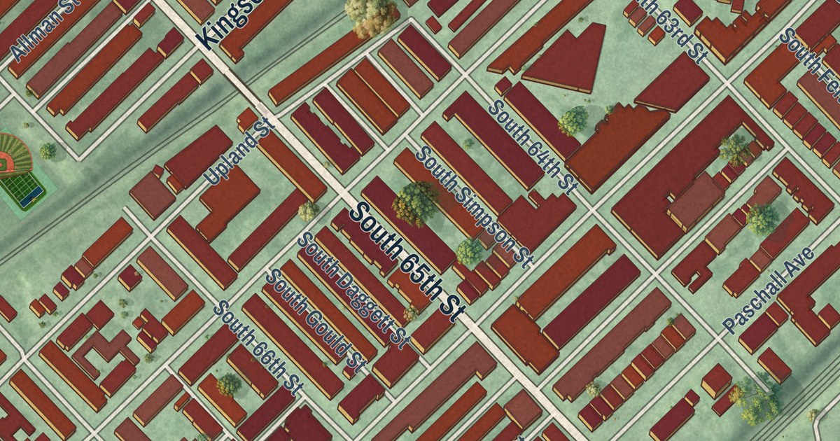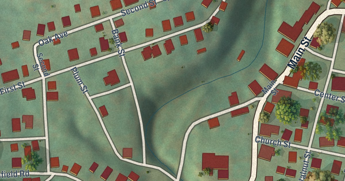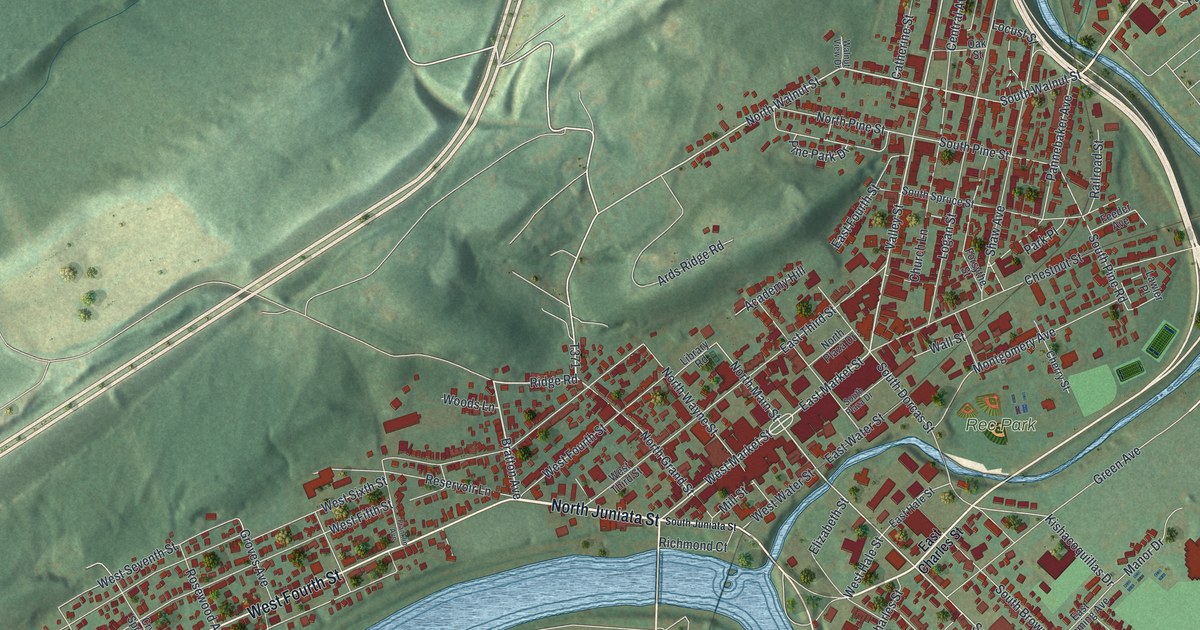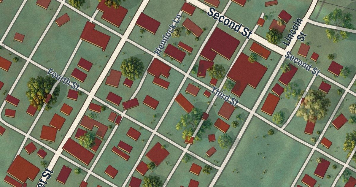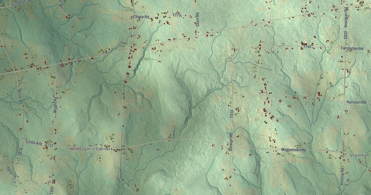
This beautifully detailed map of Rome, Crawford County, Pennsylvania was created in 2026 using aerial imagery combined with modern topographical, census, street and landmark data. It’s a one-of-a-kind view of Rome that combines accurate data with a vintage aesthetic. The map shows every building in its true location, many of the roads carry their names, and the shaded topographic relief shows the shape of the land.
Explore an aerial view of Rome, Crawford County, Pennsylvania
On the map you’ll find Vrooman, McLaughlin Corners, and Five Corners, along with Fish Flats Road, Buells Corners Road, Britton Run Road, Morrell Street, Whitney Road, Kelsey Road, Brimstone Road, and more. If you look closely you can even find your house accurately drawn in its correct location. Zoom in on the preview to look for yours.
Did you know this piece of Rome, Crawford County, Pennsylvania history?
From the 1885 History of Crawford County, Pennsylvania : "Hugh Coil, an Irishman, son of Roger Coil, of Rome Township, settled about 1815 on Tract 1644 in the southern part of the township, and remained there till death. He was a Baptist minister, and a successful hunter and farmer."
Take a closer look at the Rome, Crawford County map
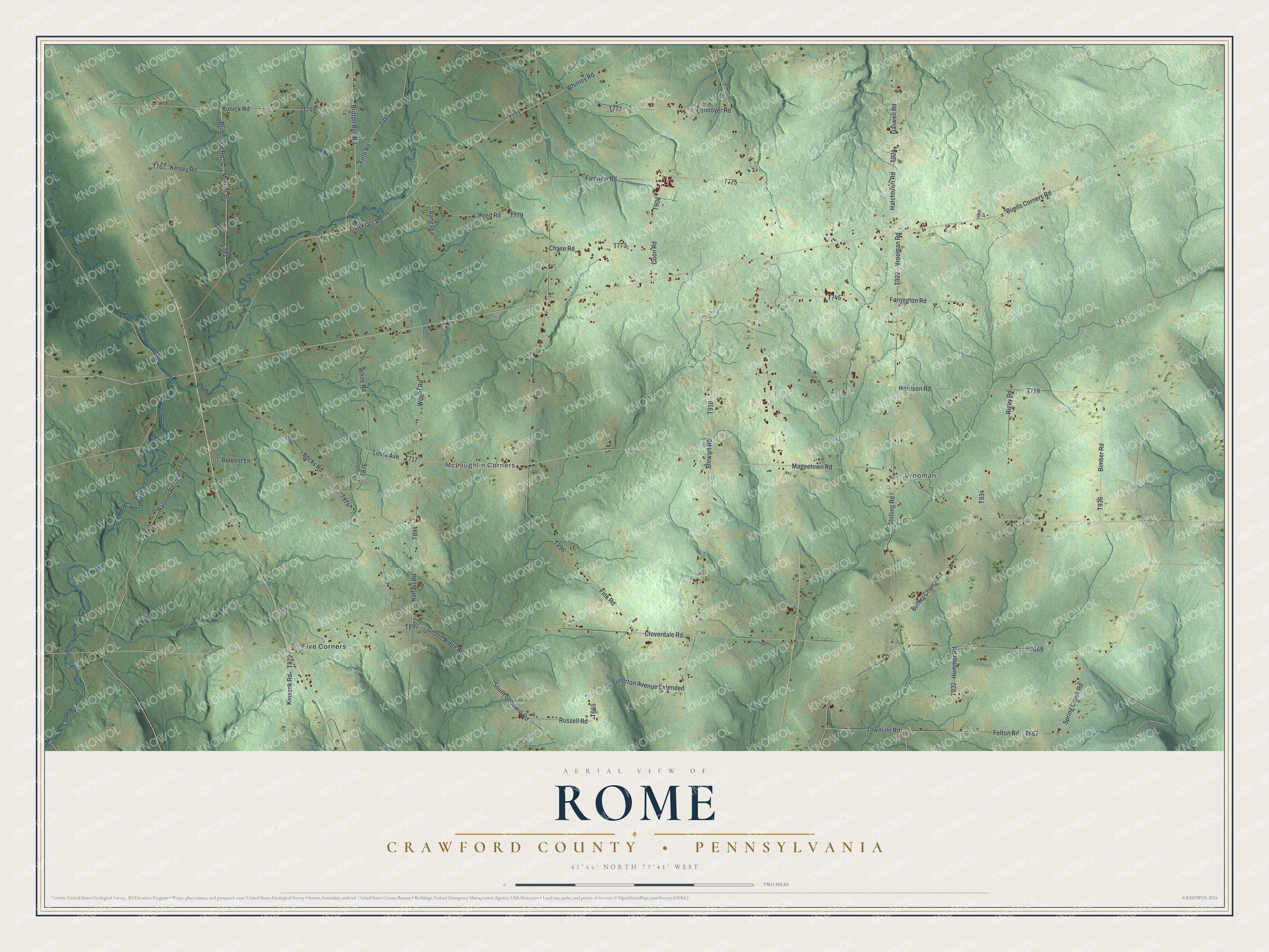
Street and place names on the Rome, Crawford County, Pennsylvania map
These names are printed on the map of Rome, Crawford County, Pennsylvania.
Places: Vrooman, McLaughlin Corners and Five Corners.
Streets and roads: Fish Flats Road, Buells Corners Road, Britton Run Road, Morrell Street, Whitney Road, Kelsey Road, Brimstone Road, Wright Road, Mageetown Road, Cloverdale Road, Fink Road, Stewart Road.
More street names, A to Z
Bangs Lane, Bement Lane, Bethel Church Road, Bimber Road, Chase Road, Coon Road, Fairview Road, Farrington Road, Felton Road, Firth Road, Fullerton Avenue Extended, Gaswell Road, Gilson Ridge Road, Halfast Road, Harrison Road, Hatchtown Road, Hummer Road, Kinsack Road, Kunick Road, Linda Avenue, Pennoyer Road, Ralston Road, Recks Road, Reed Road, Rigby Road, Russell Road, Shilling Road, South Goodwill Road, Spring Creek Road, Station Road, Tharp Lane, Townline Road, Vrooman Road, White Road.
See the Rome, Crawford County, Pennsylvania map on a wall
The Rome, Crawford County map as an 18 x 24 inch print in a black frame.

This beautifully detailed map of Rome, Crawford County makes an attractive addition to your office, library, or den, and it can even be used to teach children the geography and history of the area. It also makes a great gift for someone who left Rome and still calls it home. When you’re done exploring, click here to get your copy of the Rome, Crawford County map.