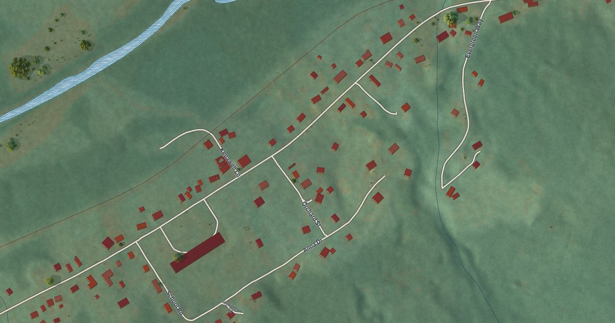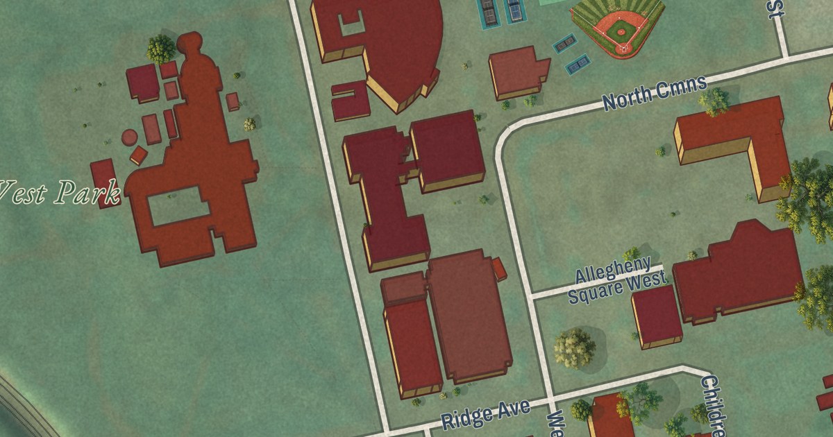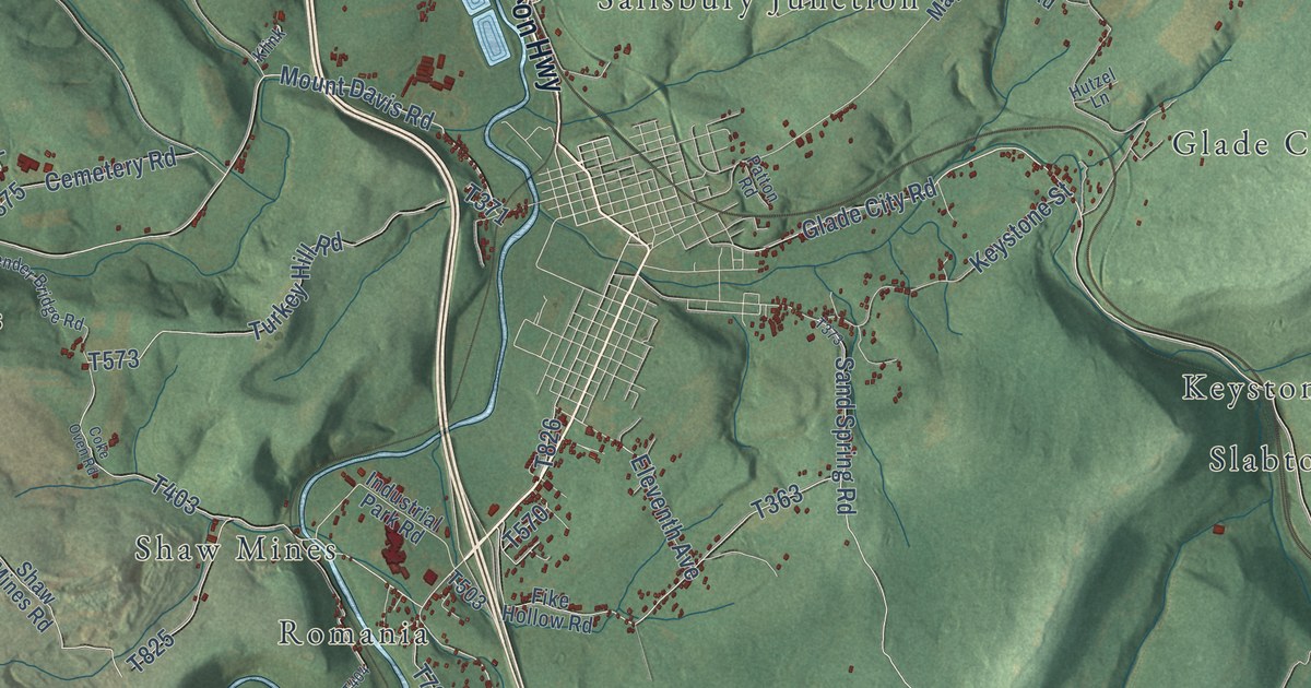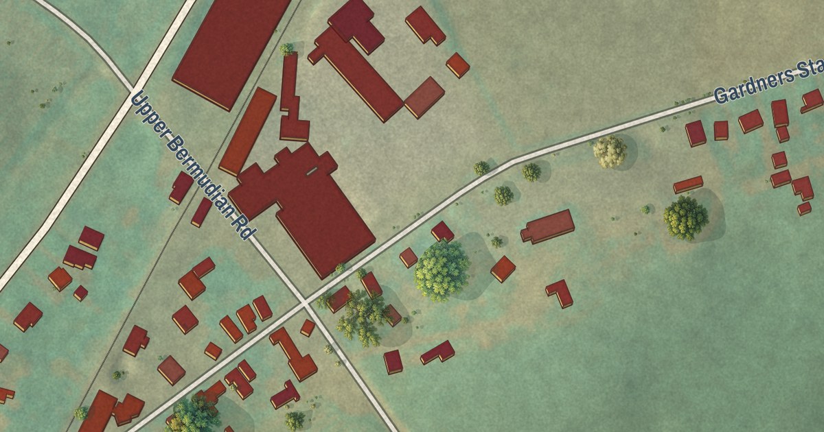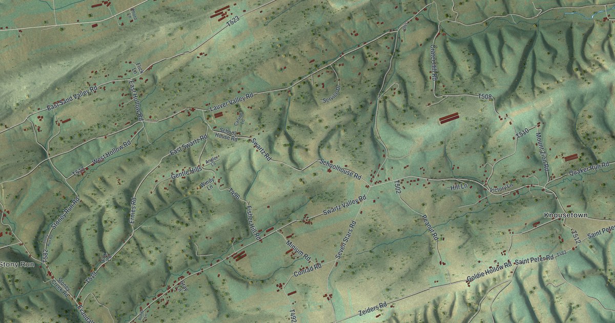
This beautifully detailed map of Monroe, Juniata County, Pennsylvania was created in 2026 using aerial imagery combined with modern topographical, census, street and landmark data. It’s a one-of-a-kind view of Monroe that combines accurate data with a vintage aesthetic. The map shows every building in its true location, many of the roads carry their names, and the shaded topographic relief shows the shape of the land.
Explore an aerial view of Monroe, Juniata County, Pennsylvania
On the map you’ll find Evendale, Kellerville, Stony Run, Loschs, Richfield, and Knousetown, along with Main Street, Middle Road, Dressler Ridge Road, Evendale Hill Road, Evandale Hill Road, and more. If you look closely you can even find your house accurately drawn in its correct location. Zoom in on the preview to look for yours.
Did you know this piece of Monroe, Juniata County, Pennsylvania history?
From the 1886 History of the Susquehanna and Juniata Valleys: "Henry Auker sold the property to Andrew Kohler, and moved, about 1822, to Fayette township, in the southeast corner, at the Delaware township line, where he was murdered in 1860."
Take a closer look at the Monroe, Juniata County map
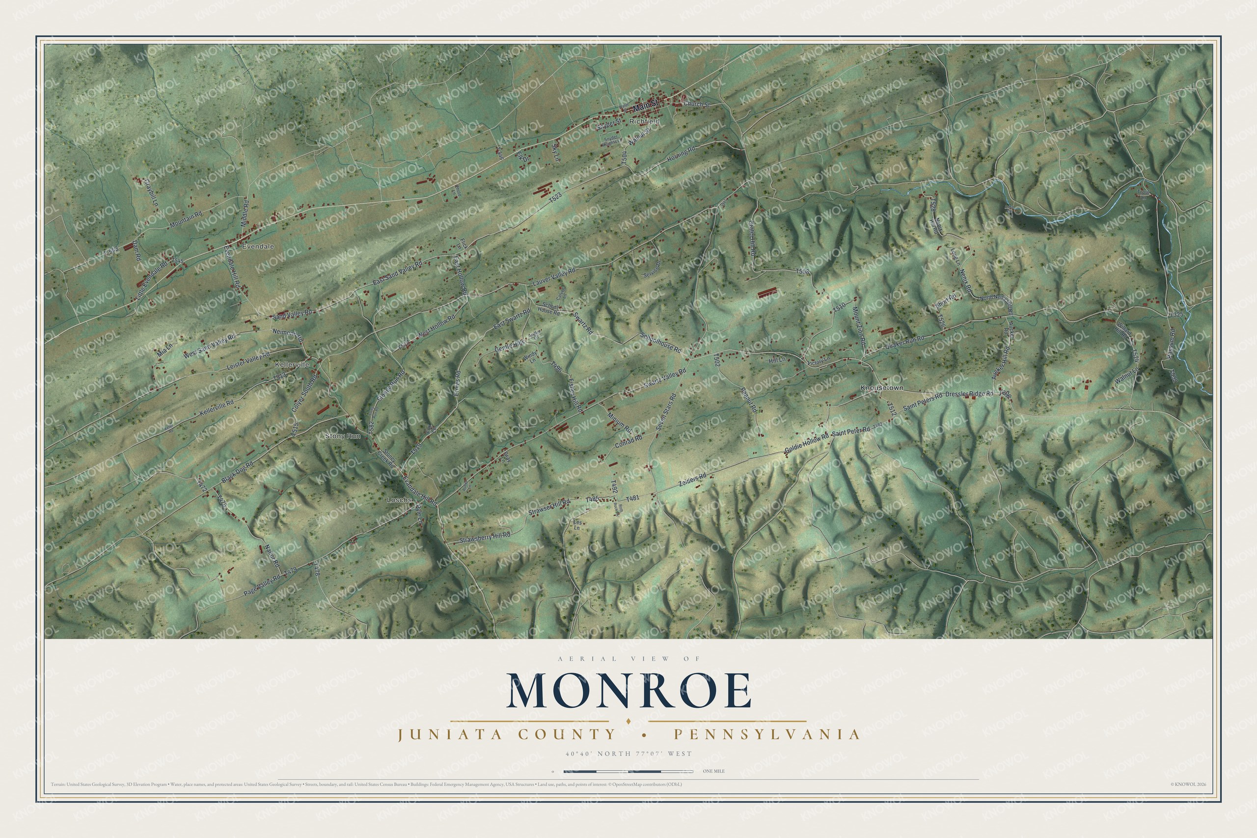
Street and place names on the Monroe, Juniata County, Pennsylvania map
These names are printed on the map of Monroe, Juniata County, Pennsylvania.
Places: Evendale, Kellerville, Stony Run, Loschs, Richfield and Knousetown.
Streets and roads: Main Street, Middle Road, Dressler Ridge Road, Evendale Hill Road, Evandale Hill Road, East Swartz Road, Neimond Road, Church Street, Horning Road, East Sand Valley Road, Sand Valley Road, Crater Hill Road.
More street names, A to Z
Angler Lane, Anna Road, Aucker Hill Road, Aucker Road, Black Dog Road, Buddy Lane, Carvell Lane, Colyer South Road, Conrad Road, Dam Road, East Hollow Road, Elk Drive, Ernies Road, Fisher Hill Road, Flick Lane, Fox Lane, Gentle Hills, Goldie Hollow Road, Graybill Lane, Gray Lane, Hill Lane, Keller Road, Kellerville Road, Lauver Valley Road, Leister Valley Road, Les Lane, Little Evendale Road, Long Lane, Mia Lane, Minium Road, Mountain Road, Mount Zion Road, Nailor Road, Nenix Hill Road, Nenix Road, North Nenix Hill Road, Page Valley Road, Peanut Road, Photo Lane, Possum Road, Pyle Lane, Quaker Run Road, Roth Rock Lane, Saint Peter Road, Saint Peters Road, Schoolhouse Road, School House Road, Service Drive, Seven Stars Road, Short Road, Sky Lane, Snyder Heights Lane, Snyder Street, Stoney Creek Road, Stoney Run Road, Stony Run Road, Strawsberry Hill Road, Strawser Hill Road, Swartz Road, Swartz Valley Road, T-543, T-546, Trout Lane, Victory Lane, Walnut Lane, Walnut Street, Water Street, West Hollow Road, West Sand Valley Road, Willard Hill Road, Windy Lane, Zeiders Road.
See the Monroe, Juniata County, Pennsylvania map on a wall
The Monroe, Juniata County map as an 18 x 24 inch print in a black frame.

This beautifully detailed map of Monroe, Juniata County makes an attractive addition to your office, library, or den, and it can even be used to teach children the geography and history of the area. It also makes a great gift for someone who left Monroe and still calls it home. When you’re done exploring, click here to get your copy of the Monroe, Juniata County map.