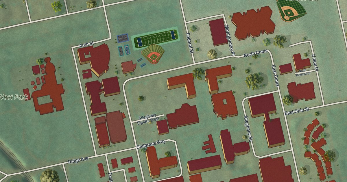
If you grew up on the North Side, or you've spent summer days in West Park and North Park, this map is for you. It shows Allegheny Center in Allegheny County, Pennsylvania, as a modern aerial view built from modern data and given a vintage look. The red buildings sit in a tight block at the middle, with the four Commons streets wrapped around them. Rail lines curve down the right side, and a wide blue river runs across the bottom.
Streets and parks around Allegheny Center
On this map you'll find Federal Street, East Ohio Street, East North Avenue, West North Avenue, Arch Street, Ridge Avenue, Brighton Road, Sandusky Street, North Commons, East Commons, South Commons, West Commons, Allegheny Square, West Park, North Park, and more. Each red shape is a building, so zoom in on the preview and look for yours.
The first CIO convention near North Commons
Allegheny Center has a big place in the story of American workers. A state historical marker stands on North Commons Drive, at MLK Elementary. It says the Congress of Industrial Organizations held its first convention near there on November 14, 1938. Thirty-four international unions took part. Pittsburgh's own Philip Murray led the CIO from 1940 to 1952. Workers close by had stood up long before that. In 1845 and 1848, women in the cotton mills of Allegheny City went on strike over 12-hour workdays. Their strikes led to an 1848 state law. It cut the workday to 10 hours and kept children under 12 out of cotton and textile mills. On the map, look for North Commons and North Park beside the red block.
Federal Street, Arch Street and two women worth knowing
Two more state markers stand on streets you can find here. Lois Weber was born at 1230 Federal Street. She was the first American woman film director. She wrote, directed and acted in more than 200 films between 1908 and 1934. Dorothy Mae Richardson's marker is at 1419 Arch Street. She lived her whole life on the North Side. In 1968 she founded Neighborhood Housing Services. Her work inspired a national movement and led to NeighborWorks America.
A map of West Park, North Park and the Commons
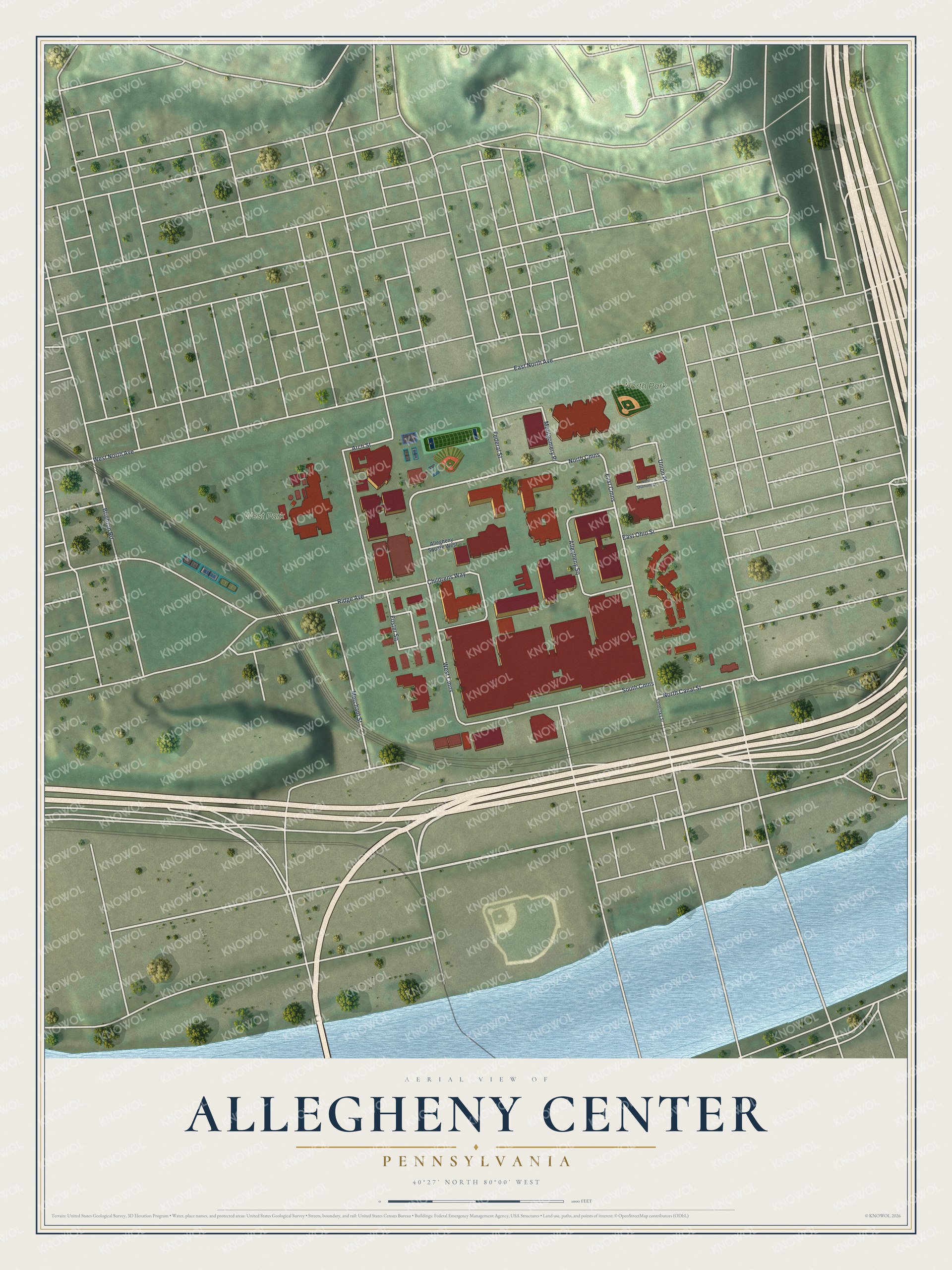
Created by KNOWOL in 2026, this print shows Allegheny Center from above, with red buildings, pale streets, green parkland, rail lines and a blue river along the bottom. The title panel reads "Aerial View of Allegheny Center, Pennsylvania," with 40°27' North 80°00' West printed below.
It suits a living room, a home office or a front hall. It's a good gift for someone who played ball in North Park, or for a North Side family member who moved away. Open the preview and find the Commons, Federal Street and your own block. See sizes and frames for the Allegheny Center map.