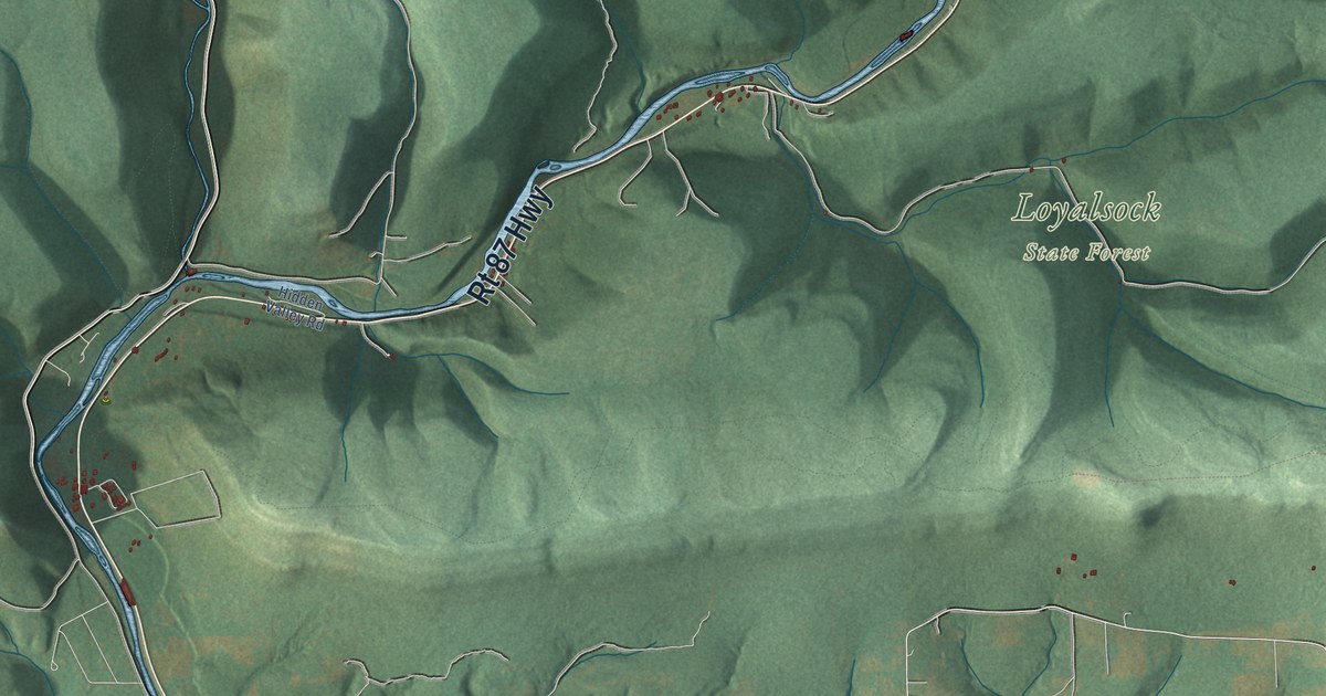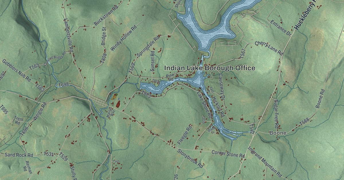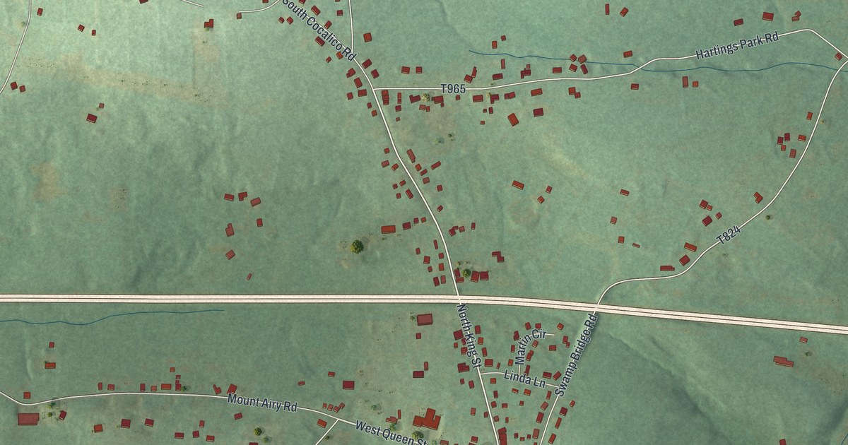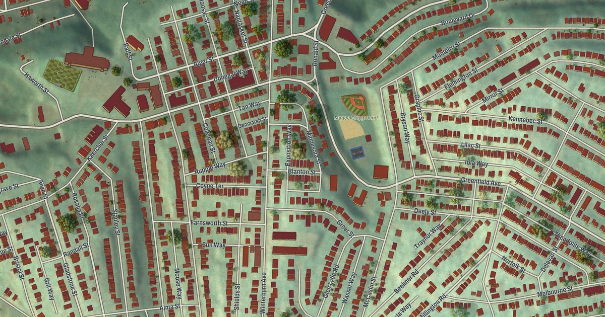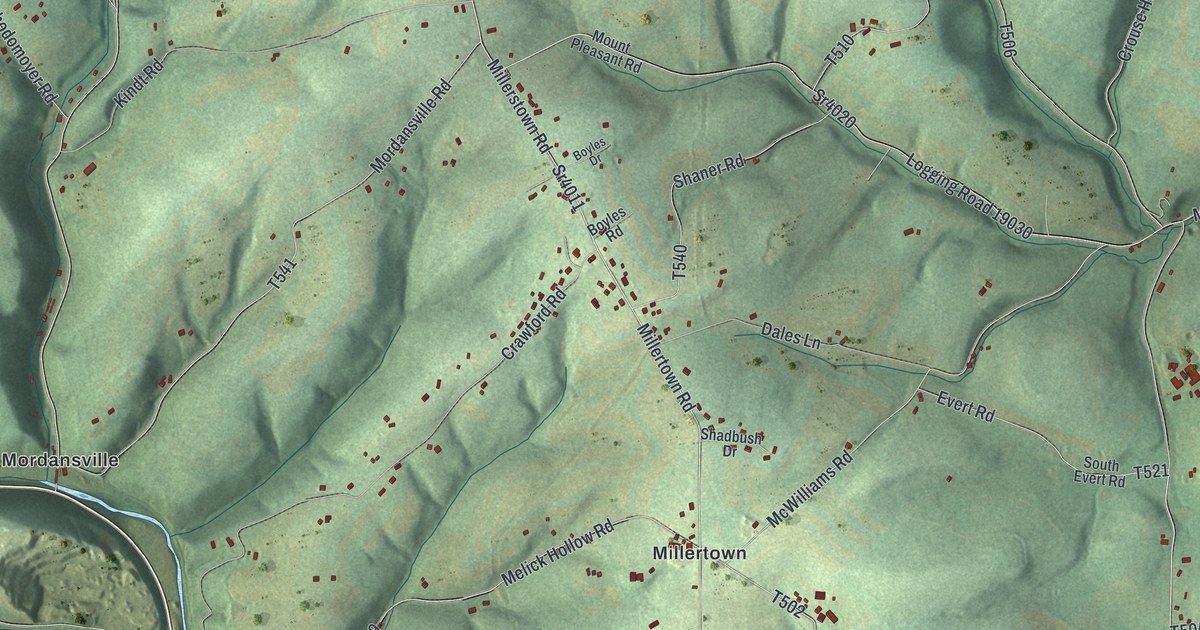
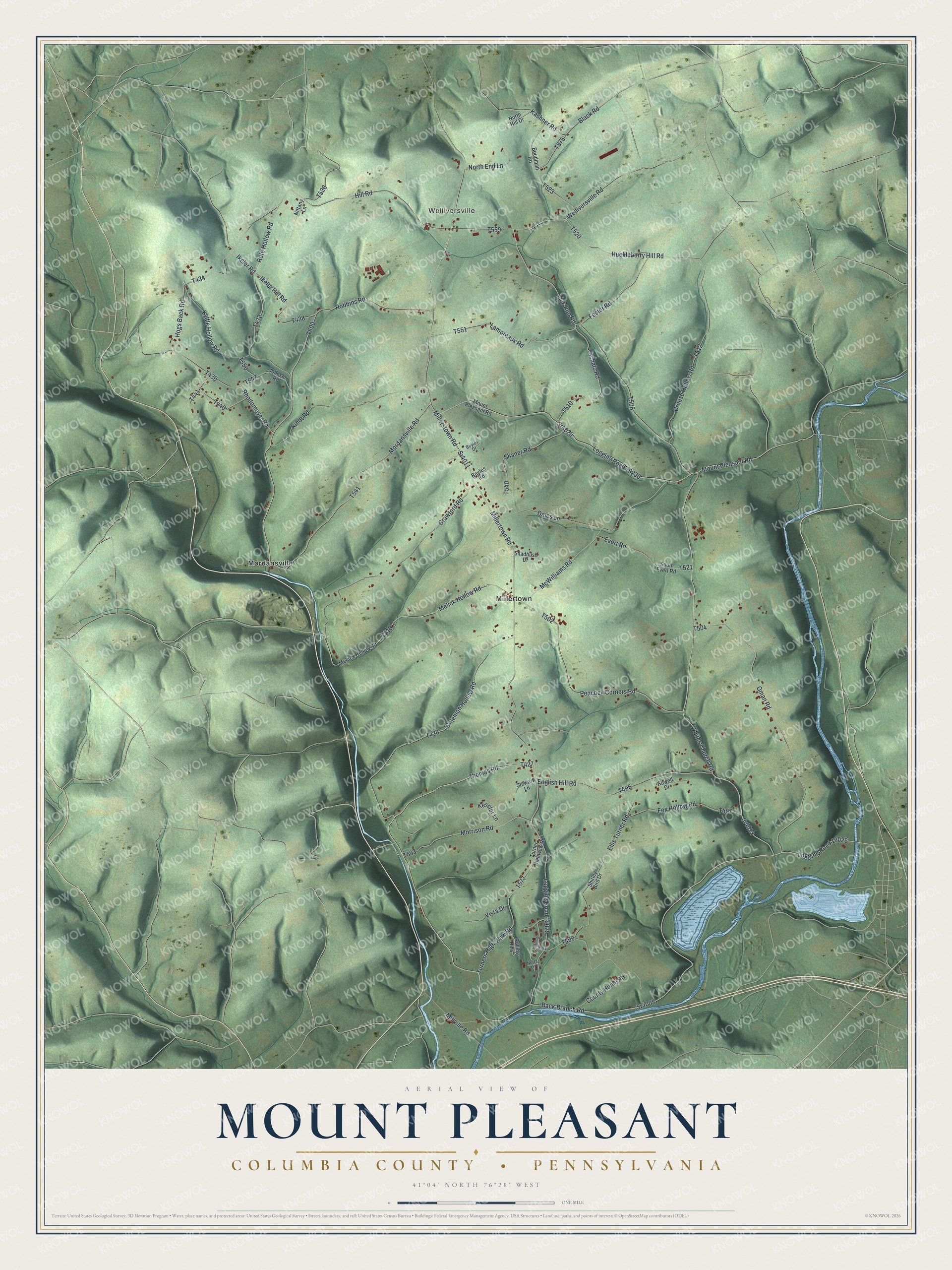
This beautifully detailed map of Mount Pleasant, Columbia County, Pennsylvania was created in 2026 using aerial imagery combined with modern topographical, census, street and landmark data. It’s a one-of-a-kind view of Mount Pleasant that combines accurate data with a vintage aesthetic. The map shows every building in its true location, many of the roads carry their names, and the shaded topographic relief shows the shape of the land.
Explore an aerial view of Mount Pleasant, Columbia County, Pennsylvania
On the map you’ll find Welliversville, Millertown, Mordansville, and Logging Road 19026, along with Millerstown Road, Millertown Road, Thomas Road, Peacock Corners Road, and more. If you look closely you can even find your house accurately drawn in its correct location. Zoom in on the preview to look for yours.
Did you know this piece of Mount Pleasant, Columbia County, Pennsylvania history?
From the 1887 History of Columbia and Montour Counties, Pennsylvania: "John Mordan, who had lived in the same township of Sussex county, New Jersey, as Eveland and Force, followed them to the Mount Pleasant hills but removed a few years later to Little Fishing creek, where he built the first saw-mill in the present limits of the township."
Take a closer look at the Mount Pleasant, Columbia County map
Street and place names on the Mount Pleasant, Columbia County, Pennsylvania map
These names are printed on the map of Mount Pleasant, Columbia County, Pennsylvania.
Places: Welliversville, Millertown and Mordansville.
Streets and roads: Millerstown Road, Sr4008, Logging Road 19026, Sr4013, Millertown Road, Thomas Road, Peacock Corners Road, Robbins Road, Mordansville Road, Rote Hollow Road, Lick Run Road, Ikeler Road.
More street names, A to Z
Back Branch Road, Black Road, Boudman Road, Boyles Drive, Boyles Road, Coleman Hollow Road, County Home Road, Crawford Road, Crouse Hollow Road, Dales Lane, Ellis Turner Road, English Hill Road, Evert Road, Fester Road, Fox Hollow Road, Hill Road, Hogs Back Road, Howell Drive, Huckleberry Hill Road, Ikeler Hill Road, Johnson Road, Kashner Road, Kessler Lane, Kindt Road, Kyttle Hollow Road, Lamoreaux Road, Logging Road 19029, Logging Road 19030, McWilliams Road, Melick Hollow Road, Mellick Hollow Road, Millville Road, Morrison Road, Mount Pleasant Road, Nittany Lane, North End Lane, North Hill Drive, Notta Lane, Oman Road, Rhodomoyer Road, Rolling Hills, Rolling Hills Drive, Schatz Road, Shadbush Drive, Shaner Road, Shirley Bird Drive, South Evert Road, Sr4011, Sr4020, Stewart Lane, Turner Highview Road, Turners High View Road, Vista Drive, Welliversville Road, Whites Church Road.
See the Mount Pleasant, Columbia County, Pennsylvania map on a wall
The Mount Pleasant, Columbia County map as an 18 x 24 inch print in a black frame.

This beautifully detailed map of Mount Pleasant, Columbia County makes an attractive addition to your office, library, or den, and it can even be used to teach children the geography and history of the area. It also makes a great gift for anyone with Mount Pleasant roots. When you’re done exploring, click here to get your copy of the Mount Pleasant, Columbia County map.