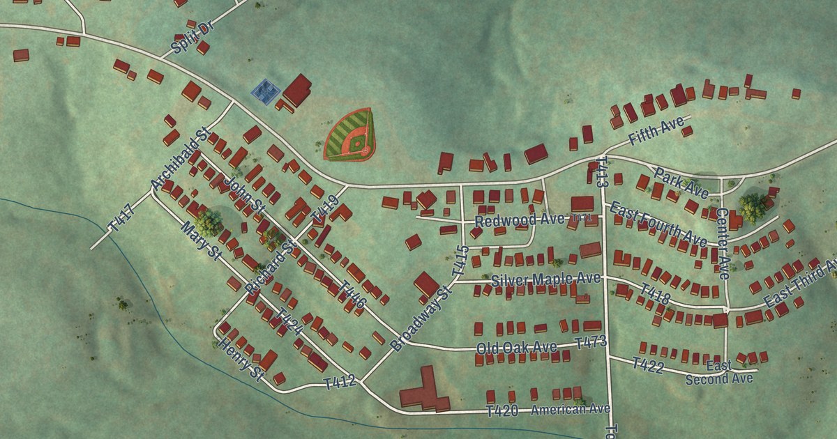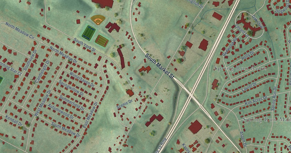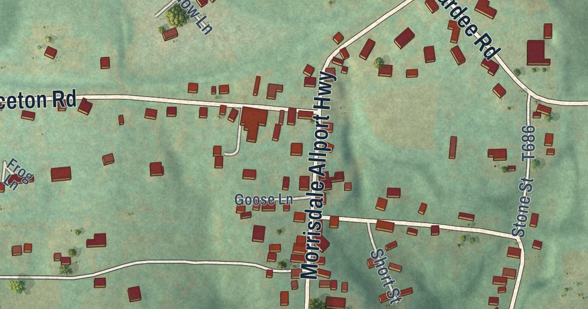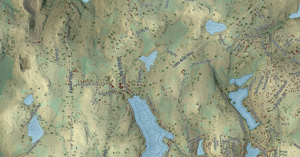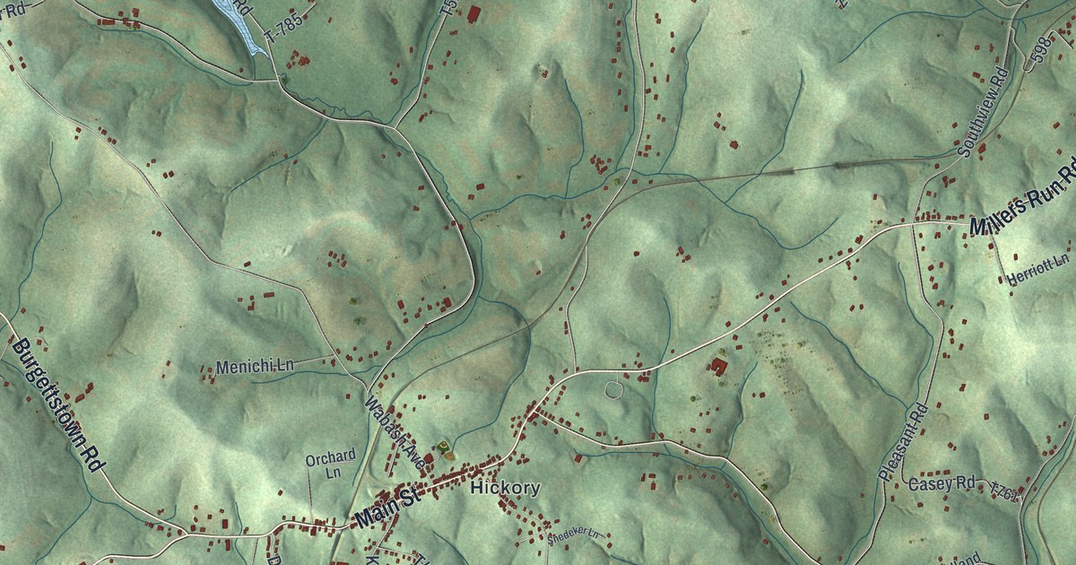
This beautifully detailed map of Mount Pleasant, Washington County, Pennsylvania was created in 2026 using aerial imagery combined with modern topographical, census, street and landmark data. It’s a one-of-a-kind view of Mount Pleasant that combines accurate data with a vintage aesthetic. The map shows every building in its true location, many of the roads carry their names, and the shaded topographic relief shows the shape of the land.
Explore an aerial view of Mount Pleasant, Washington County, Pennsylvania
On the map you’ll find Primrose, Hickory, Southview, and Westland, along with Henderson Road, Millers Run Road, Main Street, Avella Road, Westland Road, Burgettstown Road, Fort Cherry Road, and more. If you look closely you can even find your house accurately drawn in its correct location. Zoom in on the preview to look for yours.
Did you know this piece of Mount Pleasant, Washington County, Pennsylvania history?
Hickory, a village in Mount Pleasant Township, got its name from a joke. Axemen opening a road stopped here at dinner time and used an old broken sled as a table. One man pulled down a hickory sapling tied to the sled. It sprang back up, carrying the sled. They called the spot the Hickory tavern, and the name stuck. That’s from the 1882 History of Washington County, Pennsylvania.
Take a closer look at the Mount Pleasant, Washington County map
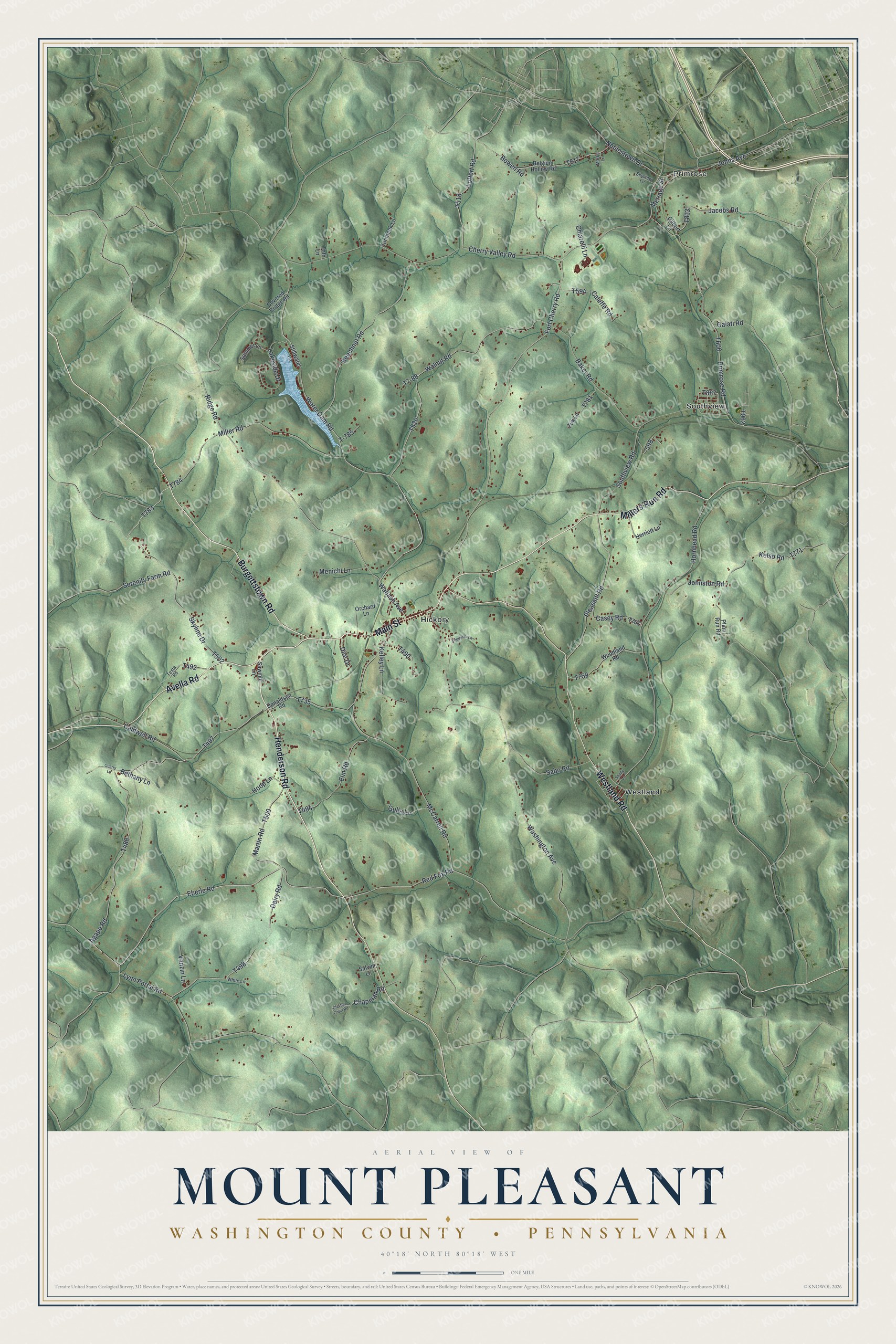
Street and place names on the Mount Pleasant, Washington County, Pennsylvania map
These names are printed on the map of Mount Pleasant, Washington County, Pennsylvania.
Places: Primrose, Hickory, Southview and Westland.
Streets and roads: Henderson Road, Millers Run Road, Main Street, Avella Road, Westland Road, Burgettstown Road, Fort Cherry Road, Noblestown Drive, Ridge Road, Water Dam Road, Eberle Road, Loffert Road.
More street names, A to Z
Agape Road, Baker Road, Beechnut Road, Belgium Hollow Road, Bethany Lane, Bowen Road, Caldwell Road, Caleffe Road, Casey Road, Chapman Road, Cherry Valley Road, Chiarelli Lane, Clayton Court Road, Covered Bridge Road, Dairy Road, Dire Drive, Donaldson Road, Elm Road, Galati Road, Gilbert Lane, Gulla Lane, Herriott Lane, Hoop Lane, Hornhead Road, Jacobs Road, Johns Avenue, Johnston Road, Kelley Lane, Kelso Road, Lakeside Drive, Lynn Portal Road, Marks Lane, Martin Road, McCarrell Road, Menichi Lane, Meriage Street, Miller Road, Orchard Lane, Pleasant Road, Plum Run Road, Primrose Road, Quarry Lane, Red Fox Road, Sabo Road, Salvini Lane, Sawmill Lane, Serenity Farm Road, Shady Lane, Skyline Drive, Skyview Lane, Snedeker Lane, Southview Road, Stillwater Lane, Summer Lane, T-785, T7-88, Testa Road, Toth Lane, Vanzin Lane, Wabash Avenue, Walnut Road, Washington Avenue, White Lane, Woodland Road, Zombeck Lane, Zuk Lane.
See the Mount Pleasant, Washington County, Pennsylvania map on a wall
The Mount Pleasant, Washington County map as an 18 x 24 inch print in a black frame.

This beautifully detailed map of Mount Pleasant, Washington County makes an attractive addition to your office, library, or den, and it can even be used to teach children the geography and history of the area. It also makes a great gift for someone who left Mount Pleasant and still calls it home. When you’re done exploring, click here to get your copy of the Mount Pleasant, Washington County map.