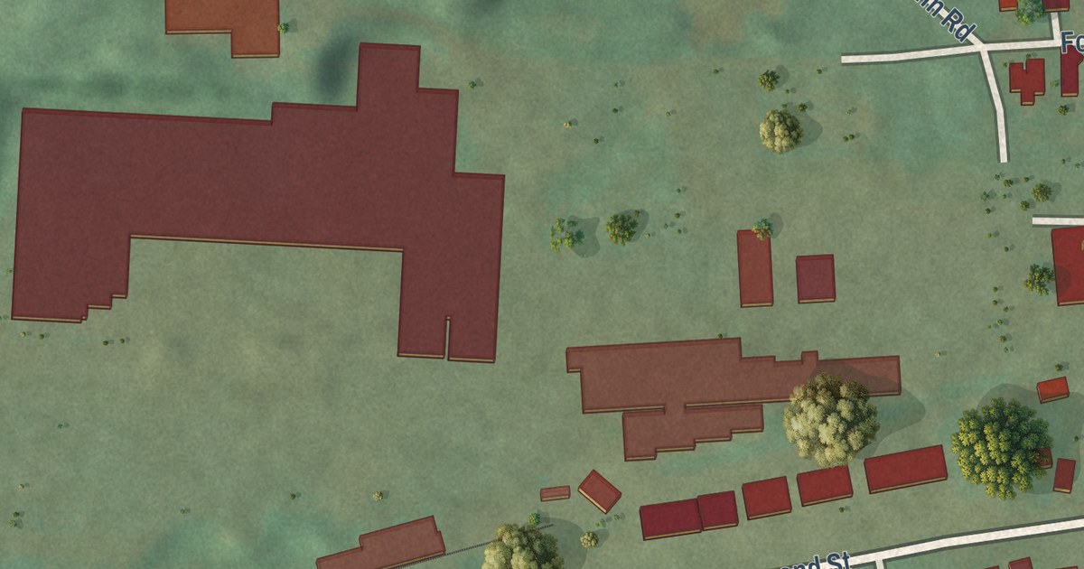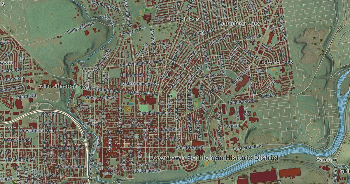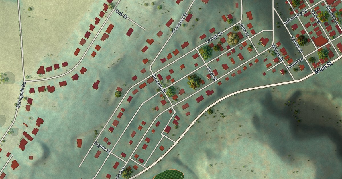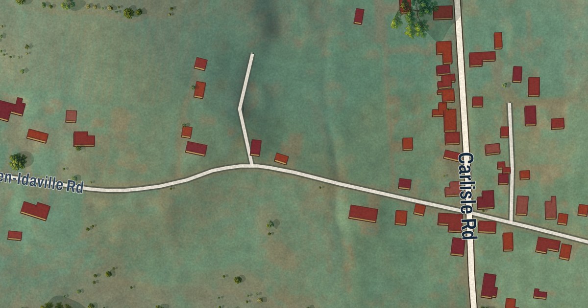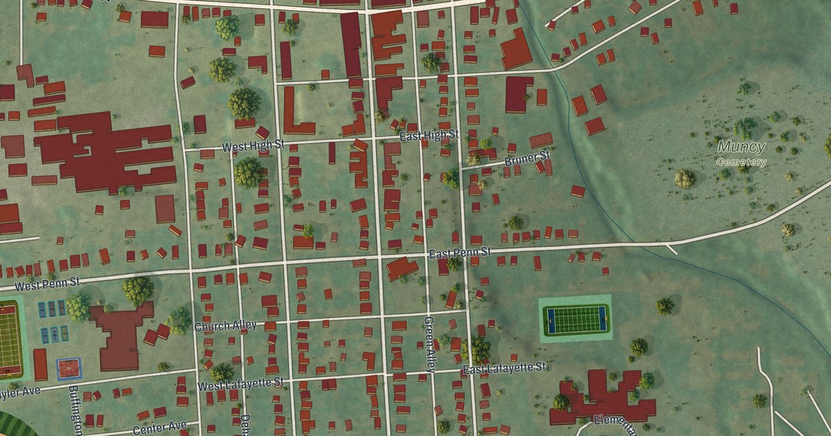
This beautifully detailed map of Muncy Borough, Pennsylvania was created in 2026 using aerial imagery combined with modern topographical, census, street and landmark data. It’s a one-of-a-kind view of Muncy Borough that combines accurate data with a vintage aesthetic. The map shows every building in its true location, many of the roads carry their names, and the shaded topographic relief shows the shape of the land.
Explore an aerial view of Muncy Borough, Pennsylvania
On the map you’ll find Muncy Cemetery, along with East Water Street, West Water Street, West Penn Street, Railroad Street, South Main Street, East Penn Street, Shuttle Hill Road, North Market Street, South Washington Street, Broadway Street, South Market Street, and more. If you look closely you can even find your house accurately drawn in its correct location. Zoom in on the preview to look for yours.
Did you know this piece of Muncy Borough, Pennsylvania history?
From the Pennsylvania Historical and Museum Commission: "Laid out, 1799, by Benjamin McCarty. Named for the Monsey Indians, tribe of Delawares, who inhabited this area before arrival of the whites. Four Indian paths – Shamokin, Wyalusing, Wyoming, Towanda – formed a junction here."
Take a closer look at the Muncy Borough map
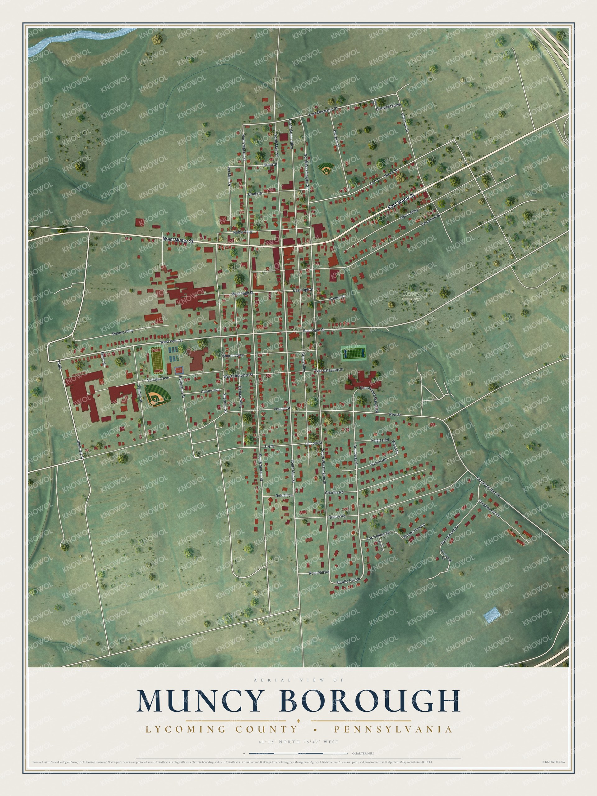
Street and place names on the Muncy Borough, Pennsylvania map
These names are printed on the map of Muncy Borough, Pennsylvania.
Places: Muncy Cemetery.
Streets and roads: East Water Street, West Water Street, West Penn Street, Railroad Street, South Main Street, East Penn Street, Shuttle Hill Road, North Market Street, South Washington Street, Broadway Street, South Market Street, East Mechanic Street.
More street names, A to Z
Brady Street, Briarwood Lane, Bruner Street, Buffington Street, Buttonwood Lane, Carpenter Street, Center Avenue, Charles Road, Chestnut Lawn, Chestnut Street, Church Alley, Dehaas Alley, Division Street, East High Street, East Lafayette Street, Elementary School Drive, Feigles Road, Fox Hollow Circle, Fox Hollow Road, Grant Street, Green Alley, Green Street, Lawn Street, Lincoln Street, Myers Alley, New Street, Noble Alley, North Green Alley, North Main Street, North Washington Street, Old Glade Run Road, Painter Street, Pepper Street, Quarry Road, Riddell Lane, Rose Hill Road, Schuyler Avenue, Sherman Street, Smith Street, Sprout Road, Swamp Alley, T-479, Tanglewood Road, Vet Mem Drive, West High Street, West Lafayette Street, Woods Run Road, Wood Street.
See the Muncy Borough, Pennsylvania map on a wall
The Muncy Borough, Lycoming County map as an 18 x 24 inch print in a black frame.

This beautifully detailed map of Borough of Muncy, Lycoming County makes an attractive addition to your office, library, or den, and it can even be used to teach children the geography and history of the area. It also makes a great gift for anyone with Muncy Borough roots. When you’re done exploring, click here to get your copy of the Borough of Muncy, Lycoming County map.