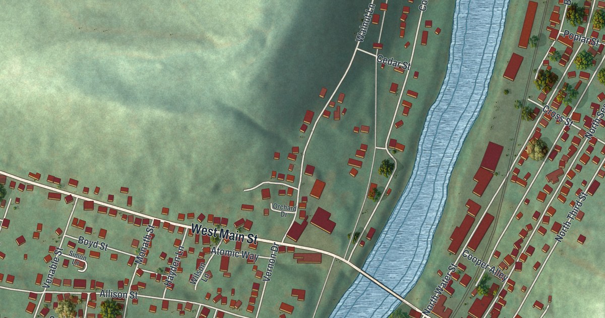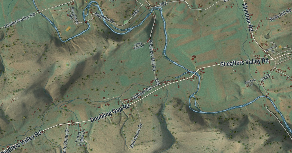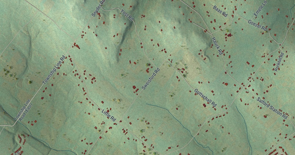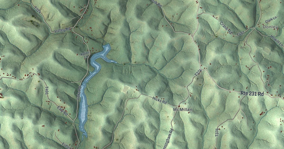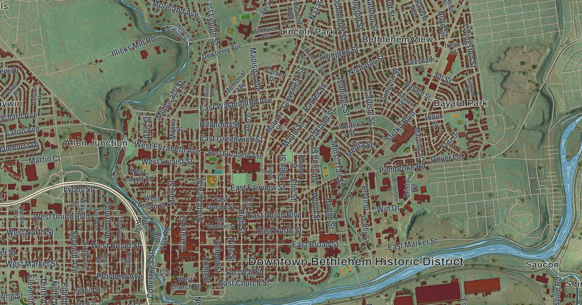
If you grew up in Bethlehem, walked Main Street on a Saturday, or have family in South Bethlehem, this print is for you. It's a modern aerial view of the city of Bethlehem, which sits in both Lehigh County and Northampton County, Pennsylvania, made from modern data with a vintage artistic feel. A wide blue river winds across the middle of the sheet. Downtown and the neighborhoods to the north fill the land above it, and South Bethlehem sits below. More than 42,000 buildings are drawn in red, and green, shaded hills rise to the south.
Main Street, Broadway and South Bethlehem on the map
On this map you'll find Main Street, Broadway, East Third Street, East Fourth Street, Wyandotte Street, Linden Street, New Street, West Broad Street, West Church Street, Stefko Boulevard, Schoenersville Road, Hellertown Road, the Downtown Bethlehem Historic District, South Bethlehem, Lincoln Park, and more. Each red shape is a building, so zoom in on the preview and look for yours.
Bethlehem Steel, from rails to skyscrapers
For more than a hundred years, Bethlehem was a steel town. A state historical marker near East Third Street tells the story. In 1863, Bethlehem Iron Co. began making railroad rails here. Steel making started in 1873, with armor plate and guns forged for the US Navy. Charles M. Schwab started Bethlehem Steel Corporation in 1904. By World War I, it was among the largest steel producers in the world. Steel made here went into many famous skyscrapers and long bridges. The work was hard. In 1910, more than 9,000 steelworkers went on strike over wages and work conditions. The plant closed in 1995. Today, long red buildings line the river's south bank near East Third Street.
How Bethlehem got its name on Christmas Eve 1741
The city is older than the mill. Moravians founded Bethlehem in 1741. Their first house stood at what is now 437 Main Street. On Christmas Eve that year, Count Zinzendorf led a love feast in that house, and he named the place Bethlehem. Another marker says the oldest buildings are on West Church Street. You can find both Main Street and West Church Street on this print.
Keep Main Street and South Bethlehem close
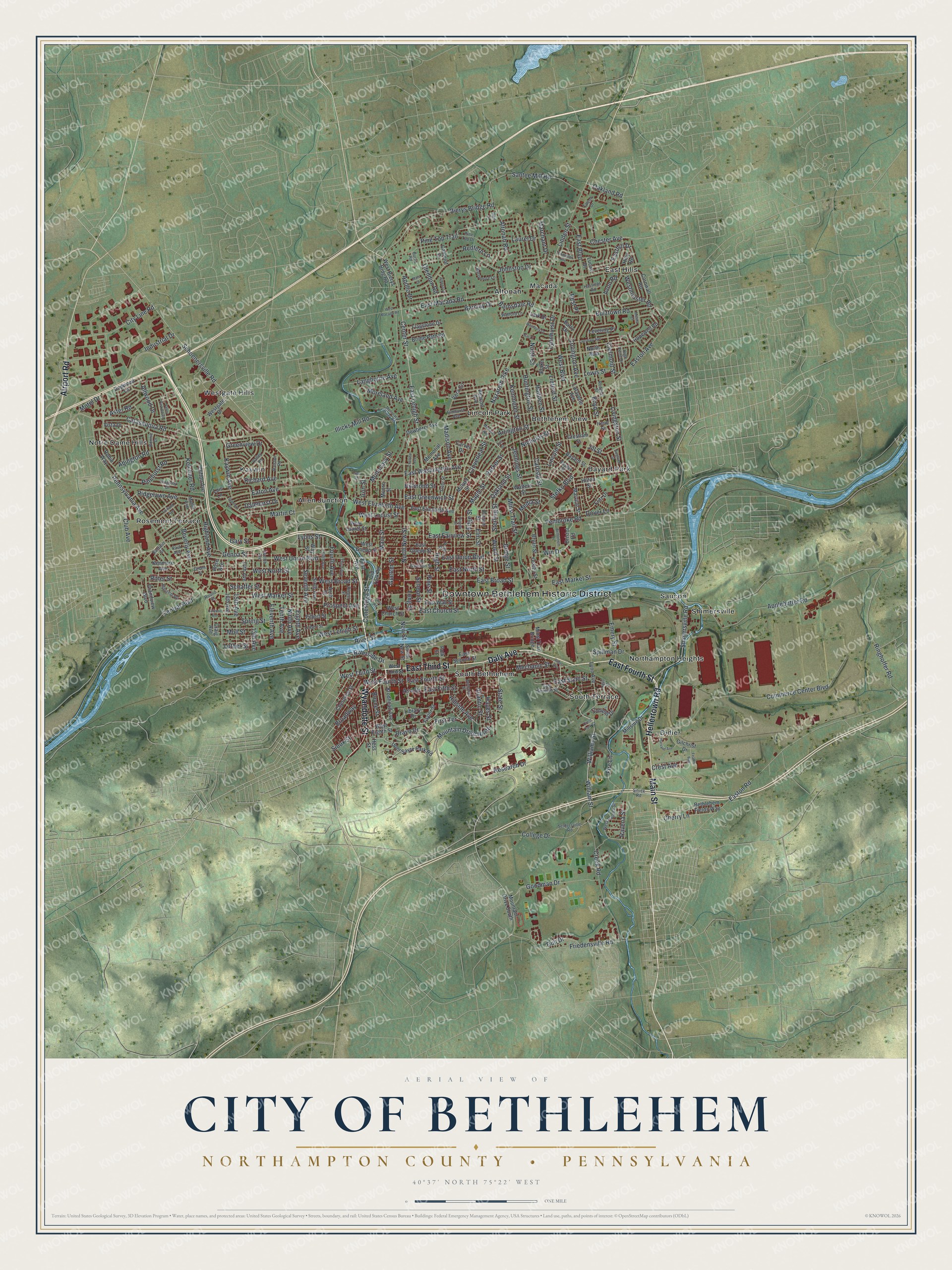
Created by KNOWOL in 2026, the print sets red buildings and pale street lines over a green, shaded view of the river valley and hills. The title panel reads "Aerial View of City of Bethlehem," with "Northampton County • Pennsylvania" and 40°37' North 75°22' West below.
It suits a living room, a front hall or a home office. It's a good gift for a family that worked at the steel plant, a Lehigh University graduate, or anyone who moved away from Main Street and still misses it. Open the preview and find your own block. See sizes and frames for the City of Bethlehem, Northampton County map.