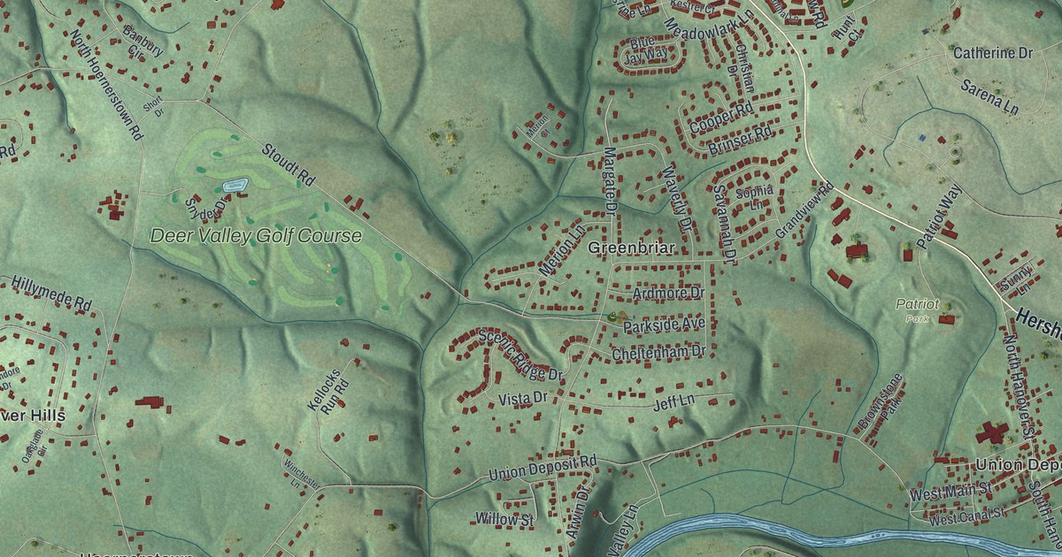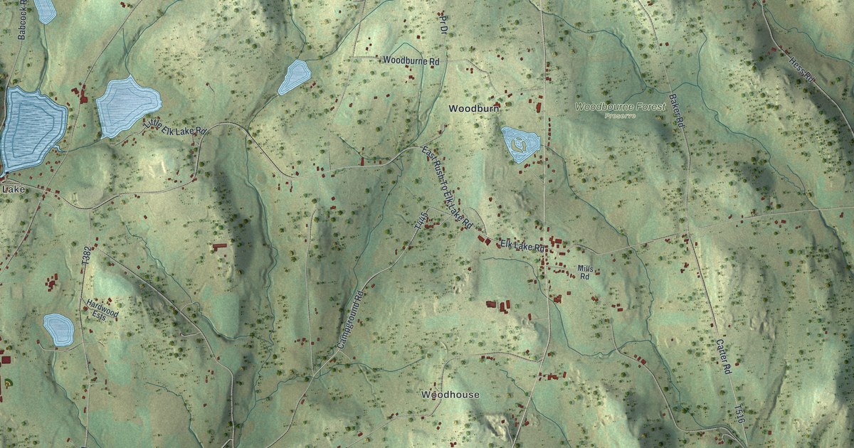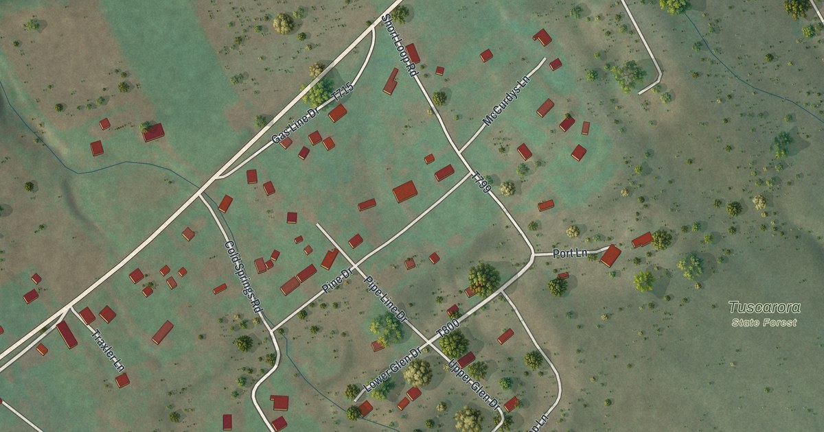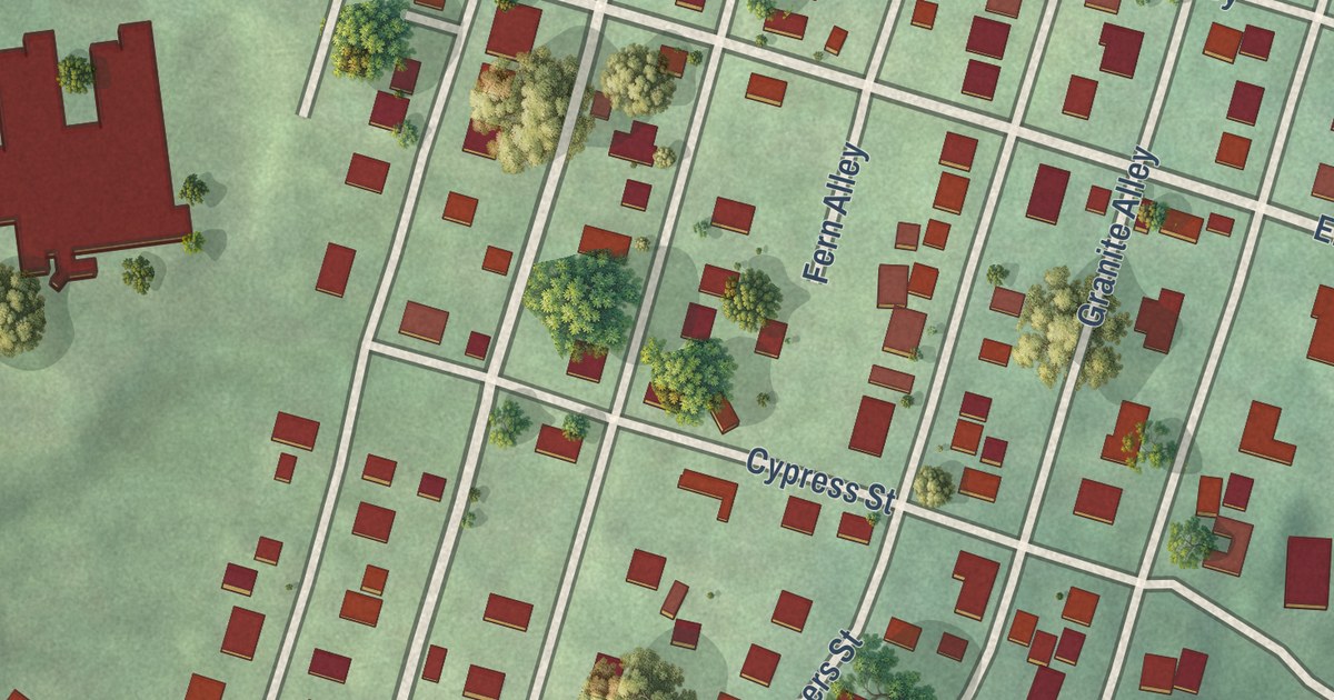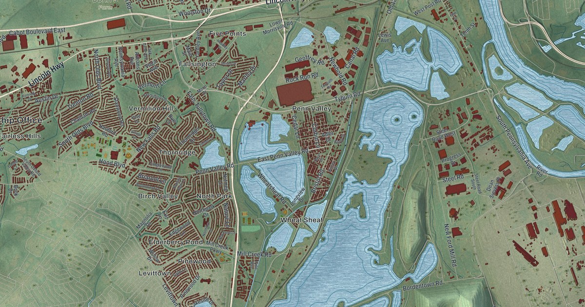
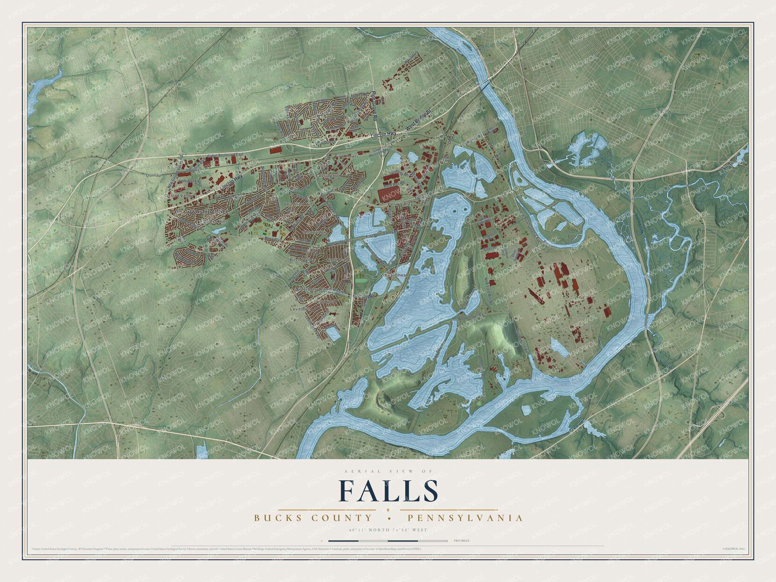
This beautifully detailed map of Falls, Bucks County, Pennsylvania was created in 2026 using aerial imagery combined with modern topographical, census, street and landmark data. It’s a one-of-a-kind view of Falls that combines accurate data with a vintage aesthetic. The map shows every building in its true location, many of the roads carry their names, and the shaded topographic relief shows the shape of the land.
Explore an aerial view of Falls, Bucks County, Pennsylvania
On the map you’ll find Falls Township Office, Dunlap, John’s Farm, Birch Valley, Elderberry Pond, Fairless Hills, Fallsington, Five Points, Levittown, North Park, Oxford Valley, Penn Valley, and more. If you look closely you can even find your house accurately drawn in its correct location. Zoom in on the preview to look for yours.
Did you know this piece of Falls, Bucks County, Pennsylvania history?
From the 1876 History of Bucks County, Pennsylvania: "Some of the present geographical subdivisions were called townships, and by the names they now bear, several years before they were so declared by law."
Take a closer look at the Falls, Bucks County map
Street and place names on the Falls, Bucks County, Pennsylvania map
These names are printed on the map of Falls, Bucks County, Pennsylvania.
Places: Falls Township Office, Dunlap, John's Farm, Birch Valley, Elderberry Pond, Fairless Hills, Fallsington, Five Points, Levittown, North Park, Oxford Valley, Penn Valley, Pinewood, Thornridge, Vermilion Hill and Wheat Sheaf.
Streets and roads: Lincoln Highway, Pine Grove Road, West Bridge Street, Tyburn Road, South Pennsylvania Avenue, Bristol Road, Woolston Drive, Newbold Road, West Trenton Avenue, Penn Valley Road, Oxford Valley Road, Old 13.
More street names, A to Z
Adler Drive, Alden Avenue, Arleans Avenue, Austin Drive, Beatty Drive, Bernard Drive, Bordentown Road, Briaroot Lane, Buck Drive, Burning Bush Lane, Buttonwood Lane, Cabot Boulevard East, Canal Road, Cedar Lane, Chatham Road, Commerce Boulevard, Corbin Lane, Dean Sievers Place, Dike Road, Doloro Drive, Dover Drive, East Penn Valley Road, East Post Road, Edgewood Lane, Elbow Lane, Exit Lane, Falls Tullytown Road, Fifth Street, Finley Drive, Geoffrey Road, Glouster Road, Goble Court, Hanford Road, Headley Place, Hedgerow Drive, Hood Boulevard, Howley Drive, Independence Drive, Industrial Boulevard, Jensen Drive, Juliet Road, Kennedy Drive, Lakeside Drive, Lauderbach Road, Lesha Drive, Levittown Parkway, Lewis Avenue, Lions Drive, Longview Drive, Louise Drive, Lower Morrisville Road, Lynn Avenue, Magnolia Drive, Main Street, Makefield Road, Martha Drive, Mill Creek Parkway, Mill Creek Road, Moon Drive, Nature Lane, New Falls Road, New Ford Mill Road, New Oxford Valley Road, New Pond Lane, North Olds Boulevard, Northpark Drive, Northturn Lane, Nutmeg Lane, Oak Lane Avenue, Olds Boulevard, Palm Lane, Pennsbury Road, Penns Grant Drive, Pennsylvania Avenue, Pinewood Drive, Progress Drive, Rice Drive, River Road, Rock Run Road, Rue Court, South Olds Boulevard, South Oxford Valley Road, Stanwood Road, Steel Road, Steel Road South, Steel Road West, Stevens Road, Stony Hill Road, Suffolk Road, Tanglewood Lane, Taylor Drive, Tenth Street, Thornridge Drive, Timber Lane, Towpath Road, Trenton Road, Valley View Drive, Vase Lane, Vermillion Drive, Vermont Lane, Village Lane, Virga Avenue, Walnut Lane, Walton Drive, West Post Road, Wheatsheaf Road, Willow Drive, Winding Way, Wyandotte Road, Yardley Avenue.
See the Falls, Bucks County, Pennsylvania map on a wall
The Falls, Bucks County map as an 18 x 24 inch print in a black frame.

This beautifully detailed map of Falls, Bucks County makes an attractive addition to your office, library, or den, and it can even be used to teach children the geography and history of the area. It also makes a great gift for anyone with Falls roots. When you’re done exploring, click here to get your copy of the Falls, Bucks County map.