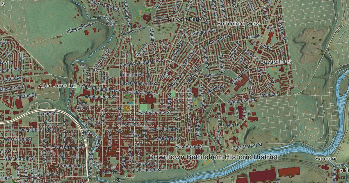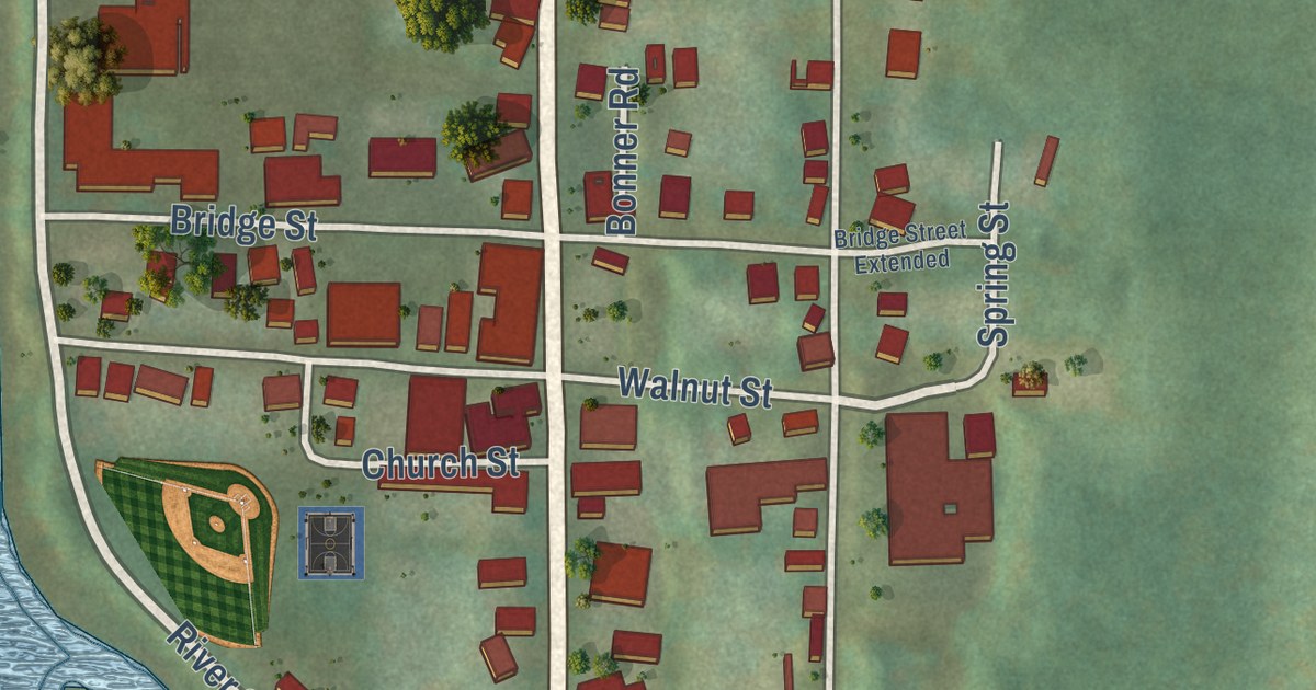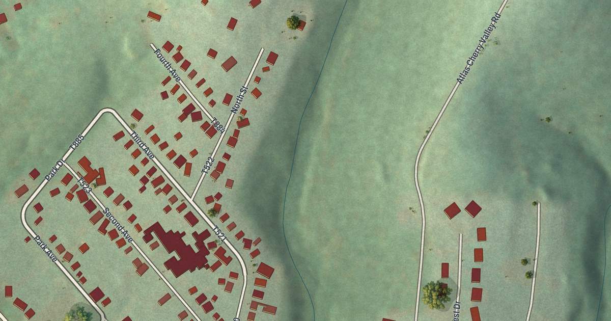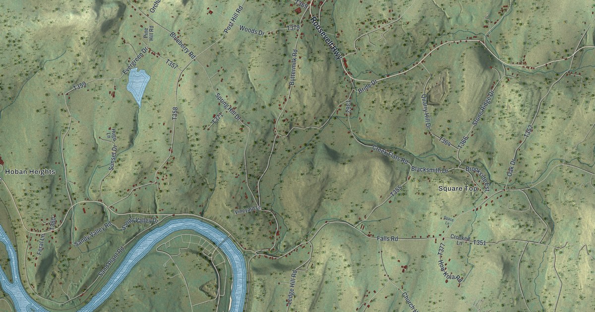
This beautifully detailed map of Falls, Wyoming County, Pennsylvania was created in 2026 using aerial imagery combined with modern topographical, census, street and landmark data. It’s a one-of-a-kind view of Falls that combines accurate data with a vintage aesthetic. The map shows every building in its true location, many of the roads carry their names, and the shaded topographic relief shows the shape of the land.
Explore an aerial view of Falls, Wyoming County, Pennsylvania
On the map you’ll find Wyoanna, Hoban Heights, Mill City, and Square Top, along with Roosevelt Highway, Evergreen Drive, Sandy Valley Road, Post Hill Road, Falls Road, Blueberry Road, Old Mill Road, and more. If you look closely you can even find your house accurately drawn in its correct location. Zoom in on the preview to look for yours.
Did you know this piece of Falls, Wyoming County, Pennsylvania history?
From the 1880 History of Luzerne, Lackawanna, and Wyoming Counties, Pennsylvania: "As long as their ammunition lasted the pioneers were secure against starvation, and when it was gone there was no place near where they could get a supply, unless they found a new comer who had some and would divide."
Take a closer look at the Falls, Wyoming County map
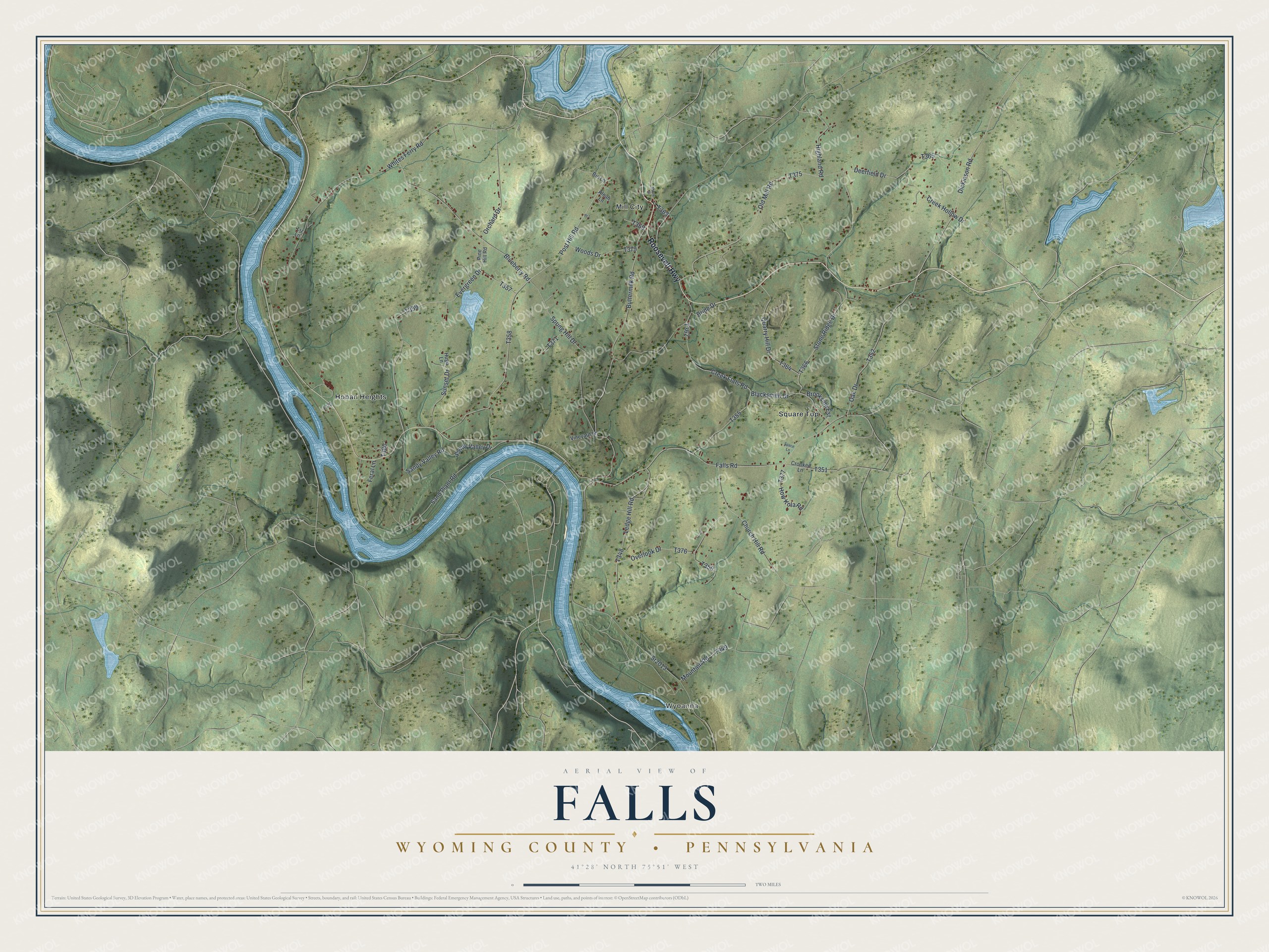
Street and place names on the Falls, Wyoming County, Pennsylvania map
These names are printed on the map of Falls, Wyoming County, Pennsylvania.
Places: Wyoanna, Hoban Heights, Mill City and Square Top.
Streets and roads: Roosevelt Highway, Evergreen Drive, Sandy Valley Road, Post Hill Road, Falls Road, Blueberry Road, Old Mill Road, Buttermilk Road, Whites Ferry Road, Sand Plant Road, Highland Road, Dickinson Road.
More street names, A to Z
Aleah Lane, Bin Lane, Blacksmith Drive, Bride Drive, Brookside Est, Church Hill Road, Creek Flats Road, Creek Hollow Drive, Crooked Lane, Deerfield Drive, Feral Lane, How Kola Road, Hugo Lane, Ledge Hill Road, Liz Lane, Maple Drive, Mountain Road, Oak Drive, Orchard Drive, Overlook Drive, Pine Hill Road, Quarry Hill Drive, Rr1, Sandy Valley Drive, Space Lane, Spring Hill Drive, Sr2013, Stone Ridge Drive, Sunset Drive, Vineyard Lane, Woods Drive.
See the Falls, Wyoming County, Pennsylvania map on a wall
The Falls, Wyoming County map as an 18 x 24 inch print in a black frame.

This beautifully detailed map of Falls, Wyoming County makes an attractive addition to your office, library, or den, and it can even be used to teach children the geography and history of the area. It also makes a great gift for someone who left Falls and still calls it home. When you’re done exploring, click here to get your copy of the Falls, Wyoming County map.