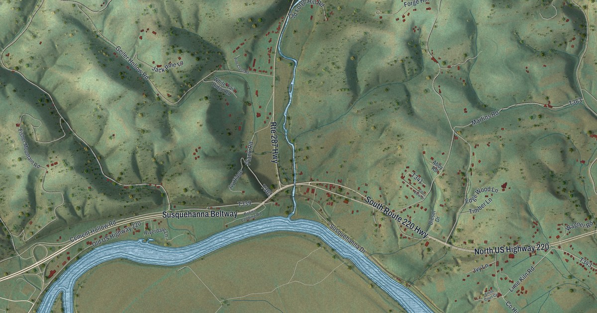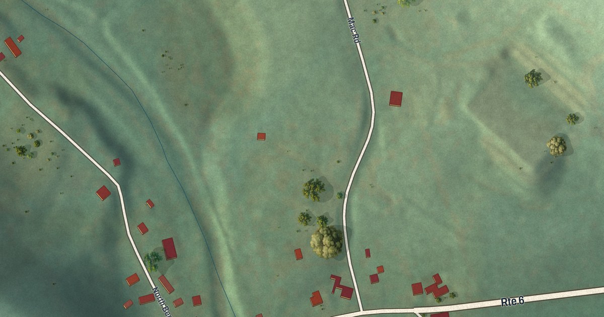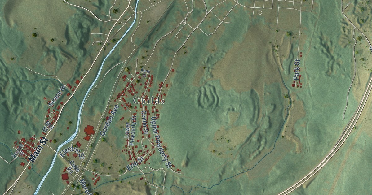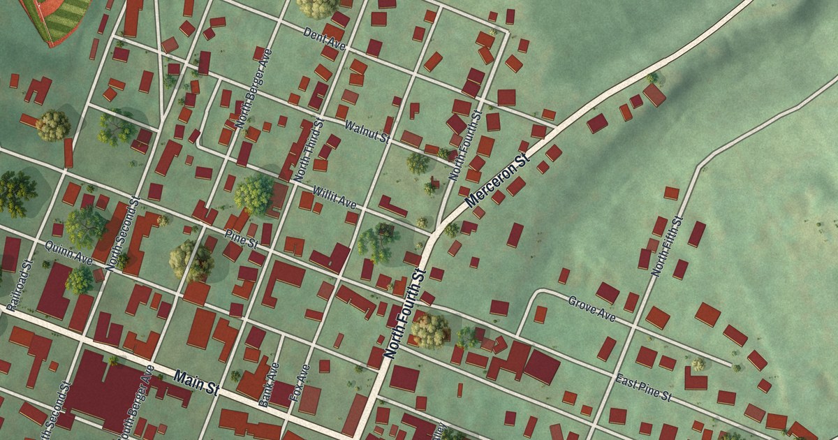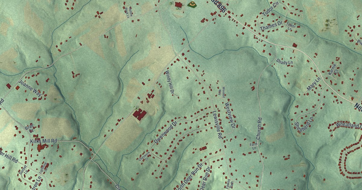
This beautifully detailed map of New London, Pennsylvania was created in 2026 using aerial imagery combined with modern topographical, census, street and landmark data. It’s a one-of-a-kind view of New London that combines accurate data with a vintage aesthetic. The map shows every building in its true location, many of the roads carry their names, and the shaded topographic relief shows the shape of the land.
Explore an aerial view of New London, Pennsylvania
On the map you’ll find New London Township Building, along with Newark Road, State Road 896, Chesterville Road, Church Road, North Deer Run Drive, Mount Hope Road, Kelton Pennock Bridge Road, Oxford Road, State Road, Lewisville Road, Thunder Hill Road, and more. If you look closely you can even find your house accurately drawn in its correct location. Zoom in on the preview to look for yours.
Did you know this piece of New London, Pennsylvania history?
New London Township was chartered in 1723. Thomas McKean, born here in 1734, was a lawyer and politician who became one of the nation’s Founding Fathers. One of its two covered bridges listed as historic places is the Rudolph and Arthur Covered Bridge.
Take a closer look at the New London map
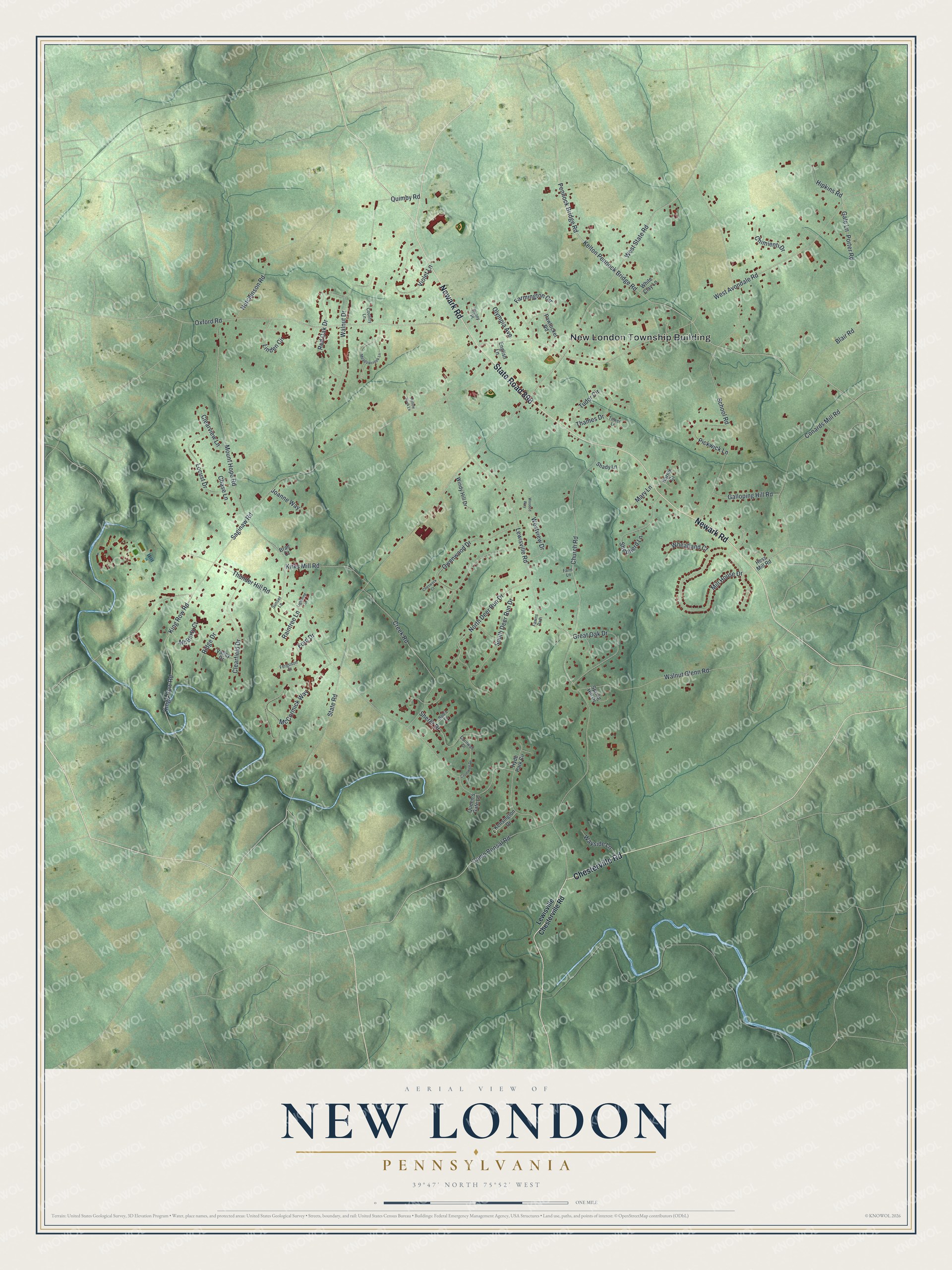
Street and place names on the New London, Pennsylvania map
These names are printed on the map of New London, Pennsylvania.
Places: New London Township Building.
Streets and roads: Newark Road, State Road 896, Chesterville Road, Church Road, North Deer Run Drive, Mount Hope Road, Kelton Pennock Bridge Road, Oxford Road, State Road, Lewisville Road, Thunder Hill Road, Saginaw Road.
More street names, A to Z
Blair Road, Bob's Lane, Brae Court, Camp Bonsal Road, Chase Lane, Cheswyck Court, Chimienti Drive, Clearfield Drive, Clearview Lane, Conards Mill Road, Cornwall Drive, Country Lane, Creek Road, Cromwell Drive, English Lane, Farmington Circle, Farm Lane, Fawns Path, Ferguson Street, Ford Drive, Gale Lane, Galloping Hill Road, Great Oak Drive, Hess Mill Road, Hipkins Road, Hollow Rock Lane, Hutchinson Road, Hyde Park Circle, Joanne Way, Karnik Court, Kensington Drive, King Row Road, Kings Row Road, Kirks Mill Road, Lewisville Chesterville Road, Lightning Lane, Linden Circle, Locust Drive, Mary Lane, McBerty Court, McCormick Way, Meadowcreek Lane, Mill House Drive, Olympia Avenue, Owenwood Drive, Pawtucket Road, Pennock Bridge Road, Pickwick Lane, Porter Road, Queen's Gate Lane, Quimby Road, Raintree Lane, Red Oak Drive, Ridge Drive, School Road, Shady Lane, Shepherd Lane, Sherer Drive, Sonny Place, South Deer Run Drive, Spring Hill Drive, Sunset Lane, Thames Drive, Tower Lane, Tudor Circle, Valley Drive, Violet Lane, Walnut Drive, Walnut Glenn Road, Wayside Lane, West Avondale Road, West State Road, Westview Drive, Wheatland Court, White Clay Lane, Windy Hill Drive, Wooded Way.
See the New London, Pennsylvania map on a wall
The New London map as an 18 x 24 inch print in a black frame.

This beautifully detailed map of New London makes an attractive addition to your office, library, or den, and it can even be used to teach children the geography and history of the area. It also makes a great gift for anyone who grew up in New London or moved away. When you’re done exploring, click here to get your copy of the New London map.