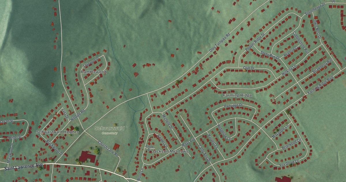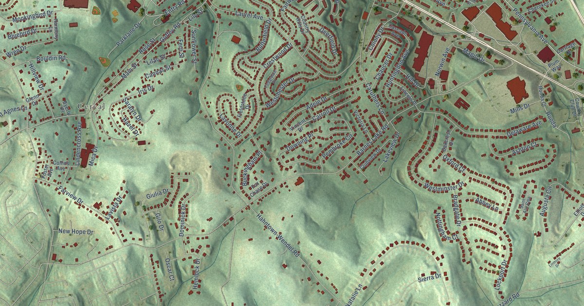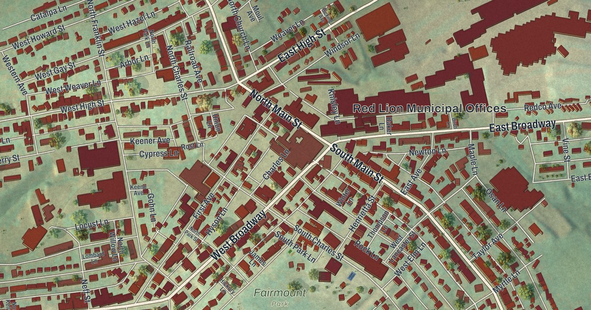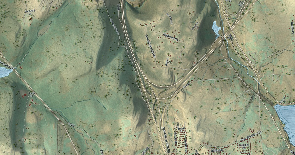
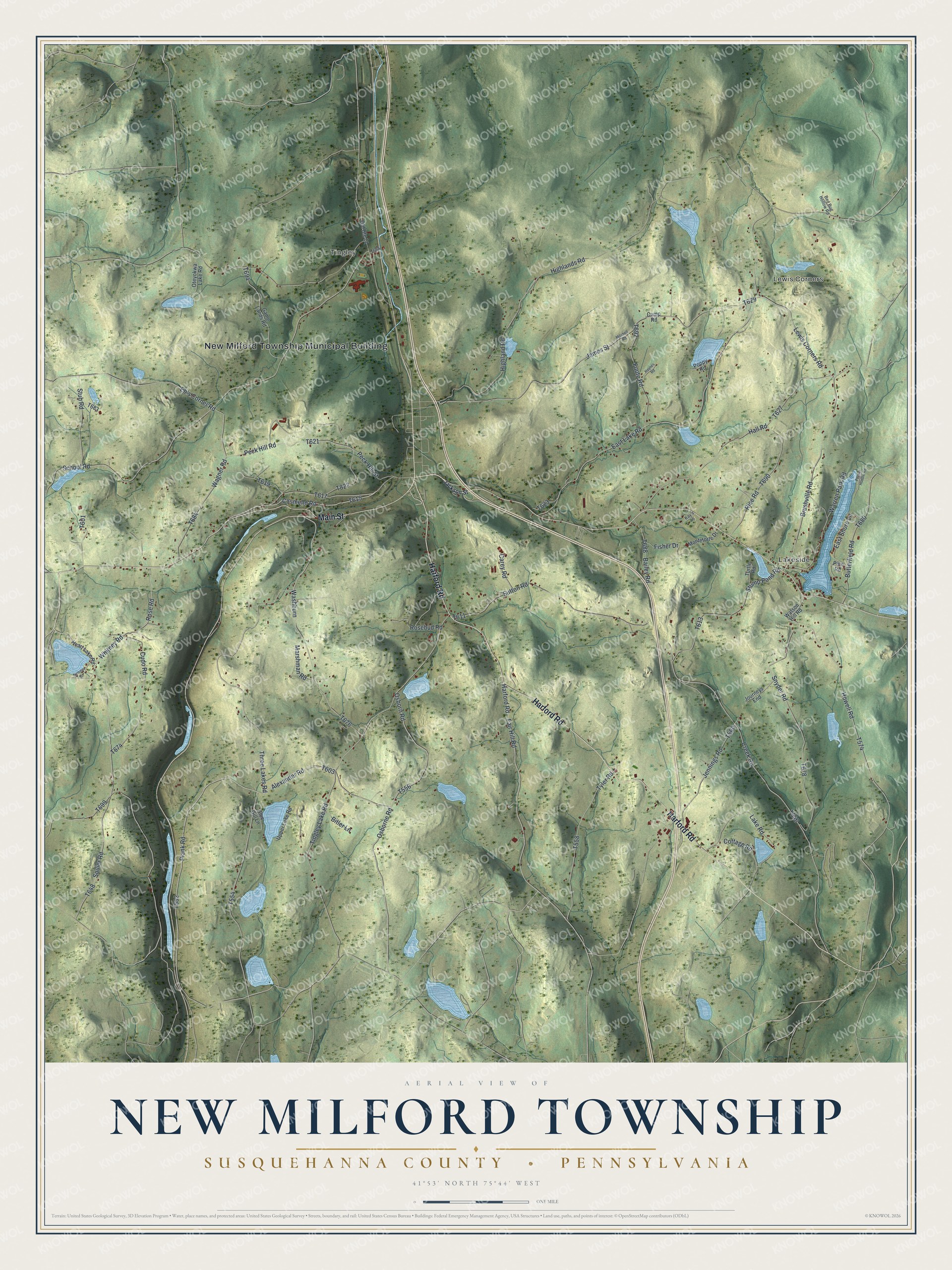
This beautifully detailed map of New Milford Township, Pennsylvania was created in 2026 using aerial imagery combined with modern topographical, census, street and landmark data. It’s a one-of-a-kind view of New Milford Township that combines accurate data with a vintage aesthetic. The map shows every building in its true location, many of the roads carry their names, and the shaded topographic relief shows the shape of the land.
Explore an aerial view of New Milford Township, Pennsylvania
On the map you’ll find New Milford Township Municipal Building, Lewis Corners, Lakeside, and Tingley, along with Harford Road, Main Street, Lower Montrose Street, Three Lakes Road, Plank Road, Warren Park Road, and more. If you look closely you can even find your house accurately drawn in its correct location. Zoom in on the preview to look for yours.
Did you know this piece of New Milford Township, Pennsylvania history?
In May 1794, David Summers brought his family to a hunter’s cabin at what became Summersville in New Milford Township. By 1801 he was keeping a hotel there. A few years later he built the area’s first grist-mill, so settlers no longer had to haul their grain to Binghamton. That’s from Rhamanthus Menville Stocker’s 1887 Centennial History of Susquehanna County, Pennsylvania.
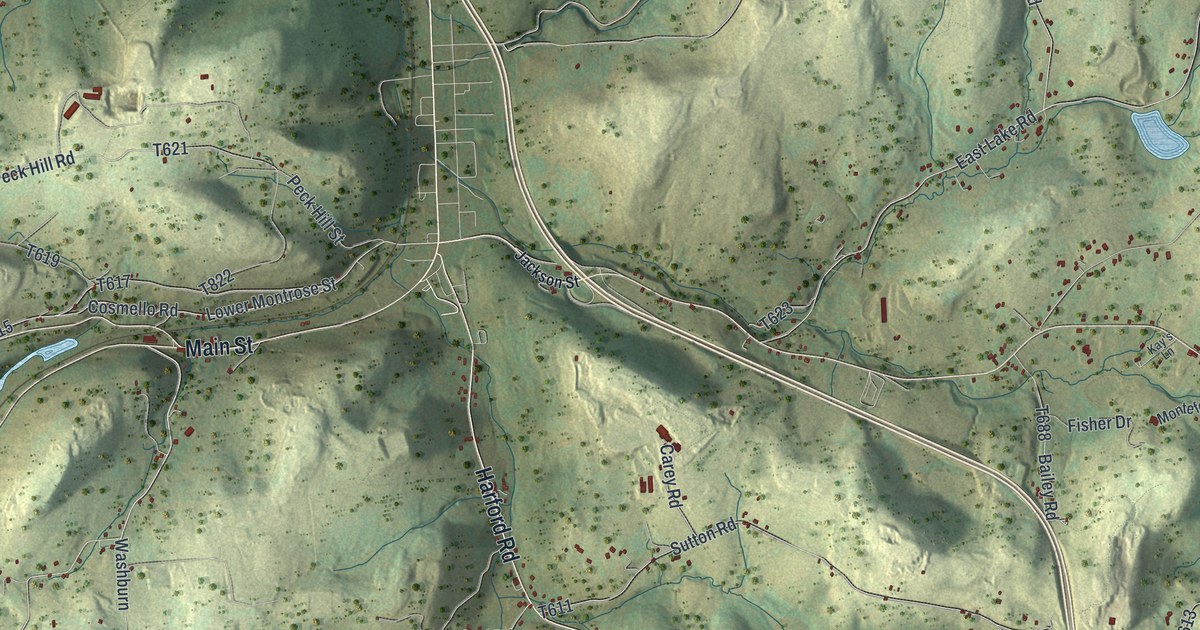
Take a closer look at the New Milford Township map
Street and place names on the New Milford Township, Pennsylvania map
These names are printed on the map of New Milford Township, Pennsylvania.
Places: New Milford Township Municipal Building, Lewis Corners, Lakeside and Tingley.
Streets and roads: Harford Road, Main Street, Three Lakes Road, Plank Road, Alexander Road, Warren Park Road, East Lake Road, Howell Road, Squier Road, Osborne Road, Fair Hill Road, Rose Road.
More street names, A to Z
Bailey Road, Bed Bug Hollow Road, Bitler Lane, Blue Gill Lane, Brushville Road, Butterfield Road, Camp Road, Carey Road, Cosmello Road, Cottage Road, Creek Road, Cudo Road, East Shore Lane, Eb's Corner Road, Fisher Drive, Foote Road, Game Lands Road, Hall Road, Haynes Road, Heart Lake Road, Highland Road, Highlands Road, Jackson Street, James Street, Jennings Road, Journeys End, Kay's Lane, Lake Road, Lewis Corners Road, Marshman Road, Mitchell Road, Monteforte Drive, Old Route 11, Osborn Road, Oteyokwa Lake Road, Peck Hill Road, Peck Hill Street, Pine Road, Poppy Road, Pucker Huddle Road, Rice Road, Rosebud Road, School Road, Snyder Road, Stub Road, Stump Pond Road, Summer Street, Sutton Road, Tingley Lake Road, Turtle Road, Tyler Road, Upper Lake Road, Wagner Road, Washburn, Watson Hill Road, Whitney Road.
See the New Milford Township, Pennsylvania map on a wall
The New Milford Township, Susquehanna County map as an 18 x 24 inch print in a black frame.

This beautifully detailed map of New Milford, Susquehanna County makes an attractive addition to your office, library, or den, and it can even be used to teach children the geography and history of the area. It also makes a great gift for anyone who grew up in New Milford Township or moved away. When you’re done exploring, click here to get your copy of the New Milford, Susquehanna County map.