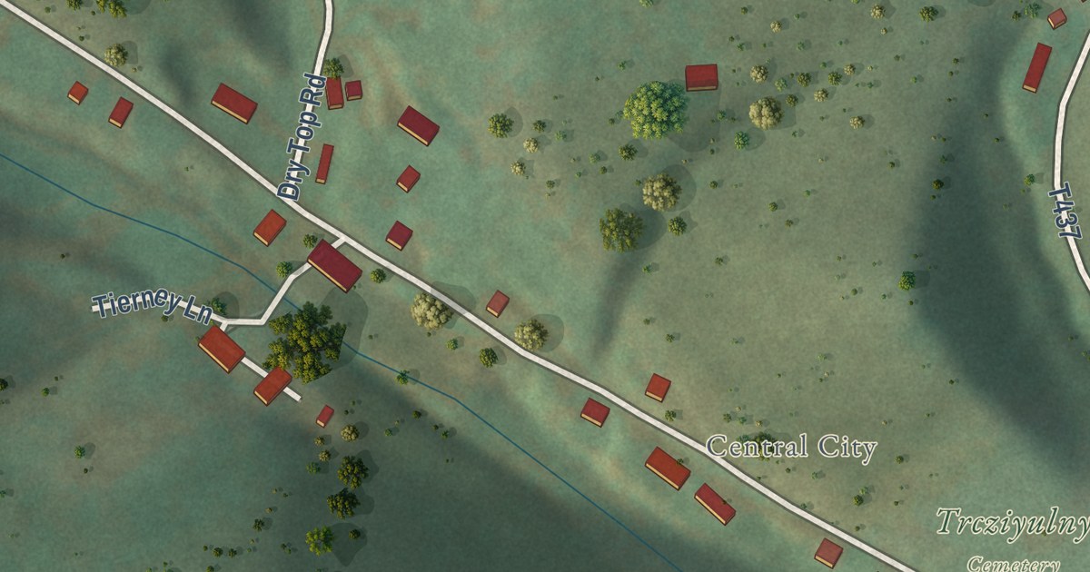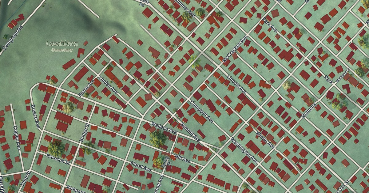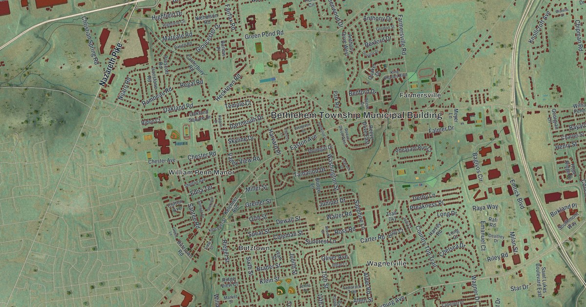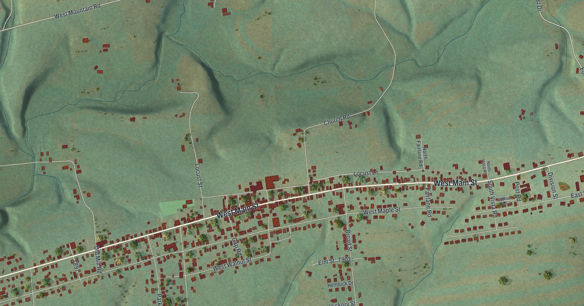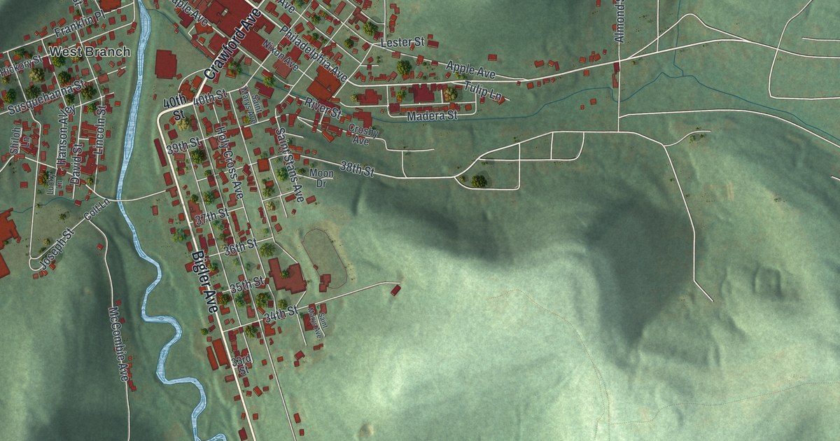
This beautifully detailed map of Northern Cambria, Pennsylvania was created in 2026 using aerial imagery combined with modern topographical, census, street and landmark data. It’s a one-of-a-kind view of Northern Cambria that combines accurate data with a vintage aesthetic. The map shows every building in its true location, many of the roads carry their names, and the shaded topographic relief shows the shape of the land.
Explore an aerial view of Northern Cambria, Pennsylvania
On the map you’ll find Spangler, North Barnesboro, Barnesboro, and West Branch, along with Crawford Avenue, Philadelphia Avenue, Bigler Avenue, 24th Street, Oak Avenue, 40th Street, Barr Avenue, Gray Avenue, and more. If you look closely you can even find your house accurately drawn in its correct location. Zoom in on the preview to look for yours.
Did you know this piece of Northern Cambria, Pennsylvania history?
Early loggers sent their timber downstream on the Susquehanna’s West Branch. Coal mining took over as the leading industry in the 1890s. Mining companies brought in skilled workers from Great Britain and Eastern Europe. New rail lines carried the coal out, and money poured into town. Coal began to fade in the 1980s.
Take a closer look at the Northern Cambria map
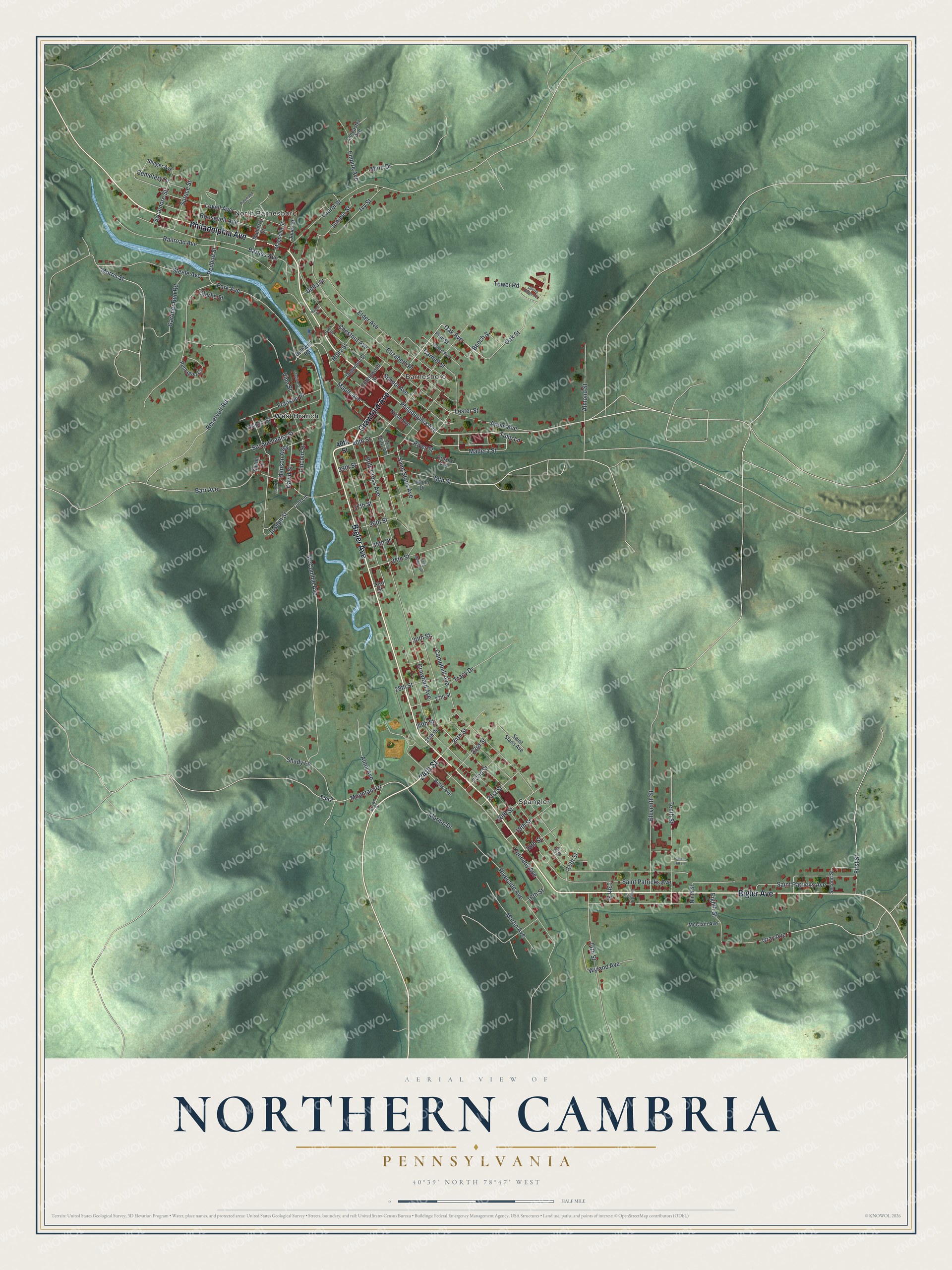
Street and place names on the Northern Cambria, Pennsylvania map
These names are printed on the map of Northern Cambria, Pennsylvania.
Places: Spangler, North Barnesboro, Barnesboro and West Branch.
Streets and roads: Crawford Avenue, Philadelphia Avenue, Bigler Avenue, 24th Street, Oak Avenue, 40th Street, Barr Avenue, Gray Avenue, Mountain Drive, Maple Avenue, Madera Street, Saint Patricks Avenue.
More street names, A to Z
13th Street, 14th Street, 15th Street, 16th Street, 17th Street, 18th Street, 19th Street, 20th Street, 21st Street, 22nd Street, 23rd Street, 25th Street, 26th Street, 27th Street, 28th Street, 30th Street, 33rd Street, 34th Street, 35th Street, 36th Street, 37th Street, 38th Street, 39th Street, Alma Avenue, Almond Street, Apple Avenue, Barnes Avenue, Beech Street, Bethwell Road, Betts Avenue, Brown Street, Campbell Avenue, Carmel Street, Cemetery Drive, Cherry Ridge Terrace, Chestnut Avenue, Clarke Street, Colt Lane, Cottonwood Street, Crosby Avenue, David Street, Delta Street, Dogwood Street, Eighth Street, Elder Avenue, Eleventh Street, Elizabeth Place, Empire Avenue, First Street, Franklin Place, Gardner Run Road, Gum Street, Hanson Alley, Hazel Street, Hickory Street, Holly Street, Holy Cross Avenue, Hubert Avenue, Ivy Street, Jones Street, Joseph Street, Juniper Street, Kennedy Avenue, Lancaster Avenue, Laurel Street, Lester Street, Lincoln Street, Lovell Avenue, Lucky Lane, Magnolia Street, Marino Drive, Martin Avenue, McClain Avenue, McCombie Avenue, Mino Drive, Moon Drive, Morris Street, Mulberry Street, Ninth Street, Nixon Avenue, Oak Street, Park Avenue, Pentagon Circle, Pine Street, Pinewood Lane, Railroad Avenue, Redbud Street, Reservoir Road, Riverside Avenue, River Street, Roosevelt Avenue, Saint Marys Avenue, Saint Stans Avenue, School Avenue, Second Street, Shady Lane, Shiloh Lane, Slinger Avenue, Spruce Street, Stadium Street, Steele Avenue, Susquehanna Street, Sycamore Street, Tenth Street, Tomallo Hill Lane, Tower Road, Tracy Drive, Tulip Lane, Twelfth Street, Vine Street, Wyland Avenue.
See the Northern Cambria, Pennsylvania map on a wall
The Northern Cambria map as an 18 x 24 inch print in a black frame.

This beautifully detailed map of Northern Cambria makes an attractive addition to your office, library, or den, and it can even be used to teach children the geography and history of the area. It also makes a great gift for anyone with Northern Cambria roots. When you’re done exploring, click here to get your copy of the Northern Cambria map.