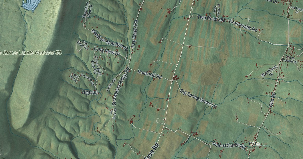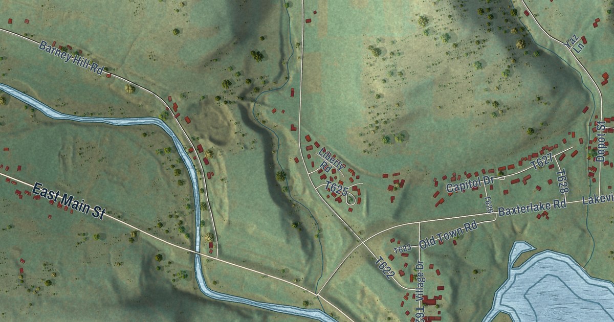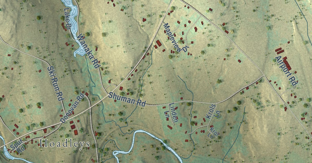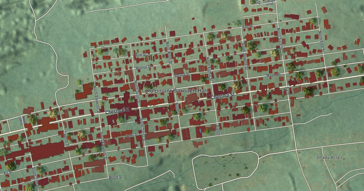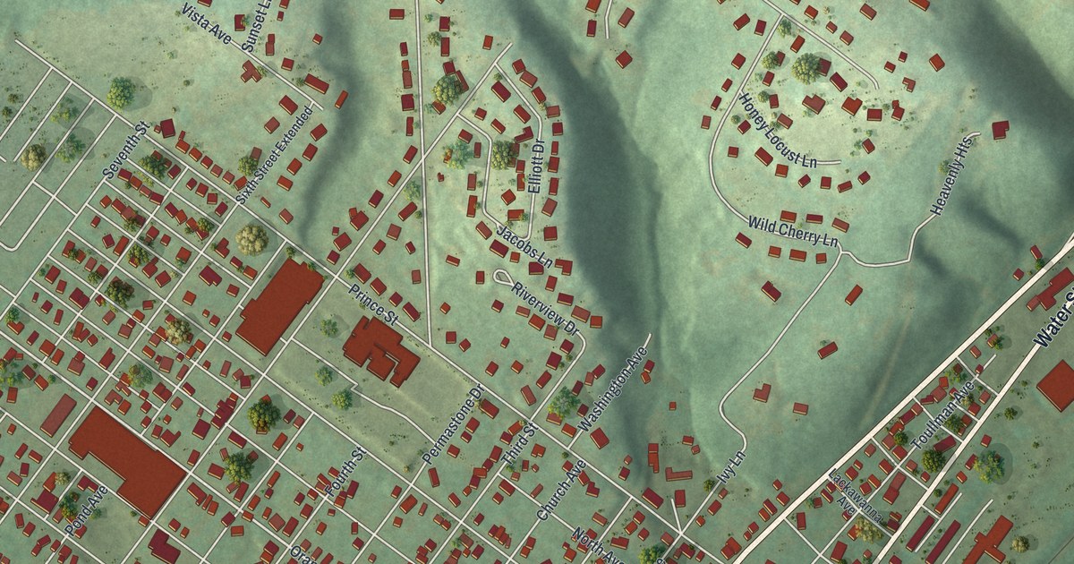
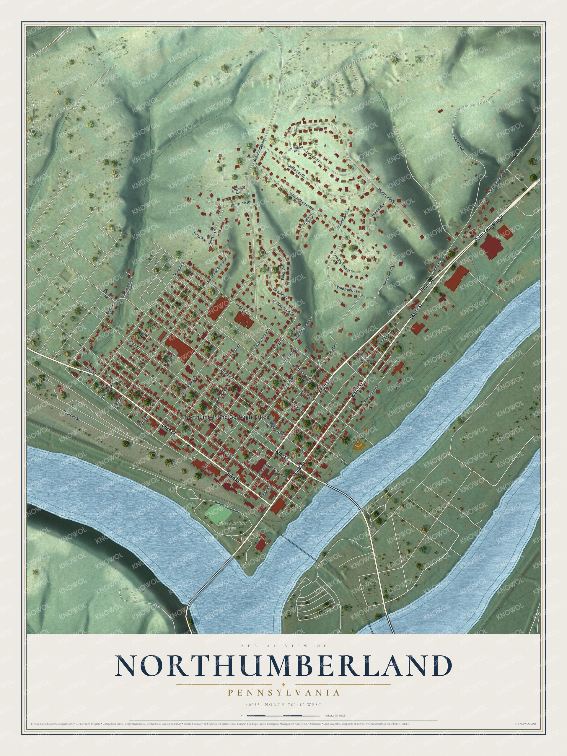
This beautifully detailed map of Northumberland, Pennsylvania was created in 2026 using aerial imagery combined with modern topographical, census, street and landmark data. It’s a one-of-a-kind view of Northumberland that combines accurate data with a vintage aesthetic. The map shows every building in its true location, many of the roads carry their names, and the shaded topographic relief shows the shape of the land.
Explore an aerial view of Northumberland, Pennsylvania
On the map you’ll find Northumberland Borough Office and Pine Knotter Park, along with Front Street, Point Township Drive, King Street, Water Street, Duke Street, Eighth Street, Orange Street, Hanover Street, Queen Street, Wheatley Avenue, and more. If you look closely you can even find your house accurately drawn in its correct location. Zoom in on the preview to look for yours.
Did you know this piece of Northumberland, Pennsylvania history?
Northumberland became the American home of Joseph Priestley, a co-discoverer of oxygen. He and his wife Mary fled religious persecution in Britain in 1794, and she planned their house here. His laboratory, finished in 1797, was its first completed part. In 1874, 77 chemists met at the house for what is now called the first National Chemistry Congress.
Take a closer look at the Northumberland map
Street and place names on the Northumberland, Pennsylvania map
These names are printed on the map of Northumberland, Pennsylvania.
Places: Northumberland Borough Office, Pine Knotter Park and Pineknotter Park.
Streets and roads: Front Street, Point Township Drive, King Street, Water Street, Duke Street, Eighth Street, Orange Street, Hanover Street, Queen Street, Wheatley Avenue, Sheetz Avenue, Fifth Street.
More street names, A to Z
Brick Yard Avenue, Buchanan Avenue, Cannery Road, Church Avenue, Depot Avenue, Elliott Drive, Empress Tree Lane, Fasold Road, Fourth Street, Heavenly Heights, Honey Locust Lane, Horizon Avenue, Ivy Lane, Jacobs Lane, Jefferson Street, Lackawanna Avenue, Leighow Avenue, Lincoln Street, Lower Orange Street, Madison Avenue, North Avenue, Old Danville Highway, Old Route 11, Orange Street Extended, Park Avenue, Permastone Drive, Pond Avenue, Priestley Avenue, Prince Street, Railroad Street, Reagan Circle, Riverview Drive, Ropewalk Avenue, Saw Mill Avenue, Second Street, Seventh Street, Sixth Street, Sixth Street Extended, Strawbridge Road, Sunset Lane, Susquehanna Road, Third Street, Toullman Avenue, Vista Avenue, Wallace Street, Washington Avenue, Westway, Wild Cherry Lane, Woodrow Avenue.
See the Northumberland, Pennsylvania map on a wall
The Northumberland map as an 18 x 24 inch print in a black frame.

This beautifully detailed map of Northumberland makes an attractive addition to your office, library, or den, and it can even be used to teach children the geography and history of the area. It also makes a great gift for anyone who grew up in Northumberland or moved away. When you’re done exploring, click here to get your copy of the Northumberland map.