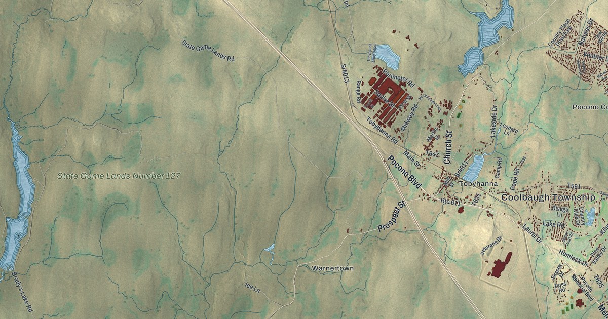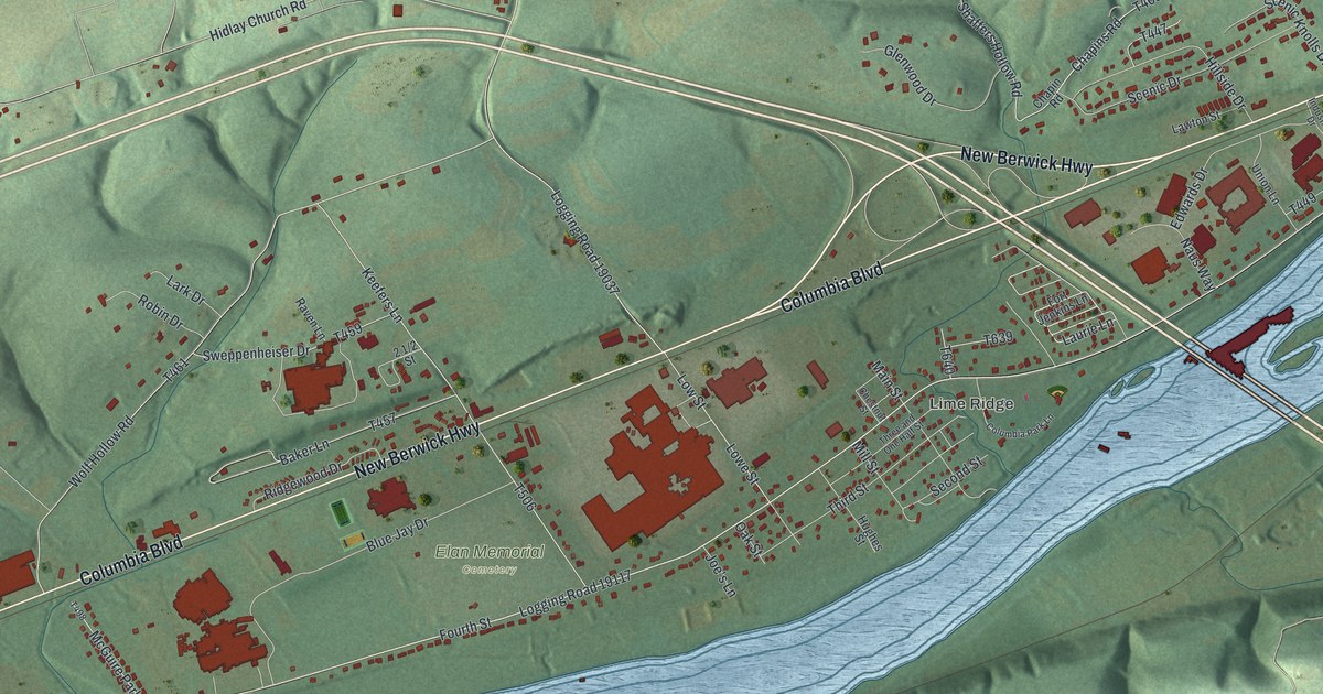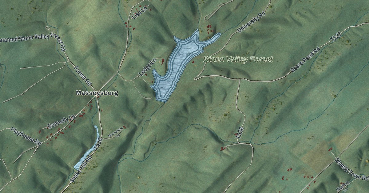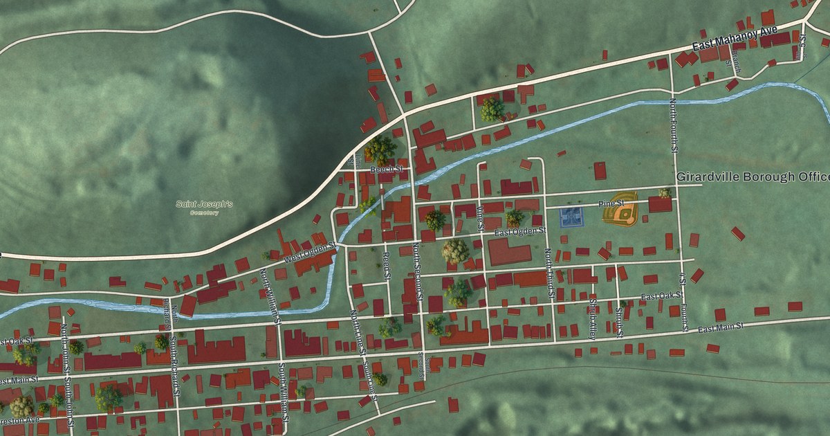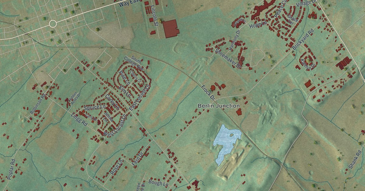
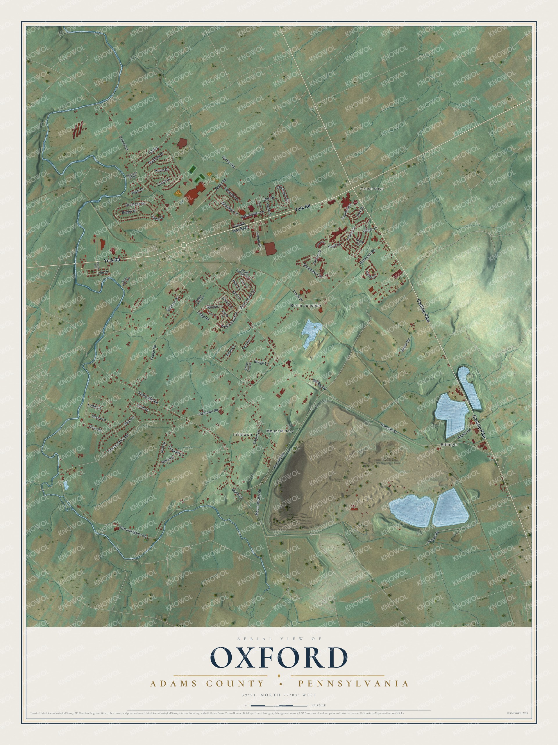
This beautifully detailed map of Oxford, Adams County, Pennsylvania was created in 2026 using aerial imagery combined with modern topographical, census, street and landmark data. It's a modern aerial view of Oxford, Adams County in Adams County, Pennsylvania, that combines modern data with a vintage aesthetic. The roads feature printed names, and if you look closely you can find your exact house accurately shown in its correct location.
Explore an aerial view of Oxford, Adams County, Pennsylvania
On this map you'll find Bittinger, Cross Keys, Irishtown, Berlin Junction, Mount Misery, York Road, Carlisle Pike, Poplar Road, East Locust Lane, Hanover Street, Red Hill Road, Irishtown Road, and more. Each red shape is a building, so zoom in on the preview and look for yours.
Every town has a first chapter, and Oxford, Adams County is no exception. The Pennsylvania Historical and Museum Commission puts it this way: "Four miles south of New Oxford. Original Jesuit chapel built 1787 still in use and one of oldest in the United States. The mission was founded 1730. First Sacred Heart church in Pennsylvania."
Oxford, Adams County is a place in Adams County. The Census Bureau counted 5,936 people here in 2020.
Take a closer look at the Oxford, Adams County map
Names on this map
These names are printed on this map.
Places: Bittinger, Cross Keys, Irishtown, Berlin Junction and Mount Misery.
Streets and roads: York Road, Carlisle Pike, Poplar Road, East Locust Lane, Hanover Street, Red Hill Road, Irishtown Road, Kohler Mill Road, Brickyard Road, Storms Store Road, Mount Misery Road, Lingg Road.
More street names, A to Z
700 Road, Adams Avenue, Appler Road, Becker Road, Berlin Road, Billerbeck Street, Black Lane, Bough Lane, Bugler Drive, Carly Drive, Cherry Court, Chinkapin Drive, Corey Lane, Coventry Court, Curtis Drive, Daniel Lane, Drummer Drive, East Golden Lane, Elm Lane, Emerald Lane, Erin Court, Fern Drive, Fiddler Drive, Fish and Game Road, Fleshman Mill Road, Frock Drive, Garber Road, Grace Terrace, Green Tree Drive, Groft Drive, Hampshire Drive, Harmony Drive, Hidden Acres Drive, Hope Lane, Irish Drive, Jacobs Road, Jenna Lane, Katelyn Drive, Kevin Drive, Lincoln Street, Lincoln Way East, Lottie Lane, Matthew Drive, Oak Drive, Onyx Road, Oxford Drive, Oxford Road, Peace Circle, Pine Lane, Piper Drive, Reba Drive, Robinson Road, Rose Lane, Rowland Boulevard, Shamrock Lane, Shank Road, Sherry Lane, Shoemaker Drive, South College Avenue, Spruce Lane, Village Drive, Walker Drive, Water Works Road, West Locust Lane, York Drive.
Created by KNOWOL in 2026. The buildings are small red shapes, the roads carry their printed names, and shaded relief shows the shape of the land. The title panel reads "AERIAL VIEW OF OXFORD ADAMS COUNTY • PENNSYLVANIA" with 3, 9, °, 5, 1, ', , N, O, R, T, H, , 7, 7, °, 0, 3, ', , W, E, S, T.
Hang it in the hallway, the office or the cabin, or give it to someone who left Oxford, Adams County and still calls it home. Open the preview and look for a street you know. See sizes and frames for the Oxford, Adams County map.