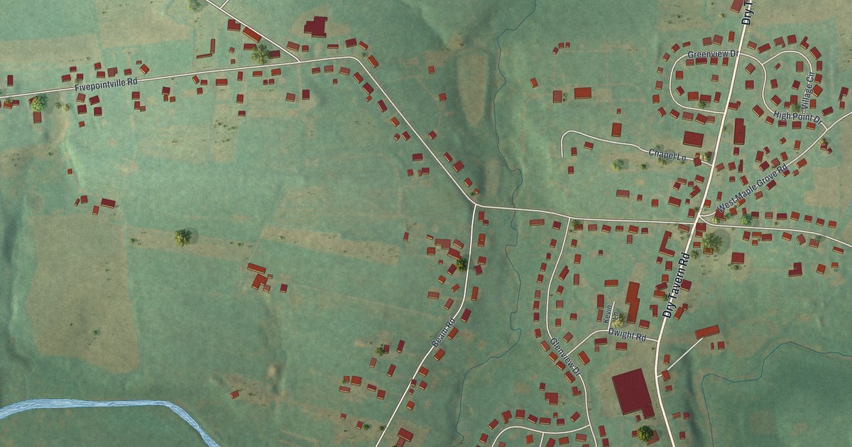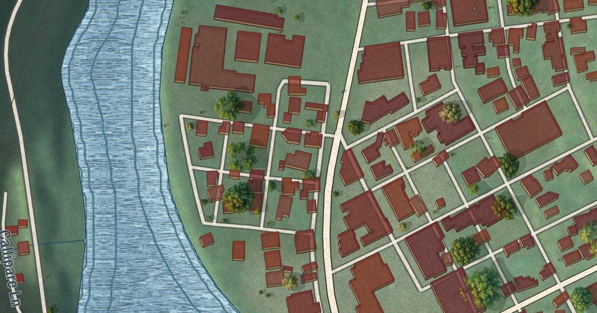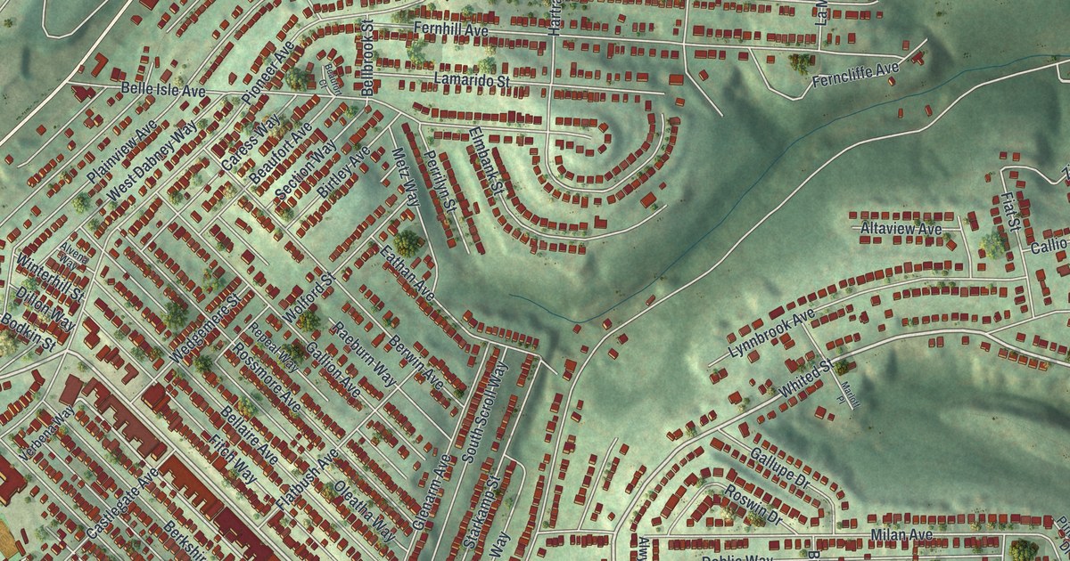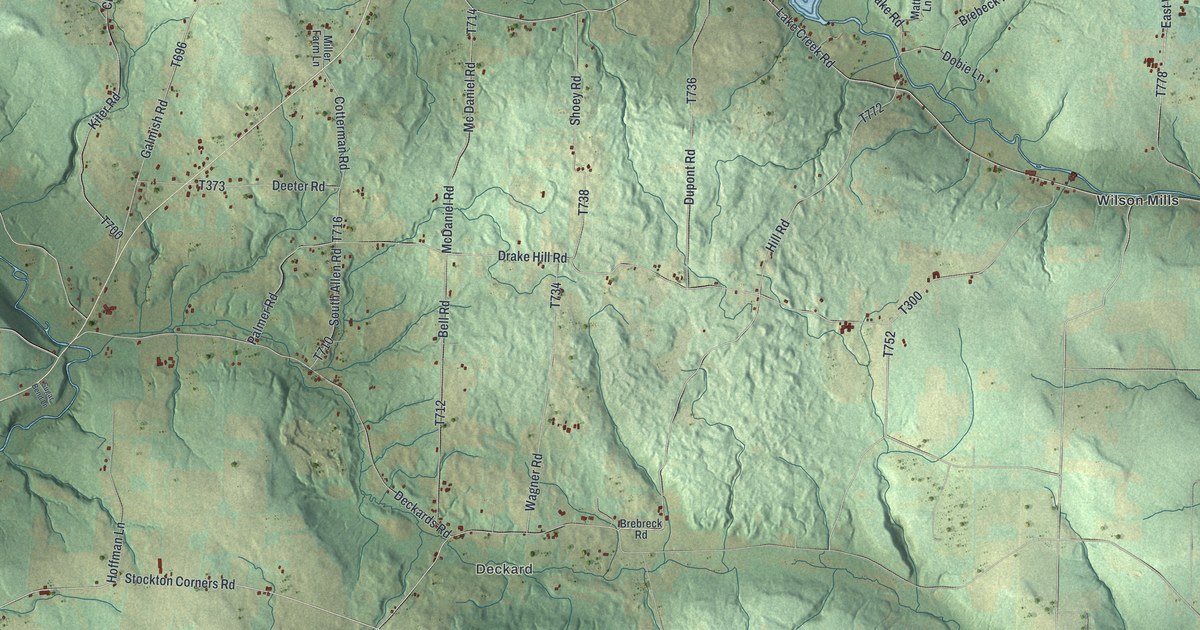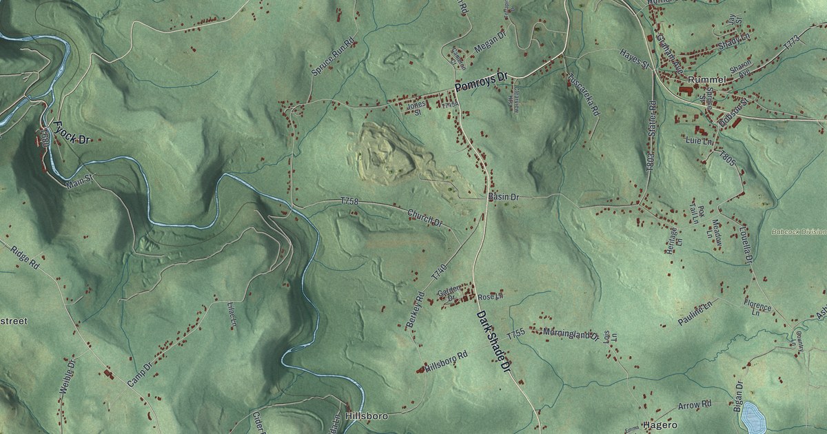
This beautifully detailed map of Paint Township, Somerset County, Pennsylvania was created in 2026 using aerial imagery combined with modern topographical, census, street and landmark data. It’s a one-of-a-kind view of Paint Township that combines accurate data with a vintage aesthetic. The map shows every building in its true location, many of the roads carry their names, and the shaded topographic relief shows the shape of the land.
Explore an aerial view of Paint Township, Somerset County, Pennsylvania
On the map you’ll find Babcock Division, Hagero, Hillsboro, Landstreet, and Rummel, along with Pomroys Drive, Dark Shade Drive, Clear Shade Drive, Whistler Road, Fyock Drive, Horn Road, Ridge Road, and more. If you look closely you can even find your house accurately drawn in its correct location. Zoom in on the preview to look for yours.
Did you know this piece of Paint Township, Somerset County, Pennsylvania history?
Paint Township was split from Shade Township after petitions that began as early as 1828. Jacob Berkeybile opened its first store in 1848 at Hillsboro, near Shade Furnace. The township lived by farming until 1895. After 1898 it became the center of some of the largest coal mining operations in Pennsylvania. That’s from the 1906 History of Bedford and Somerset Counties.
Take a closer look at the Paint Township, Somerset County map
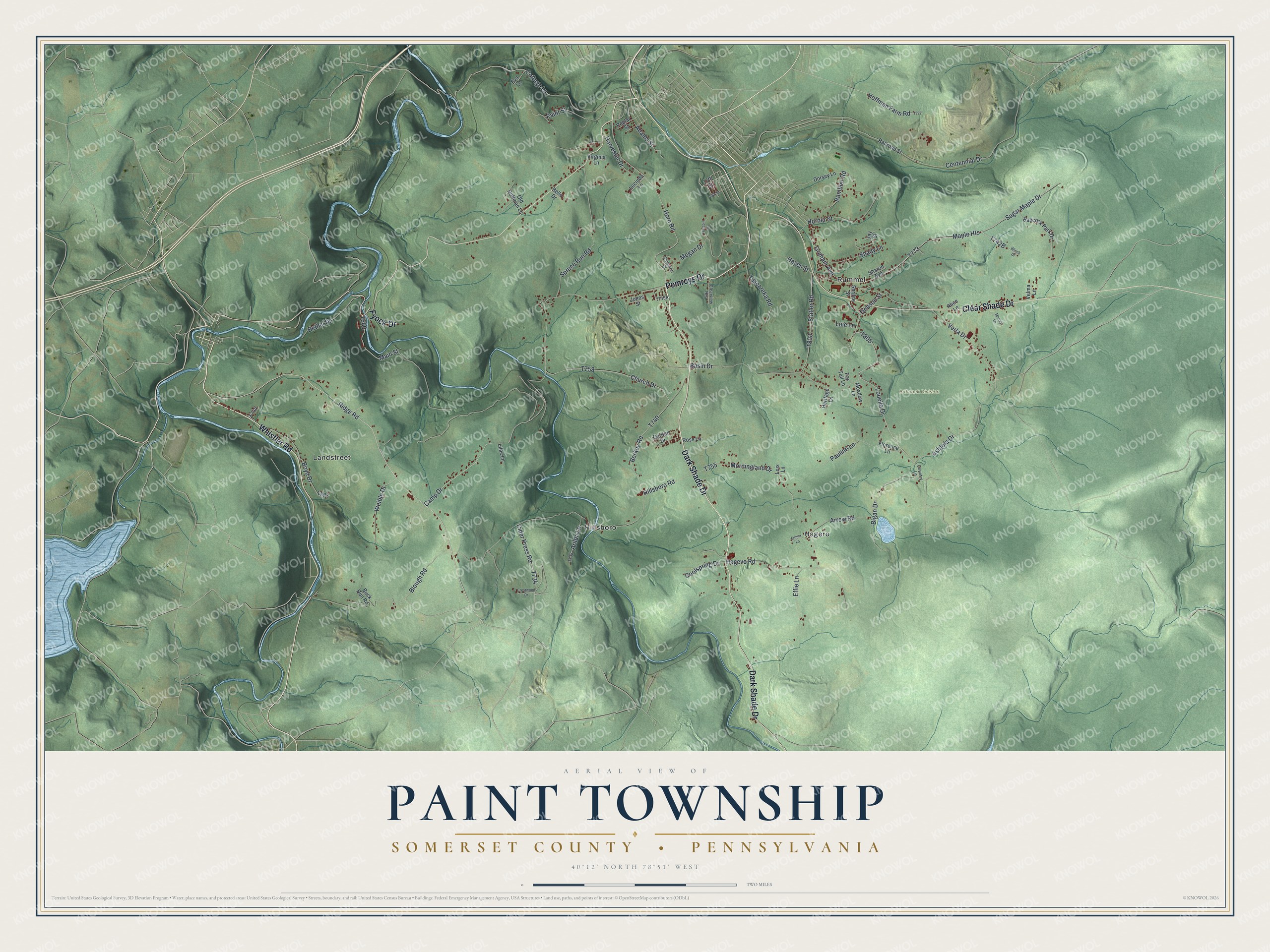
Street and place names on the Paint Township, Somerset County, Pennsylvania map
These names are printed on the map of Paint Township, Somerset County, Pennsylvania.
Places: Babcock Division, Hagero, Hillsboro, Landstreet and Rummel.
Streets and roads: Pomroys Drive, Dark Shade Drive, Clear Shade Drive, Whistler Road, Fyock Drive, Horn Road, Ridge Road, Camp Drive, Graham Avenue, Louella Drive, Verla Drive, Blough Road.
More street names, A to Z
17th Street, 19th Street, Adams Street, Alice Lane, Arilda Lane, Arrow Road, Ashtola Drive, Babcock Park Drive, Basin Drive, Bello Drive, Berkey Road, Bethel Drive, Bigan Drive, Boyd Drive, Buck Run Road, Cameron Court, Centennial Drive, Church Drive, Cider Press Road, Clearview Heights, Coolspring Drive, Cottage Lane, Country Lane, Crestwood Drive, Dobson Street, Dorsey Lane, Effie Lane, Emma Lane, Eva Lane, Florence Lane, Fox Tail Lane, Garden Drive, Hagevo Road, Harvester Drive, Hayes Street, Heritage Lane, Hillsboro Road, Hoffman Farm Road, Horner Street, Jay Street, Jones Street, Lilac Lane, Lois Lane, Lucinda Lane, Luie Lane, Main Street, Maple Heights, Meadow Lane, Megan Drive, Morningland Drive, Morrey Lane, Old Hoffman Lane, Paint Street, Pauline Lane, Poplar Street, Railroad Street, Rambler Road, Rose Lane, Shady Lane, Sharon Avenue, Spruce Run Road, Spruce Street, Statler Road, Sugar Maple Drive, Terrapin Drive, Tuscareka Road, Velma Lane, Virginia Lane, Weible Drive, Wirick Drive.
See the Paint Township, Somerset County, Pennsylvania map on a wall
The Paint Township, Somerset County map as an 18 x 24 inch print in a black frame.

This beautifully detailed map of Paint, Somerset County makes an attractive addition to your office, library, or den, and it can even be used to teach children the geography and history of the area. It also makes a great gift for someone who left Paint Township and still calls it home. When you’re done exploring, click here to get your copy of the Paint, Somerset County map.