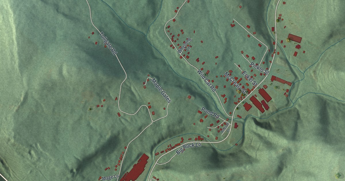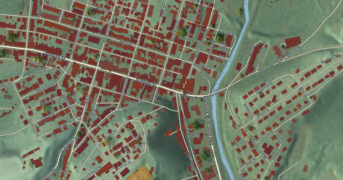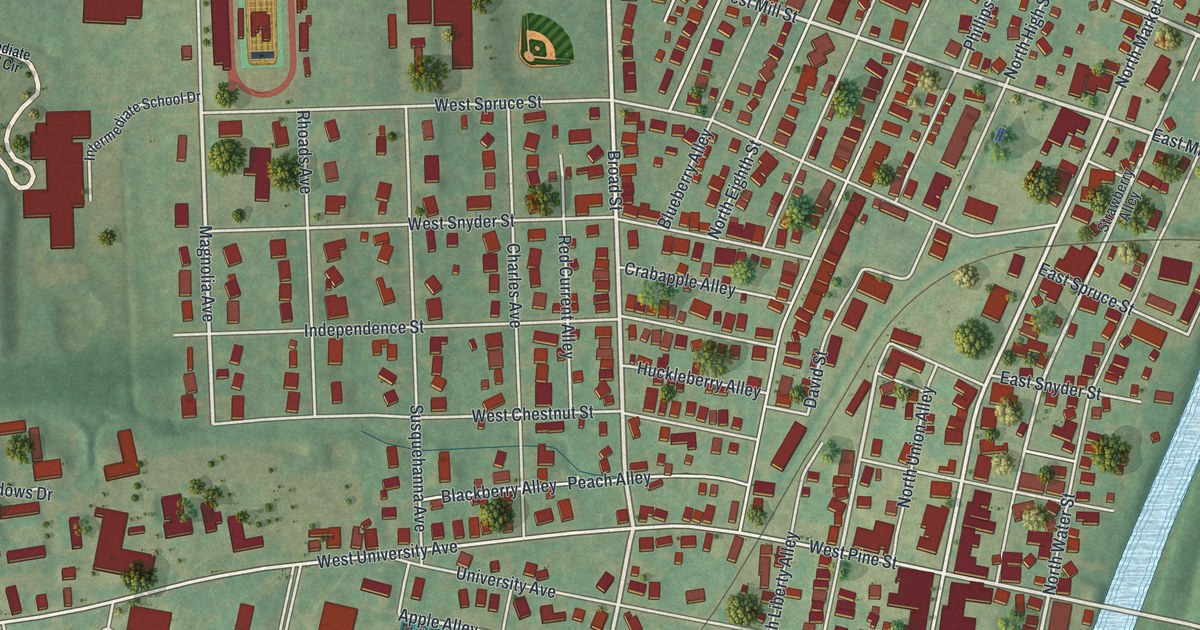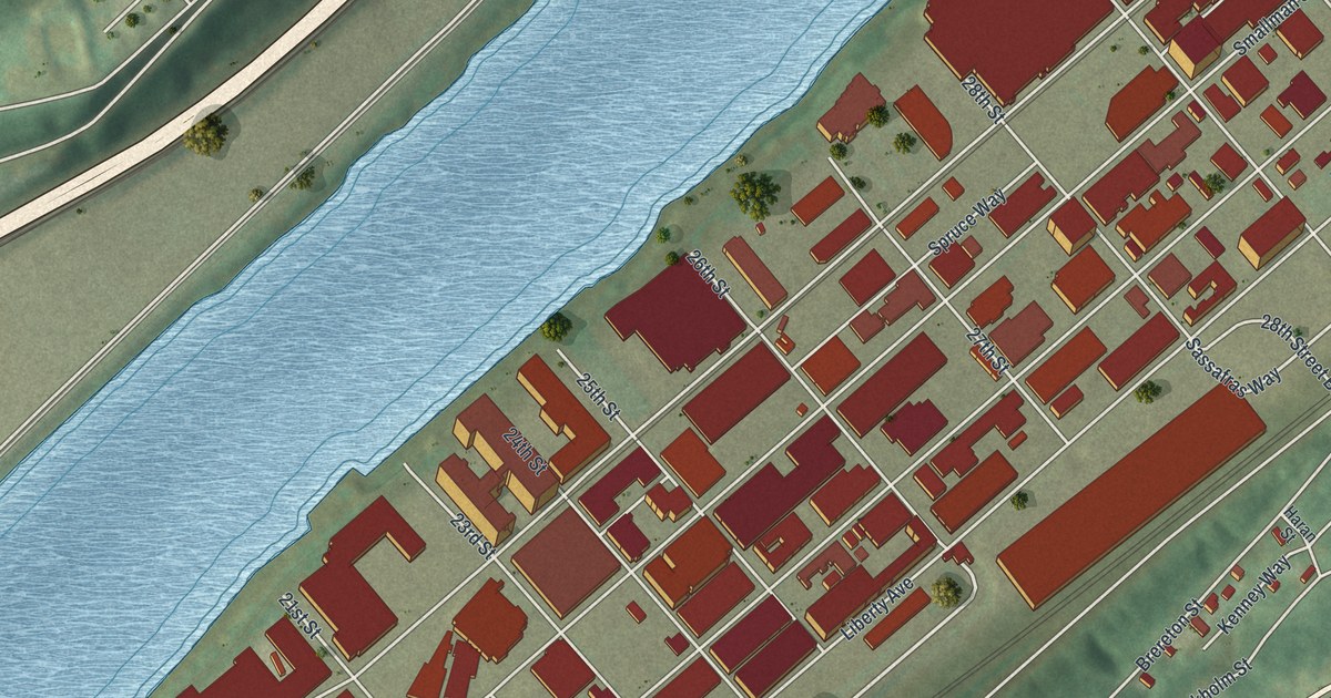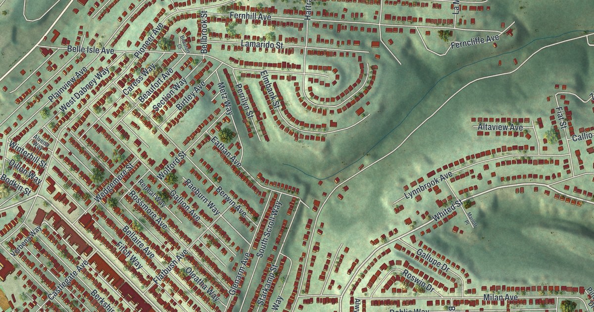
If you grew up off Brookline Boulevard, or played ball at Brookline Memorial Park, this map was made with you in mind. It's a new aerial view of Brookline in Allegheny County, Pennsylvania, built from modern data and given a vintage look. You'll see long, tight rows of red rooftops on green, shaded hills. West Liberty Avenue curves along the top and left edges. Saw Mill Run Boulevard follows the valley on the right.
Brookline Boulevard and the Streets Around It
On this map you'll find Brookline Boulevard, West Liberty Avenue, Saw Mill Run Boulevard, Pioneer Avenue, Edgebrook Avenue, Creedmoor Avenue, Berkshire Avenue, Woodbourne Avenue, Bellaire Avenue, McNeilly Road, Brookline Memorial Park, Moore Park, Moore Greenway, Edgebrook, and more. Each red shape is a building, so zoom in on the preview and look for yours.
The hill shading shows how Brookline sits on high ground. Deep green valleys wrap around it on both sides. In the middle, the homes stand close together in long, straight rows. Near the top, Northcrest Drive and Southcrest Drive bend in tight loops to fit the slope. Look closely and you'll find more than 11,000 buildings on this sheet.
Brookline Memorial Park and Moore Park
Two parks open up the rows of homes. Brookline Memorial Park sits on the right side, and you can pick out its ball diamonds from above. Moore Park is near the top, with a bright green field beside it. The Moore Greenway spreads across the wooded slope to its right.
Pittsburgh's Marker: Laid Out in 1764, a City in 1816
The state marker for Pittsburgh says Gen. Forbes named it for William Pitt after the fall of French Fort Duquesne in 1758, that John Campbell laid it out as a town in 1764, and that it was incorporated as a city in 1816. The marker calls it the "Gateway to the West and steel center of the world." West Liberty Avenue and the South Busway are both printed on the map.
Brookline on Your Wall
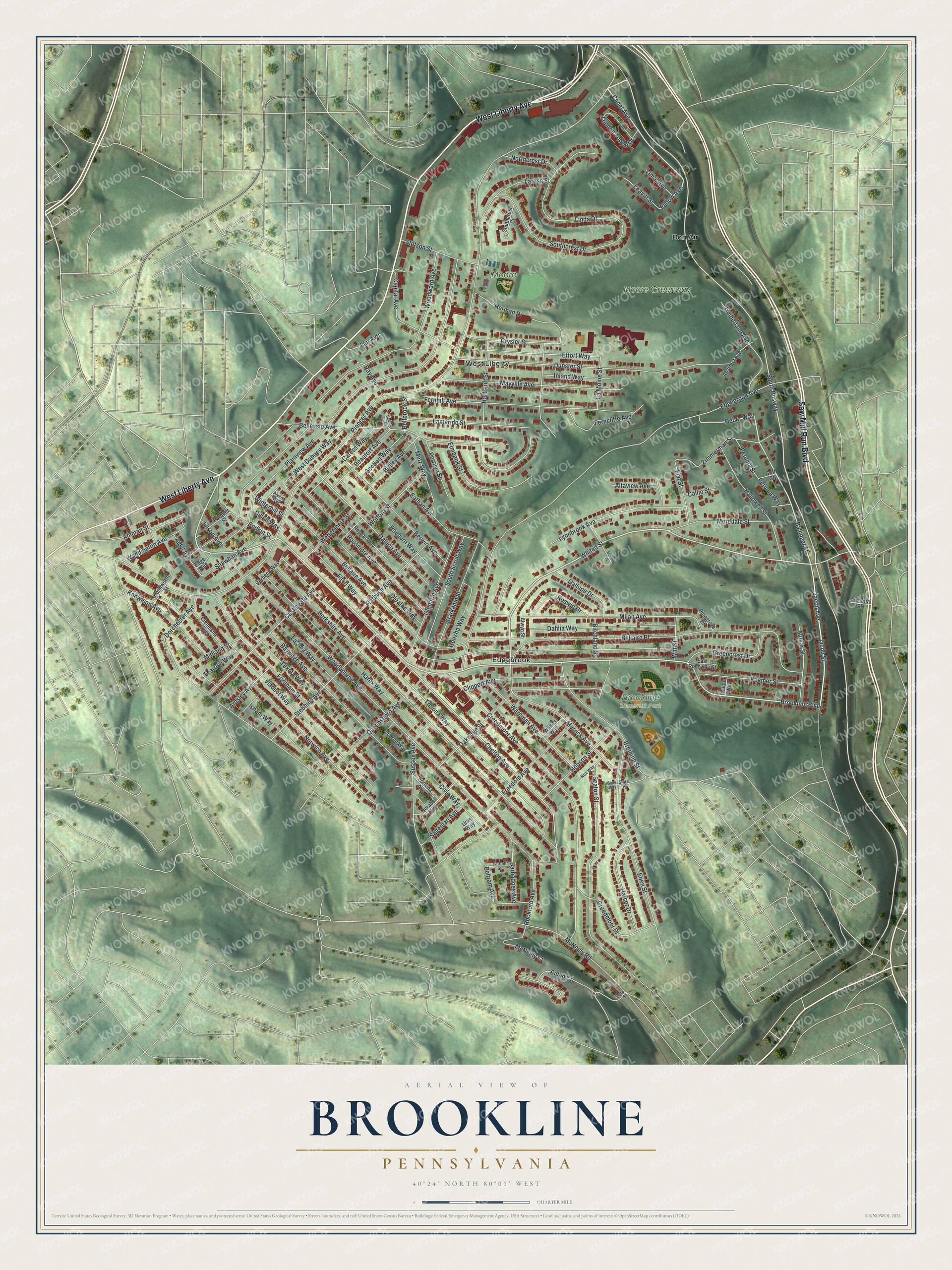
Created by KNOWOL in 2026, the print shows Brookline from above in soft greens, with shaded hills and the buildings in deep red. The title panel reads "Aerial View of Brookline, Pennsylvania" with the coordinates 40°24' North 80°01' West.
It fits a living room, a hallway or a home office. It's a good gift for someone who played at Brookline Memorial Park, or for family who moved away from Brookline Boulevard. Open the preview and find your street. See sizes and frames for the Brookline map.