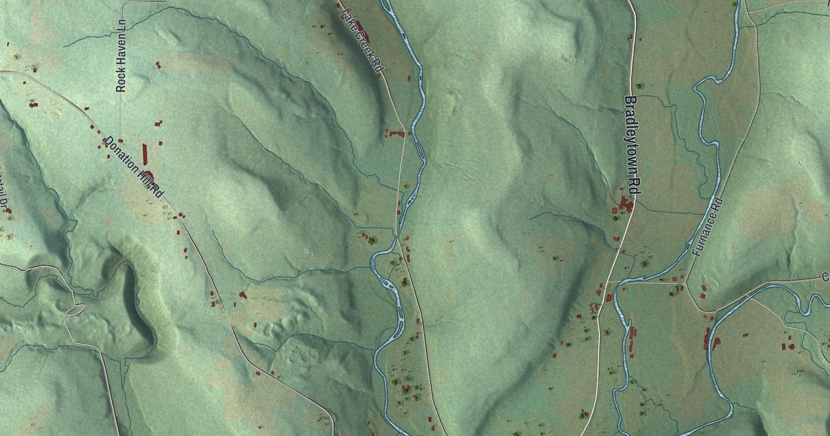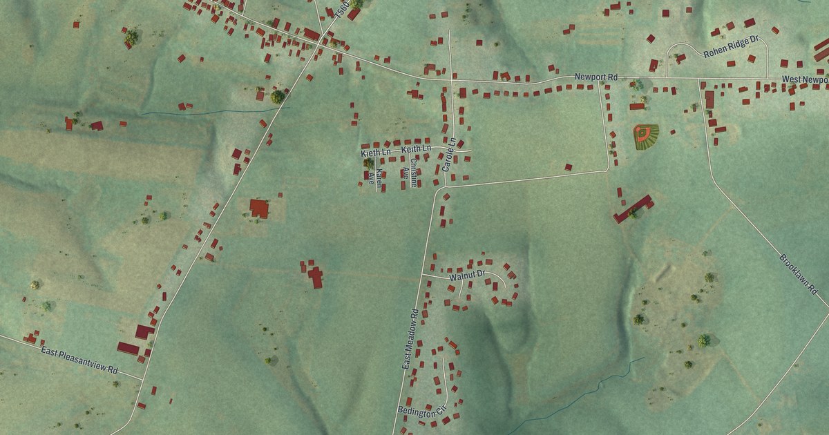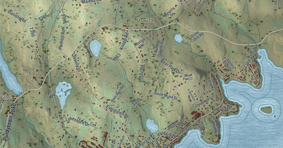
This beautifully detailed map of Paupack, Pennsylvania was created in 2026 using aerial imagery combined with modern topographical, census, street and landmark data. It’s a one-of-a-kind view of Paupack that combines accurate data with a vintage aesthetic. The map shows every building in its true location, many of the roads carry their names, and the shaded topographic relief shows the shape of the land.
Explore an aerial view of Paupack, Pennsylvania
On the map you’ll find Wangaum, Wallenpaupack Lake Estates, Lakeville, Uswick, and Lacawac Sanctuary, along with Purdytown Turnpike, West Shore Drive, Balanovich Road, Goose Pond Road, Forest Drive, Acacia Drive, and more. If you look closely you can even find your house accurately drawn in its correct location. Zoom in on the preview to look for yours.
Did you know this piece of Paupack, Pennsylvania history?
From the 1886 History of Wayne, Pike, and Monroe Counties, Pennsylvania: "Before the French and Indian War a man named Carter had settled at Wallenpaupack, and though he and his family were murdered and his house was burned, his place of settlement always remained a post on the route from Connecticut to Wyoming."
Take a closer look at the Paupack map
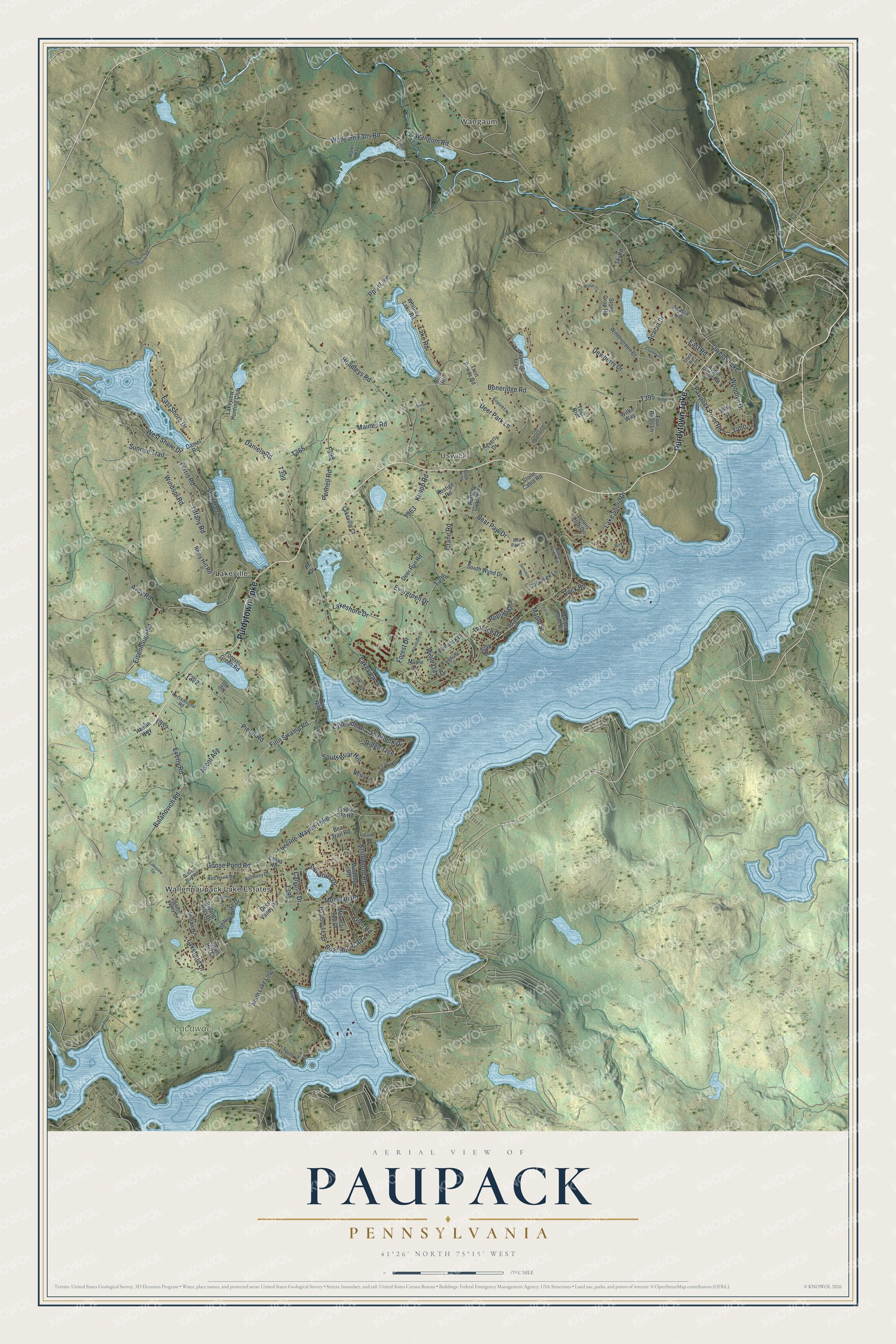
Street and place names on the Paupack, Pennsylvania map
These names are printed on the map of Paupack, Pennsylvania.
Places: Wangaum, Wallenpaupack Lake Estates, Lakeville, Uswick and Lacawac Sanctuary.
Streets and roads: Purdytown Turnpike, West Shore Drive, Balanovich Road, Goose Pond Road, Forest Drive, Acacia Drive, Rock Road, Owego Turnpike, Finn Swamp Road, Lake Shore Drive, Hoadleys Road, Boneridge Road.
More street names, A to Z
Acacia Road, Airport Lane, Aquarius Drive, Ascot Avenue, Aspin Ridge Road, Avoy Road, Bear Paw Court, Bear Paw Drive, Bear Trail Road, Beaver Lake Drive, Berry Hill Road, Berry Lane, Beverly Drive, Birch Lane, Bluff Road, Boat House Road, Boathouse Road, Bone Ridge Road, Boulder Point Road, Brook Acres, Calypso Drive, Cherokee Lane, Clubhouse Court, Cove Heights Lane, Cove Point Circle, Crane Road, Daniel Road, Daniels Road, Deer Park Lane, Deer Run Road, Deer Valley Road, Dewberry Drive, East Lakeside Drive, East Road, East Shore Drive, Eisenhauer Road, Elm Street, Eskra Road, Evergreen Drive, Everly Road, Fawn Hill Court, Ferris Road, Florence Trail, Forest Drive North, Forever Green Road, Four Pines Lane, Glen Road, Goose Bud Road, Goose Pd Road, Hamlin Highway, Harmony Drive, Hemlock Drive, Hidden Valley Court, Highland Drive, Hill Road, Indian Drive, Joan Drive, Knapp Road, Knollwood Road, Kostige Road, Kuhn Lane, Lake Drive, Lakeland Drive, Lake Road, Lakeshore Drive, Lakeside Drive, Lakeview Drive, Lakeview Hunting Club, Lakeview Terrace, Lakeville Court, Lurie Lane, Luzerne-Wayne Turnpike, Maines Road, Maple Drive, Maple Street, Marks Way, Mohican Road, Mountain Top Drive, Mustang Road, North Briar Hill, North Lake Loop, Oak Hill, Oak Mountain Drive, Oak Street, Oak Terrace, Old Gravity RR, Overlook Drive, Paupack Point Road, Pear Street, Pennell Road, Piefer Road, Poplar Street, Pp&l Line, Pr Drive, Recreational Road, Red Hawk Drive, Ridge Trce, Rolling Hills Drive, Ruffed Grouse Road, Seminole Drive, Sheps Court, Sheridan Road, Sixth Street, Ski Road, South Briar Hill, South Shore Drive, South Wynd Drive, Stone Cabin Road, Stone Crop Road, Sunrise Trail, Tennis Club Circle, Terrace Drive, Third Road, Tiffany Road, Twin Ponds Road, Wangum Falls Road, Wangum Road, Weller Court, White Oak Drive, Whitney Lake Road, Windsor Road, Wintergreen Court, Witko Way, Woodland Drive, Woodlyn Drive, Yogi Boulevard.
See the Paupack, Pennsylvania map on a wall
The Paupack map as an 18 x 24 inch print in a black frame.

This beautifully detailed map of Paupack makes an attractive addition to your office, library, or den, and it can even be used to teach children the geography and history of the area. It also makes a great gift for someone who left Paupack and still calls it home. When you’re done exploring, click here to get your copy of the Paupack map.