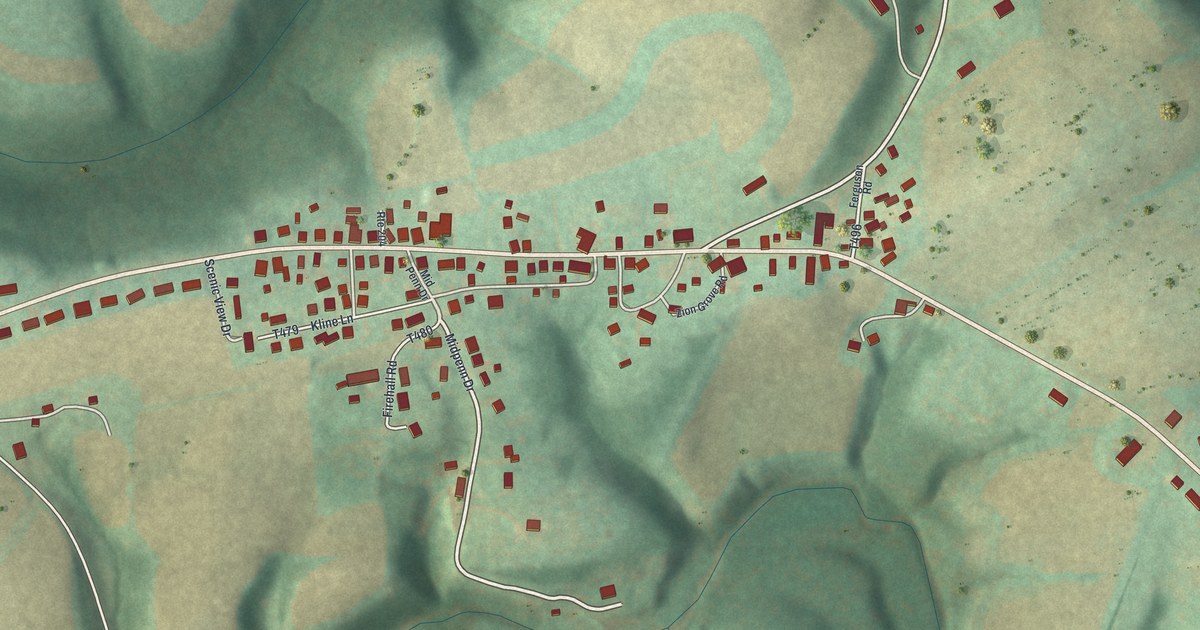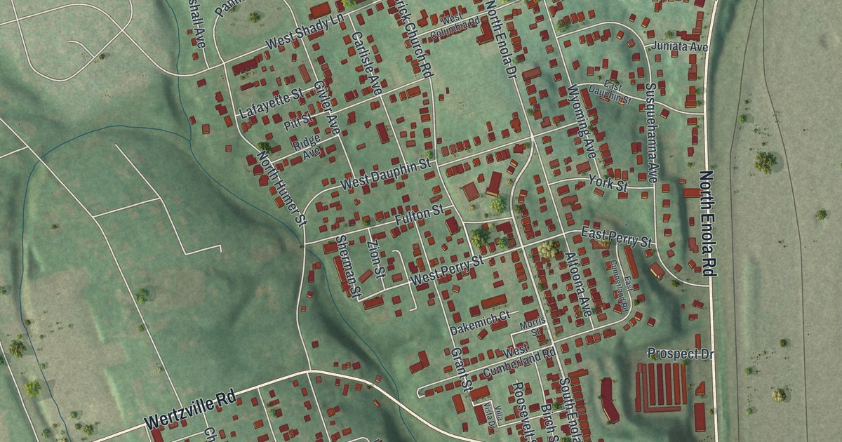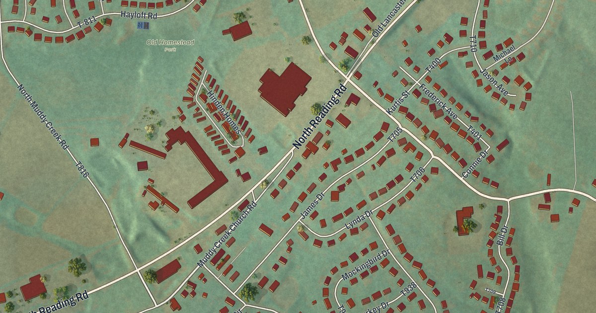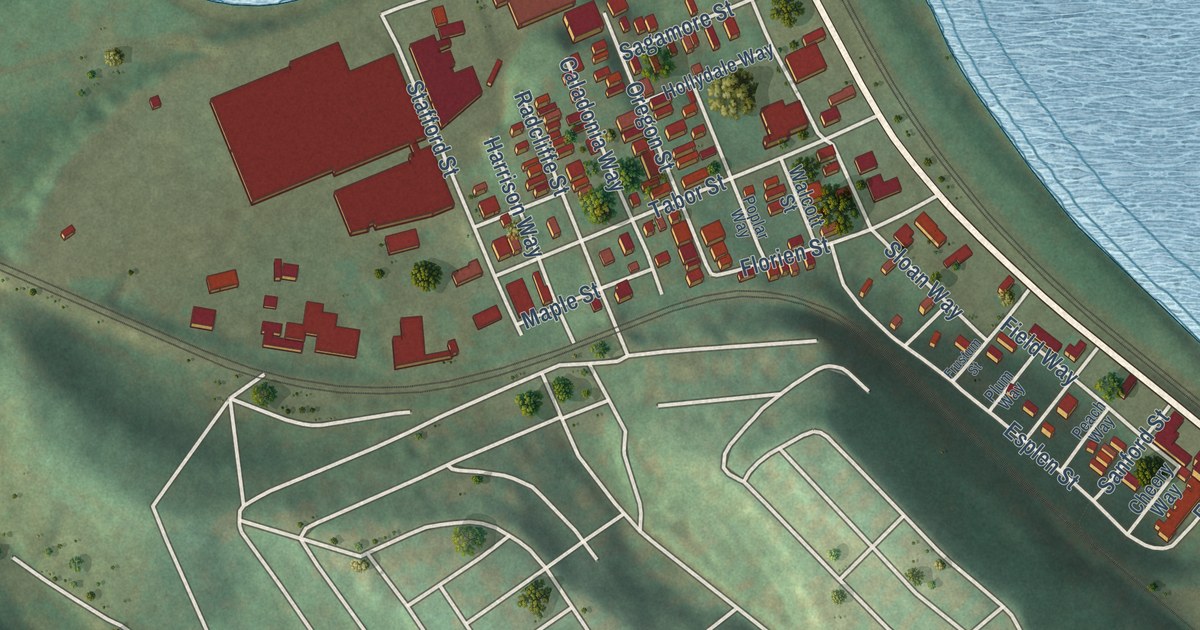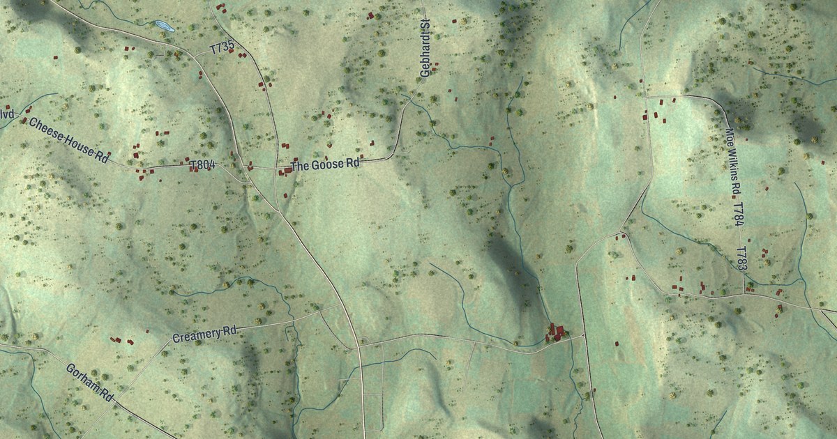
This beautifully detailed map of Pike, Bradford County, Pennsylvania was created in 2026 using aerial imagery combined with modern topographical, census, street and landmark data. It’s a one-of-a-kind view of Pike that combines accurate data with a vintage aesthetic. The map shows every building in its true location, many of the roads carry their names, and the shaded topographic relief shows the shape of the land.
Explore an aerial view of Pike, Bradford County, Pennsylvania
On the map you’ll find Brushville, Neath, Stone House Corner, and Prattville, along with Upham Road, Davis Road, Potterville Road, Saw Mill Road, Hollow Road, and more. If you look closely you can even find your house accurately drawn in its correct location. Zoom in on the preview to look for yours.
Did you know this piece of Pike, Bradford County, Pennsylvania history?
From the 1891 History of Bradford County, Pennsylvania: "In 1873 he came to Towanda, and embarked in his present business on Bridge street, where he continued a successful trade until the spring of 1891, when, to accommodate his increasing patronage, he removed to Main street, where he does an extensive business, occupying two large floors and carrying one of the largest stocks of goods to be found in Bradford county."
Take a closer look at the Pike, Bradford County map
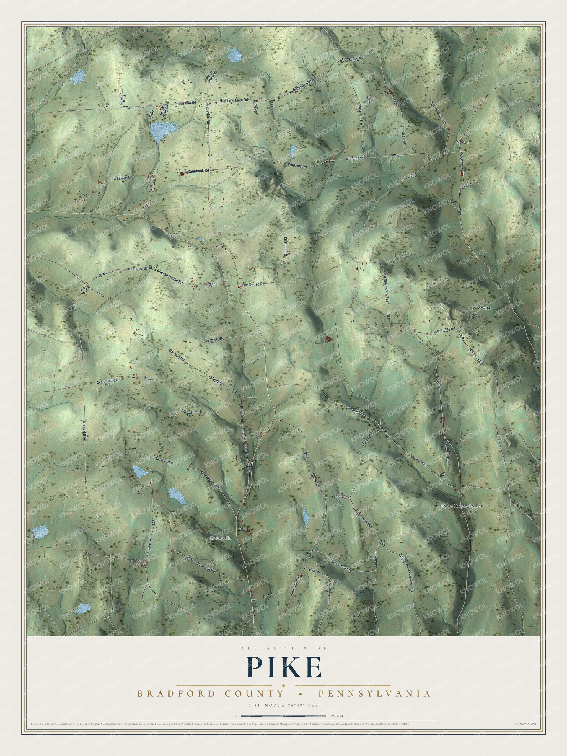
Street and place names on the Pike, Bradford County, Pennsylvania map
These names are printed on the map of Pike, Bradford County, Pennsylvania.
Places: Brushville, Neath, Stone House Corner and Prattville.
Streets and roads: Upham Road, Davis Road, Potterville Road, Saw Mill Road, Hollow Road, Williams Drive, Williams Street, Vista Road, Highland Lake Road, Maple Street, Mill Creek Road, Patton Hill Road.
More street names, A to Z
Albert Davis Road, Alderson Road, Allis Hollow Road, Amish Drive, Augusta Road, Babcock Road, CC Allis Road, Cheese House Road, Chubbuck Road, Creamery Road, East Street, Elm Street, Flanagan Road, Ford Street, Fuller Road, Gaylord Creek Road, Gebhardt Street, George Powell Road, Gorham Road, Green Street, Haights Pond Road, Helly Hill Road, Herrickville Road, Hicks Avenue, Hutchinson Boulevard, Leraysville Road, Moe Wilkins Road, Patten Hill Road, Patton Road, Pond Brook Road, Powell Road, Prattville Road, Reyan Drive, Ridge Road, Shady Lane, Snow Hill Road, Sugar Bush Road, Tater Knob Road, The Goose Road, Warren Center Road, West Hill Road, Williams Road, Wolfe Hill Road, Wolf Hill Road, Woodland Lake Road, Yanavitch Road.
See the Pike, Bradford County, Pennsylvania map on a wall
The Pike, Bradford County map as an 18 x 24 inch print in a black frame.

This beautifully detailed map of Pike, Bradford County makes an attractive addition to your office, library, or den, and it can even be used to teach children the geography and history of the area. It also makes a great gift for anyone who grew up in Pike or moved away. When you’re done exploring, click here to get your copy of the Pike, Bradford County map.