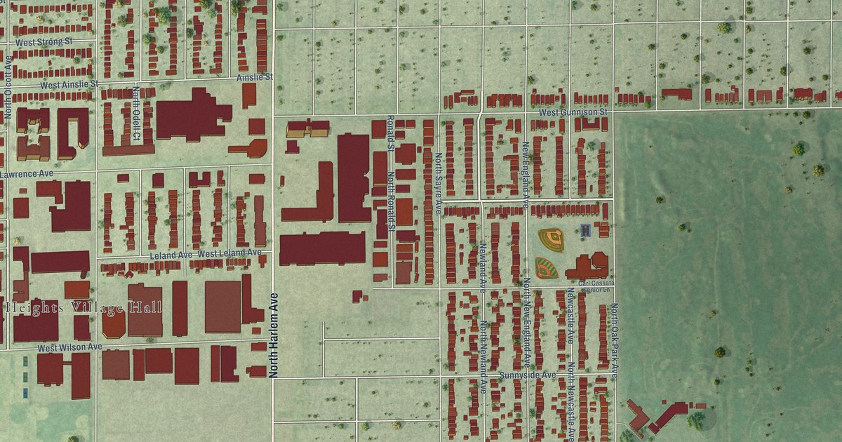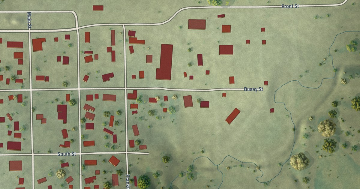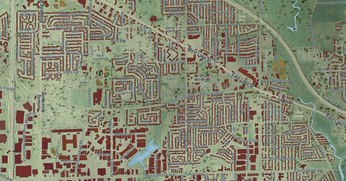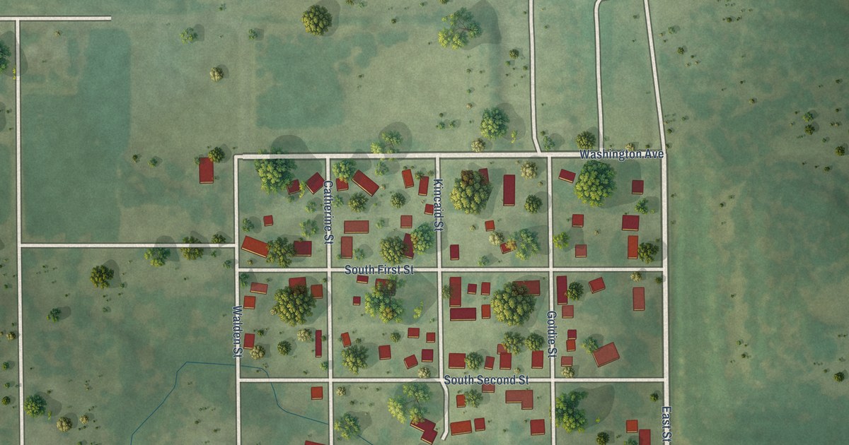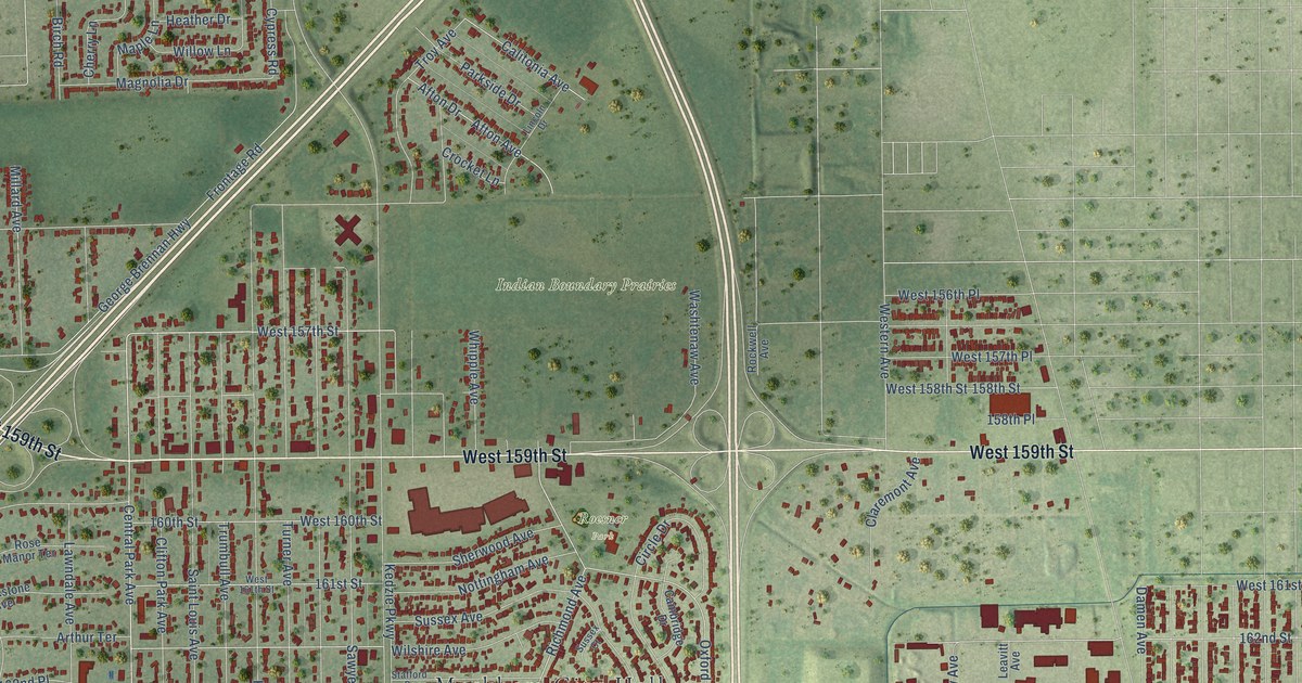
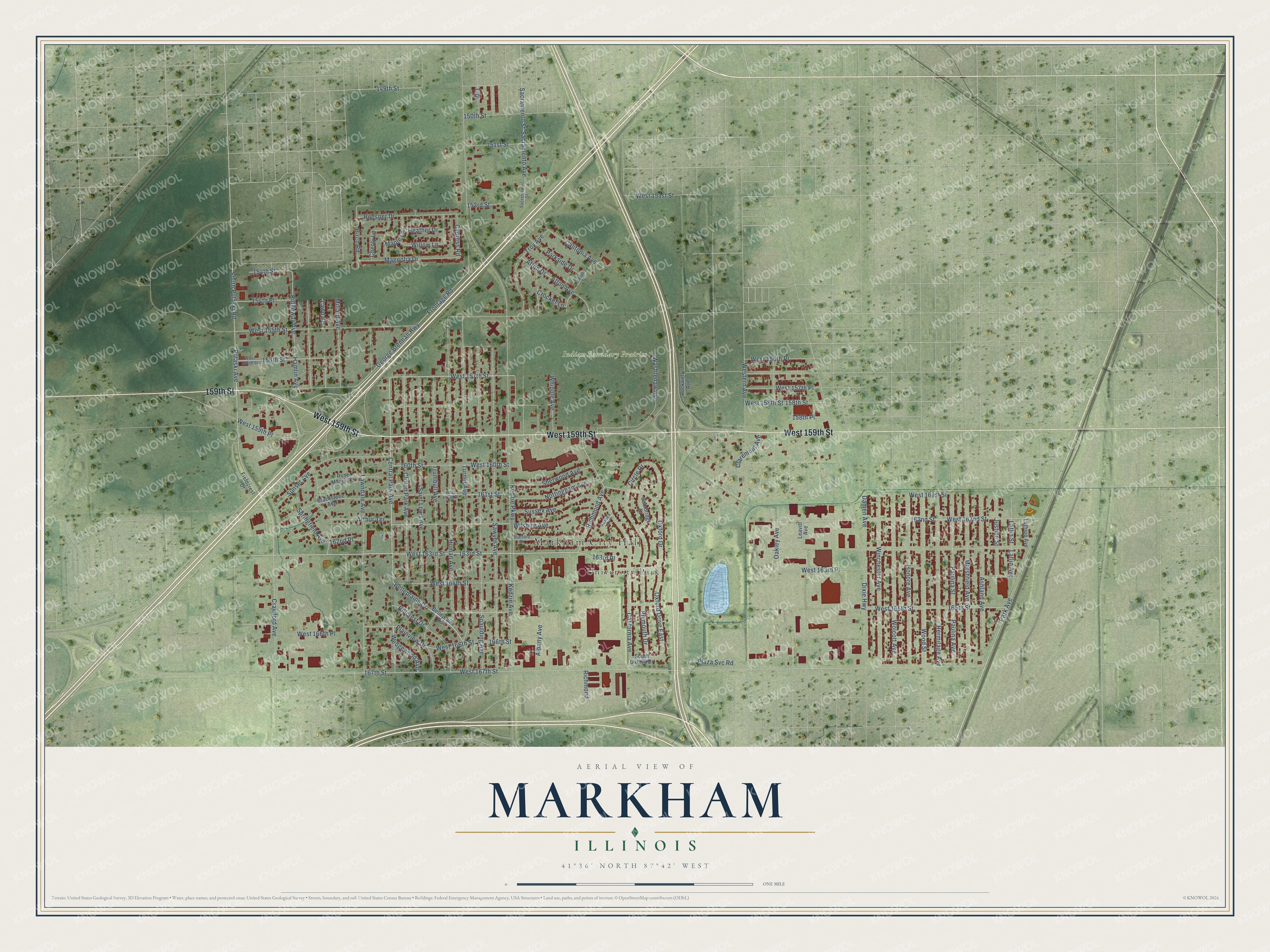
This beautifully detailed map of Markham, Illinois was created in 2026 using aerial imagery combined with modern topographical, census, street and landmark data. It’s a one-of-a-kind view of Markham that combines accurate data with a vintage aesthetic. The map shows every building in its true location, many of the roads carry their names, and the shaded topographic relief shows the shape of the land.
Explore an aerial view of Markham, Illinois
On the map you’ll find Markham City Hall, Indian Boundary Prairies, Roesner Park, University Park, and 163rd Place, along with West 159th Street, 159th Street, West 163rd Street, Central Park Avenue, West 157th Street, 163rd Street, Belleplaine Drive, and more. If you look closely you can even find your house accurately drawn in its correct location. Zoom in on the preview to look for yours.
Did you know this piece of Markham, Illinois history?
From the Cook County Hazard Mitigation Plan: "German immigrants planted 60 pine seedlings from the Black Forest, one of which survived until 1985 along the Old Indian Boundary Line, becoming the Lone Pine Tree symbol on Markham’s city seal."
Take a closer look at the Markham map
Street and place names on the Markham, Illinois map
These names are printed on the map of Markham, Illinois.
Places: Markham City Hall, Indian Boundary Prairies, Roesner Park and University Park.
Streets and roads: West 159th Street, 159th Street, West 163rd Street, Central Park Avenue, West 157th Street, 163rd Street, 163rd Place, Belleplaine Drive, Richmond Avenue, Wedgewood Avenue, 154th Street, Frontage Road.
More street names, A to Z
149th Street, 150th Street, 151st Street, 153rd Street, 154th Place, 156th Street, 158th Place, 158th Street, 160th Street, 161st Street, 162nd Place, 162nd Street, 165th Street, 166th Street, 167th Street, Afton Avenue, Afton Drive, Albany Avenue, Arthur Terrace, Ashland Avenue, Belleplaine Road, Birch Road, Blackstone Avenue, California Avenue, Calitonia Avenue, Cambridge Drive, Cherry Lane, Circle Drive, Claremont Avenue, Clifton Park Avenue, Crawford Avenue, Crocket Lane, Cypress Road, Damen Avenue, Dixie Highway, Fieldcrest Drive, George Brennan Highway, Hamlin Avenue, Heather Drive, Hermitage Avenue, Hillcrest Drive, Homan Avenue, Honore Avenue, Justine Street, Kedzie Avenue, Kedzie Parkway, Laflin Avenue, Laflin Street, Lathrop Avenue, Lawdale, Lawndale Avenue, Leavitt Avenue, Lincoln Drive, Magnolia Drive, Maple Lane, Marshfield Avenue, Millard Avenue, Nottingham Avenue, Oakley Avenue, Oxford Drive, Oxford Drive East, Park Avenue, Parkside Drive, Paulina Avenue, Paulina Street, Plainview Drive, Plaza Svc Road, Plymouth Drive, Pulaski Avenue, Richmond, Ridgeway Avenue, Rockwell Avenue, Roesner Drive, Rose Manor Terrace, Sacramento Avenue, Sacramento Street, Sacremento Street, Saint Louis Avenue, Sawyer Avenue, Sherwood Avenue, South Oxford Drive, South Pulaski Road, Spaulding Avenue, Springfield Avenue, Stafford Drive, Sunset Avenue, Sussex Avenue, Sussex Court, Troy, Troy Avenue, Trumbull Avenue, Turner Avenue, Washtenaw Avenue, West 151st Street, West 155th Street, West 156th Place, West 156th Street, West 157th Place, West 158th Street, West 159th Place, West 160th Street, West 161st Street, West 161th Street, West 162nd Street, West 163rd Place, West 164th Street, West 165th Street, West 166th Place, West 166th Street, West 167th Street, Western Avenue, Whipple Avenue, Willow Lane, Wilshire Avenue, Winchester Avenue, Wolcott Avenue, Wood Street.
See the Markham, Illinois map on a wall
The Markham map as an 18 x 24 inch print in a black frame.

This beautifully detailed map of Markham makes an attractive addition to your office, library, or den, and it can even be used to teach children the geography and history of the area. It also makes a great gift for anyone with Markham roots. When you’re done exploring, click here to get your copy of the Markham map.