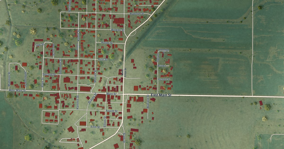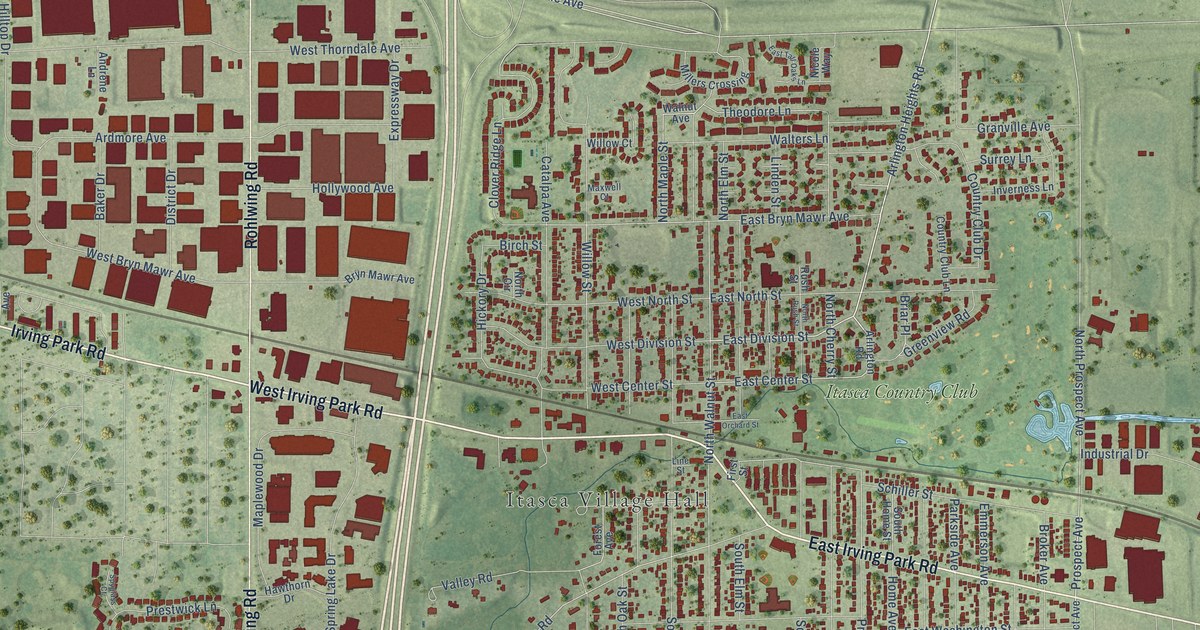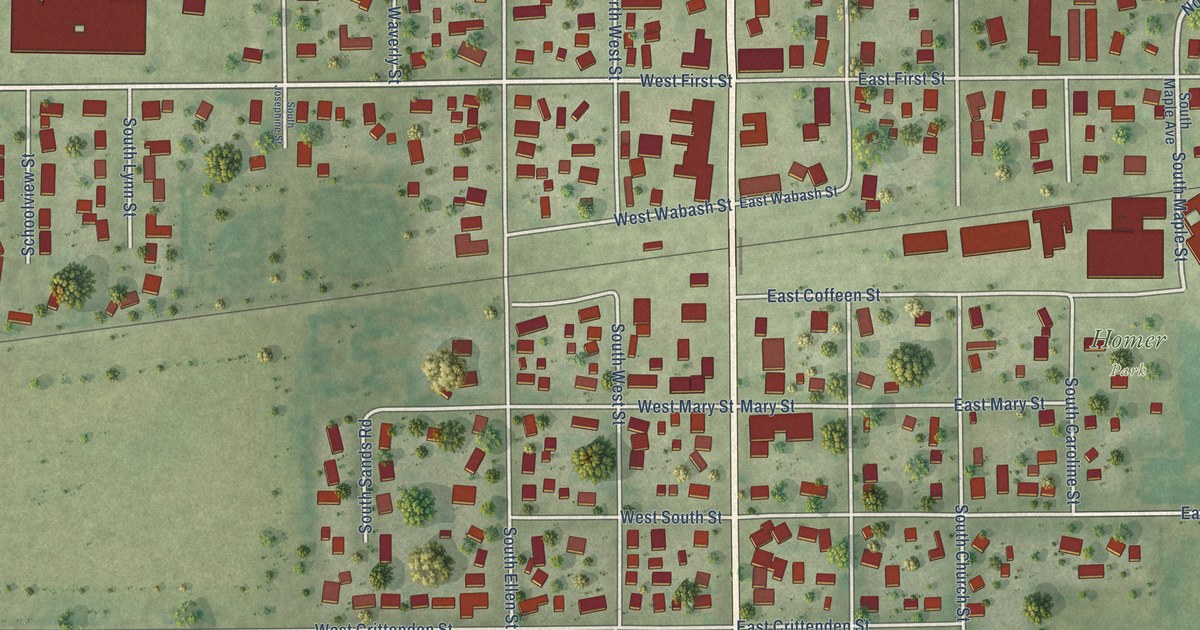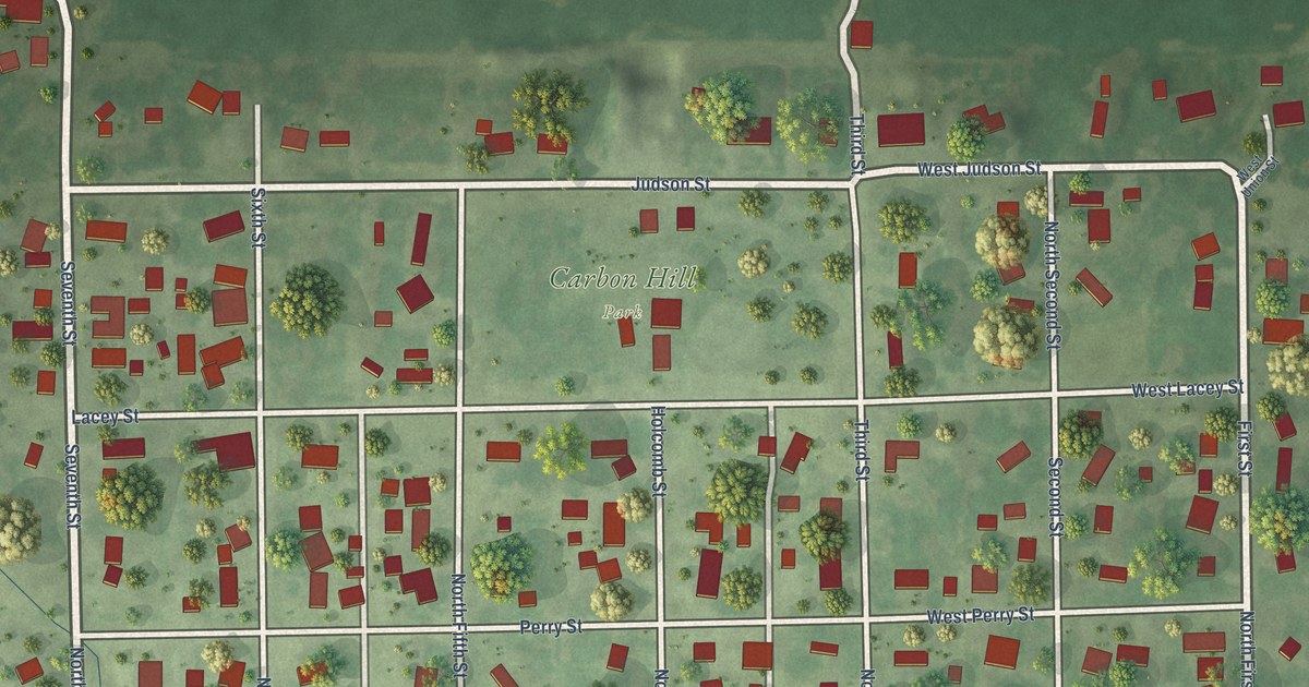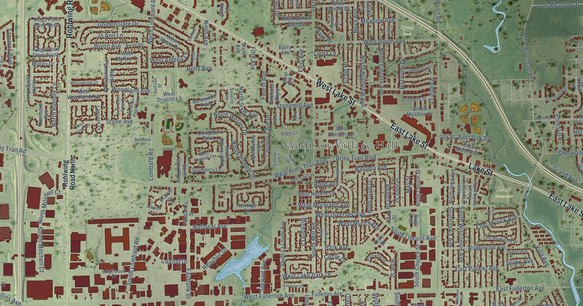
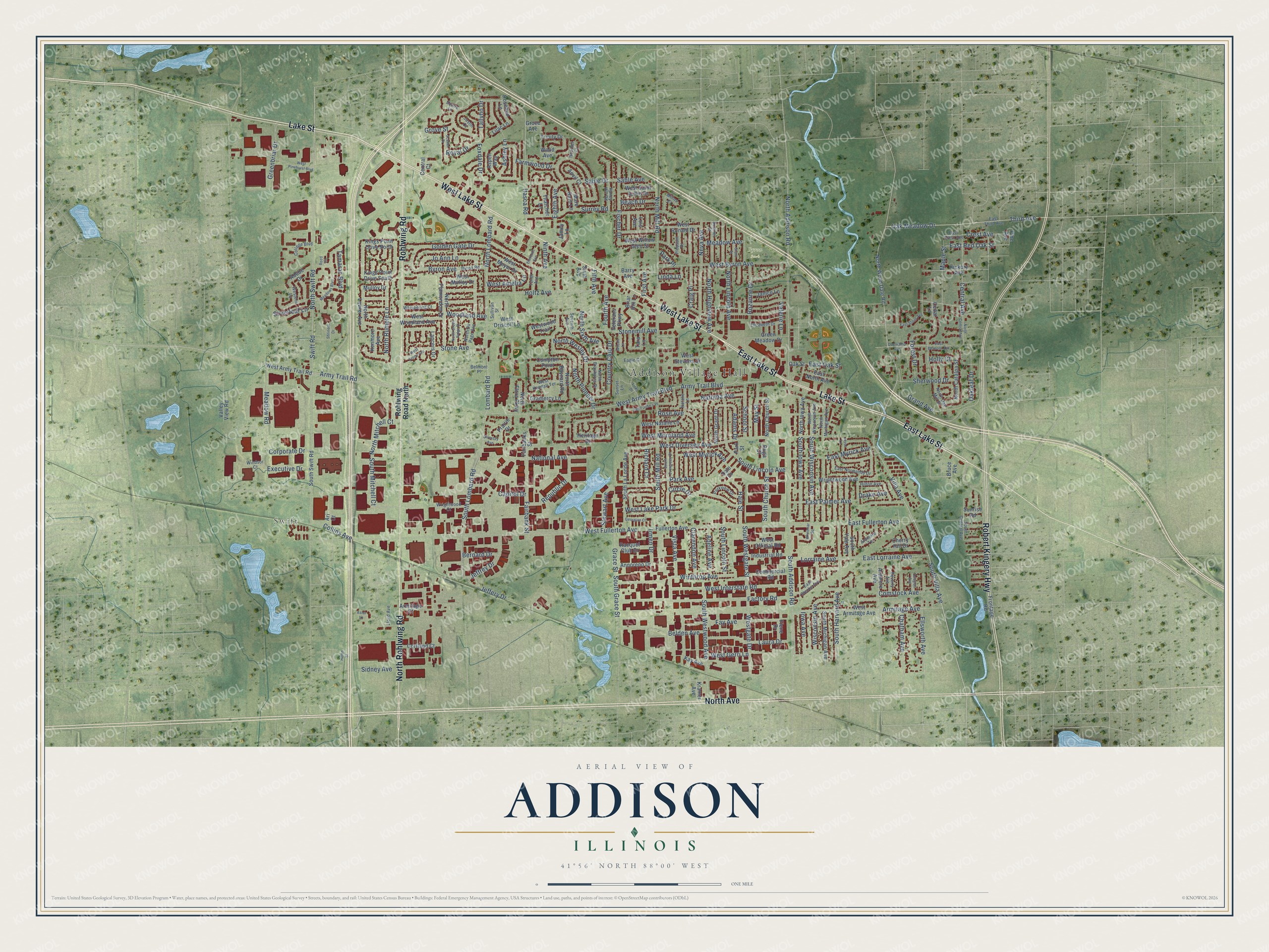
This beautifully detailed map of Addison, Illinois was created in 2026 using aerial imagery combined with modern topographical, census, street and landmark data. It's a modern aerial view of Addison in DuPage County, Illinois, that combines modern data with a vintage aesthetic. The roads feature printed names, and if you look closely you can find your exact house accurately shown in its correct location.
Explore an aerial view of Addison, Illinois
On this map you'll find Addison Village Hall, Swift, Byron Park, Foxdale Park, Louis Reservoir, North Avenue, West Lake Street, Lake Street, Rohlwing Road, East Lake Street, North Rohlwing Road, Robert Kingery Highway, and more. Each red shape is a building, so zoom in on the preview and look for yours.
Here is a piece of Addison history, in the words of the record. The Village of Addison puts it this way: "The Addison Historical Museum opened to the public on July 4, 1976 in the former Village Hall at 131 W. Lake St."
Addison is a village in DuPage County. The Census Bureau counted 35,702 people here in 2020.
Take a closer look at the Addison map
Names on this map
These names are printed on this map.
Places: Addison Village Hall, Swift, Byron Park, Foxdale Park and Louis Reservoir.
Streets and roads: North Avenue, West Lake Street, Lake Street, Rohlwing Road, East Lake Street, North Rohlwing Road, Robert Kingery Highway, North Lombard Road, Itasca Road, Foxdale Drive, Oak Meadow Drive, Villa Avenue.
More street names, A to Z
Adams Drive, Adeline Avenue, Adobe Drive, Annoreno Drive, Anvil Court, Ardmore Avenue, Ardmore Terrace, Ari Court, Armitage Avenue, Armitage Court, Army Trail Boulevard, Army Trail Road, Ashley Lane, Aspen Way, Astor Lane, Barry Avenue, Beach Drive, Belden Avenue, Belmont Place, Bernard Drive, Beverly Avenue, Briar Hill Lane, Bruce Avenue, Byron Avenue, Byron Road, Capitol Drive, Cedar Lane, Central Avenue, Central Court, Chatham Avenue, Cherry Hill Drive, Circle Drive, Clarendon Avenue, College Boulevard, Collins Avenue, Commercial Road, Compton Point, Comstock Avenue, Corporate Drive, Cortland Court, Country Club Drive, Craig Place, Crest Avenue, Dale Drive, Diversey Avenue, Douglas Avenue, Drake Avenue, Eagle Court, East Belmont Avenue, East Blecke Avenue, East Crest Avenue, East Fullerton Avenue, East Lorraine Avenue, East Myrick Avenue, East Normandy Drive, East North Avenue, East Oak Street, East Palmer Avenue, East Red Oak Street, East Stone Avenue, East Third Avenue, Eighth Avenue, Eleventh Avenue, Elizabeth Drive, Ellsworth Avenue, Executive Drive, Factory Road, Fairbanks Street, Fairbank Street, Farmwood Drive, Fay Avenue, Fiene Drive, Fifth Avenue, First Avenue, Fischer Drive, Forest Drive, Fourth Avenue, Frontage Road, Fullerton Avenue, Georgian Court, Golden Gate Drive, Grace Street, Gramercy Lane, Grand Avenue, Grant Street, Greenbriar Drive, Green Meadow Drive, Grove Avenue, Grove Street, Hale Street, Heather Court, Helen Street, Heritage Drive, Hickory Avenue, Hilton Avenue, Holly Court, Holtz Avenue, Honey Hill Road, Industrial Road, Iowa Avenue, Irmen Drive, Jamey Lane, Janice Lane, Jeffery Drive, Jeffrey Drive, Jo Ann Lane, Joyce Lane, Justin Court, Kay Avenue, Kenmore Avenue, Kings Point Drive North, Kings Point Drive South, Kramer Avenue, Lancers Drive, Laura Drive, Lilac Lane, Linda Lane, Links Drive, Lloyd Avenue, Lois Avenue, Lombard Road, Lorraine Avenue, Maple Street, Mare Barn Lane, May Street, Meadow Avenue, Meadow Road, Meadows Boulevard, Millns Court, Mulloy Drive, Natalie Lane, National Avenue, Natoma Avenue, Neva Avenue, Ninth Avenue, North Addison Road, North Baynard Road, North Brashares Drive, North Catalpa Street, North Central Avenue, North Church Street, North Du Page Avenue, North Flora Parkway, North Grant Drive, North Green Ridge Street, North Highview Avenue, North Iowa Avenue, North Lawler Avenue, North Lincoln Avenue, North Michigan Avenue, North Mill Road, North Mitchell Court, North Oak Mill Street, North Pioneer Drive, North Plamondon Drive, North Rumple Lane, North Sixth Avenue, North Swift Road, North Wesley Drive, North Wisconsin Avenue, North Wood Dale Road, Oakleaf Drive, Oak Street, Overkamp Avenue, Park Avenue, Park Place, Park Street, Parkview Drive, Pine Avenue, Pleasant Drive, Prairie Drive, Racquet Club Drive, Reed Court, Republic Drive, Richard Court, Rohlwing Road North, Rose Avenue, Rosebud Lane, Royal Drive, Rozanne Drive, Ruga Court, Sable Avenue, Sable Drive, Saint John's Place, Scarlet Drive, School Street, Seventh Avenue, Sherwood Drive, Shriners Drive, Sidney Avenue, Silverleaf Lane, Sixth Avenue, South Addison Road, South Central Avenue, South Church Street, South Evergreen Street, South Grace Street, South Harvard Avenue, South Iowa Avenue, South La Londe Avenue, South Lincoln Avenue, South Lincoln Street, South Lombard Road, South Michigan Avenue, South Mill Road, South Mitchell Court, South Swift Road, South Villa Avenue, South Westgate Street, South Westwood Avenue, South Wisconsin Avenue, South Yale Avenue, Squire Lane, Stewart Avenue, Stone Avenue, Stonemill Avenue, Sullivan Street, Sumner Street, Sunrise Road, Sunset Lane, Surrey Road, Swift Road, Tallyho Drive, Tamarac Boulevard, Tara Lane, Tenth Avenue, Thatcher Lane, Third Avenue, Trinity Drive, Valerie Lane, Valley View Road, Veterans Parkway, Vista Avenue, Wenbriar Square, West Amelia Lane, West Armitage Avenue, West Army Trail Boulevard, West Army Trail Road, West Byron Avenue, West Diversey Avenue, West Driscoll Lane, Western Lane, West Fullerton Avenue, Westgate Drive, West Gerri Lane, West Interstate Road, West Kendall Terrace, West Lake Park Drive, West Meyer Drive, West Moreland Avenue, West Mulloy Drive, West Myrick Avenue, West Natalie Lane, West Official Road, West Pinehurst Boulevard, West Ronald Drive, West Saint Aubin Drive, West Stevens Drive, West Stone Avenue, West Willow Glen Street, West Woodland Avenue, Westwood Trail, Whispering Court, Wilson Lane, Windsor Court, Winthrop Avenue, Wisconsin Avenue, Wood Avenue, Woodland Avenue, Wrightwood Avenue, Wrightwood Court.
Created by KNOWOL in 2026. The buildings are small red shapes, the roads carry their printed names, and shaded relief shows the shape of the land. The title panel reads "AERIAL VIEW OF ADDISON ILLINOIS" with 41°56' NORTH 88°00' WEST.
It suits a den, a classroom or a front hall, and it makes a gift for anyone with Addison roots. Open the preview and find the block you know. See sizes and frames for the Addison map.