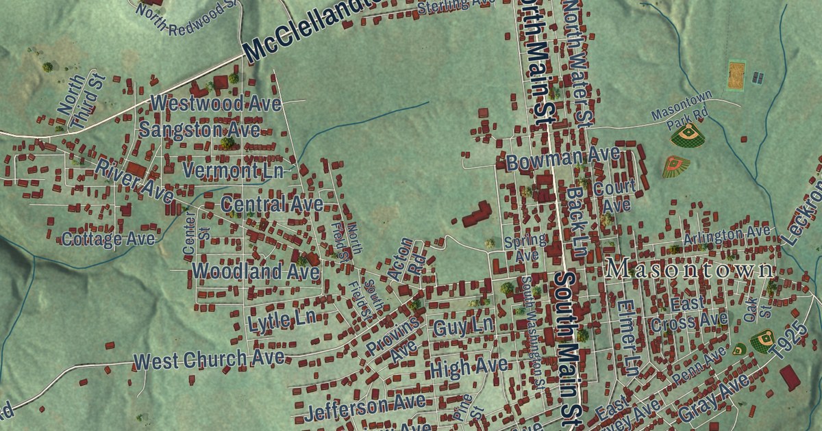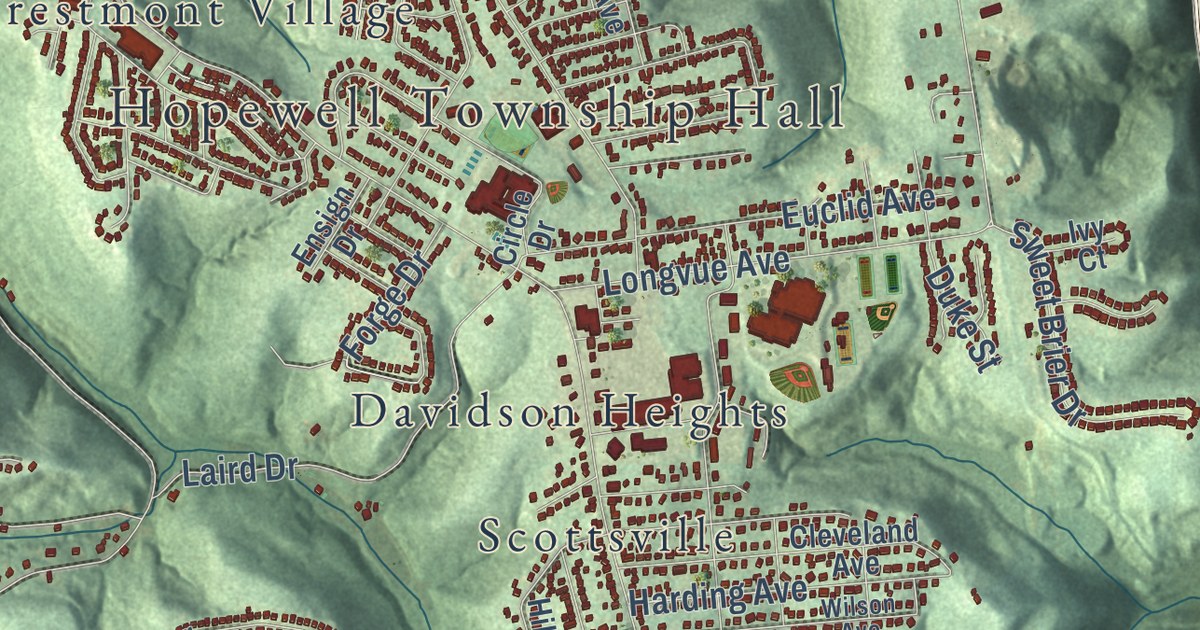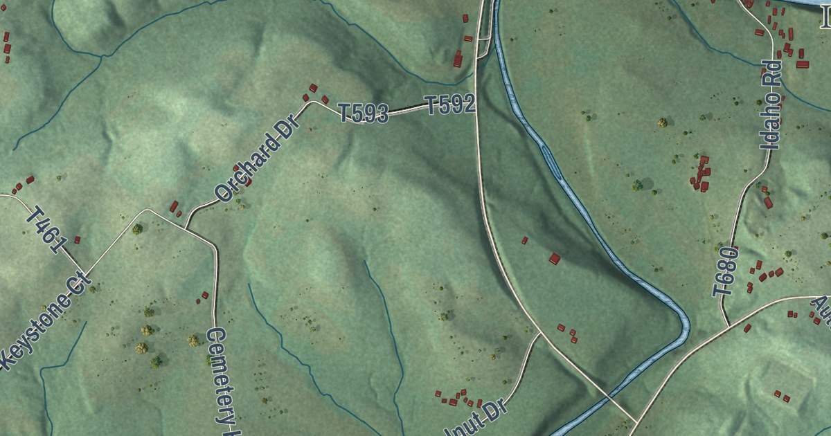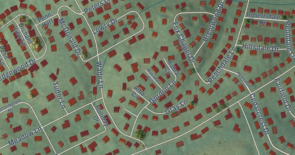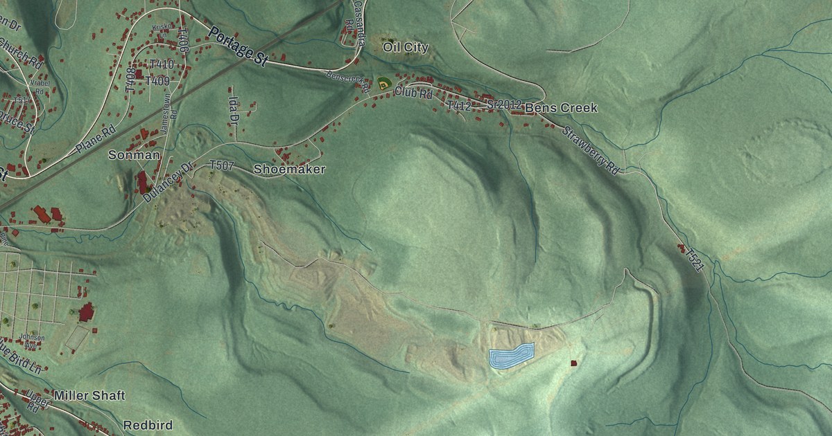
This beautifully detailed map of Portage Township, Cambria County, Pennsylvania was created in 2026 using aerial imagery combined with modern topographical, census, street and landmark data. It’s a one-of-a-kind view of Portage Township that combines accurate data with a vintage aesthetic. The map shows every building in its true location, many of the roads carry their names, and the shaded topographic relief shows the shape of the land.
Explore an aerial view of Portage Township, Cambria County, Pennsylvania
On the map you’ll find Moudy Hill, Germantown, State Game Lands Number 26, Bens Creek, Fiddlers Green, Jamestown, Martindale, Miller Shaft, Oil City, Puritan, Redbird, Shoemaker, and more. If you look closely you can even find your house accurately drawn in its correct location. Zoom in on the preview to look for yours.
Did you know this piece of Portage Township, Cambria County, Pennsylvania history?
From the Pennsylvania Historical and Museum Commission: "From 1834 to 1854 this 36-mile line connected Hollidaysburg to Johnstown. The railroad portaged canal boats over the Allegheny Mountains, which formed a barrier to the Pennsylvania canal system. Horses and mules pulled the first trains. Later steam locomotives were used. At the center of the line, Plane No. 2 served as the railroad headquarters."
Take a closer look at the Portage Township, Cambria County map
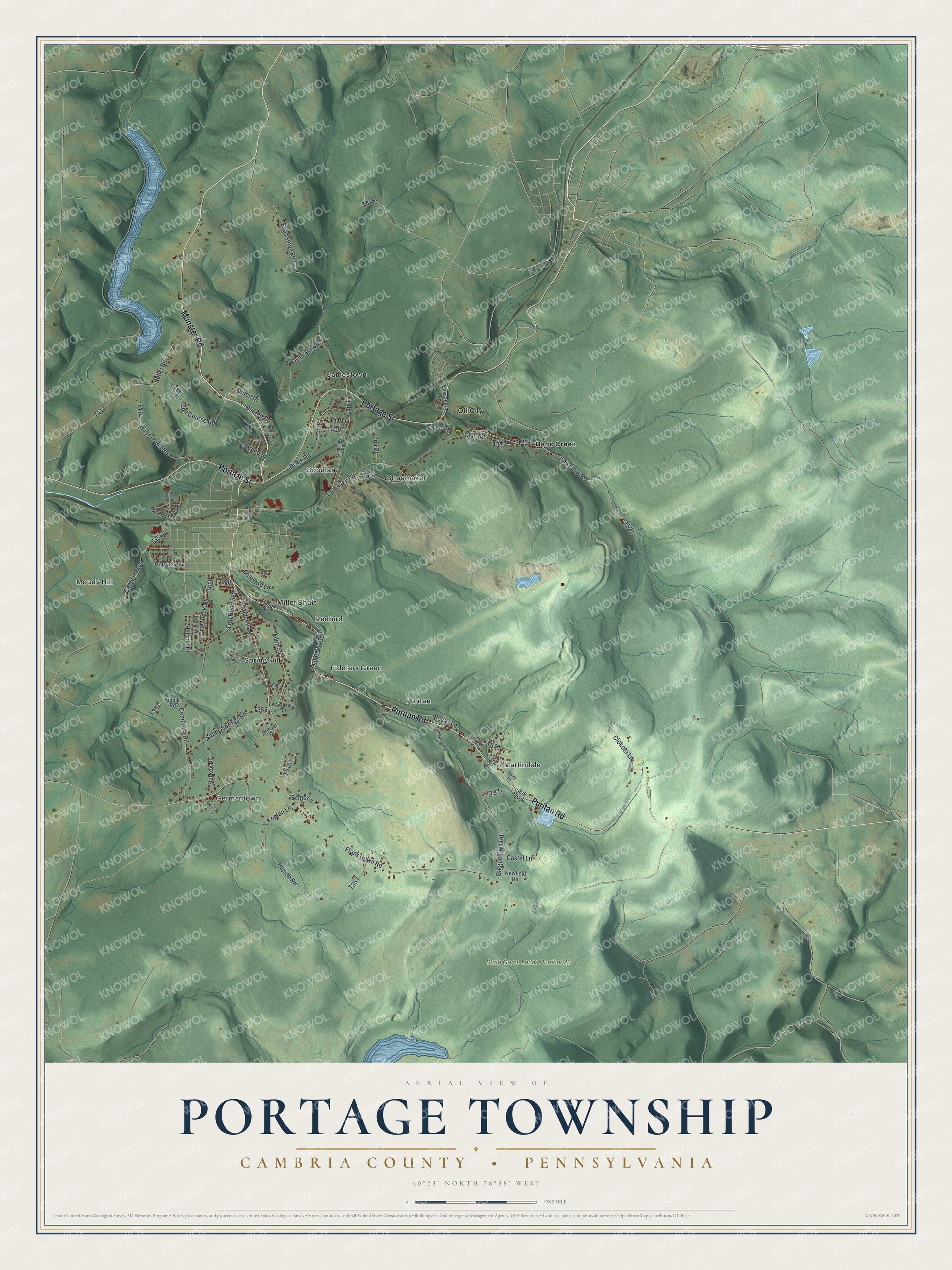
Street and place names on the Portage Township, Cambria County, Pennsylvania map
These names are printed on the map of Portage Township, Cambria County, Pennsylvania.
Places: Moudy Hill, Germantown, State Game Lands Number 26, Bens Creek, Martindale, Sonman, Miller Shaft, Jamestown, Spring Hill, Shoemaker, Oil City, Puritan, Fiddlers Green and Redbird.
Streets and roads: Puritan Road, Portage Street, Munster Road, Springhill Road, Twp Road 388, Sportsman Road, Allen Street, Shady Springs Road, Frankstown Road, Dulancey Drive, Cemetery Road, Popish Road.
More street names, A to Z
Academy Drive, Aspen Drive, Becks Lane, Bems Lane, Benscreek Road, Blue Bird Lane, Burkey Drive, Caldwell Avenue, Cassandra Road, Castel Lane, Church Road, Ciokota Lane, Club Road, Cuttys Lane, Elwood Drive, Frazer Avenue, Gigguetown Road, Golf Course Road, Hemlock Drive, Hillside Drive, Hufford Hill Road, Ida Drive, Jamestown Road, Johnson Avenue, Kleman Lane, Koban Drive, Kostan Lane, Krisko Lane, Maple Street, Michael Lane, Miller Shaft Road, Newfield Road, North Oak Drive, Pine Street, Plane Road, Ribblet Road, Robel Road, Salt Block, Sandy Lane, Sonman Avenue, Spruce Street, Sr2012, Steven Drive, Storm Street, Strawberry Road, Timber Drive, Twin Lakes Road, Upper Road, Vrabel Road, Woodland Boulevard, Zimmermans Lane.
See the Portage Township, Cambria County, Pennsylvania map on a wall
The Portage Township, Cambria County map as an 18 x 24 inch print in a black frame.

This beautifully detailed map of Portage, Cambria County makes an attractive addition to your office, library, or den, and it can even be used to teach children the geography and history of the area. It also makes a great gift for someone who left Portage Township and still calls it home. When you’re done exploring, click here to get your copy of the Portage, Cambria County map.