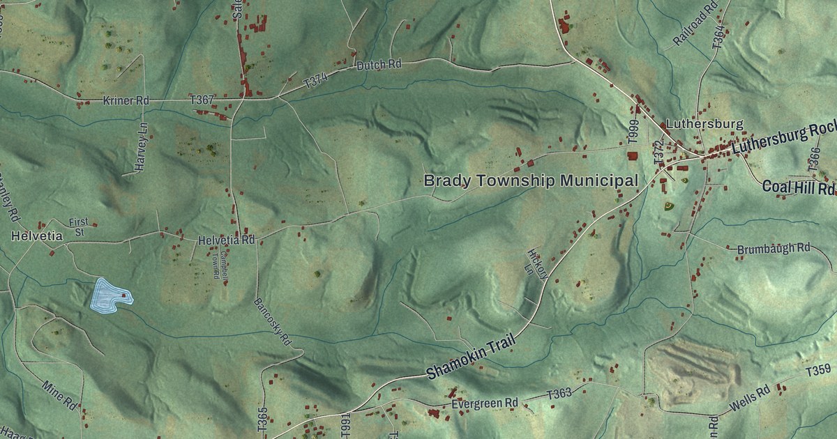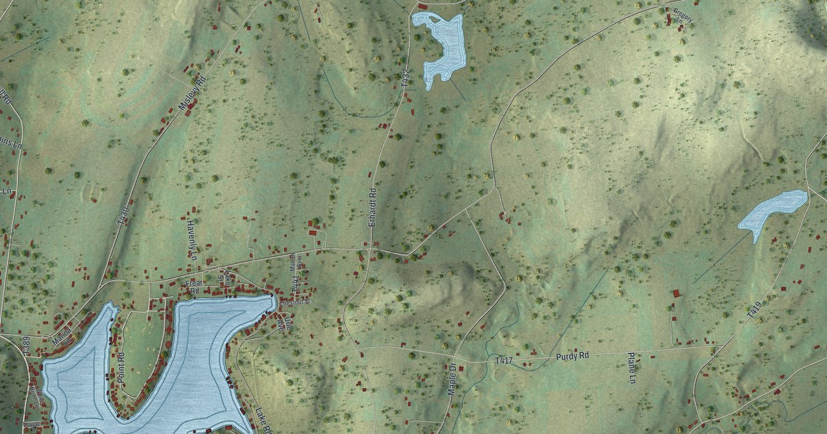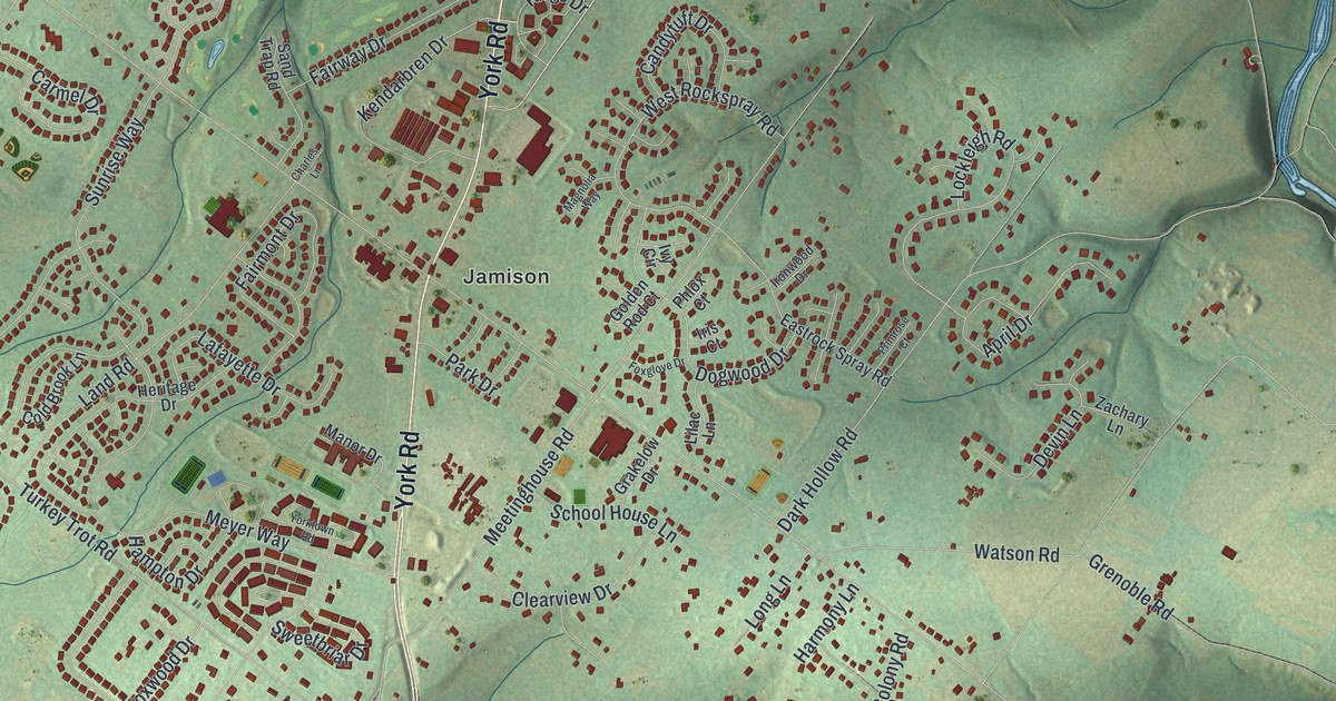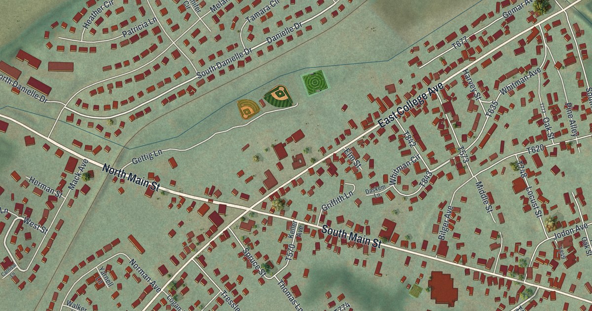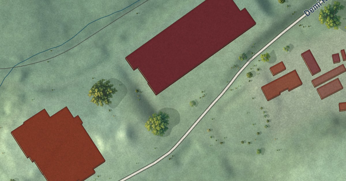
This beautifully detailed map of Portland, Pennsylvania was created in 2026 using aerial imagery combined with modern topographical, census, street and landmark data. It’s a one-of-a-kind view of Portland that combines accurate data with a vintage aesthetic. The map shows every building in its true location, many of the roads carry their names, and the shaded topographic relief shows the shape of the land.
Explore an aerial view of Portland, Pennsylvania
On the map you’ll find Portland Borough Recreation Area and Portland Toll Bridge, along with Delaware Avenue, Bridge Street, State Street, Main Street, Washington Street, First Street, Division Street, Collins Avenue, Demi Road, Penna Avenue, and more. If you look closely you can even find your house accurately drawn in its correct location. Zoom in on the preview to look for yours.
Did you know this piece of Portland, Pennsylvania history?
Portland, once known as Dill’s Ferry, was linked to Columbia, New Jersey, by a covered bridge that opened on February 1, 1869. The 775-foot bridge allowed only 15 head of cattle or sheep at a time to keep it from swaying. On June 15, 1927, collector Charles Newbaker accepted the final toll and painted FREE BRIDGE signs at both ends. That’s from the Borough of Portland.
Take a closer look at the Portland map
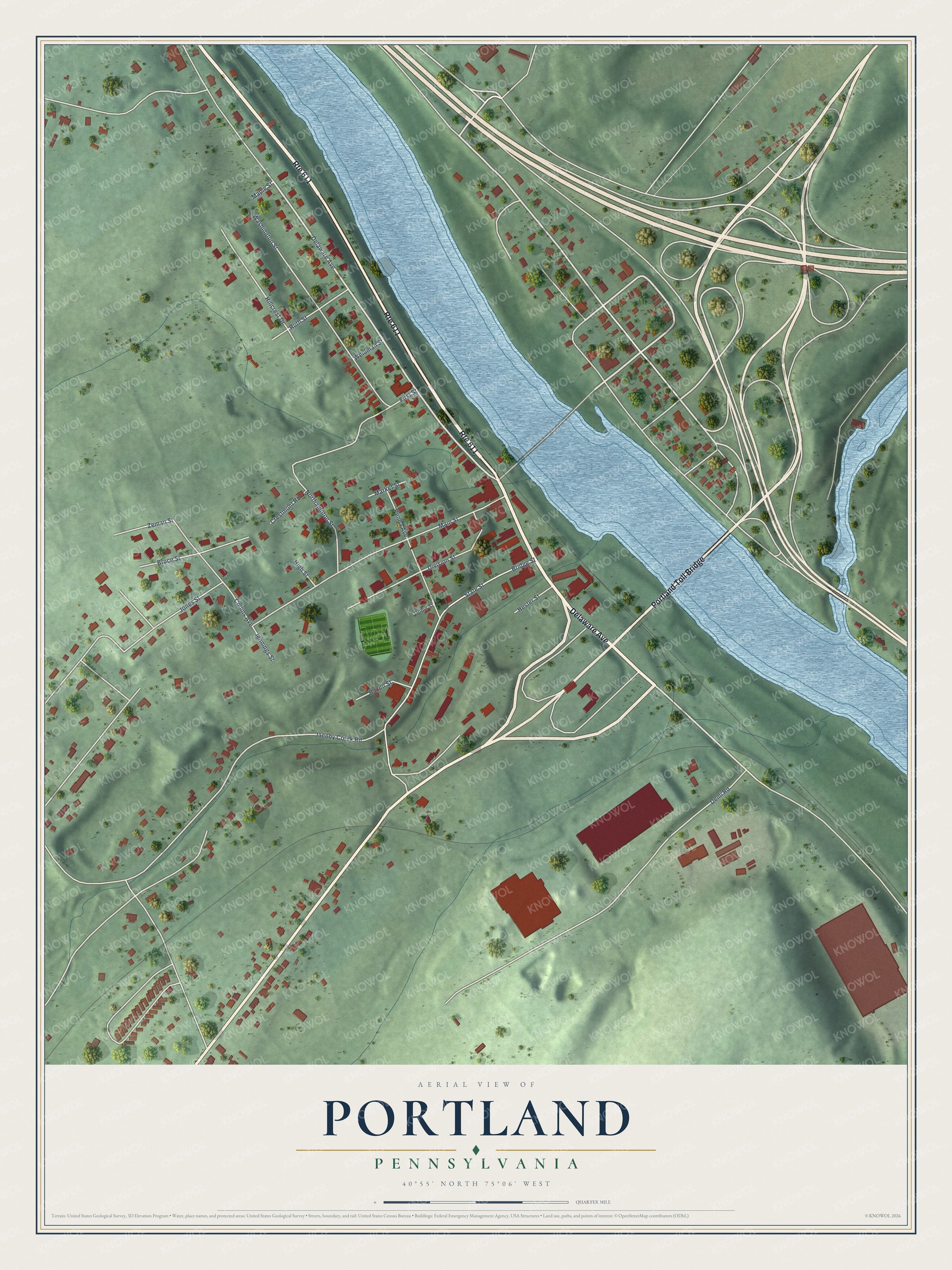
Street names on the Portland, Pennsylvania map
These names are printed on the map of Portland, Pennsylvania.
Streets and roads: Route 611, Delaware Avenue, Portland Toll Bridge, Bridge Street, State Street, Main Street, Washington Street, Demi Road, First Street, Division Street, Collins Avenue, Penna Avenue.
More street names, A to Z
Bruce Street, Crestmont Road, Goble Street, Hazen Street, Hester Street, High Street, Hillcrest Drive, Jacoby Creek Road, Jennings Street, Jones Street, Maple Street, Market Street, Northampton Street, Ruth Street, Weidman Street, Zeman Street.
See the Portland, Pennsylvania map on a wall
The Portland map as an 18 x 24 inch print in a black frame.

This beautifully detailed map of Portland makes an attractive addition to your office, library, or den, and it can even be used to teach children the geography and history of the area. It also makes a great gift for anyone with Portland roots. When you’re done exploring, click here to get your copy of the Portland map.