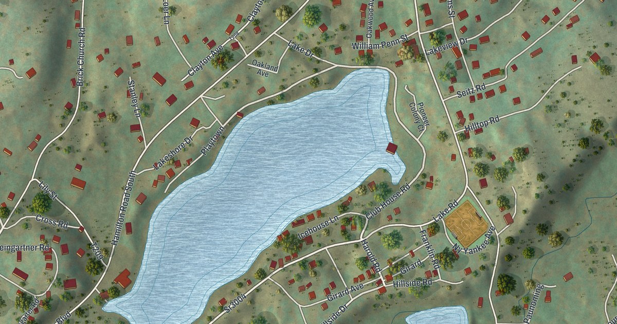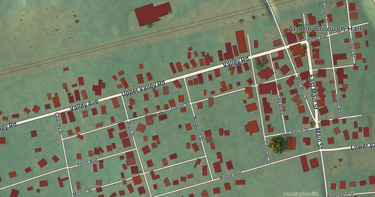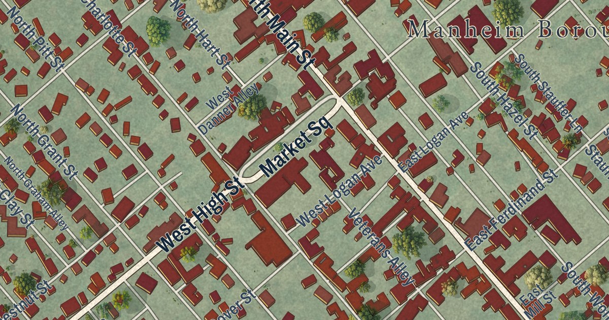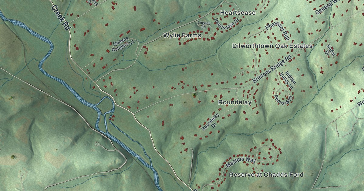
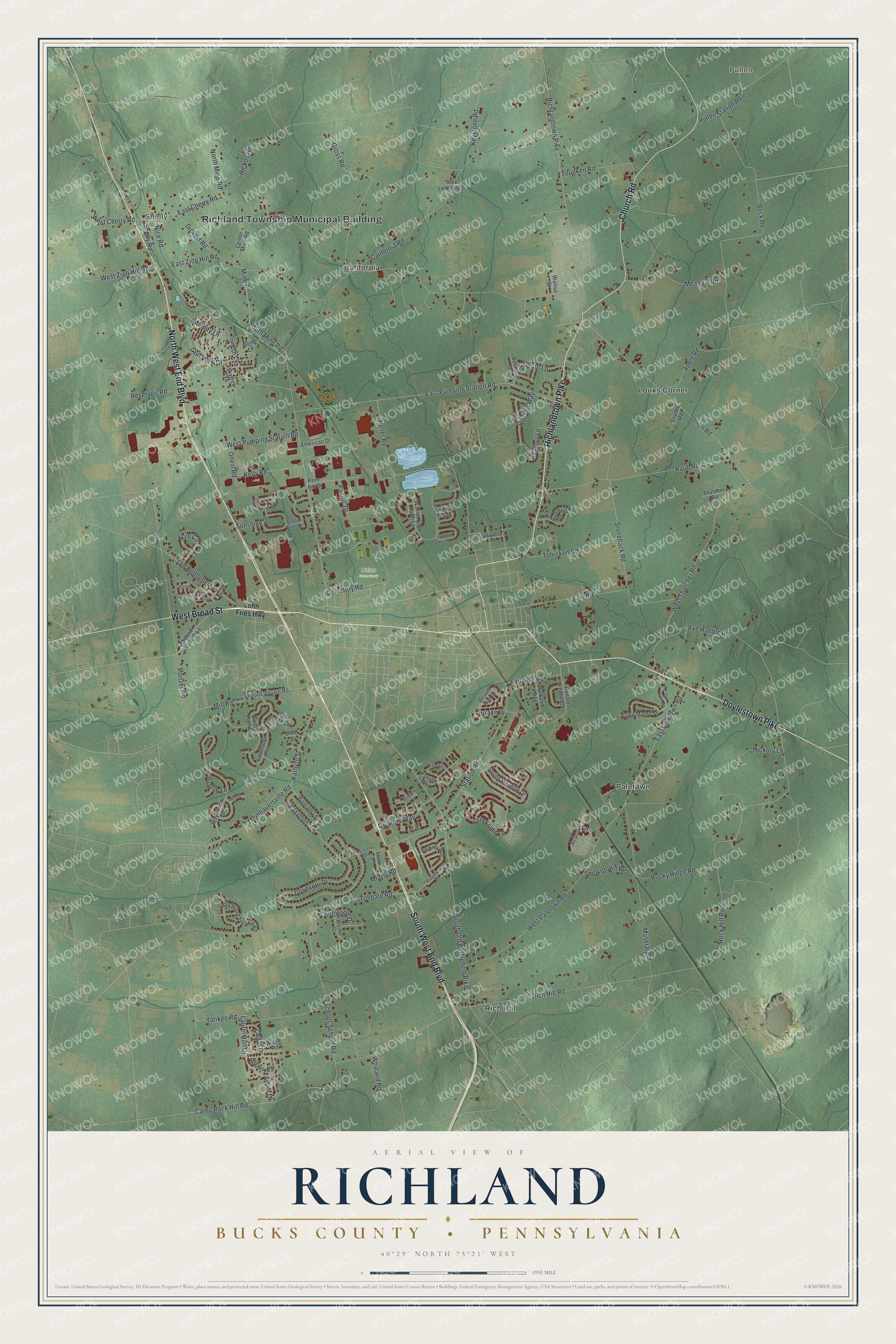
This beautifully detailed map of Richland, Bucks County, Pennsylvania was created in 2026 using aerial imagery combined with modern topographical, census, street and landmark data. It’s a one-of-a-kind view of Richland that combines accurate data with a vintage aesthetic. The map shows every building in its true location, many of the roads carry their names, and the shaded topographic relief shows the shape of the land.
Explore an aerial view of Richland, Bucks County, Pennsylvania
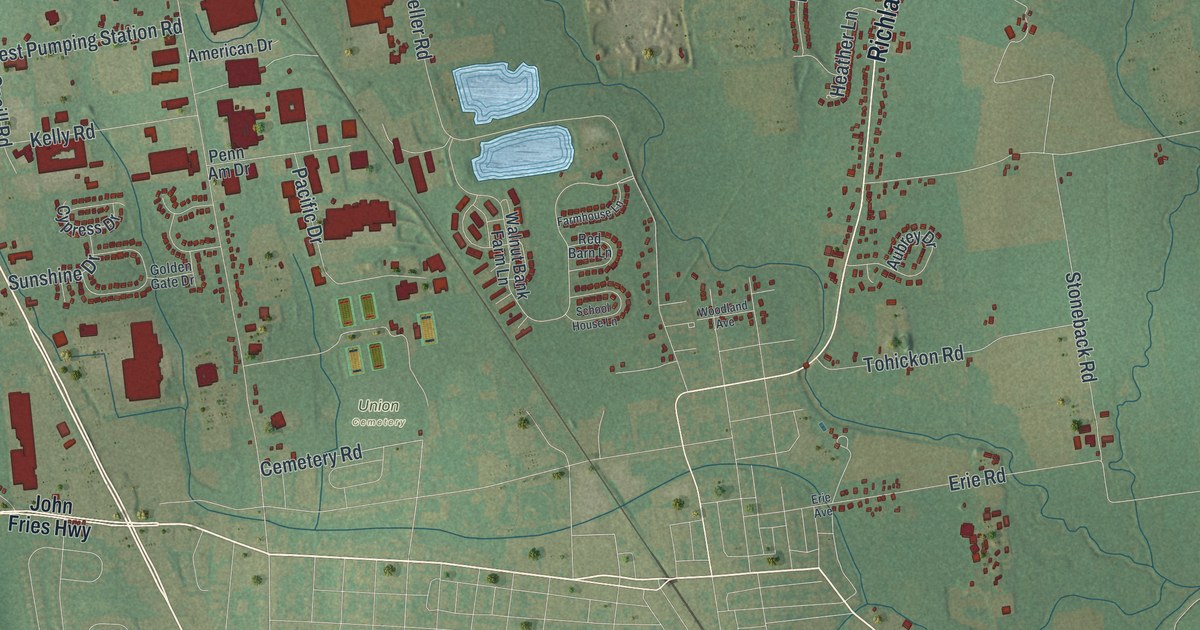
On the map you’ll find Richland Township Municipal Building, Shelly, Pullen, Union Cemetery, California, Louxs Corner, Paletown, and Rich Hill, along with North West End Boulevard, Doylestown Pike, South West End Boulevard, Richlandtown Pike, and more. If you look closely you can even find your house accurately drawn in its correct location. Zoom in on the preview to look for yours.
Did you know this piece of Richland, Bucks County, Pennsylvania history?
Early settlers knew this corner of Bucks County as the Great Swamp. Newcomers looking for homes soon learned the ground was far better than its name. Shortly after 1720, people began calling it the Rich lands because the soil was so fertile. In time, that name was given to the township. That’s from the 1876 History of Bucks County.
Take a closer look at the Richland, Bucks County map
Street and place names on the Richland, Bucks County, Pennsylvania map
These names are printed on the map of Richland, Bucks County, Pennsylvania.
Places: Richland Township Municipal Building, Shelly, Pullen, Union Cemetery, California, Louxs Corner, Paletown and Rich Hill.
Streets and roads: North West End Boulevard, Doylestown Pike, South West End Boulevard, Richlandtown Pike, West Broad Street, Church Road, Axe Handle Road, Cemetery Road, Rock Hill Road, Laurel Run Drive, Camp Rock Hill Road, Yankee Road.
More street names, A to Z
Alec Jamison Drive, American Drive, Apple Drive, Apple Road, Arbour Lane, Ash Lane, Aubrey Drive, Bartram Lane, Beaver Run Drive, Beck Road, Berkley Avenue, Beth Lane, Brayton Court, Bridle Path Drive, Caboose Drive, California Road, Cedar Drive, Center Mine Road, Claymont Drive, Cobblestone Way, Creekside Lane, Cypress Drive, Depot Lane, Dickert Road, Dogwood Drive, Dovecote Drive, East Cherry Road, East Paletown Road, East Pumping Station Road, East Zion Hill Road, Erie Avenue, Erie Road, Fairmont Drive, Fairview Avenue, Farmhouse Lane, Franklin Lane, Glen Manor Drive, Golden Gate Drive, Golf View Drive, Green Lane, Grey Fox Circle, Gross Road, Harvest Lane, Heather Lane, Heller Road, Hickon Road, Hickory Lane, Ivy Court, John Fries Highway, John Street, Kathyrn Street, Kelly Road, Keystone Road, Kile Circle, Liberty Court, Longwood Drive, Mayflower Drive, Meadow Road, Melody Lane, Milford Square Pike, Milford Square Road, Mill Road, Mine Road, Morris Road, Muskrat Road, Nice Road, North Mine Road, Oak Tree Drive, Old Bethlehem Pike, Oneill Road, Pacific Drive, Patriots Way, Penn Am Drive, Perkasie Avenue, Pilgrim Lane, Portzer Road, Pullen Station Road, Quakers Way, Raub Road, Red Barn Lane, Reservoir Road, Rich Hill Road, Richland Terrace Road, Ridge Road, Ridgeway Court, Rocky Ridge Road, Ronald Reagan Drive, Scholls School Road, School House Lane, Shelly Road, Skyview Lane, Smoketown Road, Snyder Road, South Mine Road, South Old Bethlehem Pike, Spring Meadow Drive, Station Road, Stoneback Road, Stonegate Village, Sunshine Drive, Terrace Drive, Thatcher Road, Tohickon Road, Tollgate Road, Trumbauersville Road, Union Road, Virginia Way, Walnut Bank Farm Lane, Walnut Street, West Cherry Road, West Paletown Road, West Pumping Station Road, West Thatcher Road, West Zion Hill Road, Whaland Road, Woodland Avenue, Younken Road.
See the Richland, Bucks County, Pennsylvania map on a wall
The Richland, Bucks County map as an 18 x 24 inch print in a black frame.

This beautifully detailed map of Richland, Bucks County makes an attractive addition to your office, library, or den, and it can even be used to teach children the geography and history of the area. It also makes a great gift for someone who left Richland and still calls it home. When you’re done exploring, click here to get your copy of the Richland, Bucks County map.