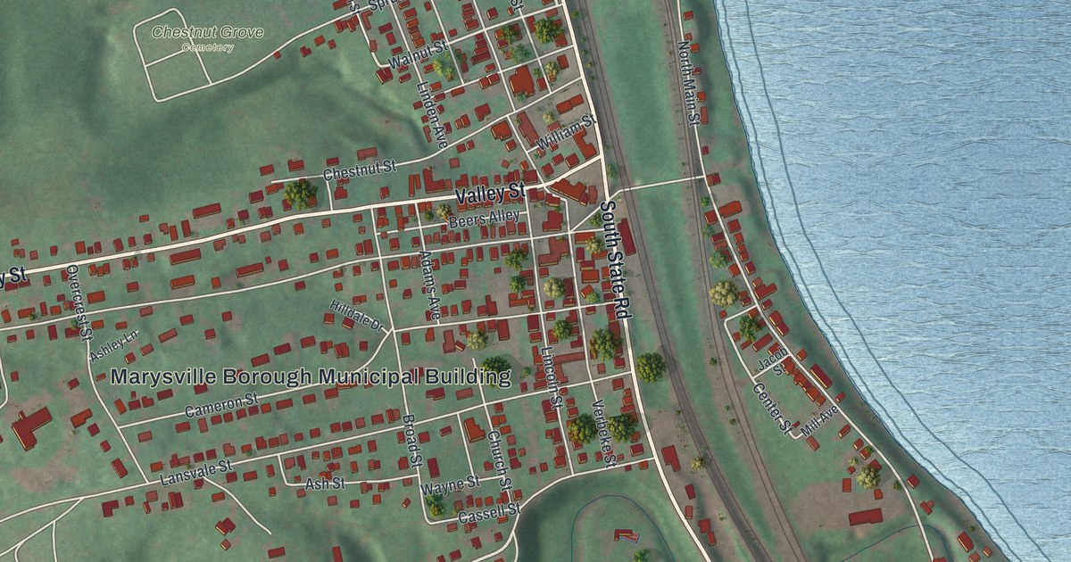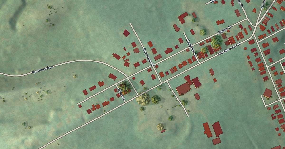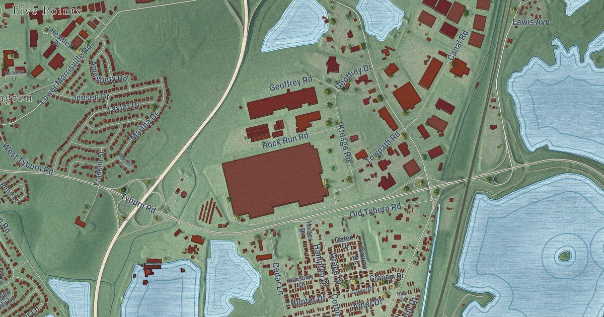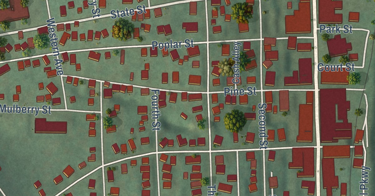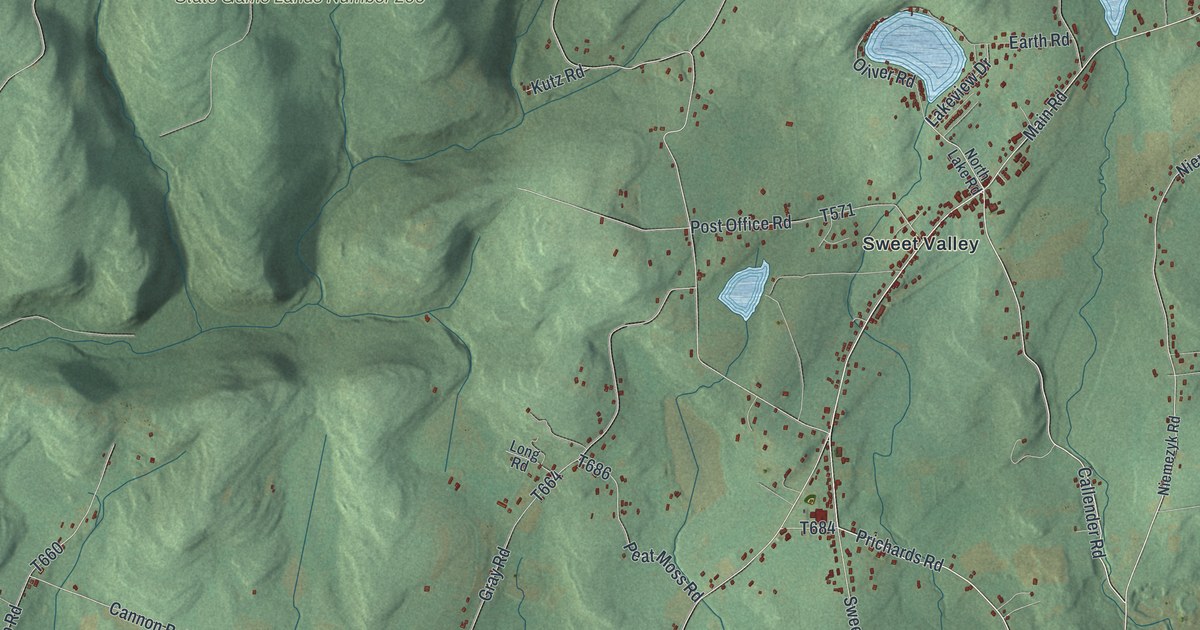
This beautifully detailed map of Ross, Luzerne County, Pennsylvania was created in 2026 using aerial imagery combined with modern topographical, census, street and landmark data. It’s a one-of-a-kind view of Ross that combines accurate data with a vintage aesthetic. The map shows every building in its true location, many of the roads carry their names, and the shaded topographic relief shows the shape of the land.
Explore an aerial view of Ross, Luzerne County, Pennsylvania
On the map you’ll find State Game Lands Number 206, Bloomingdale, Broadway, Kyttle, Sweet Valley, and Weintz, along with Prichards Road, Callender Road, Main Road, Grassy Pond Road, Sweet Valley Road, Hunlock Harveyville Road, and more. If you look closely you can even find your house accurately drawn in its correct location. Zoom in on the preview to look for yours.
Did you know this piece of Ross, Luzerne County, Pennsylvania history?
From the 1893 History of Luzerne County, Pennsylvania: "Archibald Berth, a Revolutionary soldier, who escaped from the British service, came in 1800 and lived on his farm till he died in 1820."
Take a closer look at the Ross, Luzerne County map
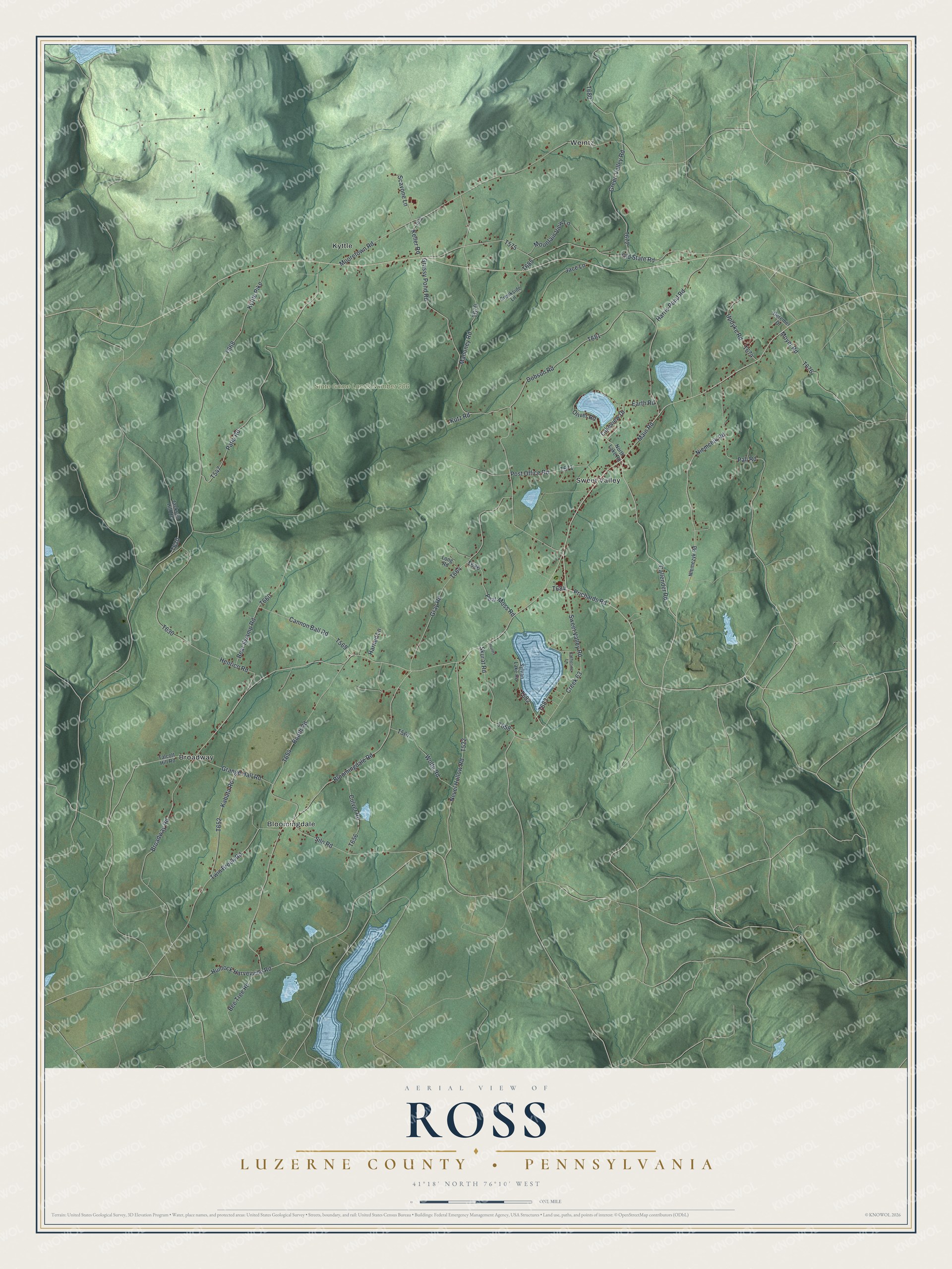
Street and place names on the Ross, Luzerne County, Pennsylvania map
These names are printed on the map of Ross, Luzerne County, Pennsylvania.
Places: State Game Lands Number 206, Bloomingdale, Broadway, Kyttle, Sweet Valley and Weintz.
Streets and roads: Prichards Road, Callender Road, Main Road, Grassy Pond Road, Sweet Valley Road, Hunlock Harveyville Road, Old State Road, Creek 63, Moyer Road, Broadway Road, Patla Road, Mooretown Road.
More street names, A to Z
Bear Swamp Road, Bee Tree Road, Bloomingdale Road, Booth Road, Cannon Ball Road, Catherine Lane, Creekside Lane, Culver Road, Deremer Drive, Dobson Road, Earth Road, Grange Hall Road, Gray Road, Green Valley Road, Harned Lane, Harris Pond Road, Henrico Road, Jace Lane, Jackson Hill Road, Kabata Road, Keller Road, Kutz Road, Kyttle Pike, Lakeview Drive, Long Road, Mahoney Road, Mountain View Lane, Nevel Hollow Road, Niemchik Road, Niemezyk Road, North Lake Road, Oliver Road, Pall Road, Peat Moss Road, Post Office Road, Prvtdrv, Scavone Lane, Silo Road, Skurat Road, Sylvan Lake Road, Talcott Hill Road, Twin Brook Road, Updyke Road, Wolfe Road.
See the Ross, Luzerne County, Pennsylvania map on a wall
The Ross, Luzerne County map as an 18 x 24 inch print in a black frame.

This beautifully detailed map of Ross, Luzerne County makes an attractive addition to your office, library, or den, and it can even be used to teach children the geography and history of the area. It also makes a great gift for someone who left Ross and still calls it home. When you’re done exploring, click here to get your copy of the Ross, Luzerne County map.