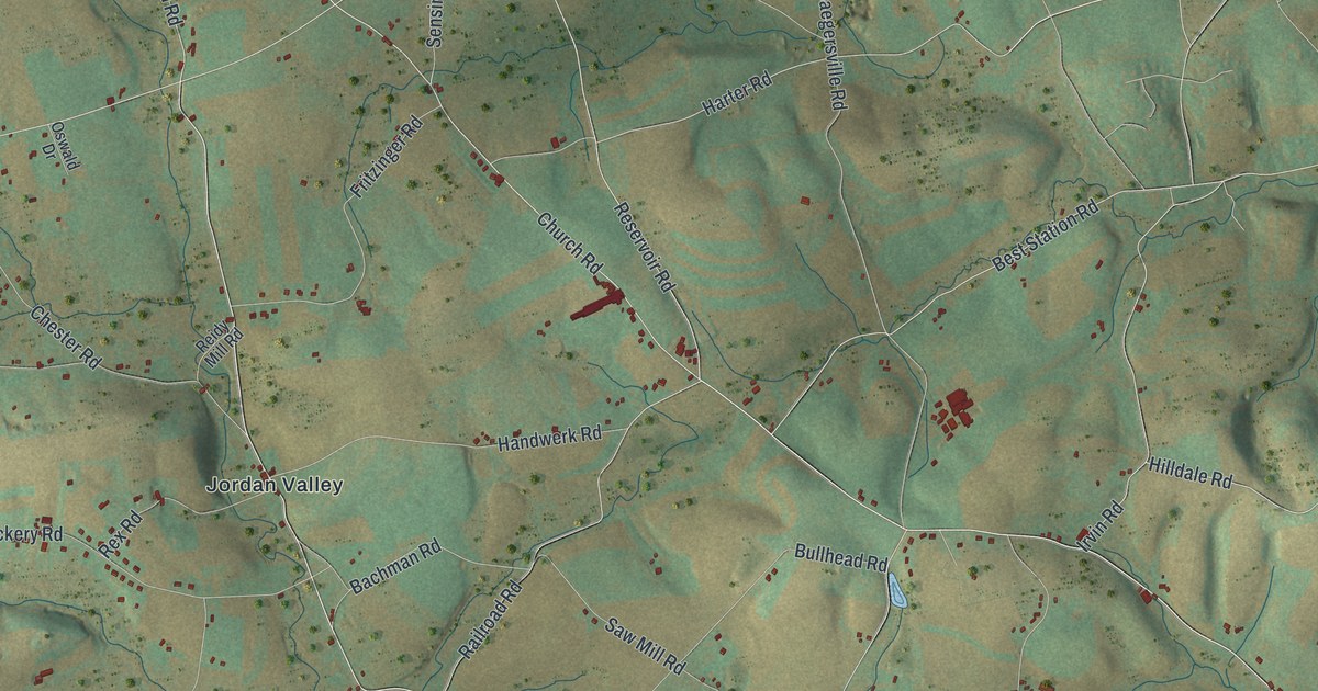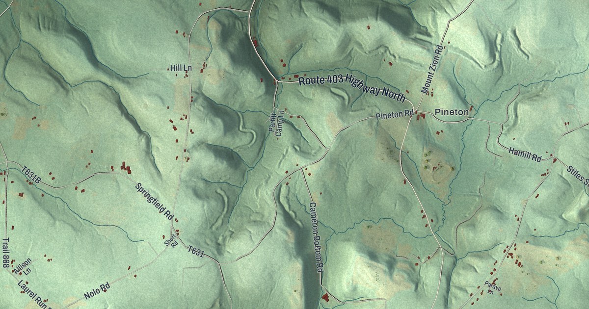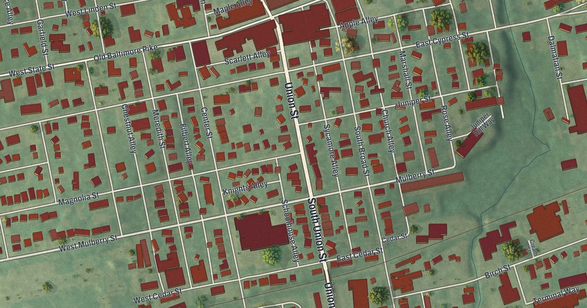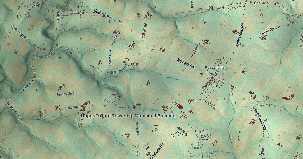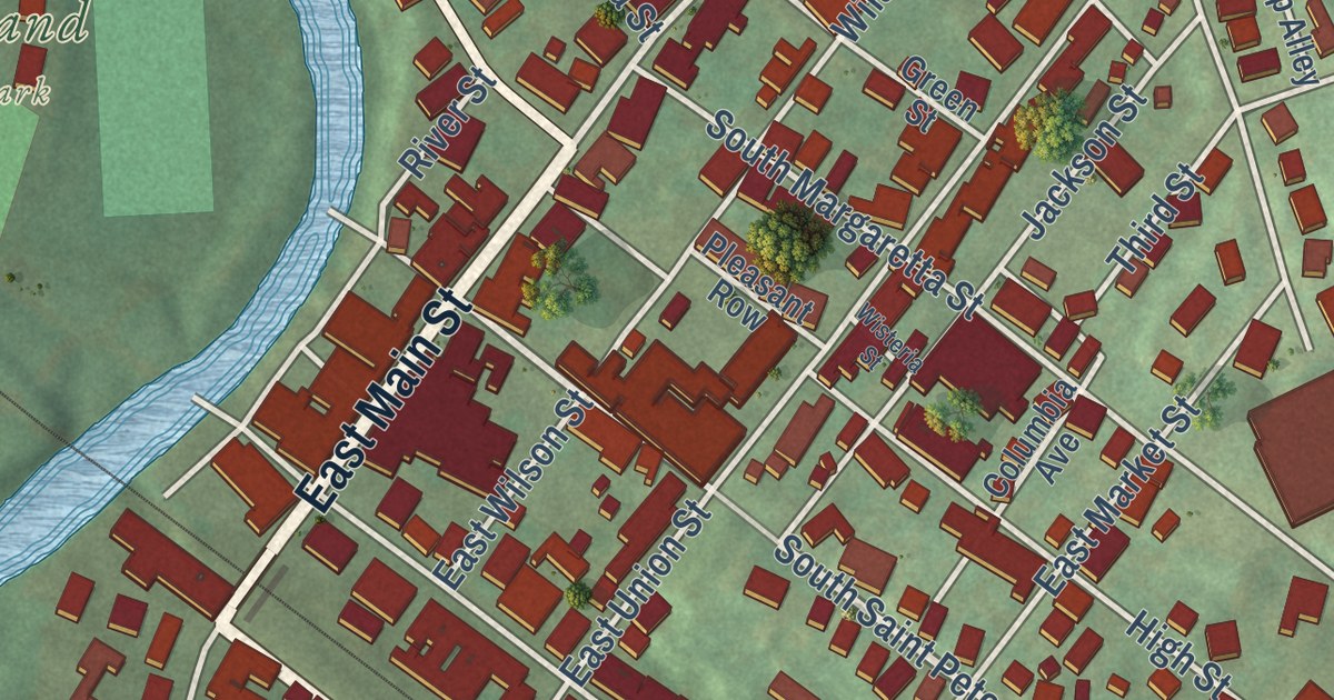
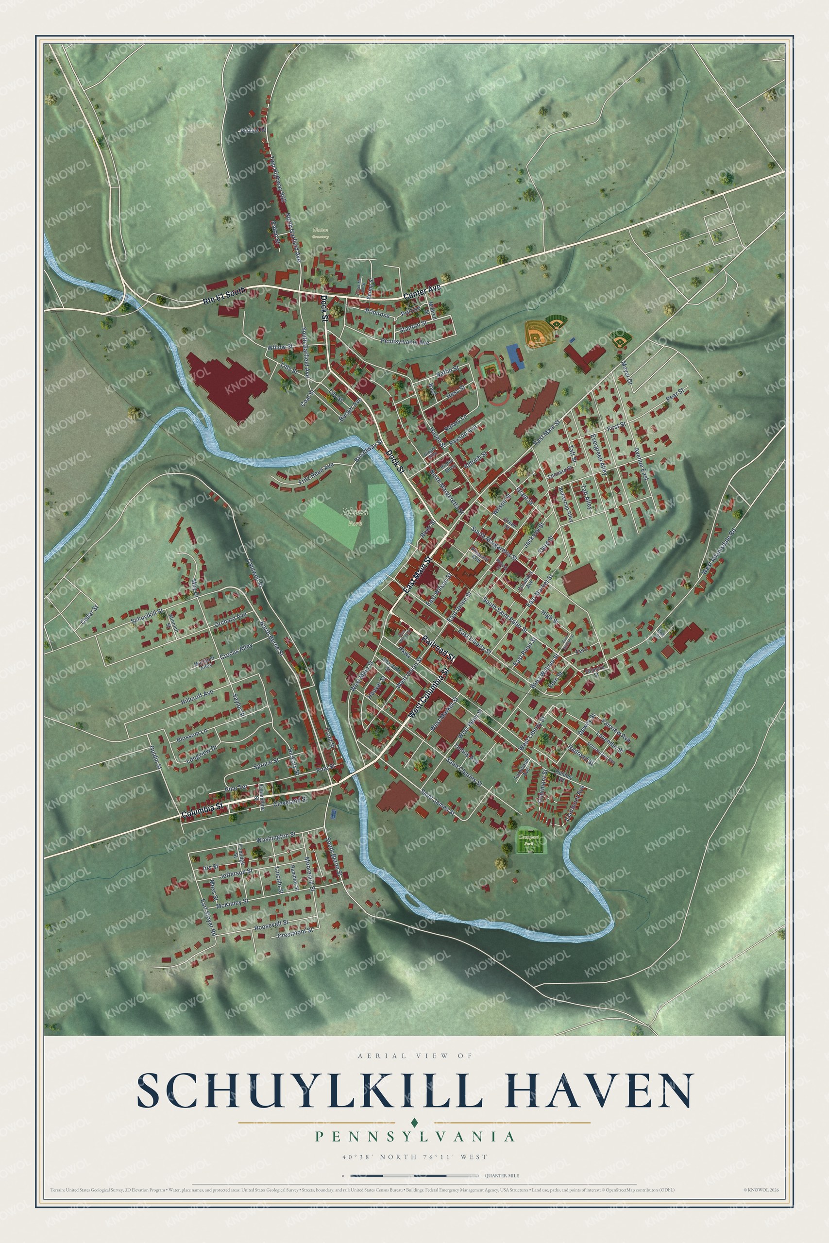
This beautifully detailed map of Schuylkill Haven, Pennsylvania was created in 2026 using aerial imagery combined with modern topographical, census, street and landmark data. It’s a one-of-a-kind view of Schuylkill Haven that combines accurate data with a vintage aesthetic. The map shows every building in its true location, many of the roads carry their names, and the shaded topographic relief shows the shape of the land.
Explore an aerial view of Schuylkill Haven, Pennsylvania
On the map you’ll find Schuylkill Haven Borough Hall, Island Park, Bubeck Park, Union Cemetery, and Compost Park, along with West Columbia Street, East Main Street, Railroad Street, Columbia Street, Center Avenue, Dock Street, North Berne Street, and more. If you look closely you can even find your house accurately drawn in its correct location. Zoom in on the preview to look for yours.
Did you know this piece of Schuylkill Haven, Pennsylvania history?
From the History of Schuylkill County: "In 1811 Jacob Dreibelbeis laid out the town of Schuylkill Haven, but that part of the village known as East Schuylkill Haven, was not laid out until 1832, the Daniel Dreibelbeis farm having passed into the hands of Dr. Kugler, who laid out that portion of the town."
Take a closer look at the Schuylkill Haven map
Street and place names on the Schuylkill Haven, Pennsylvania map
These names are printed on the map of Schuylkill Haven, Pennsylvania.
Places: Island Park, Union Cemetery and Compost Park.
Streets and roads: West Columbia Street, East Main Street, Railroad Street, Columbia Street, Center Avenue, Route 61 South, Dock Street, North Berne Street, South Saint Peter Street, West Liberty Street, Saint James Street, Guldin Street.
More street names, A to Z
Aldrich Street, Avenue East, Bast, Berger Avenue, Blossom Lane, Broadway Street, Buttercup Alley, Caldwell Street, Cedar Street, Clairmont Avenue, Clairmont Street, Cleveland Street, Coal Street, Columbia Avenue, Columbine Street, Coolidge Street, Crestmont Street, Crocus Alley, Dewey Street, Earl Stoyer Road, East Liberty Street, East Market Street, East Penn Street, East Union Street, East William Street, East Wilson Street, Eaton Street, Evergreen Alley, Fairview Avenue, Fern, Fern Street, Fernwood Avenue, Fillmore Street, First Street, Forget-Me Not Street, Fritz Reed Avenue, Front Street, Ginger Alley, Grant Street, Green Street, Haven Street, Hess Street, Hickory Street, High Street, Hillcroft Avenue, Holiday Drive, Hoover Street, Iris Street, Jackson Street, Jefferson Street, Lavender Street, Leonard Street, Lilly Street, Lily Street, Lincoln Street, Longview Drive, Marigold Alley, May Drive, McKinley Street, Mildred Street, Minnich Street, Moorenoll Street, Moss Street, Moyer Drive, Naffin Street, North Garfield Avenue, North Margaretta Street, Orchard Avenue, Parkway, Paxson Avenue, Pear Street, Pennsylvania Avenue, Phillips Road, Pine Street, Pine Terrace, Pleasant Row, Polk Street, Primrose, Prirose, Rambler Street, River Street, Roosevelt Street, Rotary Lane, Saint Charles Street, Saylor Street, Schumacher Avenue, Schuylkill Street, Sharadin Street, South Berne Street, South Garfield Avenue, South Margaretta Street, Spring Street, Spruce Street, Stanton Street, Taft Alley, Taft Street, Tennis Avenue, Third Street, Twp Highway 692, Violet Alley, Washington Street, West Adamsdale Road, West Main Street, West Market Street, West Penn Street, West Union Street, West William Street, West Wilson Street, Willow Street, Wilson Street, Wisteria Street.
See the Schuylkill Haven, Pennsylvania map on a wall
The Schuylkill Haven map as an 18 x 24 inch print in a black frame.

This beautifully detailed map of Schuylkill Haven makes an attractive addition to your office, library, or den, and it can even be used to teach children the geography and history of the area. It also makes a great gift for anyone who grew up in Schuylkill Haven or moved away. When you’re done exploring, click here to get your copy of the Schuylkill Haven map.