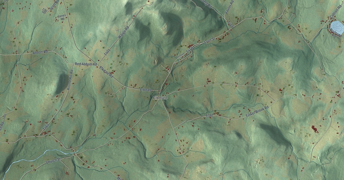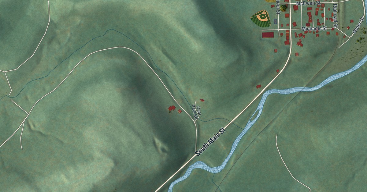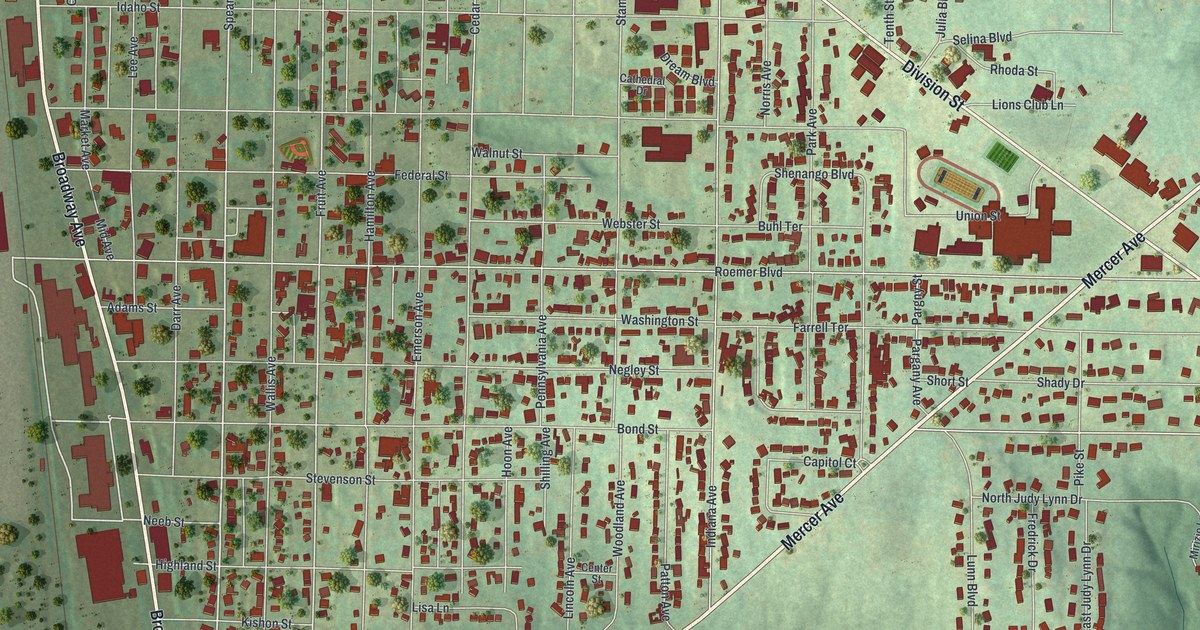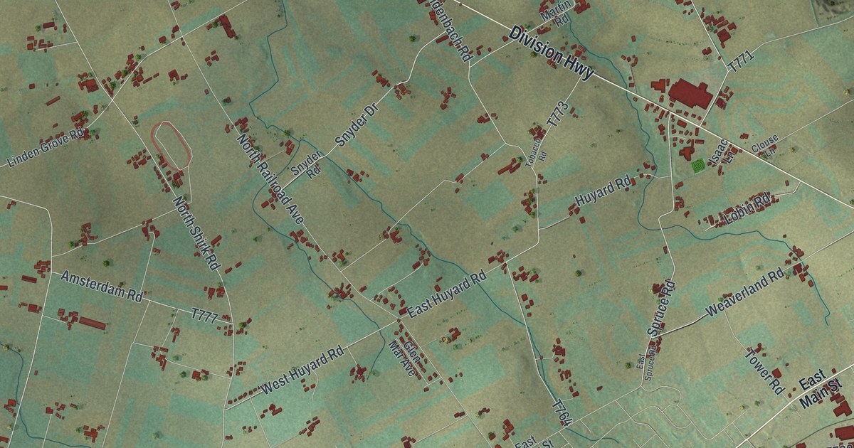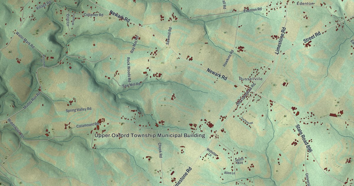
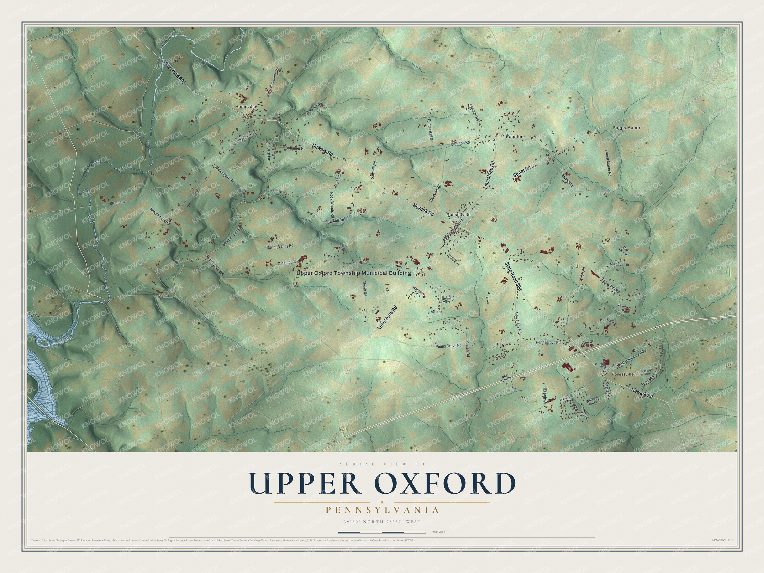
This beautifully detailed map of Upper Oxford, Pennsylvania was created in 2026 using aerial imagery combined with modern topographical, census, street and landmark data. It's a modern aerial view of Upper Oxford in Chester County, Pennsylvania, that combines modern data with a vintage aesthetic. The roads feature printed names, and if you look closely you can find your exact house accurately shown in its correct location.
Explore an aerial view of Upper Oxford, Pennsylvania
On this map you'll find Upper Oxford Township Municipal Building, Forestville, Homeville, Edenton, Faggs Manor, Russellville, Newark Road, State Road 896, Limestone Road, Street Road, Ray Mar Road, Muddy Run Road, and more. Each red shape is a building, so zoom in on the preview and look for yours.
Every town has a first chapter, and Upper Oxford is no exception. The Historical Marker Database puts it this way: "One of five one room schools of Upper Oxford Township. Only one with original brick construction. Upper Oxford Township Municipal Building since 1964."
Upper Oxford is a place in Chester County. The Census Bureau counted 2,560 people here in 2020.
Take a closer look at the Upper Oxford map
Names on this map
These names are printed on this map.
Places: Upper Oxford Township Municipal Building, Forestville, Homeville, Edenton, Faggs Manor and Russellville.
Streets and roads: Newark Road, State Road 896, Limestone Road, Street Road, Ray Mar Road, Muddy Run Road, Homeville Road, Forest Manor Road, Catamount Road, Pusey Mill Road, Edenton Road, Ewing Road.
More street names, A to Z
Alice Lane, Biddle Lane, Brown Lane, Center Hall Road, Cheek Road, Collamer Road, Crist Lane, Cullen Road, Dalin Drive, Draper Lane, Forestville Road, Glenville Road, Grist Mill Lane, Hall Road, Hawkins Road, Kimble Road, Leaman Road, Log House Road, Marie Lane, Millrace Lane, Mist View Lane, Newcomers Road, Old Limestone Road, Pennsgrove Road, Penns Grove Road, Randy Lane, Rock Woods Road, Saw Mill Road, Sawmill Road, Spotts Way, Spring Valley Road, Turners Pond Drive, University Road, Village Road, Water Mark Road, Watermark Road, Webb Road, Webster Lane, West Baltimore Pike, West Hall Road, Widdowson Road, Willard Lane, Wilson Drive, Windemere Lane.
See it on a wall
The Upper Oxford map as a framed print. Swipe for more.


Created by KNOWOL in 2026. The buildings are small red shapes, the roads carry their printed names, and shaded relief shows the shape of the land. The title panel reads "AERIAL VIEW OF UPPER OXFORD, PENNSYLVANIA" with 39°50' NORTH 75°57' WEST.
Hang it in the hallway, the office or the cabin, or give it to someone who left Upper Oxford and still calls it home. Open the preview and look for a street you know. See sizes and frames for the Upper Oxford map.