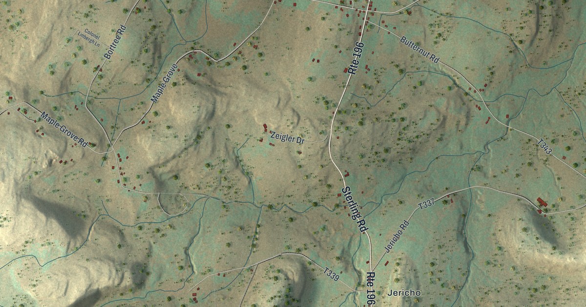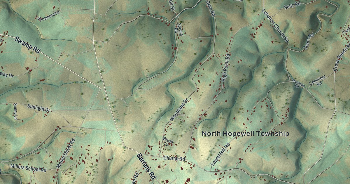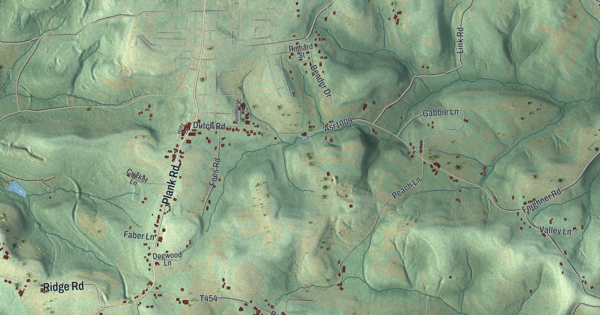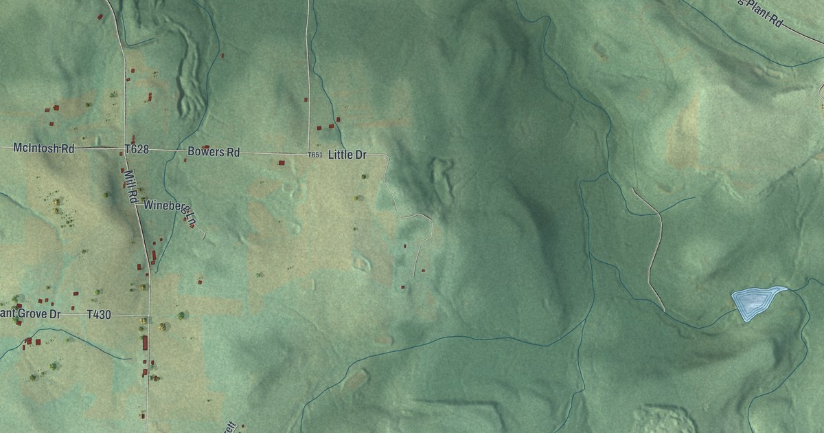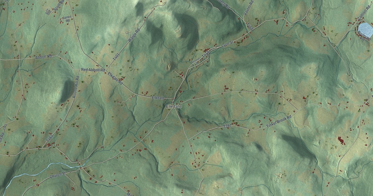
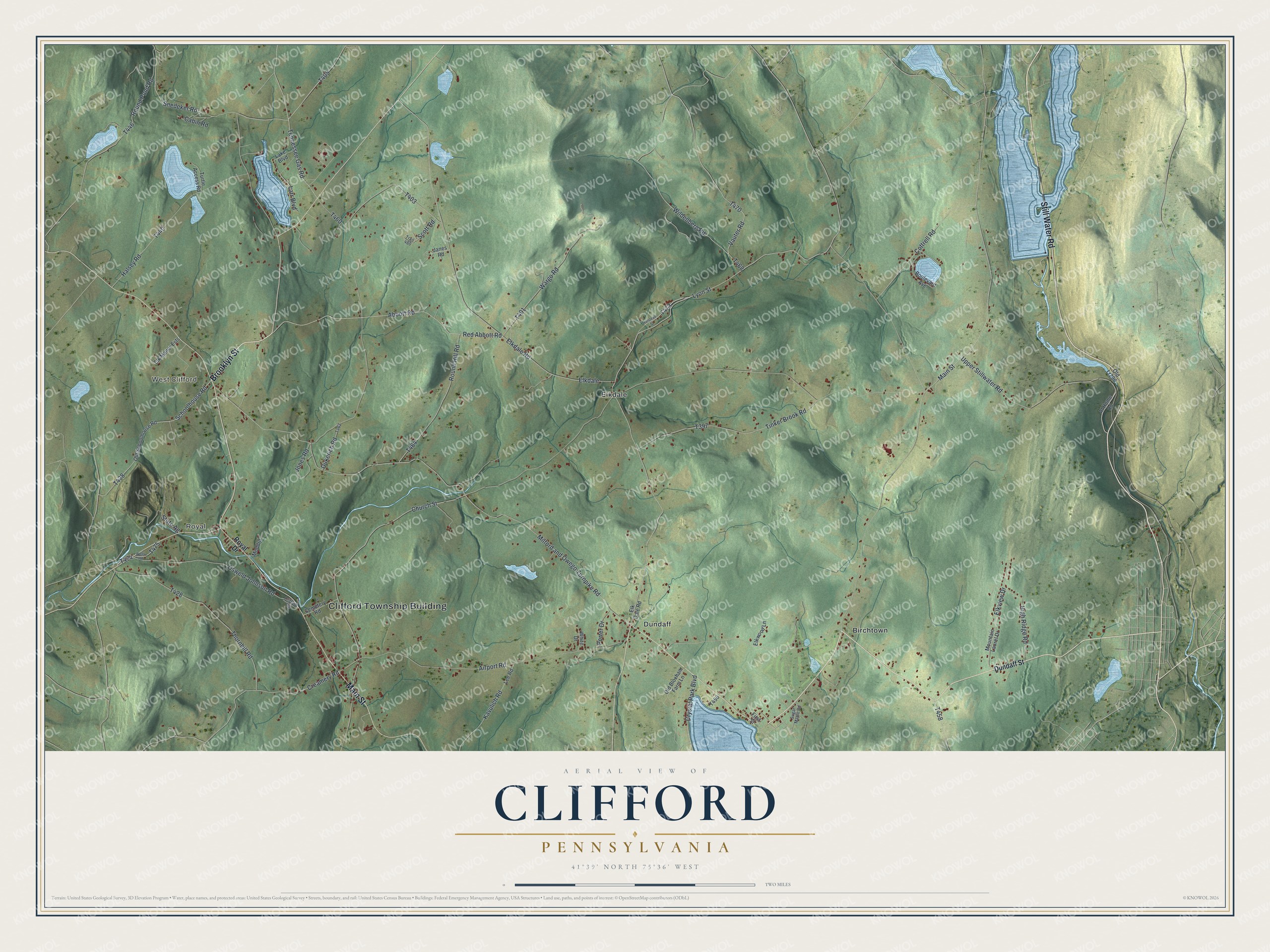
This beautifully detailed map of Clifford, Pennsylvania was created in 2026 using aerial imagery combined with modern topographical, census, street and landmark data. It's a modern aerial view of Clifford in Susquehanna County, Pennsylvania, that combines modern data with a vintage aesthetic. The roads feature printed names, and if you look closely you can find your exact house accurately shown in its correct location.
Explore an aerial view of Clifford, Pennsylvania
On this map you'll find Clifford Township Building, Royal, West Clifford, Birchtown, Dundaff, Elkdale, Still Water Road, Brooklyn Street, Main Street, T470, Creamery Road, Abbott Road, and more. Each red shape is a building, so zoom in on the preview and look for yours.
Every town has a first chapter, and Clifford is no exception. The Clifford Township puts it this way: "The picnic is a local institution and a fund raising event for the Clifford Township Volunteer Fire Department. The first picnic was held August 1949. To eliminate the need to erect stands and tents each year, the Fire Company purchased 21 acres of land including a small pond, and built permanent structures."
Clifford is a place in Susquehanna County. The Census Bureau counted 2,097 people here in 2020.
Take a closer look at the Clifford map
Names on this map
These names are printed on this map.
Places: Clifford Township Building, Royal, West Clifford, Birchtown, Dundaff and Elkdale.
Streets and roads: Still Water Road, Brooklyn Street, Main Street, Creamery Road, Abbott Road, Wildenberg Road, Larr Boulevard, Tennessee Gas Road, Elkdale Road, Jones Road, Lyon Street, Milford and Owego Turnpike Road.
More street names, A to Z
Airport Road, At Home Road, Boulevard Avenue, Cabin Road, Cemetery Road, Church Street, Clifford Road, Cottrell Road, Crystal Park Boulevard, Dukerich Road, Dundaff Street, Elk Dale Road, Elk Manor Ests, Elkview Drive, Elkwood Lane, First Street, Halsey Road, Halstead Street, High Ridge Road, Janes Road, Kavulich Road, Lake Boulevard, Lee Road, Mountain Laurel Drive, Muddrd, Old Bloxham Farm Lane, Old Lr296, Old Schoolhouse Road, Osweld Johnson Road, Porter Drive, Red Abbott Road, Round Hill Road, Round Pond Road, Royal Drive, Schoolhouse Road, Scott Road, Snedeker Road, State Ag, Sugar Maple Road, Thornhill Road, Tinker Brook Road, Trail 480, Turtle Access Road, Upper Stillwater Road, Vauter Road, Wargo Road, Wells Road, White Drive.
Created by KNOWOL in 2026. The buildings are small red shapes, the roads carry their printed names, and shaded relief shows the shape of the land. The title panel reads "AERIAL VIEW OF CLIFFORD PENNSYLVANIA" with 4, 1, °, 3, 9, ', , N, O, R, T, H, , 7, 5, °, 3, 6, ', , W, E, S, T.
Hang it in the hallway, the office or the cabin, or give it to someone who left Clifford and still calls it home. Open the preview and look for a street you know. See sizes and frames for the Clifford map.