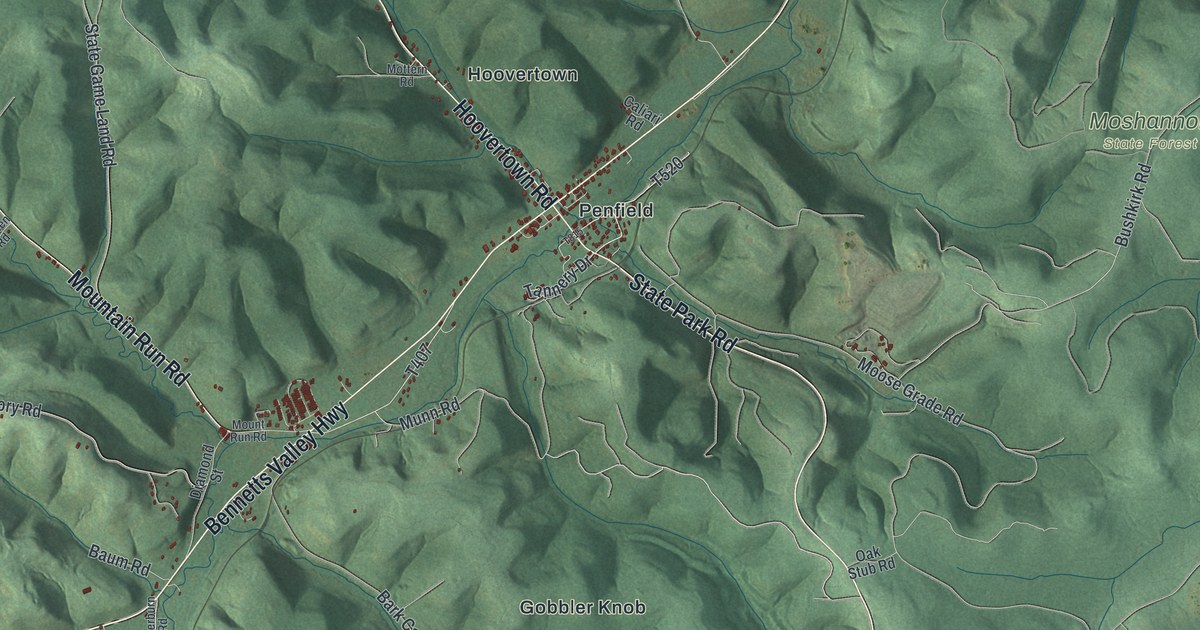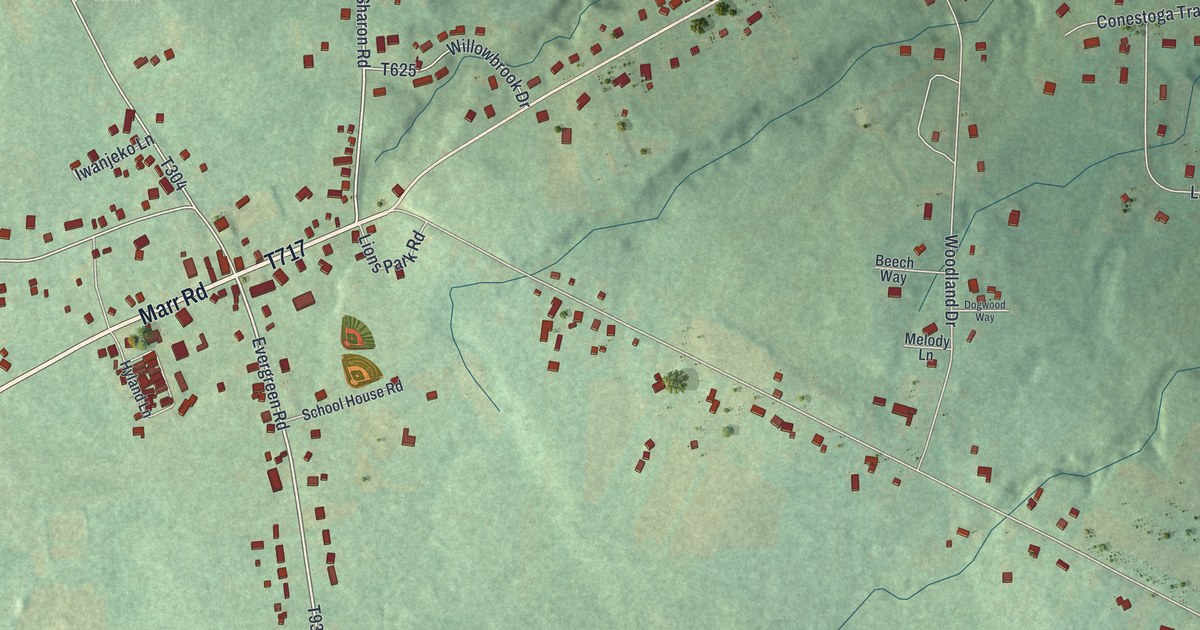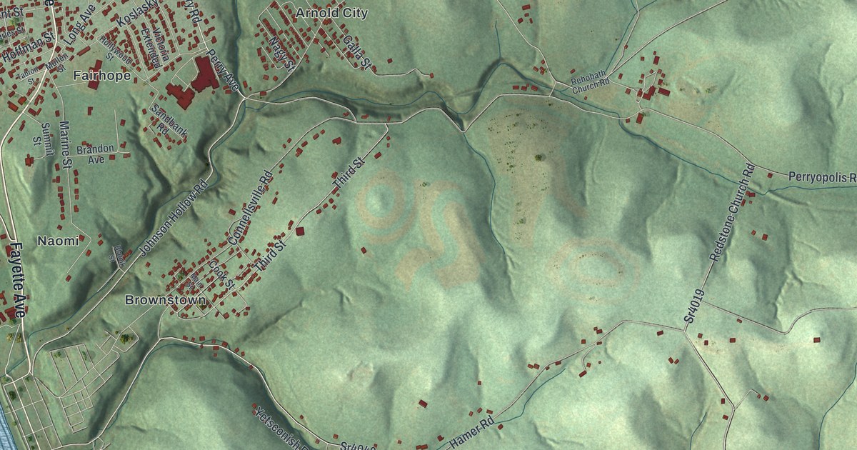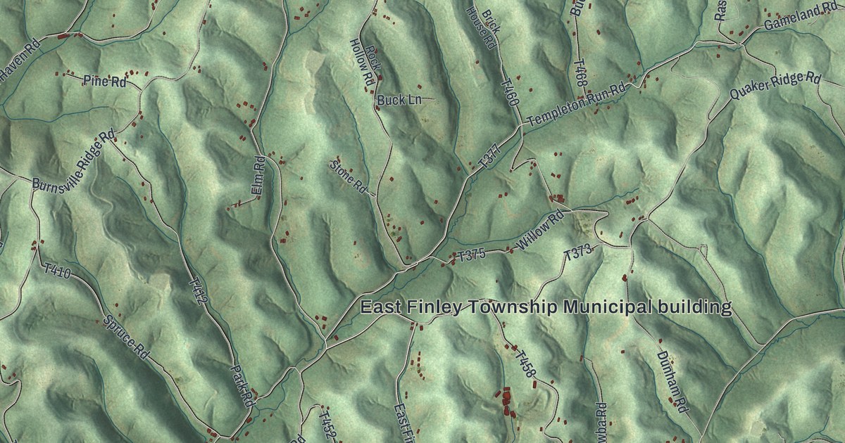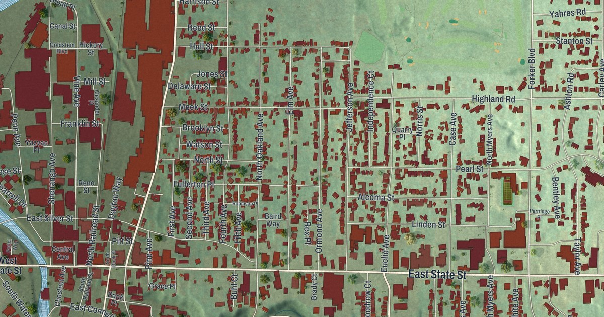
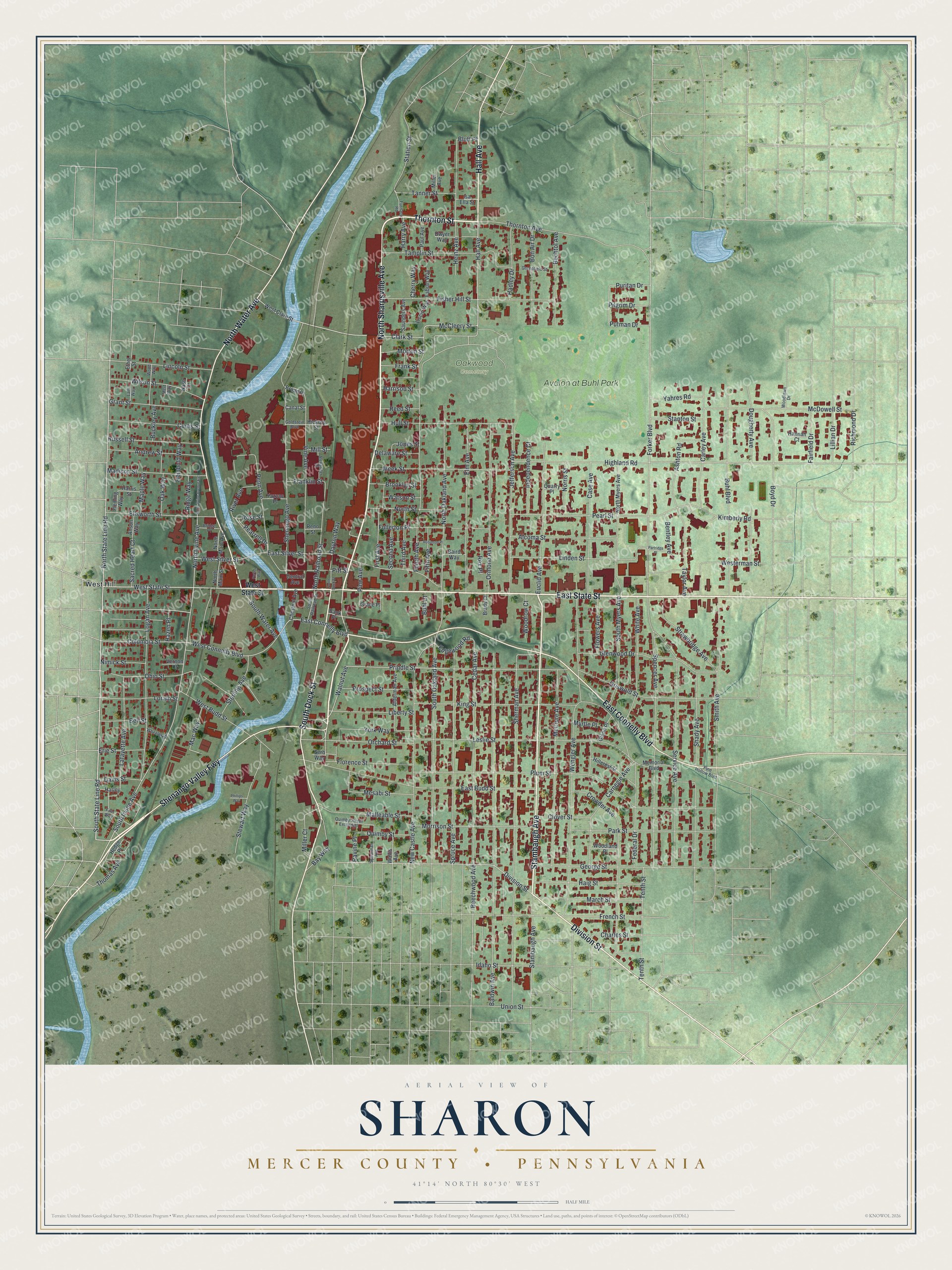
This beautifully detailed map of Sharon, Mercer County, Pennsylvania was created in 2026 using aerial imagery combined with modern topographical, census, street and landmark data. It’s a one-of-a-kind view of Sharon that combines accurate data with a vintage aesthetic. The map shows every building in its true location, many of the roads carry their names, and the shaded topographic relief shows the shape of the land.
Explore an aerial view of Sharon, Mercer County, Pennsylvania
On the map you’ll find Oakwood Cemetery, West Hill, Avalon at Buhl Park, and Shenango Valley Fwy, along with East State Street, North Sharpsville Avenue, Thornton Street, Stambaugh Avenue, Hall Avenue, North Water Avenue, Division Street, South Dock Street, and more. If you look closely you can even find your house accurately drawn in its correct location. Zoom in on the preview to look for yours.
Did you know this piece of Sharon, Mercer County, Pennsylvania history?
From the History of Mercer County: "William Budd laid out and platted Sharon in the year 1815, on the west side of the river. During his life-time he erected four different dwellings on his land."
Take a closer look at the Sharon, Mercer County map
Street and place names on the Sharon, Mercer County, Pennsylvania map
These names are printed on the map of Sharon, Mercer County, Pennsylvania.
Places: Oakwood Cemetery, West Hill and Avalon at Buhl Park.
Streets and roads: East State Street, Shenango Valley Fwy, North Sharpsville Avenue, Thornton Street, Stambaugh Avenue, Hall Avenue, North Water Avenue, Division Street, South Dock Street, East Connelly Boulevard, West State Street, South State Line Road.
More street names, A to Z
Alcoma Street, Alderman Avenue, Alexander Place, Andrew Street, Anson Way, Ashton Road, Baird Way, Baldwin Avenue, Bank Place, Bay Way, Bechtol Avenue, Beechwood Avenue, Bell Street, Bentley Avenue, Bluff Place, Bon Air Drive, Boyd Drive, Brady Court, Bridge Place, Broad Place, Brooklyn Street, Buckley Avenue, Buhl Boulevard, Buhl Court, Canal Street, Carley Avenue, Carnegie Avenue, Case Avenue, Cedar Avenue, Central Avenue, Charles Street, Cherry Way, Chestnut Avenue, Clark Street, Clover Street, Columbia Street, Crowder Avenue, Curtis Street, Davis Street, Dayton Way, Delaware Street, Dougherty Avenue, Dwyer Way, East Budd Street, East Silver Street, Edgewood Road, Ellsworth Street, Elm Avenue, Erie Street, Ethel Street, Euclid Avenue, Fabian Way, Fairfield Drive, Federal Drive, Fifth Avenue, Filer Way, First Avenue, Fisher Hill Street, Fleming Way, Florence Street, Flowers Avenue, Forker Boulevard, Fourth Avenue, Franklin Street, Frank Street, French Street, Fullerton Place, Furnace Road, George Street, Glenn Place, Glenwood Drive, Goldstein Boulevard, Grace Place, Grant Street, Greenfield Street, Griswold Street, Hadley Drive, Haig Street, Hannah Court, Harley, Harrison Street, Harris Street, Harry Avenue, Hazen Place, Hedge Place, Heinz Avenue, Hembold Way, Hickory Street, Highland Road, Hillcrest Street, Hull Street, Idaho Street, Independence Court, Isa Ella Street, Jefferson Avenue, Jones Street, Kimberly Road, King Street, Lafayette Avenue, Lark Way, Leslie Street, Liberty Street, Lillian Drive, Lincoln Street, Linden Street, Liscio Way, Logan Avenue, Lorain Street, Mac Way, Madison Street, Malleable Street, Maple Way, March Street, McCleery Street, McClure Avenue, McDowell Street, Meek Street, Memorial Boulevard, Mert Way, Mesabi Street, Miller Avenue, Miller Court, Mill Street, Morrison Street, Morton Street, Myrtle Place, Nash Court, New Castle Avenue, Nimick Street, Norris Street, North Dock Street, North Irvine Avenue, North Irvine Avenue Extension, North Main Avenue, North Main Street, North Myers Avenue, North Oakland Avenue, North Railroad Street, North State Line Road, North Street, Oak Way, Ohio Street, Orchard Street, Ormond Avenue, Park Street, Partridge Place, Paul Avenue, Pearl Street, Pearrell Drive, Penn Avenue, Phillips Way, Pilgrim Drive, Pine Avenue, Pine Hollow Boulevard, Pitt Street, Plum Street, Porter Way, Prindle Street, Prospect Street, Puritan Drive, Putman Drive, Quarry Place, Quimby Street, Quimby Street Extended, Ravine Place, Reed Street, Reno Street, Rex Place, Richmond Drive, Ridge Way, River Avenue, Robinson Place, Rose Street, Russell Street, Sacred Heart Court, Saunders Avenue, Second Avenue, Serb Way, Service Avenue, Shady Avenue, Shenango Avenue, Sherman Avenue, Smith Avenue, South Irvine Avenue, South Myers Avenue, South Oakland Avenue, South Railroad Street, South Water Avenue, Spearman Avenue, Spencer Avenue, Spruce Avenue, Stanton Street, Station Street, Sterling Avenue, Stewart Way, Strawbridge Avenue, Tamplin Street, Tanner Street, Taylor Avenue, Tenth Street, Third Avenue, Thomas Avenue, Thornton Avenue, Union Street, Vernon Court, Vine Avenue, Wallis Avenue, Walnut Avenue, Watson Street, Wengler Avenue, West Budd Street, West Clark Street, West Connelly Boulevard, Westerman Street, West Silver Street, Wheeler Place, White Avenue, Wilson Street, Woodland Place, Woodlawn Drive, Woodrow Court, Wood Way, Yahres Road, Yazvac Place, York Way.
See the Sharon, Mercer County, Pennsylvania map on a wall
The Sharon, Mercer County map as an 18 x 24 inch print in a black frame.

This beautifully detailed map of Sharon, Mercer County makes an attractive addition to your office, library, or den, and it can even be used to teach children the geography and history of the area. It also makes a great gift for anyone who grew up in Sharon or moved away. When you’re done exploring, click here to get your copy of the Sharon, Mercer County map.