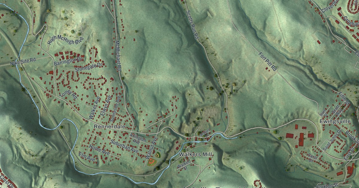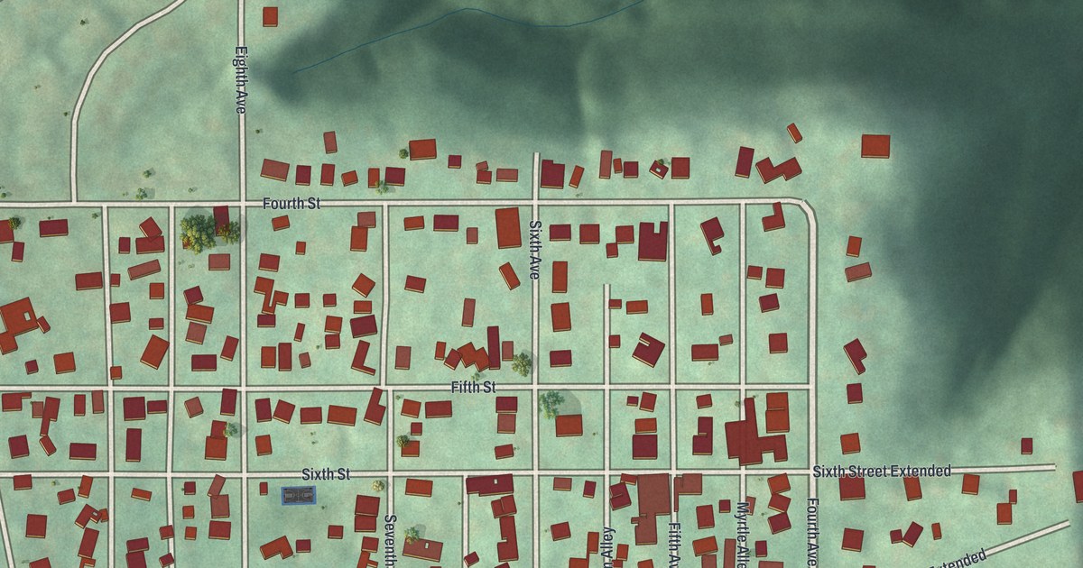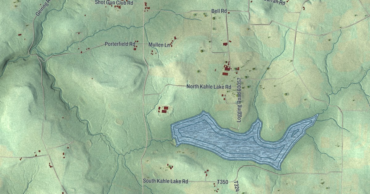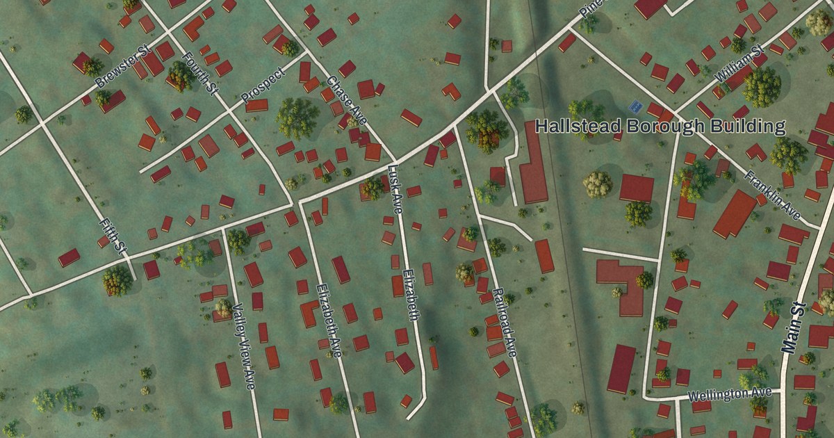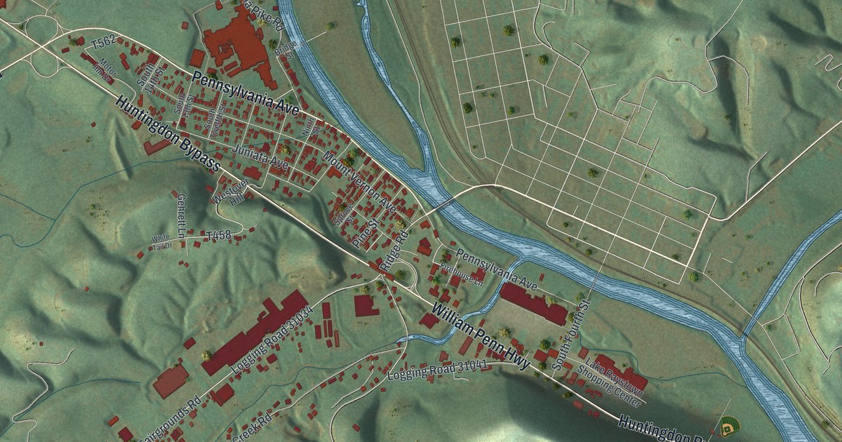
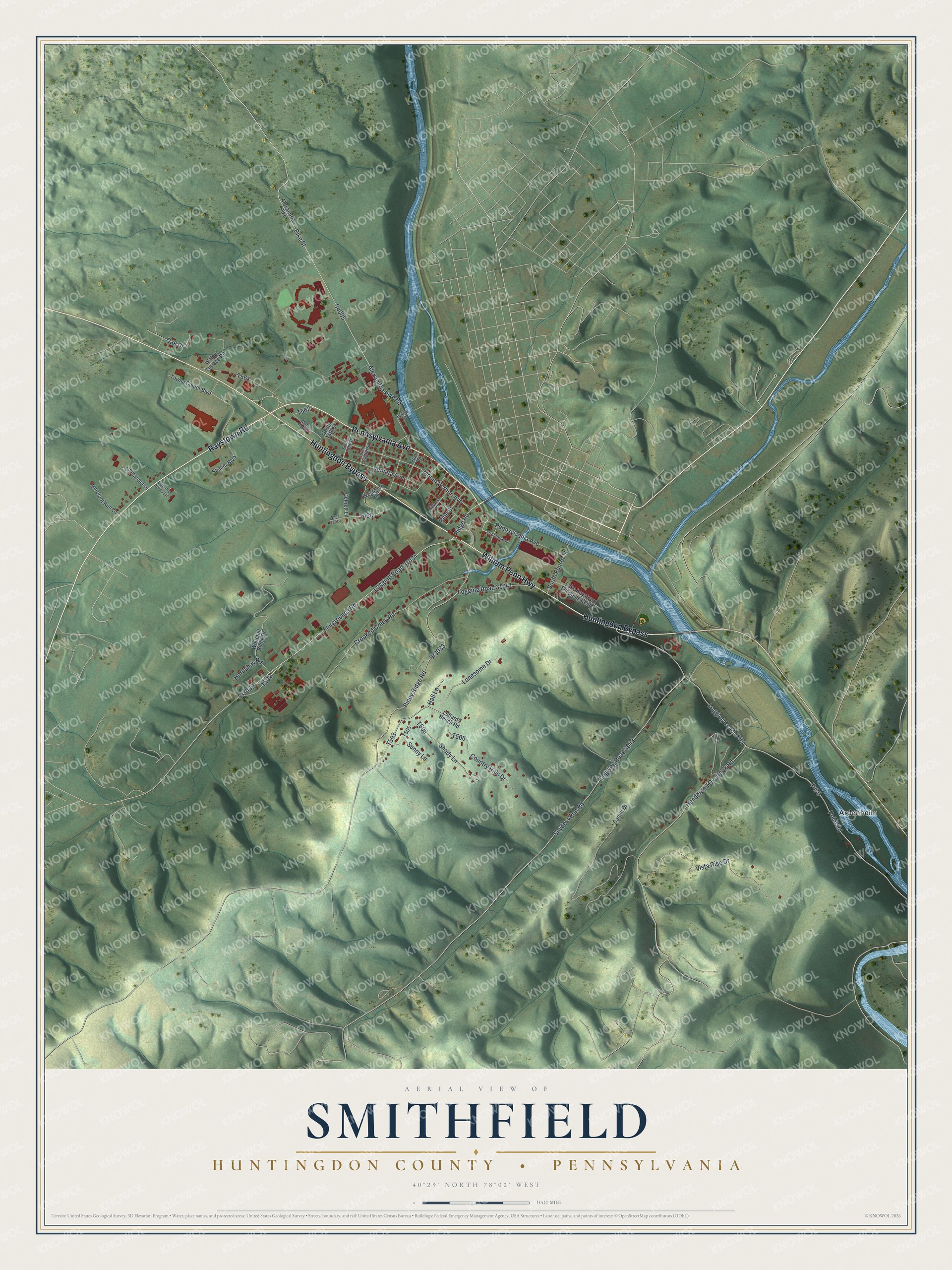
This beautifully detailed map of Smithfield, Huntingdon County, Pennsylvania was created in 2026 using aerial imagery combined with modern topographical, census, street and landmark data. It's a modern aerial view of Smithfield, Huntingdon County in Huntingdon County, Pennsylvania, that combines modern data with a vintage aesthetic. The roads feature printed names, and if you look closely you can find your exact house accurately shown in its correct location.
Explore an aerial view of Smithfield, Huntingdon County, Pennsylvania
On this map you'll find Ardenheim, Raystown Road, Huntingdon Bypass, William Penn Highway, Pennsylvania Avenue, Ridge Road, Alexandria Pike Road, Pike Street, S4005, Logging Road 31034, Sr3039, Logging Road 31041, and more. Each red shape is a building, so zoom in on the preview and look for yours.
Here is a piece of Smithfield, Huntingdon County history, in the words of the record. The Pennsylvania Historical and Museum Commission puts it this way: "World War I Governor from 1915-19, one of the most prominent educators of the State, was born a few miles SW, April 14, 1862. Buried in Valley View Cemetery in the same neighborhood. In 1895-1906; 1924-30, he was President Juniata College."
Smithfield, Huntingdon County is a place in Huntingdon County. The Census Bureau counted 4,618 people here in 2020.
Take a closer look at the Smithfield, Huntingdon County map
Names on this map
These names are printed on this map.
Places: Ardenheim.
Streets and roads: Raystown Road, Huntingdon Bypass, William Penn Highway, Pennsylvania Avenue, Ridge Road, Alexandria Pike Road, Pike Street, Logging Road 31034, Sr3039, Logging Road 31041, Oak Drive, Crooked Creek Road.
More street names, A to Z
Alexandria Pike, Barefoot Run Lane, Bridge Street, Cantin Drive, Country Acres Lane, Country Hills Drive, Emmanuel Drive, Fairgrounds Road, Firehouse Lane, Gehrett Lane, Hall Lane, Henderson Overlook Road, Hordubay Road, Juniata Avenue, Lake Raystown Shopping Center, Leffards Bench Road, Logging Road 3043, Logging Road 3045, Lonesome Drive, Motor Inn Drive, Mount Vernon Avenue, Ninth Street, Pine Street, Piney Ridge Road, Point Road, Shady Lane, Shaner Boulevard, Snyders Run Road, South 13th Street, South 14th Street, South Fourth Street, South Twelfth Street, Spruce Street, Sr3033, Sunny Lane, Towne Center Boulevard, Vista Rise Drive, Walnut Terrace Road, Westover Hill, White Tail Drive, Whitetail Ridge Drive.
Created by KNOWOL in 2026. The buildings are small red shapes, the roads carry their printed names, and shaded relief shows the shape of the land. The title panel reads "AERIAL VIEW OF SMITHFIELD HUNTINGDON COUNTY • PENNSYLVANIA" with 4, 0, °, 2, 9, ', , N, O, R, T, H, , 7, 8, °, 0, 2, ', , W, E, S, T.
It suits a den, a classroom or a front hall, and it makes a gift for anyone with Smithfield, Huntingdon County roots. Open the preview and find the block you know. See sizes and frames for the Smithfield, Huntingdon County map.