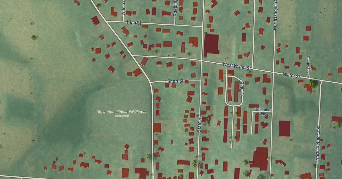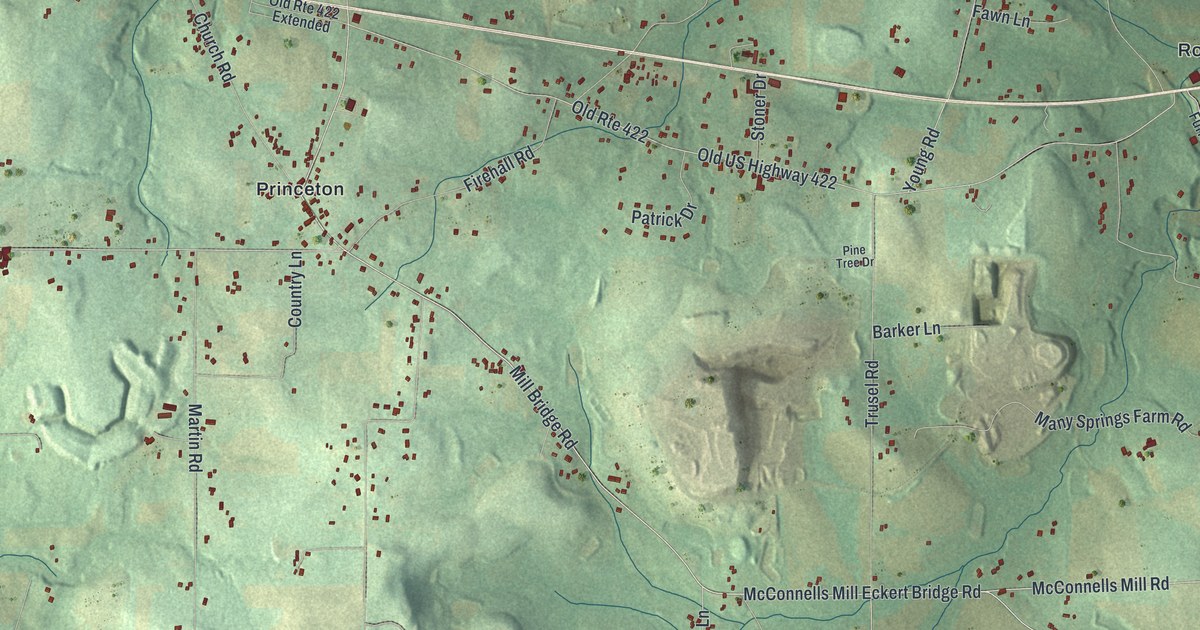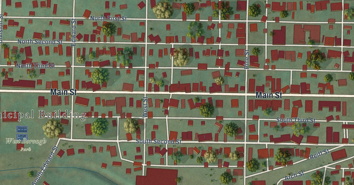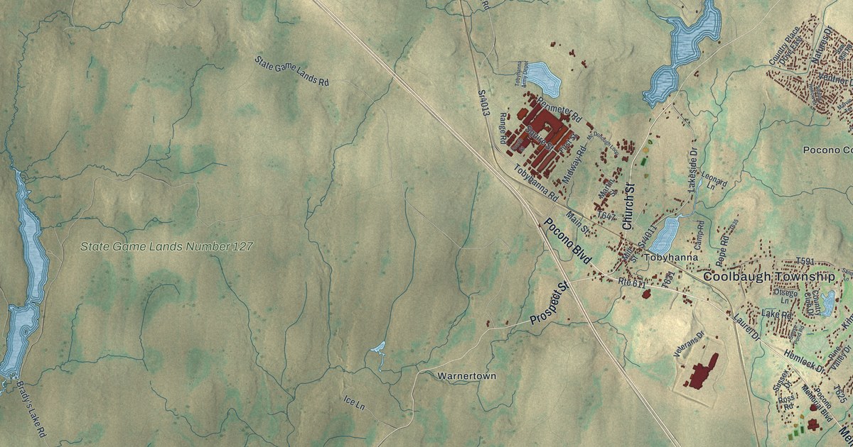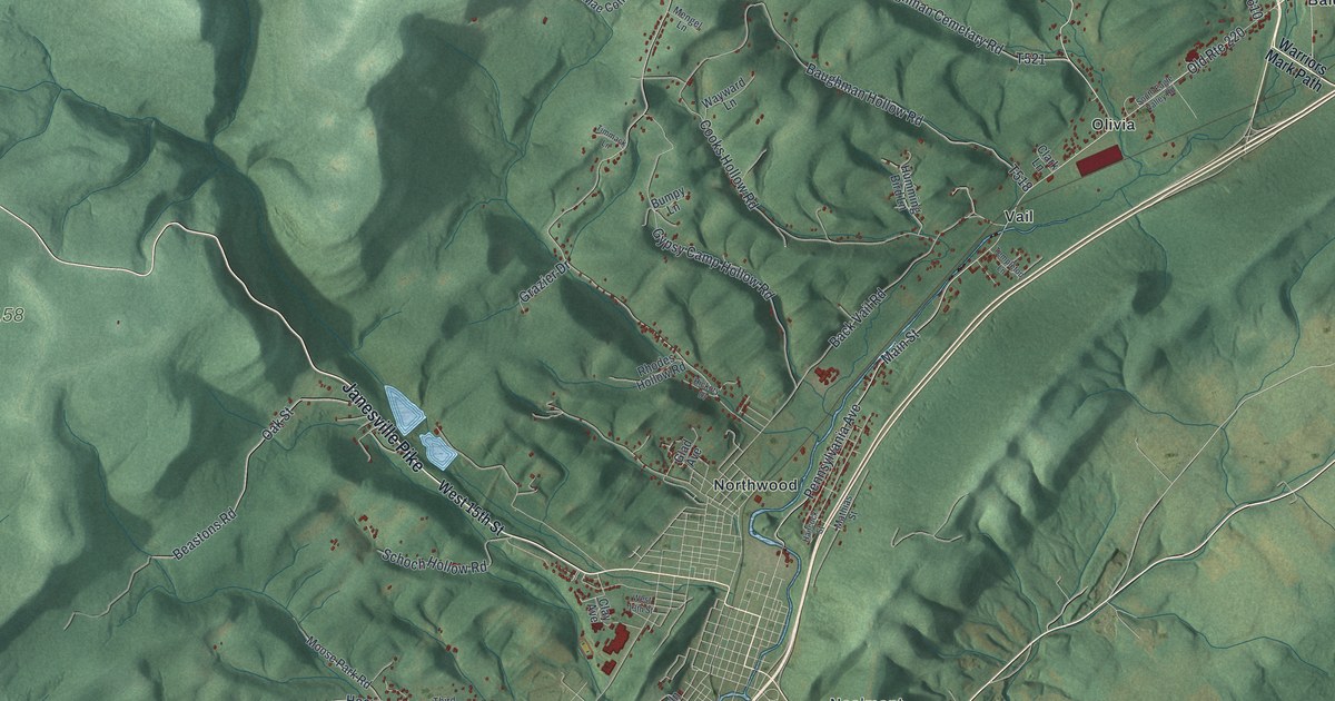
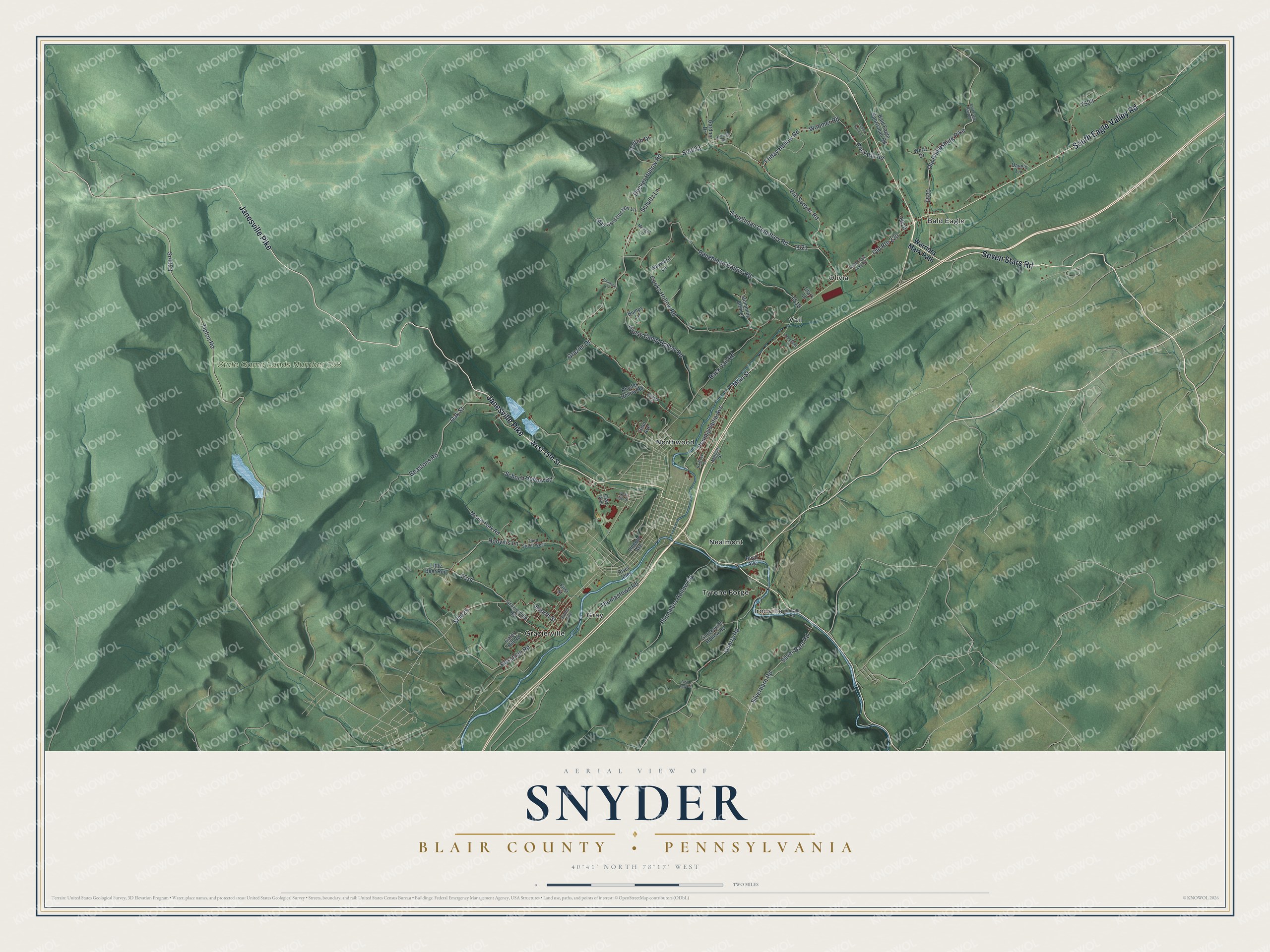
This beautifully detailed map of Snyder, Blair County, Pennsylvania was created in 2026 using aerial imagery combined with modern topographical, census, street and landmark data. It’s a one-of-a-kind view of Snyder that combines accurate data with a vintage aesthetic. The map shows every building in its true location, many of the roads carry their names, and the shaded topographic relief shows the shape of the land.
Explore an aerial view of Snyder, Blair County, Pennsylvania
On the map you’ll find State Game Lands Number 158, Bald Eagle, Gray, Grazierville, Ironville, Nealmont, Northwood, Olivia, Tyrone Forge, and Vail, along with Janesville Pike, Seven Stars Road, and more. If you look closely you can even find your house accurately drawn in its correct location. Zoom in on the preview to look for yours.
Did you know this piece of Snyder, Blair County, Pennsylvania history?
Snyder township holds the far northern point of Blair County. Its western half sits almost wholly on the Allegheny Mountains. Much of its land was prized only for timber. That wood was largely burned up making iron when charcoal furnaces thrived in this part of the state. That’s from the 1911 Twentieth Century History of Altoona.
Take a closer look at the Snyder, Blair County map
Street and place names on the Snyder, Blair County, Pennsylvania map
These names are printed on the map of Snyder, Blair County, Pennsylvania.
Places: State Game Lands Number 158, Bald Eagle, Gray, Grazierville, Ironville, Nealmont, Northwood, Olivia, Tyrone Forge and Vail.
Streets and roads: Janesville Pike, Seven Stars Road, South Eagle Valley Road, Friday Hollow Road, Woomer Road, Sr4033, Van Scoyoc Road, Pennsylvania Avenue, Old Route 220, Decker Hollow Road, Tipton Road, Oak Street.
More street names, A to Z
Back Vail Road, Bald Eagle Pike Road, Bald Eagle Sportsman Road, Baughman Cemetary Road, Baughman Hollow Road, Bear Claw Lane, Beastons Road, Boyd Avenue, Bumpy Lane, Clark Lane, Clay Avenue, Cooks Hollow Road, Dave's Lane, First Street, Fourth Street, Funny Farm Lane, Gardner Drive, Gates Hill Road, Glad Avenue, Grazier Drive, Grazierville Road, Gurekovich Hollow Road, Gypsy Camp Hollow Road, Hancock Street, Hickory Drive, Hoffman Road, Hoovers Lane, Humming Bird Lane, Ironville Road, Lincoln Avenue, Little Beer Run, Mae Construction Lane, Main Street, Mathias Street, Mengel Lane, Moose Park Road, Old Philipsburg Pike, Patton Drive, Peck Hill Road, Plummers Hollow Road, Quarry Road, Rhodes Hollow Road, River Alley, Rossman Road, Sather Avenue, Schoch Hollow Road, Schultz Lane, Silverbarn Road, Silver Barn Road, Sr4023, Sr4025, Templeton Lane, Third Street West, Thomastown Road, Timmack Lane, Warriors Mark Path, Wayward Lane, Wertz Drive, West 13th Street, West 15th Street.
See the Snyder, Blair County, Pennsylvania map on a wall
The Snyder, Blair County map as an 18 x 24 inch print in a black frame.

This beautifully detailed map of Snyder, Blair County makes an attractive addition to your office, library, or den, and it can even be used to teach children the geography and history of the area. It also makes a great gift for someone who left Snyder and still calls it home. When you’re done exploring, click here to get your copy of the Snyder, Blair County map.