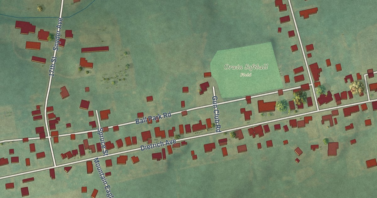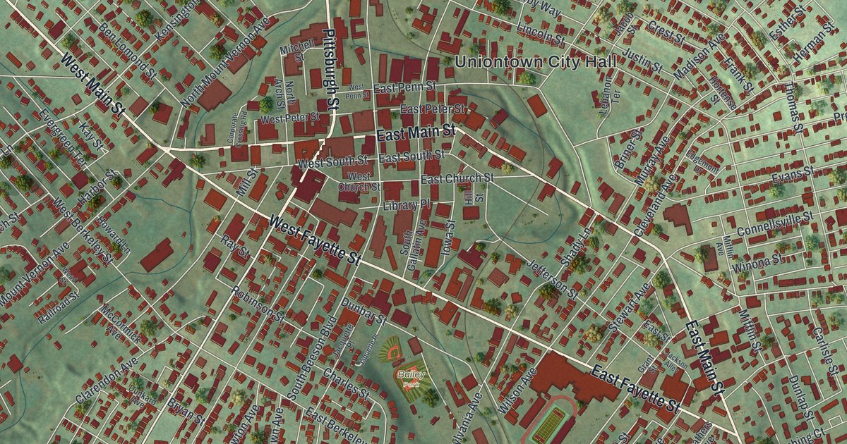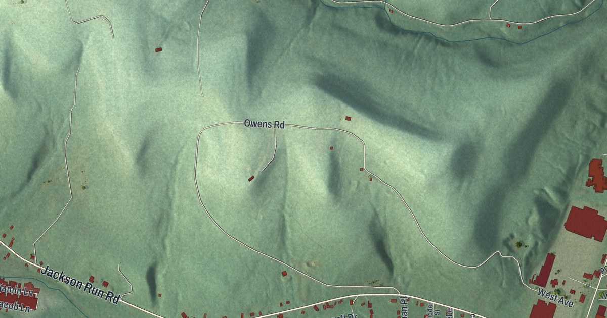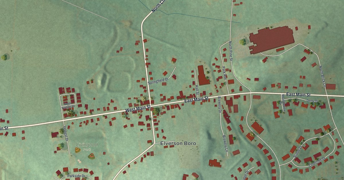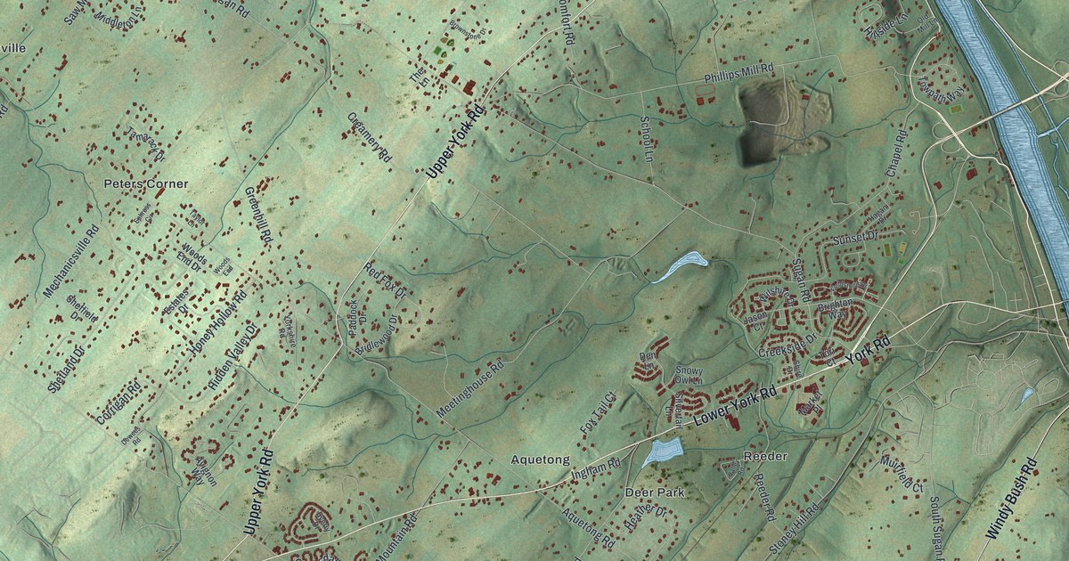
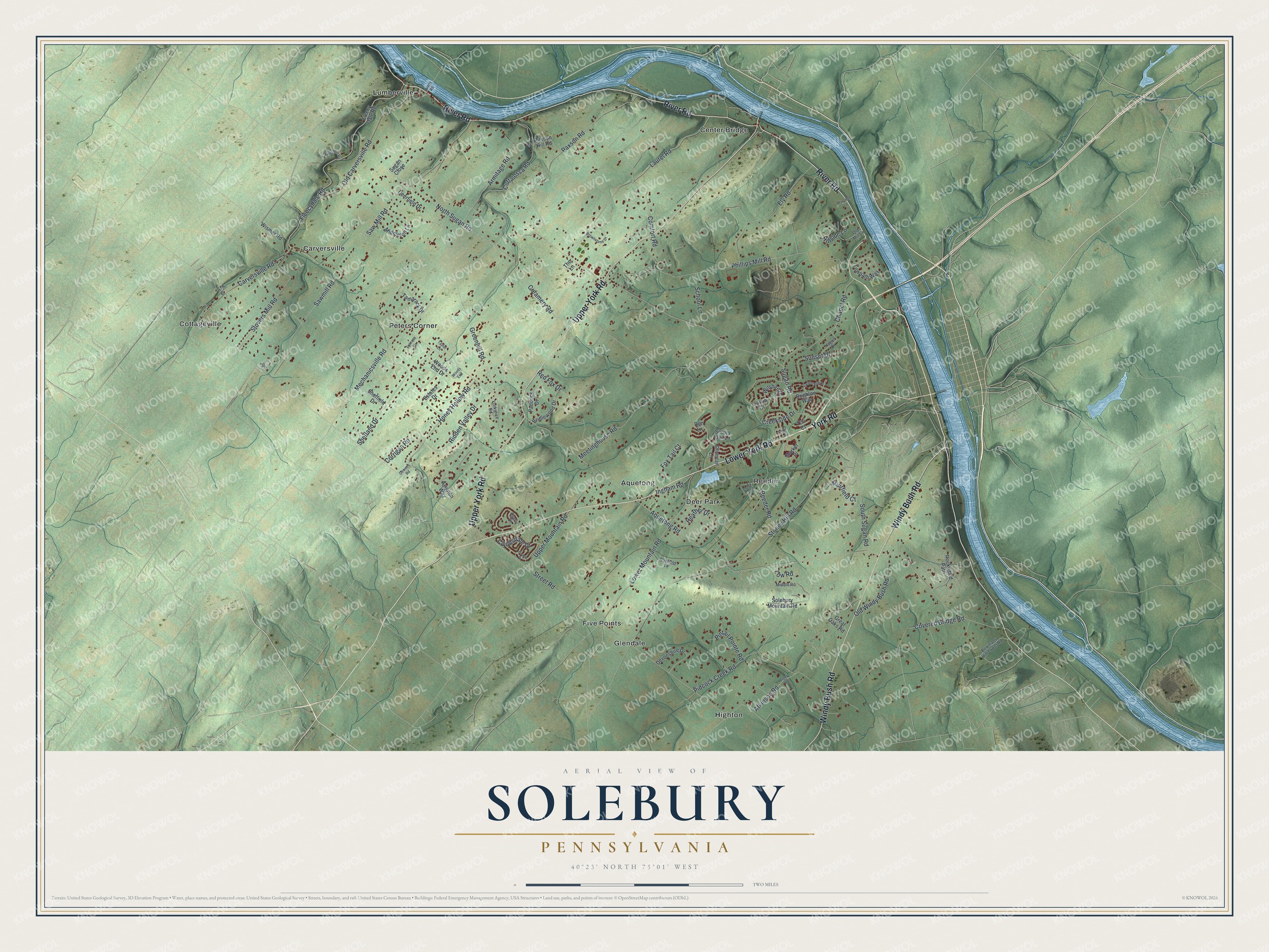
This beautifully detailed map of Solebury, Pennsylvania was created in 2026 using aerial imagery combined with modern topographical, census, street and landmark data. It’s a one-of-a-kind view of Solebury that combines accurate data with a vintage aesthetic. The map shows every building in its true location, many of the roads carry their names, and the shaded topographic relief shows the shape of the land.
Explore an aerial view of Solebury, Pennsylvania
On the map you’ll find Aquetong, Carversville, Center Bridge, Cottageville, Deer Park, Five Points, Glendale, Highton, Lumberville, Peters Corner, and Reeder, along with River Road, and more. If you look closely you can even find your house accurately drawn in its correct location. Zoom in on the preview to look for yours.
Did you know this about Solebury, Pennsylvania?
In the early 1900s, Solebury Township’s landscapes drew the painters of the Pennsylvania Impressionist movement. William Lathrop, Edward Redfield, Daniel Garber and Fern Coppedge all made their homes in the township. Illustrator Charles Hargens lived in Carversville, one of its villages. Artists still settle in Solebury today.
Take a closer look at the Solebury map
Street and place names on the Solebury, Pennsylvania map
These names are printed on the map of Solebury, Pennsylvania.
Places: Aquetong, Carversville, Center Bridge, Cottageville, Deer Park, Five Points, Glendale, Highton, Lumberville, Peters Corner and Reeder.
Streets and roads: River Road, Lower York Road, Upper York Road, Windy Bush Road, York Road, North Sugan Road, Fleecydale Road, Sugan Road, Aquetong Road, Street Road, Greenhill Road, Stoney Hill Road.
More street names, A to Z
Armitage Road, Atkinson Road, Avignon Way, Bowmans Hill Tower Road, Bridlewood Drive, Brighton Way, Brownstone Drive, Byerly Drive, Carversville Road, Chapel Road, Clydesdale Drive, Coach Drive, Comfort Road, Corrigan Road, Covered Bridge Road, Creamery Road, Creek Road, Creekside Drive, Cuttalossa Road, Deerfield Drive, Den Lane, Devonshire Drive, Dewees Road, Ely Road, Ephross Circle, Estates Drive, Fieldstone Drive, Fleecy Dale Road, Fox Tail Court, Fretz Mill Road, Great Oaks Road, Hagan Drive, Heather Drive, Hidden Valley Drive, Hillside Lane, Honey Hollow Road, Ingham Road, Jason Court, Laurel Road, Logus Lane, Lower Mountain Road, Low Road, Market Place, Marshall Lane, Mc Neal Road, Mechanicsville Road, Meetinghouse Road, Middle Road, Middleton Lane, Muirfield Court, Old Carversville Road, Old Mill Lane, Old Windy Bush Road, Paddock Drive, Paxson Hill Road, Paxson Road, Phillips Mill Road, Pidcock Creek Road, Pintail Pointe Road, Quarry Road, Red Fox Drive, Reeder Road, Rockwood Path, Saw Mill Road, Sawmill Road, School Lane, Sheffield Drive, Shetland Drive, Shire Drive, Silvertail Lane, Snowy Owl Lane, Solebury Mountain Road, South Sugan Road, Stovers Mill Road, Sugan Close, Sunset Drive, Tamarack Drive, Taylor Lane, The Lane, Tori Court, Towpath Way, Upper Mountain Road, Valley Road, Wilshire Drive, Wismer Road, Woods End, Woods End Drive, Wynfield Lane, Yorkshire Road.
See the Solebury, Pennsylvania map on a wall
The Solebury map as an 18 x 24 inch print in a black frame.

This beautifully detailed map of Solebury makes an attractive addition to your office, library, or den, and it can even be used to teach children the geography and history of the area. It also makes a great gift for anyone with Solebury roots. When you’re done exploring, click here to get your copy of the Solebury map.