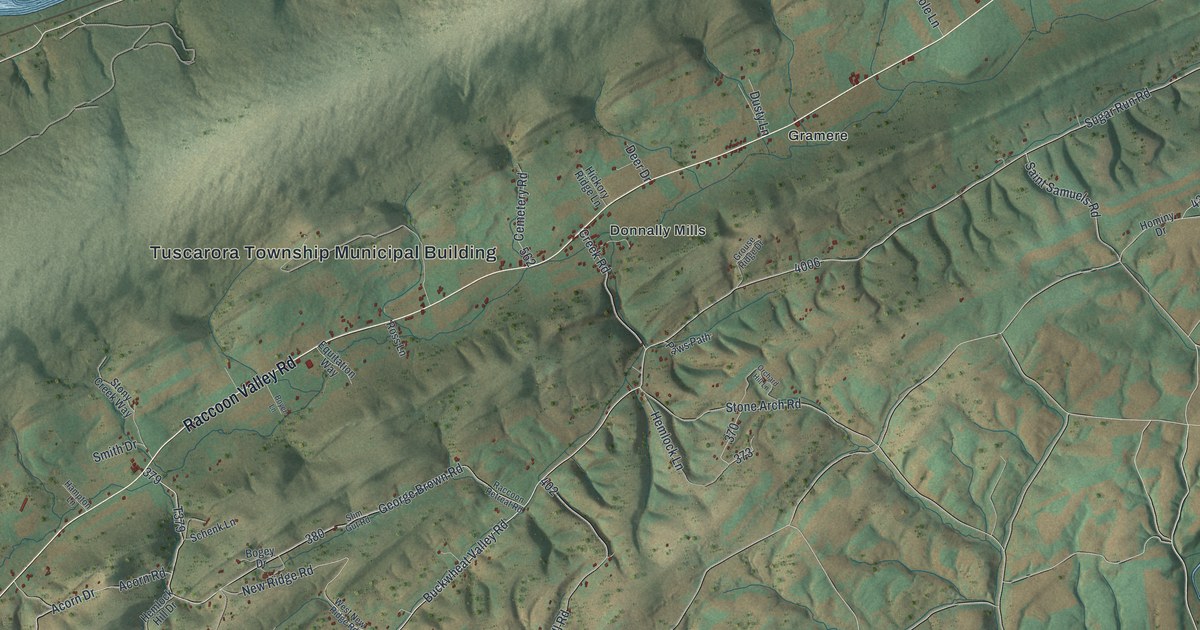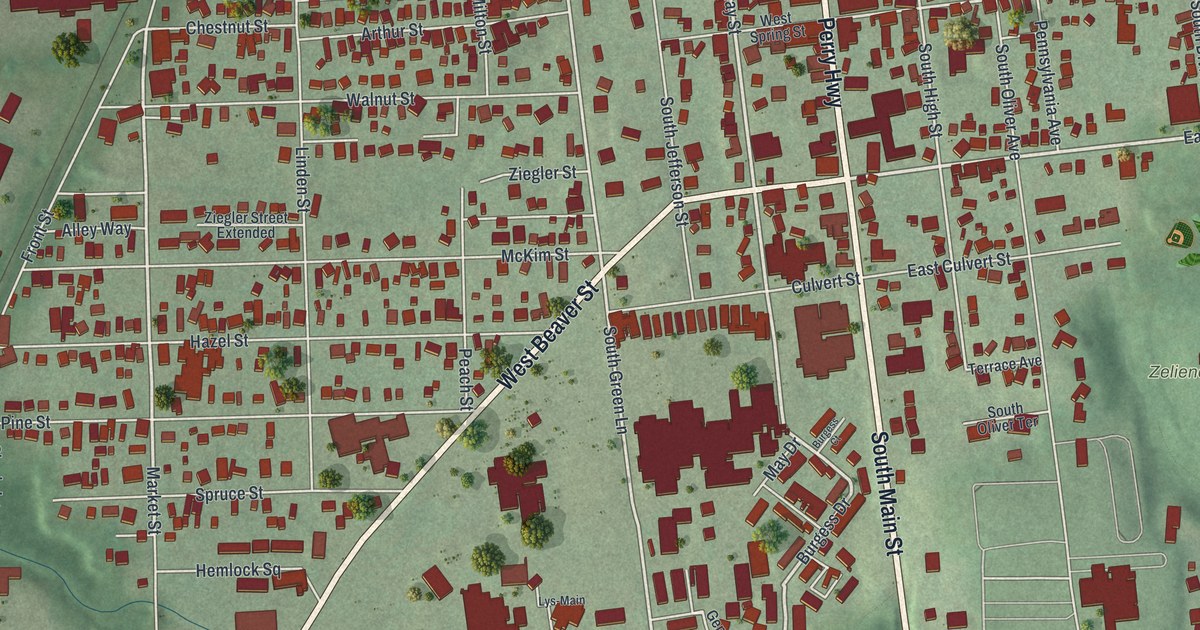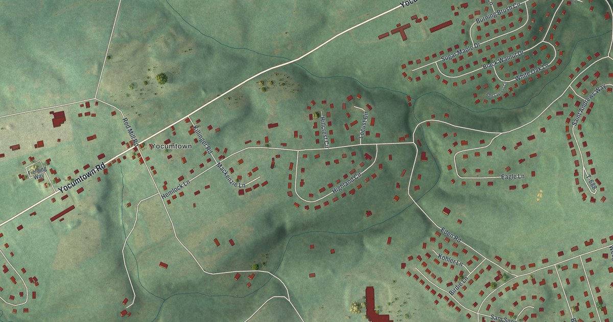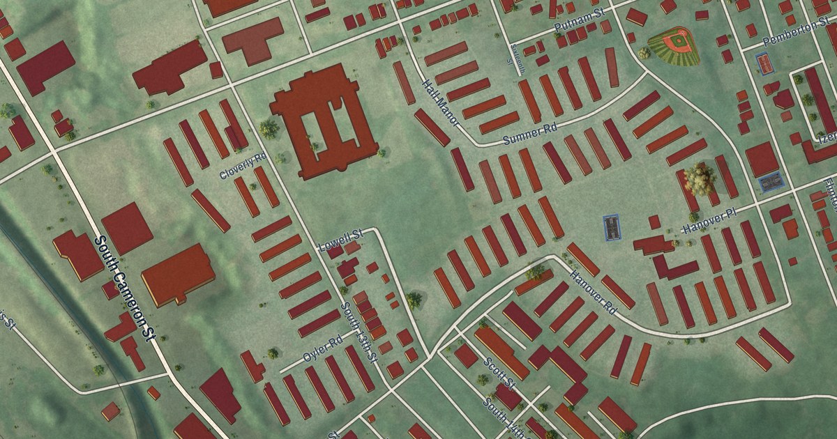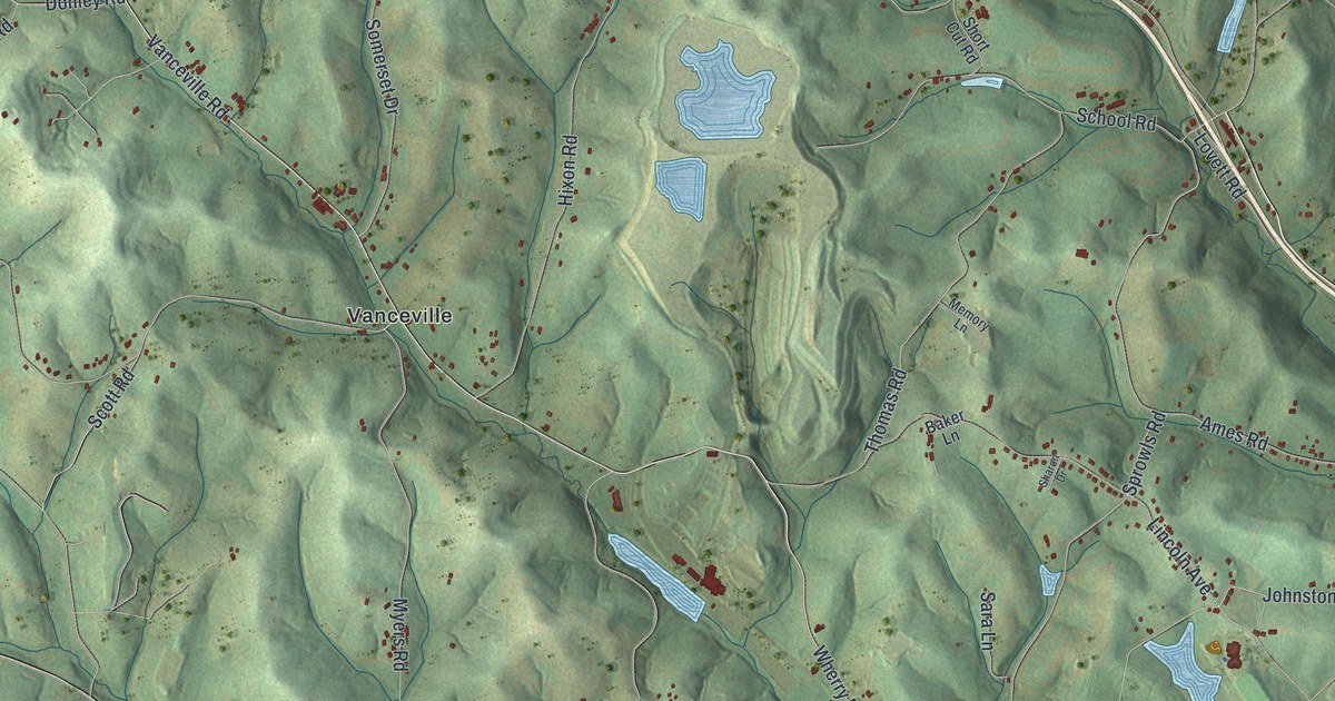
This beautifully detailed map of Somerset, Washington County, Pennsylvania was created in 2026 using aerial imagery combined with modern topographical, census, street and landmark data. It’s a one-of-a-kind view of Somerset that combines accurate data with a vintage aesthetic. The map shows every building in its true location, many of the roads carry their names, and the shaded topographic relief shows the shape of the land.
Explore an aerial view of Somerset, Washington County, Pennsylvania
On the map you’ll find Eighty Four, Dunningsville, Cokeburg Junction, Emery, Farquhar, Kammerer, and Vanceville, along with Pittsburgh Road, Carlton Drive, Wherry Road, Vanceville Road, and more. If you look closely you can even find your house accurately drawn in its correct location. Zoom in on the preview to look for yours.
Did you know this piece of Somerset, Washington County, Pennsylvania history?
From the 1871 History of Washington County, Pennsylvania: "Shortly after the town was laid out the Presbyterian, Methodist, and Baptist families united HISTORY OP WASHINGTON COUNTY, 121 and erected a union church, which was destroyed by fire about the year 1828."
Take a closer look at the Somerset, Washington County map
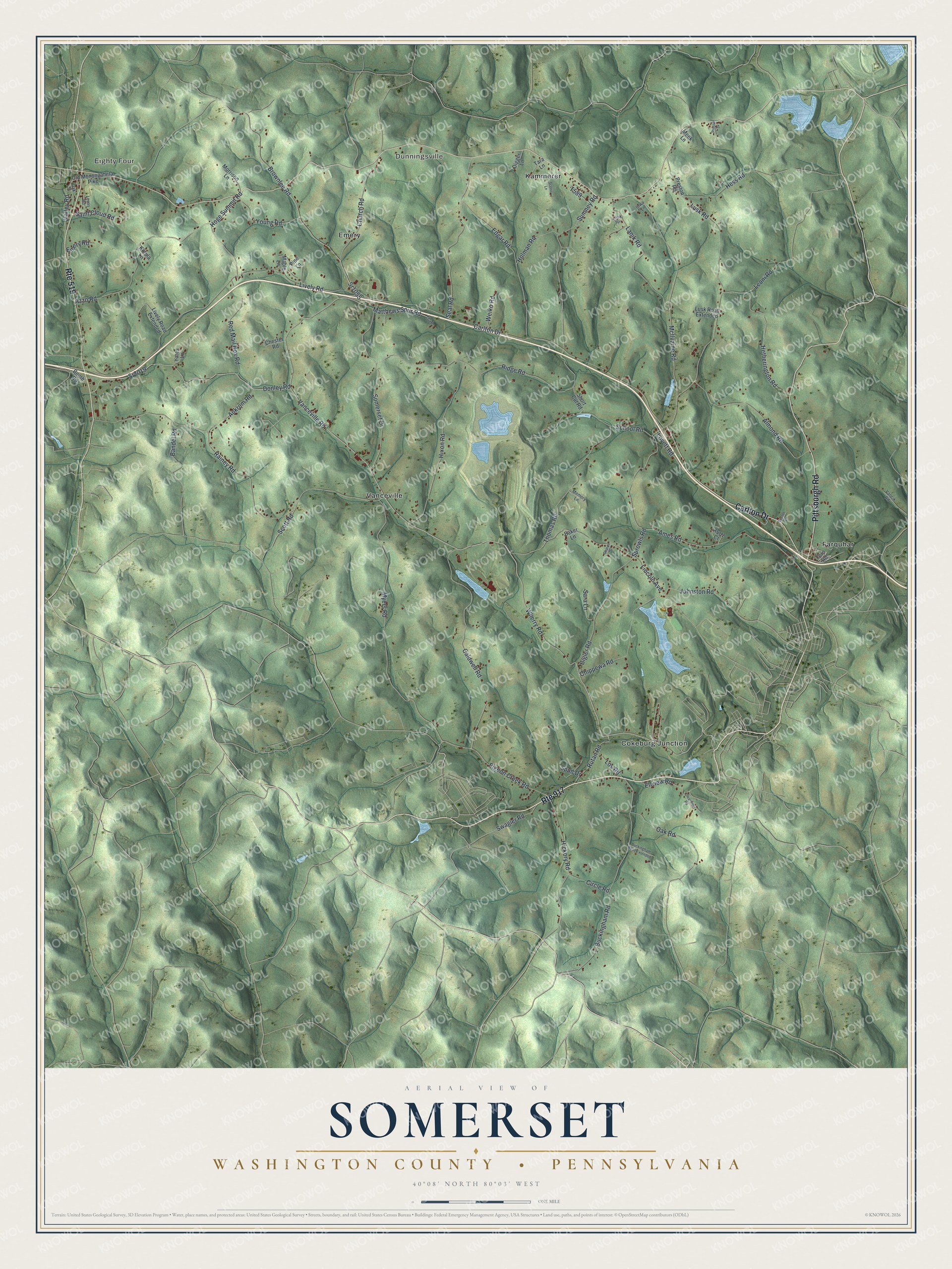
Street and place names on the Somerset, Washington County, Pennsylvania map
These names are printed on the map of Somerset, Washington County, Pennsylvania.
Places: Eighty Four, Dunningsville, Cokeburg Junction, Emery, Farquhar, Kammerer and Vanceville.
Streets and roads: Route 917, Route 519, Pittsburgh Road, Carlton Drive, Wherry Road, Sr2019, Vanceville Road, Rutan Road, Johnston Road, McIlvaine Road, Pigeon Creek Road, Sprowls Road.
More street names, A to Z
Almond Road, Ames Road, Ankrom Road, Azzo Road, Baker Lane, Bandel Road, Bigler Road, Booth Road, Brandl Lane, Brownlee Road, Buckingham Road, Buckingham Road Extended, Caldwell Road, Chester Road, Chippewa Road, Church Road, Circle Road, Clearview Road, Digger Lane, Donley Road, Edgar Road, Ellview Road, Emery Road, Fern Road, Hess Road, Hetherington Road, Hickory Road, Hixon Road, Hoge Summit Road, Holman Road, Iowa Lane, Kotula Lane, Kurtz Court, Lanik Road, Lanik Spr, Leoni Road, Lewis Road, Lincoln Avenue, Lively Road, Lively Road Extended, Los Road, Lovett Road, Lusk Road, Lusk Road Extended, Maple Lane, Matthews Spur Road, Meek Lane, Memory Lane, Morrison Lane, Myers Road, Oak Road, Oak Street, Old Monongahela Pike, Pine Lane, Preston Road, Prosser Drive, Rainey Road, Red Mail Box Road, Ridge Road, Saint Cloud Road, Sara Lane, Scenic Lane, School Road, Scott Road, Seal Road, Sharon Drive, Short Cut Road, Somerset Drive, Spud Drive, Sr1055, Sumney Road, Swagler Road, Tara Lane, Thomas Road, Valley Road, Vancik Road, Weiko Road, Yates Lane, Young Road.
See the Somerset, Washington County, Pennsylvania map on a wall
The Somerset, Washington County map as an 18 x 24 inch print in a black frame.

This beautifully detailed map of Somerset, Washington County makes an attractive addition to your office, library, or den, and it can even be used to teach children the geography and history of the area. It also makes a great gift for someone who left Somerset and still calls it home. When you’re done exploring, click here to get your copy of the Somerset, Washington County map.