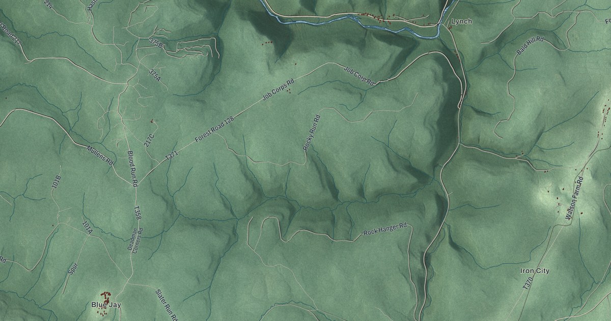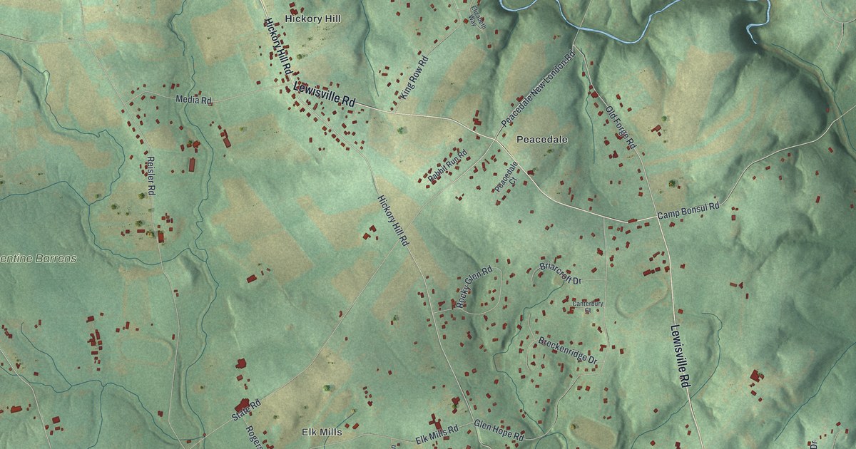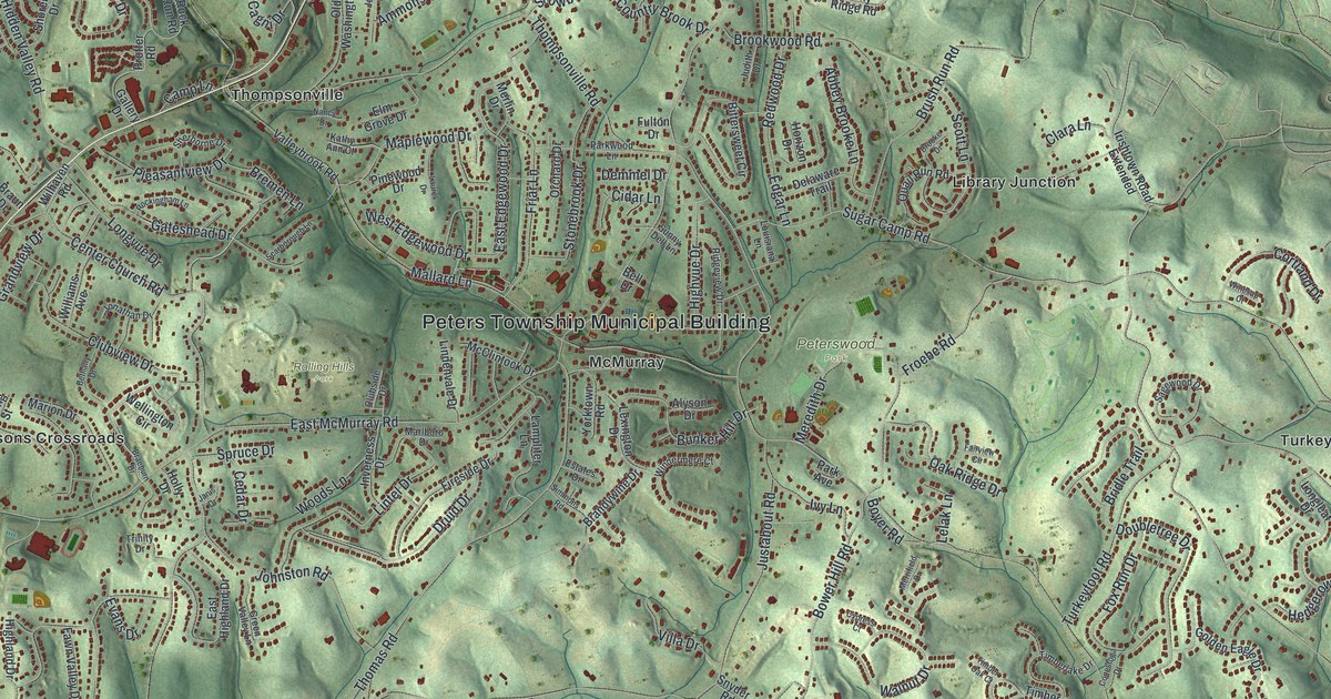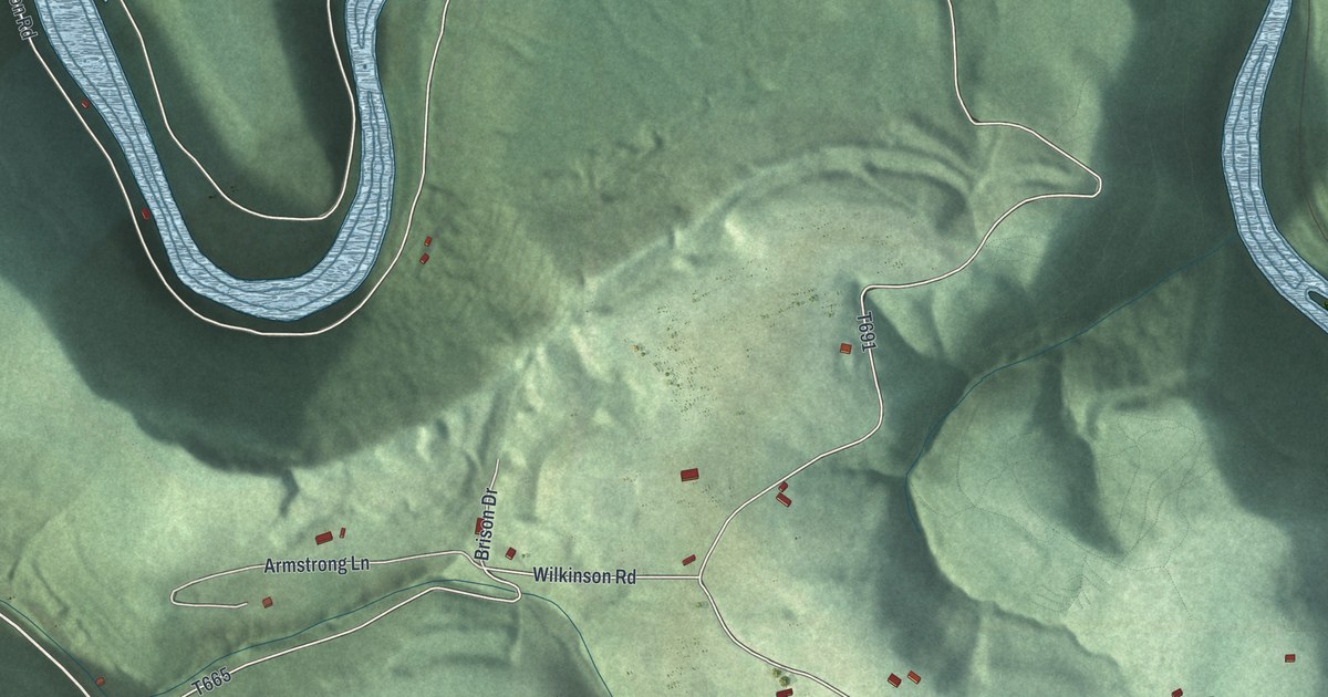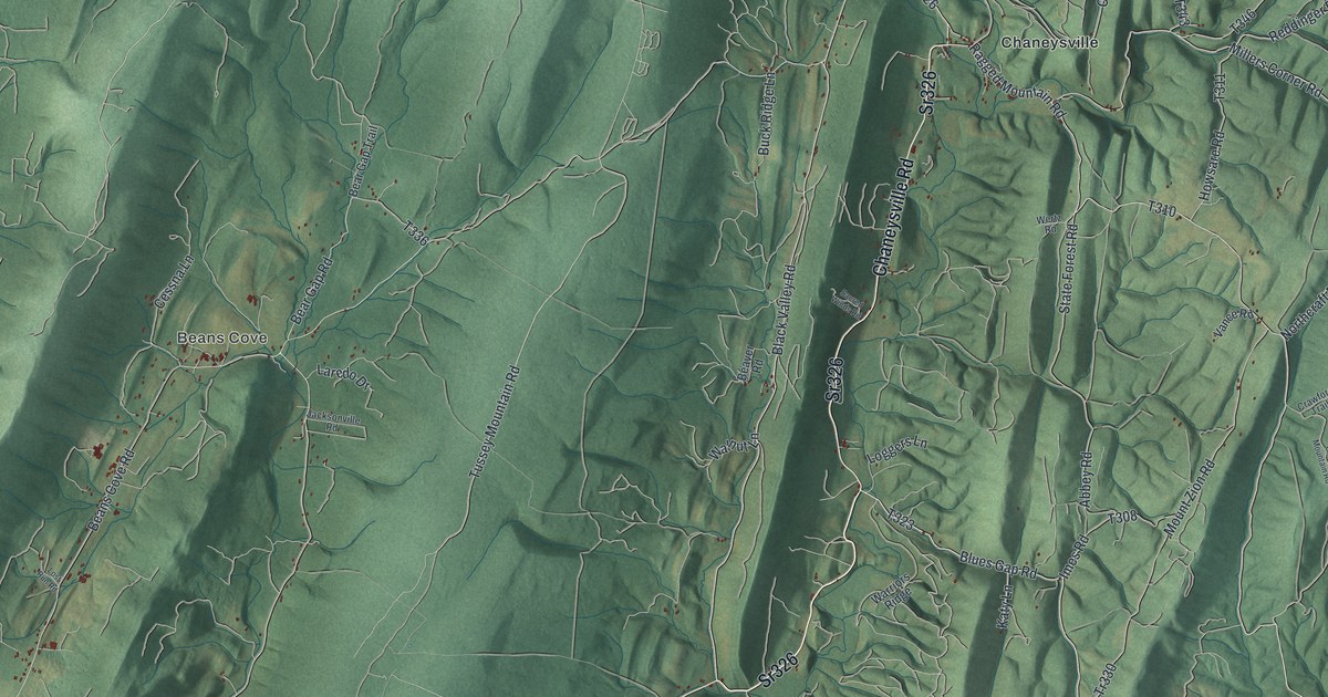
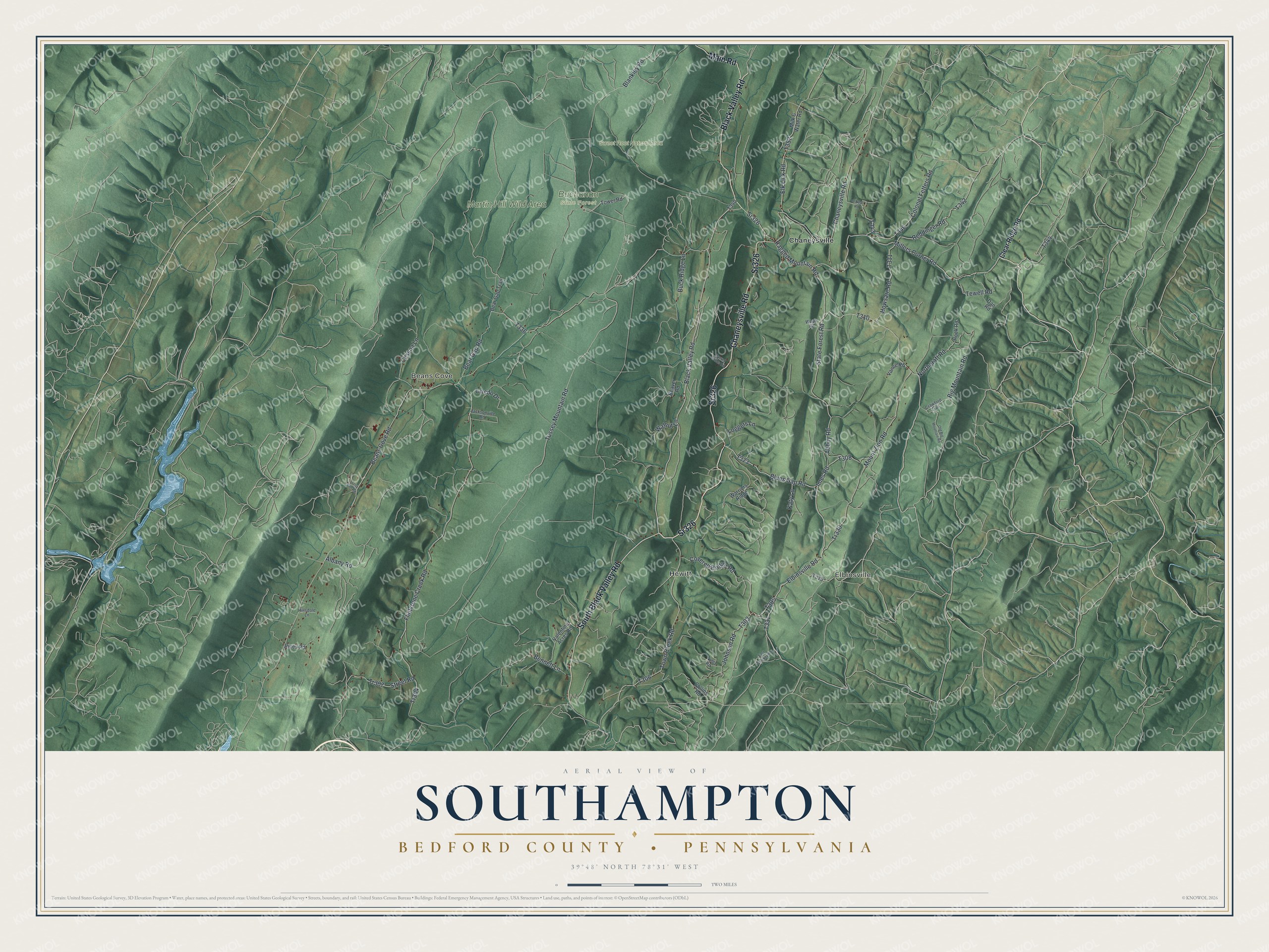
This beautifully detailed map of Southampton, Bedford County, Pennsylvania was created in 2026 using aerial imagery combined with modern topographical, census, street and landmark data. It's a modern aerial view of Southampton, Bedford County in Bedford County, Pennsylvania, that combines modern data with a vintage aesthetic. The roads feature printed names, and if you look closely you can find your exact house accurately shown in its correct location.
Explore an aerial view of Southampton, Bedford County, Pennsylvania
On this map you'll find Elbinsville, Beans Cove, Hewitt, Buchanan State Forest, Martin Hill Wild Area, Sweet Root Natural Area, Chaneysville, Sr326, Chaneysville Road, South Black Valley Road, Black Valley Road, Main Road, and more. Each red shape is a building, so zoom in on the preview and look for yours.
Southampton, Bedford County has a story worth telling. The Internet Archive puts it this way: "Adams also invented a universal balance
rine and screw feeder, which was first used in
the mill built for Gov."
Southampton, Bedford County is a place in Bedford County. The Census Bureau counted 847 people here in 2020.
Take a closer look at the Southampton, Bedford County map
Names on this map
These names are printed on this map.
Places: Elbinsville, Beans Cove, Hewitt, Buchanan State Forest, Martin Hill Wild Area, Sweet Root Natural Area and Chaneysville.
Streets and roads: Sr326, Chaneysville Road, South Black Valley Road, Black Valley Road, Main Road, Blues Gap Road, Elbinsville Road, Ragged Mountain Road, Millers Corner Road, Beans Cove Road, Tussey Mountain Road, Flintstone Creek Road.
More street names, A to Z
Abbey Road, Albany Road, Bear Gap Road, Bear Gap Trail, Beaver Road, Bennett Lane, Big Mountain Road, Blankley Road, Buck Ridge Lane, Cessna Lane, Clear Ridge Road, Collins Road, Colonel Fetters Road, Covered Bridge Road, Crawford Trail, Dan Road, East Stuckey Road, Elk Lick Road, Hillsdale Lane, Hook Road, Howsare Road, Imes Road, Jacksonville Road, Johnson Road, Katy Lane, Laredo Drive, Loggers Lane, Lost Run Road, Milk & Water Road, Mount Zion Road, Northcraft Road, O'Neal Road, Old Big Mountain Road, Reddinger Road, Rices Road, Sacred Winds Road, State Forest Road, Street Road, Tewell Road, Tower Road, Town Creek Road, Tr304, Tr307, Tr330, Tulsa Road, Valentine Acres Road, Vance Road, Walnut Lane, Warriors Ridge, Wertz Road.
Created by KNOWOL in 2026. The buildings are small red shapes, the roads carry their printed names, and shaded relief shows the shape of the land. The title panel reads "AERIAL VIEW OF SOUTHAMPTON BEDFORD COUNTY • PENNSYLVANIA" with 3, 9, °, 4, 8, ', , N, O, R, T, H, , 7, 8, °, 3, 1, ', , W, E, S, T.
It looks right in a kitchen, an office or a den, and it's a gift for anyone who grew up in Southampton, Bedford County or moved away. Open the preview and find your street. See sizes and frames for the Southampton, Bedford County map.