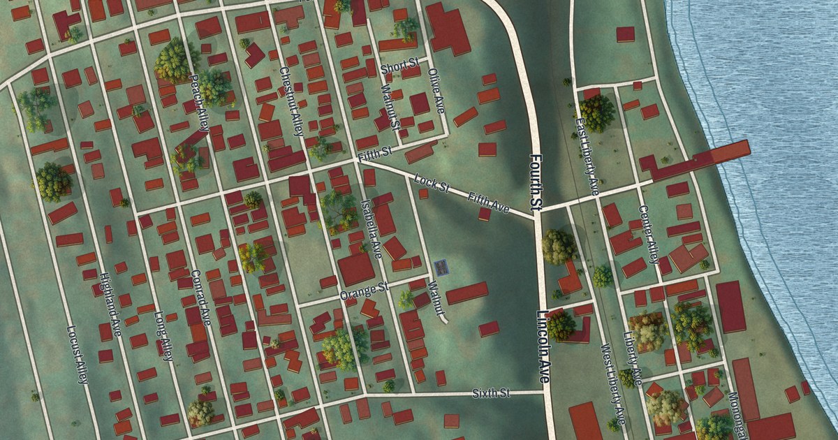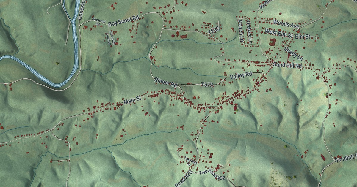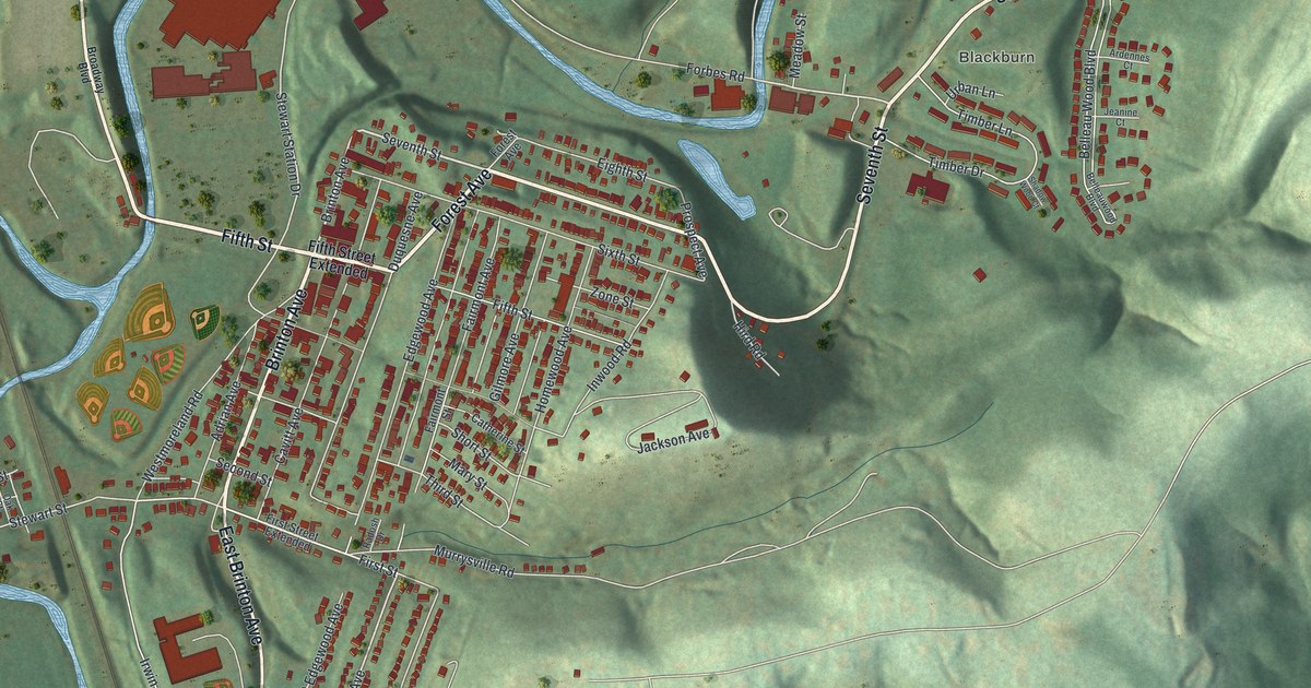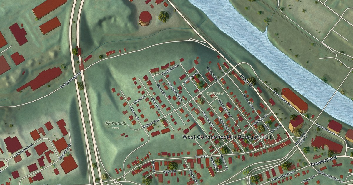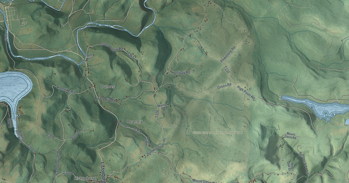
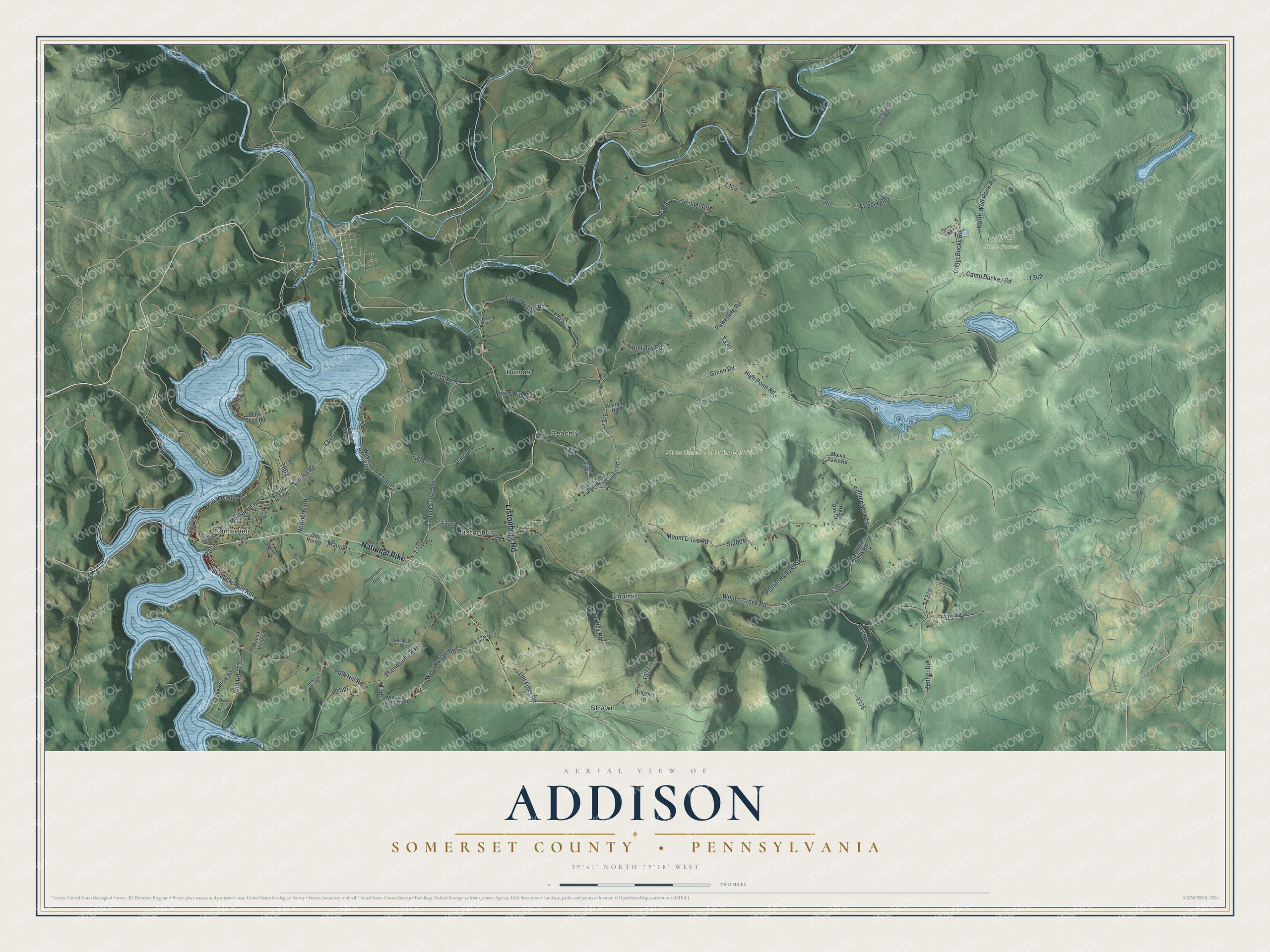
This beautifully detailed map of Addison Township, Pennsylvania was created in 2026 using aerial imagery combined with modern topographical, census, street and landmark data. It's a modern aerial view of Addison Township in Somerset County, Pennsylvania, that combines modern data with a vintage aesthetic. The roads feature printed names, and if you look closely you can find your exact house accurately shown in its correct location.
Explore an aerial view of Addison Township, Pennsylvania
On this map you'll find Somerfield, Forbes State Forest, State Game Lands Number 271, Beachly, Dumas, Listonburg, Strawn, Unamis, National Pike, Listonburg Road, Montague Road, Lake Side Road, and more. Each red shape is a building, so zoom in on the preview and look for yours.
Every town has a first chapter, and Addison Township is no exception. The Internet Archive puts it this way: "The following apeliie he came to Petersburg and began
merchandising, in which vocation he has been engaged fifty-
three years, and is undoubtedly the oldest and one among the
successful merchants in the county."
Addison Township is a place in Somerset County. The Census Bureau counted 931 people here in 2020.
Take a closer look at the Addison Township map
Names on this map
These names are printed on this map.
Places: Somerfield, Forbes State Forest, State Game Lands Number 271, Beachly, Dumas, Listonburg, Strawn and Unamis.
Streets and roads: National Pike, Listonburg Road, Montague Road, Lake Side Road, Zehner Road, Clouse Road, Bradocks Run Road, Whites Creek Road, Polk Hill Road, Camp Buckey Road, Mount Davis Road, Platter Hollow Road.
More street names, A to Z
50 Spr, Barkley Road, Buena Vista Drive, Camp Bucky Road, Camp Ground Road, Cherry Hill Road, Coon Hollow Road, Deer Haven, Diehl Farms Road, Dons Road, Fireclay Road, Fort Hill Road, Friendsville Road, Green Road, High Point Road, Hileman Lane, Holliday Road, Isley Coal Run Road, Klondike Road, Lake Shore Road, Lenhart Hill Road, Lenhart Road, Locust Road, Main Street, Mays Point Road, Mountain Avenue, Newberry Road, New Berry Road, North Wolf Rock Road, Old Forty Road, Old Route 40, Pirich Road, Powerline Road, Pumpkin Center Road, Puzzley Road, Red Oak Drive, Resh Road, Ringer Road, Scenic View Drive, Sechler Road, Sr2004, Starr Lane, Stiff Road, Summit View Lane, Upper Whites Creek Road, Upper Whites Crk Road, Warner Road, Wass's Hollow Road, Wass Hollow Road, Wilkins Hollow Road, Williams Lane.
Created by KNOWOL in 2026. The buildings are small red shapes, the roads carry their printed names, and shaded relief shows the shape of the land. The title panel reads "AERIAL VIEW OF ADDISON SOMERSET COUNTY • PENNSYLVANIA" with 3, 9, °, 4, 7, ', , N, O, R, T, H, , 7, 9, °, 1, 8, ', , W, E, S, T.
Hang it in the hallway, the office or the cabin, or give it to someone who left Addison Township and still calls it home. Open the preview and look for a street you know. See sizes and frames for the Addison, Somerset County map.