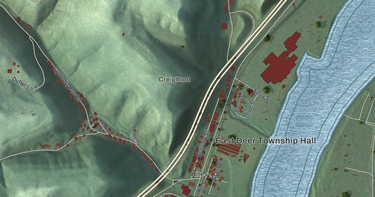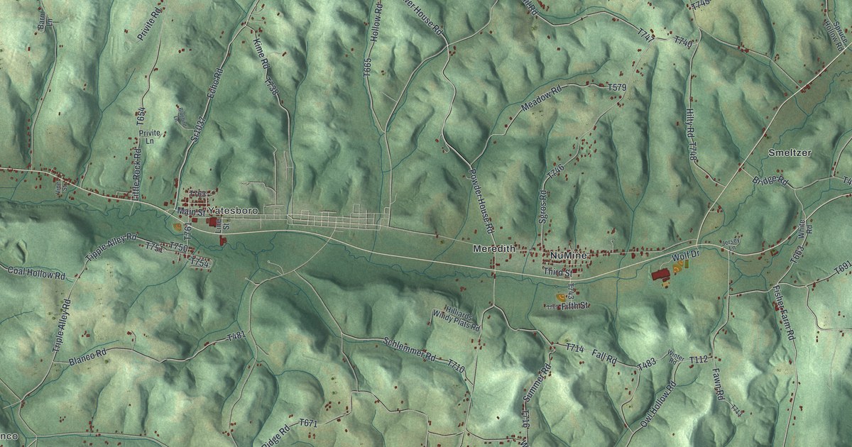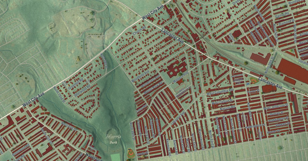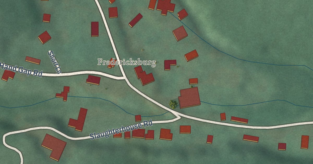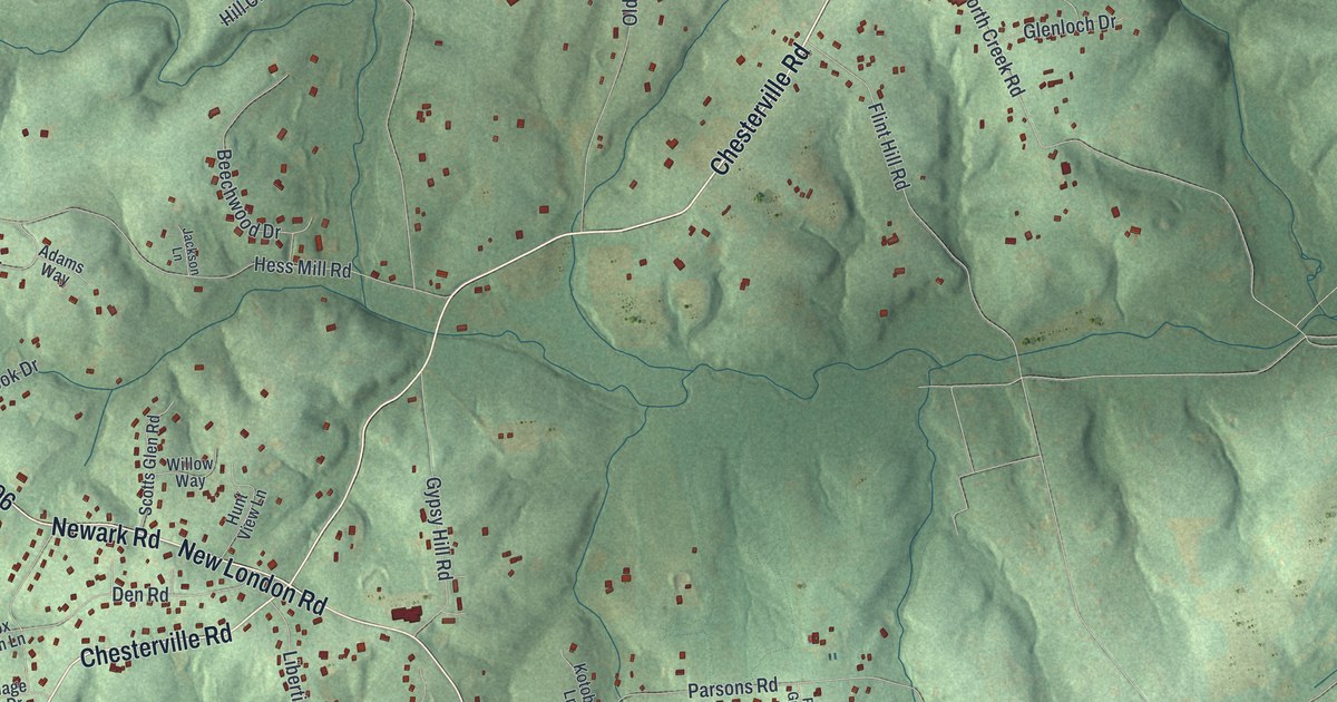
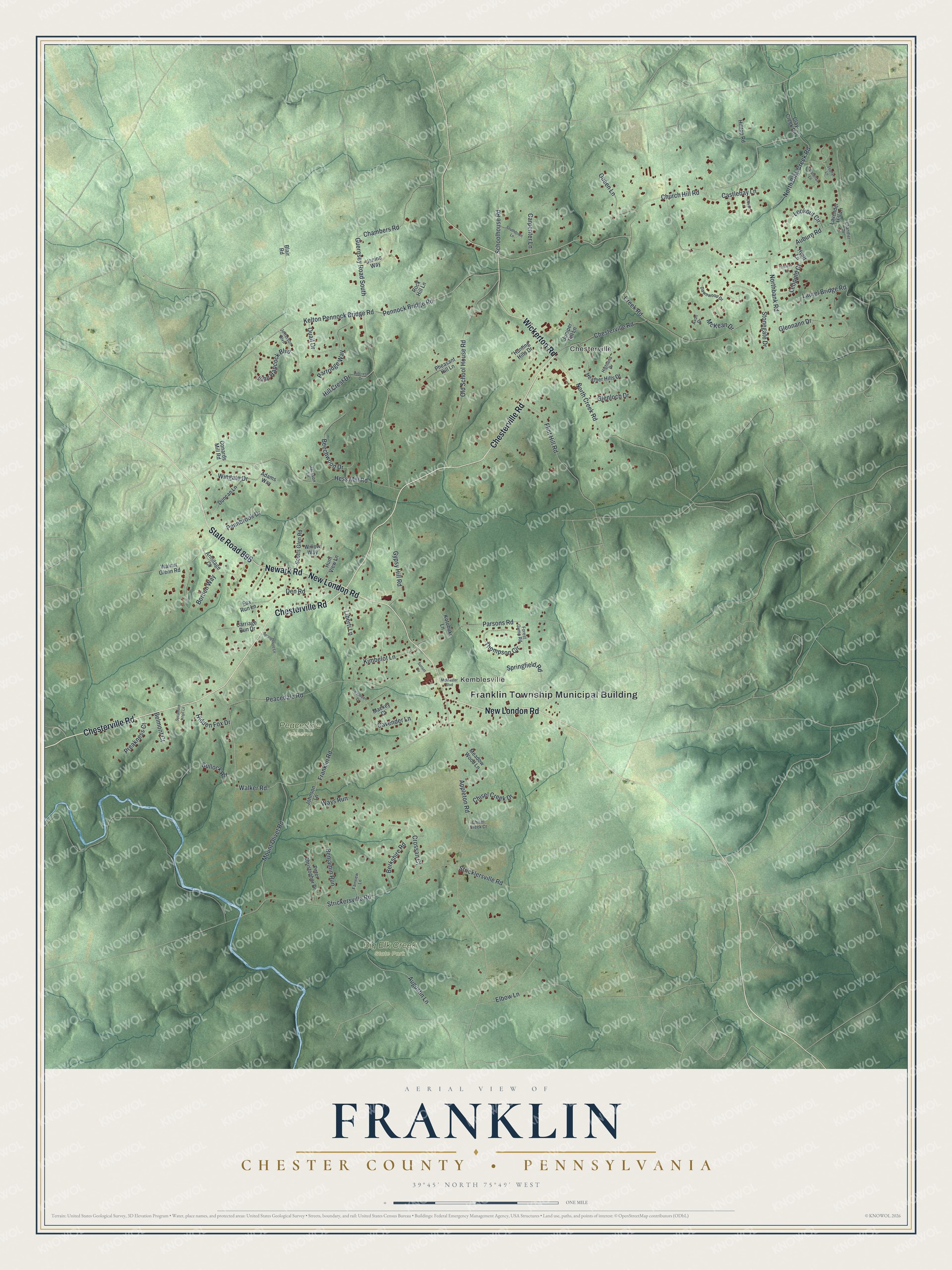
This beautifully detailed map of Franklin, Chester County, Pennsylvania was created in 2026 using aerial imagery combined with modern topographical, census, street and landmark data. It’s a one-of-a-kind view of Franklin that combines accurate data with a vintage aesthetic. The map shows every building in its true location, many of the roads carry their names, and the shaded topographic relief shows the shape of the land.
Explore an aerial view of Franklin, Chester County, Pennsylvania
On the map you’ll find Franklin Township Municipal Building, Chesterville, Kemblesville, Big Elk Creek State Park, and Peacedale Preserve, along with Chesterville Road, State Road 896, New London Road, Wickerton Road, Newark Road, Church Hill Road, Appleton Road, and more. If you look closely you can even find your house accurately drawn in its correct location. Zoom in on the preview to look for yours.
Did you know this piece of Franklin, Chester County, Pennsylvania history?
Franklin Township was formed in 1852 from part of New London Township. It was named in honor of Benjamin Franklin, who once owned land in the area. Part of it lay in the London Tract, which William Penn granted to a business group in 1699.
Take a closer look at the Franklin, Chester County map
Street and place names on the Franklin, Chester County, Pennsylvania map
These names are printed on the map of Franklin, Chester County, Pennsylvania.
Places: Franklin Township Municipal Building, Chesterville, Kemblesville, Big Elk Creek State Park and Peacedale Preserve.
Streets and roads: Chesterville Road, State Road 896, New London Road, Wickerton Road, Newark Road, Church Hill Road, Appleton Road, Walker Road, Auburn Road, Guernsey Road South, Kelton Pennock Bridge Road, Pennock Bridge Road.
More street names, A to Z
Adams Way, Armitage Court, Augustin Lane, Avon Drive, Beechwood Drive, Belmont Court, Benjamin Run, Berkshire Road, Blair Road, Borden Way, Bullock Road, Carpenter Lane, Carriage Run Drive, Castlebay Lane, Cavender Lane, Chambers Road, Chandler Drive, Chisel Creek Court, Chisel Creek Drive, Clay Creek Road, Conards Mill Road, Creek Road, Crossan Court, Dawnwood Drive, Den Road, Devan Lane, Duncan Lane, Elbow Lane, Fairview Lane, Flint Hill Road, Forest Gump Road, Fox Run Lane, Franklin Road, Glenloch Drive, Glennann Drive, Gypsy Hill Road, Heather Hills Drive, Hess Mill Road, Hidden Fox Drive, Highland Drive, Hill Crest Drive, Hillcrest Drive, Hilltop Road, Hunting Hills Drive, Hunt View Lane, Hyatt Lane, Jackson Lane, Janine Way, Jefferson Boulevard, John Hancock Boulevard, Johnson Lane, Juniper Hill Lane, Kathleen Drive, Kimbelot Lane, Kotobuki Lane, Laurel Bridge Road, Lavender Hill Lane, Leopold Court, Liberti Lane, Lookout Circle, Mackey Court, McKean Drive, McMaster Boulevard, Meadow Wood Lane, Mount Olivet Road, Northbank Road, North Clay Creek Road, North Creek Road, Old School House Road, Parsons Road, Partridge Way, Peacedale Road, Pennbrook Drive, Peter Christopher Drive, Pheasant Hill Lane, Preakness Court, Quail Drive, Queen Lane, Rock Hill Lane, Schoolhouse Road, Scotts Glen Road, Southdown Lane, Springfield Road, Springhouse Lane, Stonegate Drive, Strickersville Road, Stricklersville Road, Sunset Circle, Sycamore Knoll Lane, Thompson Circle, Thoreau Court, Walnut Glenn Road, Waterfall Lane, Ways Run, Willow Way, Wingate Drive, Zephyr Lane.
See the Franklin, Chester County, Pennsylvania map on a wall
The Franklin, Chester County map as an 18 x 24 inch print in a black frame.

This beautifully detailed map of Franklin, Chester County makes an attractive addition to your office, library, or den, and it can even be used to teach children the geography and history of the area. It also makes a great gift for someone who left Franklin and still calls it home. When you’re done exploring, click here to get your copy of the Franklin, Chester County map.