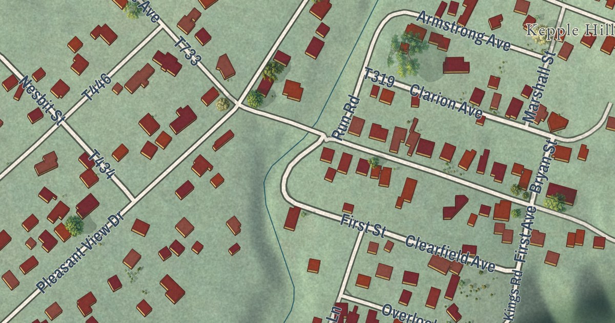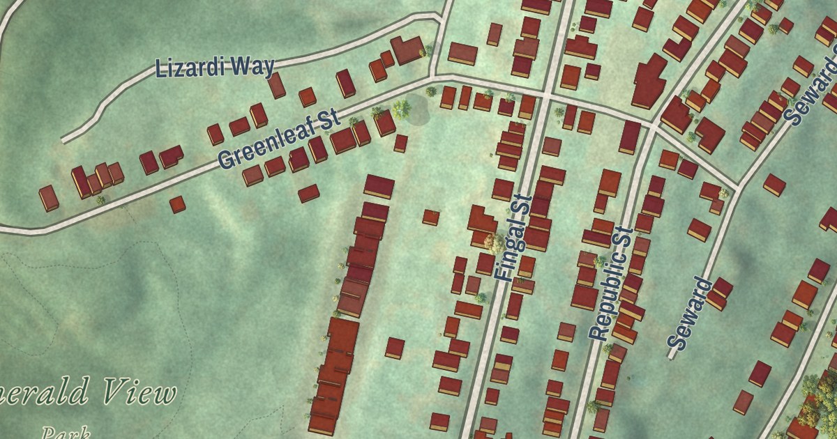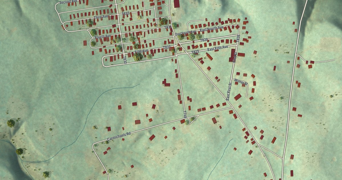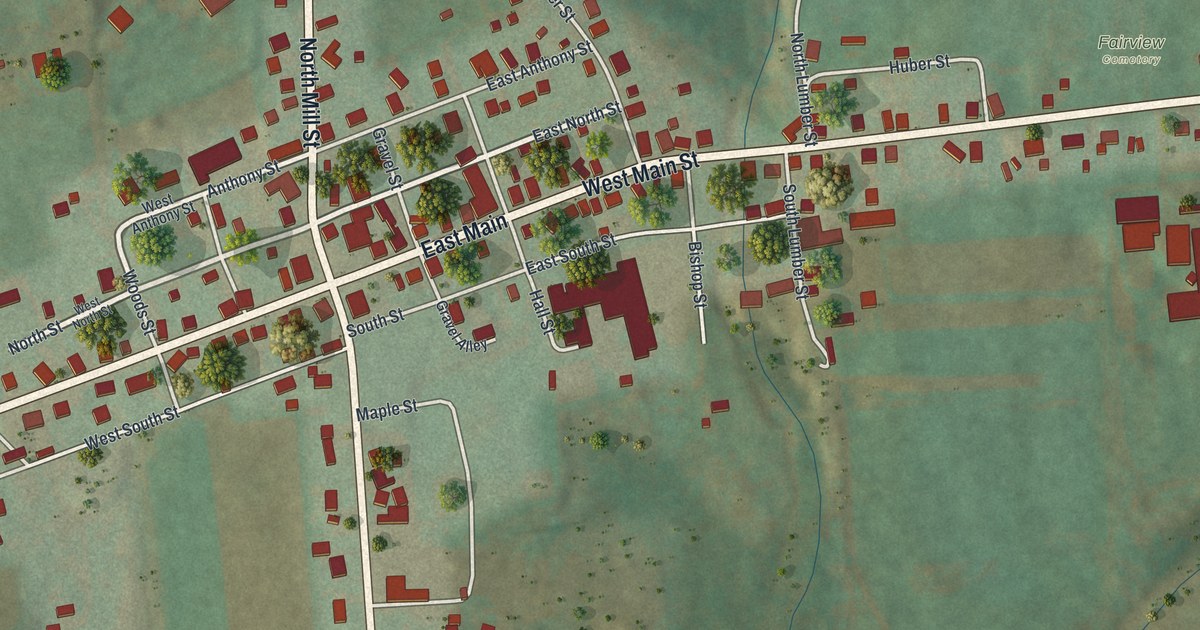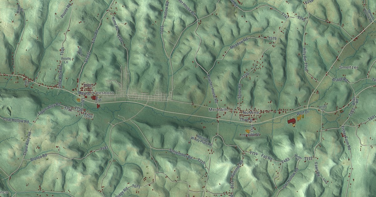
This beautifully detailed map of Cowanshannock, Pennsylvania was created in 2026 using aerial imagery combined with modern topographical, census, street and landmark data. It’s a one-of-a-kind view of Cowanshannock that combines accurate data with a vintage aesthetic. The map shows every building in its true location, many of the roads carry their names, and the shaded topographic relief shows the shape of the land.
Explore an aerial view of Cowanshannock, Pennsylvania
On the map you’ll find Margaret, Blanco, Yatesboro, Barnards, Bryan, Hoosicks Mill, Meredith, NuMine, Sagamore, and Smeltzer, along with Church Street, and more. If you look closely you can even find your house accurately drawn in its correct location. Zoom in on the preview to look for yours.
Did you know this piece of Cowanshannock, Pennsylvania history?
From PA Roots: "On the 22 nd June, 1841, the petition of diverse inhabitants of Kittanning, Plum Creek and Wayne townships was presented to the proper court of this county, asking for the erection of a new township out of parts of those above named."
Take a closer look at the Cowanshannock map
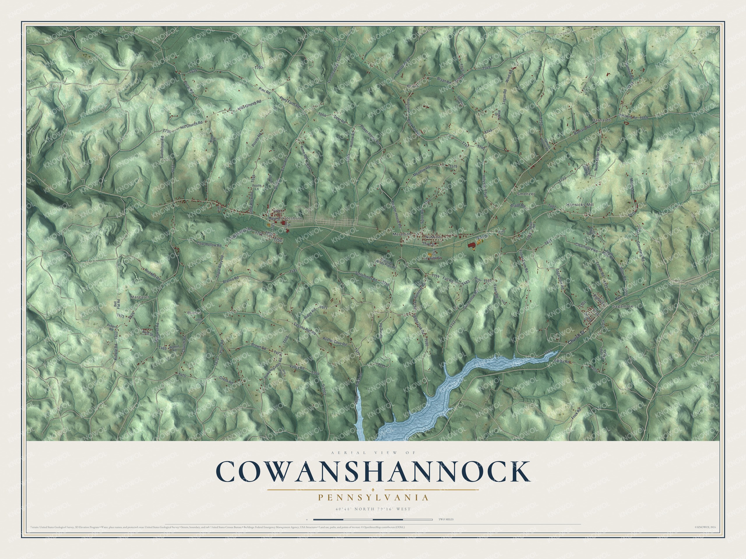
Street and place names on the Cowanshannock, Pennsylvania map
These names are printed on the map of Cowanshannock, Pennsylvania.
Places: Margaret, Blanco, Yatesboro, Barnards, Bryan, Hoosicks Mill, Meredith, NuMine, Sagamore and Smeltzer.
Streets and roads: Church Street, Bryan Road, Powder House Road, Fifth Street, Pony Farm Road, Oscar Road, Logan Road, Echo Road, Sagamore Road, Power House Road, Bridge Road, Little Rock Road.
More street names, A to Z
Bailey Road, Barnard Road, Barn Lane, Bella Vista Lane, Bell Flat Road, Black Road, Blanco Road, Bluebird Lane, Brown Road, Buck Tail Road, Cemetery Road, Cessna Run Road, Cherry Run Road, Church Road, Clearfield Pike, Coal Hollow Road, Creek Road, Deer Road, Eighth Street, Fall Road, Fawn Road, First Street, Fisher Farm Road, Frick Road, Gould Lane, Hill Church Road, Hilliards Windy Plats Road, Hills Church Road, Hilty Road, Hollow Road, Jersey Lane, Kime Road, Kunkle Road, Limestone Road, Line Street, Lumstead Road, Mahoning Road, Main Street, Margaret Road, Meadow Road, Miller Road, Minich Road, North Miller Road, Ondich Lane, Owl Hollow Road, Pine Road, Plum Road, Post Office Road, Powers Cross Road, Pribero Road, Privite Lane, Privite Road, Red Mill Road, Reefer Cove Road, Ridge Road, Sadecky Lane, Sandstone Road, Schlemmer Road, Second Street, Sgros Road, South Miller Road, Spring Road, Spruce Hollow Road, Sr1037, Sr1039, Sr2001, Summer Road, Sunrise Road, Third Street, Tipple Alley Road, Triple Alley Road, Valley Road, Vine Street, Walnut Road, Washington Avenue, White Oak Road, White Road, Wind Road, Winter Road, Wolf Drive, Wood Drive, Zemko Road.
See the Cowanshannock, Pennsylvania map on a wall
The Cowanshannock map as an 18 x 24 inch print in a black frame.

This beautifully detailed map of Cowanshannock makes an attractive addition to your office, library, or den, and it can even be used to teach children the geography and history of the area. It also makes a great gift for someone who left Cowanshannock and still calls it home. When you’re done exploring, click here to get your copy of the Cowanshannock map.