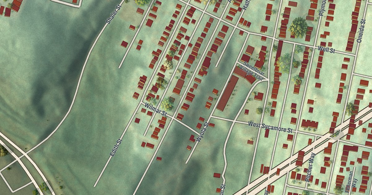
If you grew up on Grandview Avenue or one of the steep streets behind it, this map is your hill. It's a new aerial view of Duquesne Heights in Allegheny County, Pennsylvania, built from modern data with a vintage feel. You'll see rows of homes packed along the hillside, two ball diamonds by the Duquesne Heights Greenway, and a wide blue river along the top corner.
Grandview Avenue and the Streets of Duquesne Heights
On this map you'll find Grandview Avenue, Saw Mill Run Boulevard, Republic Street, Sweetbriar Street, Augusta Street, Oneida Street, Greenleaf Street, Lupton Street, West Sycamore Street, Virginia Avenue, Pawnee Street, Duquesne Heights Greenway, and more. Each red shape is a building, so zoom in on the preview and look for yours.
The Duquesne Incline on Grandview Avenue
The Duquesne Incline is on the National Register of Historic Places, added in March 1975. Its listed address is 1220 Grandview Avenue. That's the same Grandview Avenue you'll find printed on this map.
A state marker stands at the foot of the Duquesne Incline on West Carson Street. It says the first glass factory in Pittsburgh was started on that site in 1797. James O'Hara and Isaac Craig built it. It made bottles and window glass until the 1880s. The marker calls it a precursor of Pittsburgh's rise as the nation's largest glass producer.
A Duquesne Heights Map From Grandview Avenue to Saw Mill Run
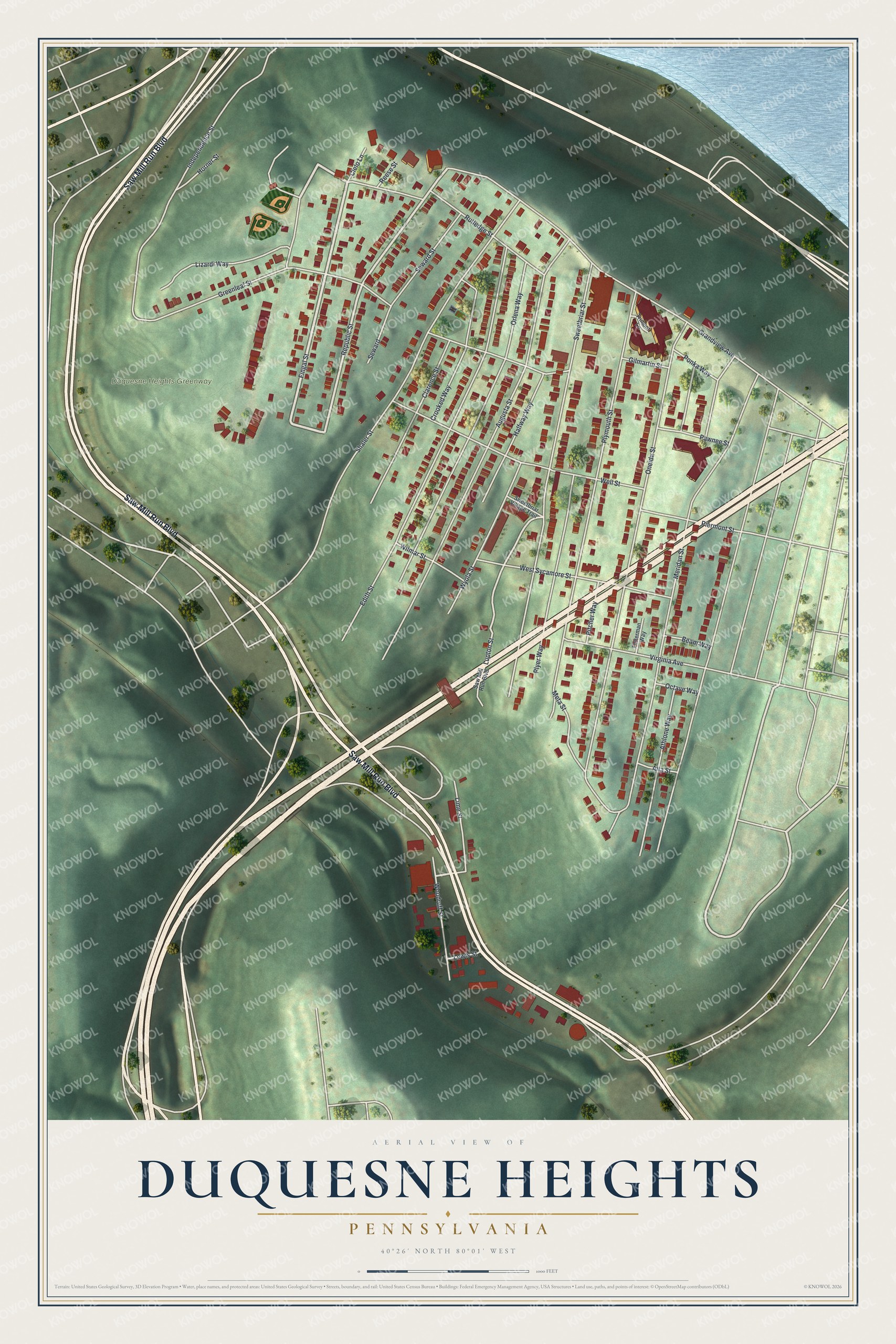
Created by KNOWOL in 2026, this print shows Duquesne Heights in soft greens with shaded hills, cream-colored streets and red buildings, with a strip of blue river in one corner. The title panel reads "Aerial View of Duquesne Heights, Pennsylvania" with the coordinates 40°26' North 80°01' West.
It fits a living room, a hallway or a home office. It's a good gift for someone who grew up near the Duquesne Incline or on Republic Street and moved away. Open the preview and find your block. See sizes and frames for the Duquesne Heights map.