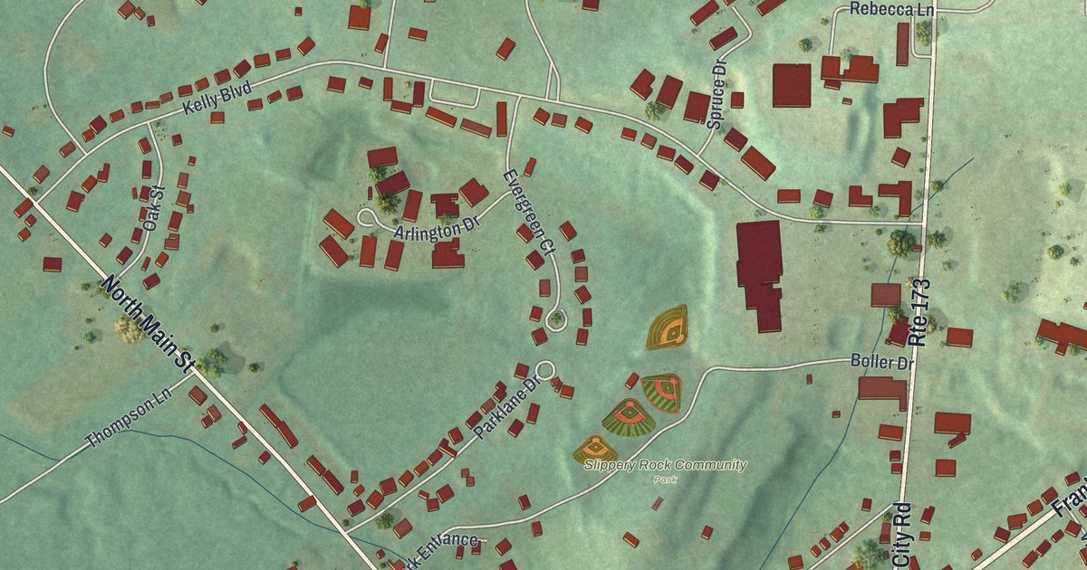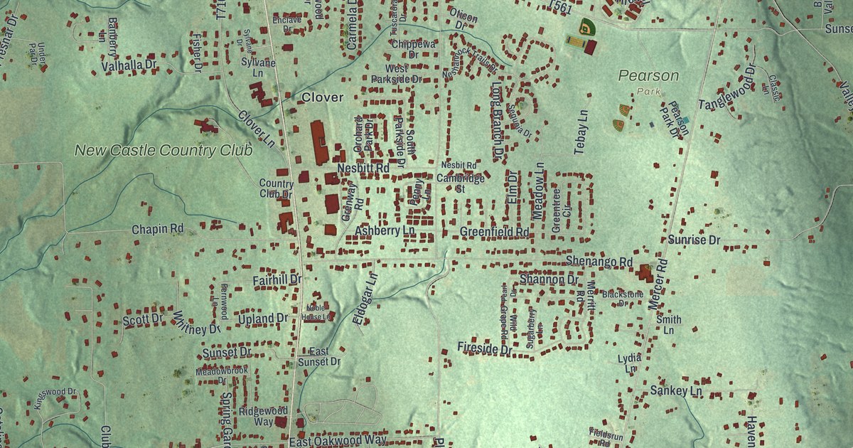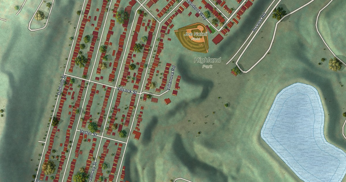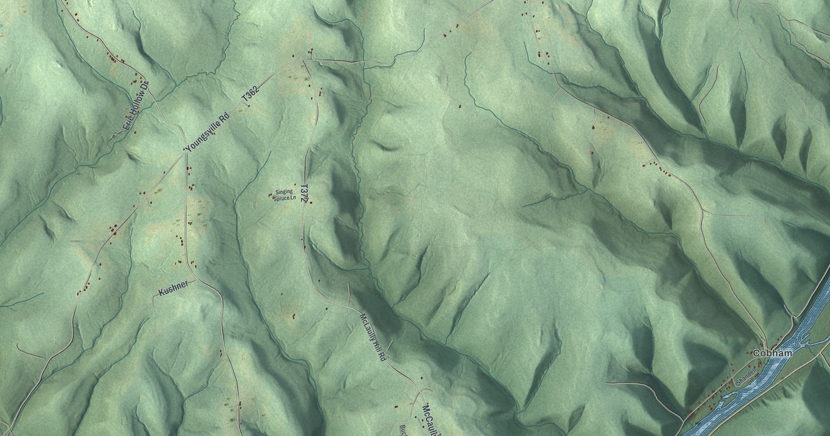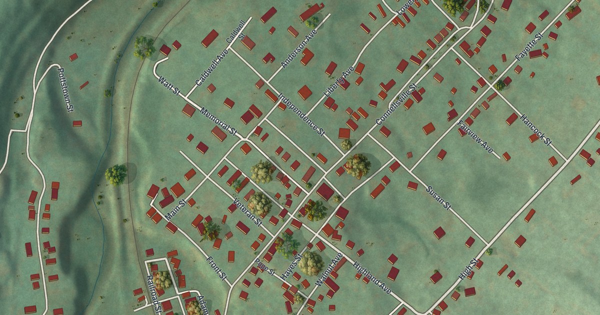
If you grew up in Dunbar, or your family still lives on its hillside streets, this map is for you. It's a new aerial view of the Borough of Dunbar in Fayette County, Pennsylvania, made with modern data and given a vintage feel. Green hills rise all around the town. The streets climb the slopes in a tight grid, and a creek and a rail line wind through the valley below.
Main Street, Furnace Avenue and the Streets of Dunbar
On this map you'll find Main Street, Church Street, Furnace Avenue, Connellsville Street, Railroad Street, Bridge Street, Highland Avenue, Bryson Street, Water Street, Fayette Street, Liberty Avenue, Memorial Street, Fireman Drive, Mahoning, and more. Each red shape is a building, so zoom in on the preview and look for yours.
Col. Thomas Dunbar and Braddock's March of 1755
The town shares its name with Col. Thomas Dunbar, a British officer. The 1882 History of Fayette County tells his part in a famous march. Major-General Edward Braddock led the army west toward Fort Duquesne in 1755. Col. Dunbar commanded the Forty-eighth Royal Regiment of Foot. His men set out on June 10. His brigade marched third, with the supply wagons and all the carrying-horses. The history also names a mountain spot called Dunbar's Camp. Jumonville's Camp was about half a mile south of it.
A state historical marker at the Meason House, 4.5 miles southwest of Connellsville, calls Isaac Meason a pioneer ironmaster who built one of the first rolling mills in 1817. The marker says he fought in the Revolution. It says he built the Georgian manor on the hill in 1802.
Bring Furnace Avenue and Mahoning Home
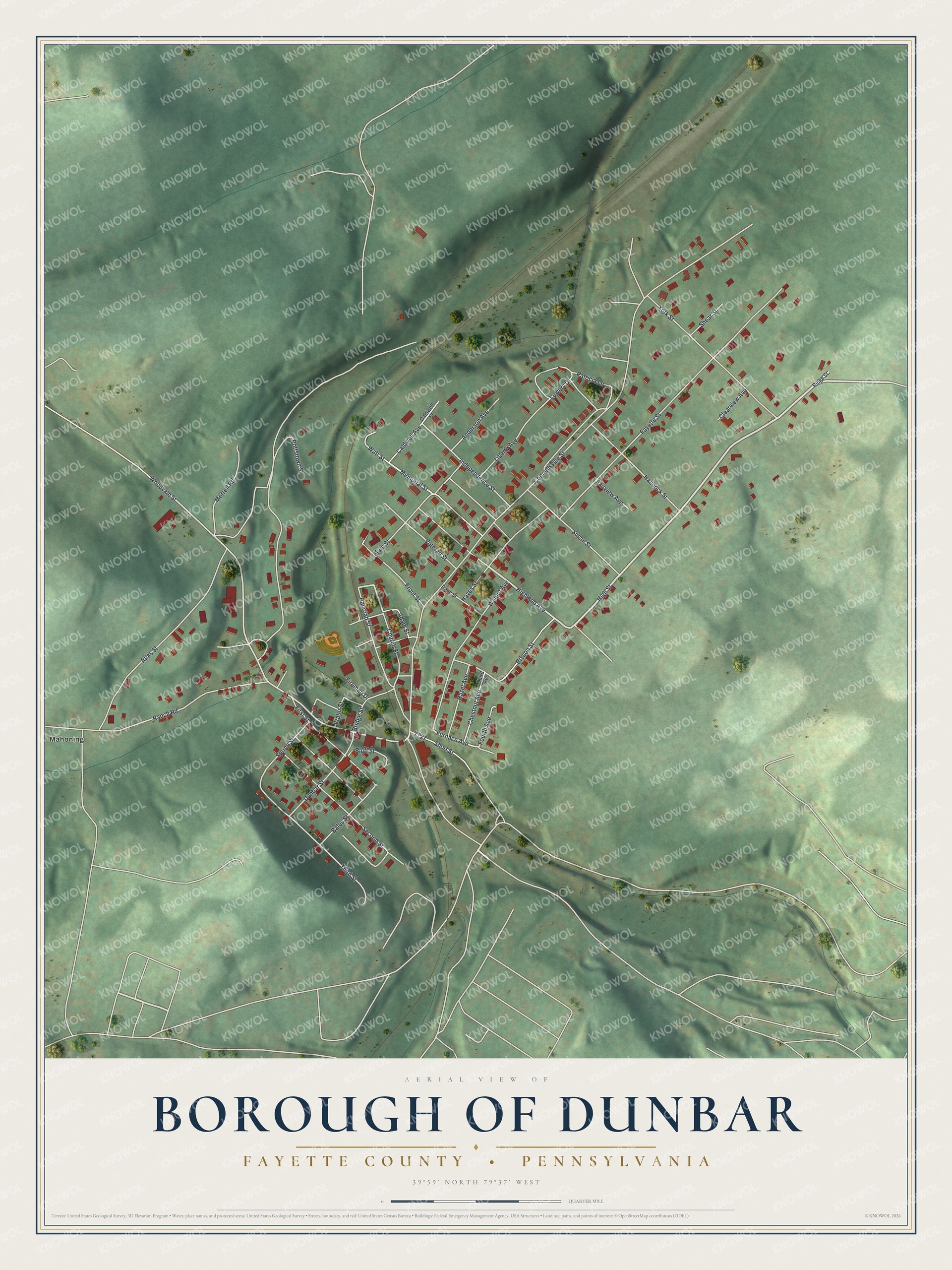
Created by KNOWOL in 2026, this print shows Dunbar from above. Soft green hills fold around the town, white streets cross the slopes, and each of the 835 buildings is a small red shape. The cream title panel reads "Aerial View of Borough of Dunbar," then "Fayette County • Pennsylvania," with the coordinates 39°59' North 79°37' West.
It fits a living room, a hallway or a home office. It's a good gift for someone who grew up near Furnace Avenue or down in Mahoning, or for anyone from Dunbar who has moved away. Open the preview and find your street. See sizes and frames for the Borough of Dunbar, Fayette County map.