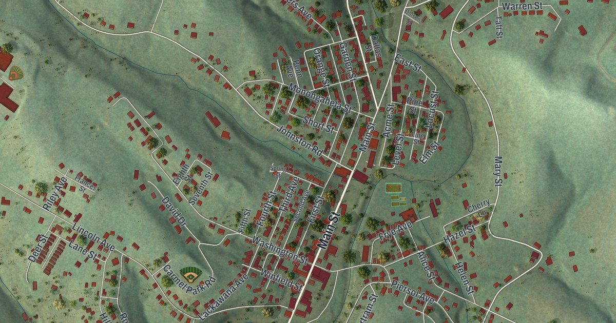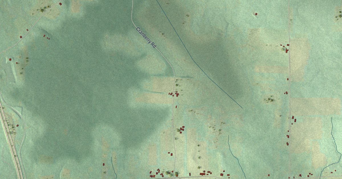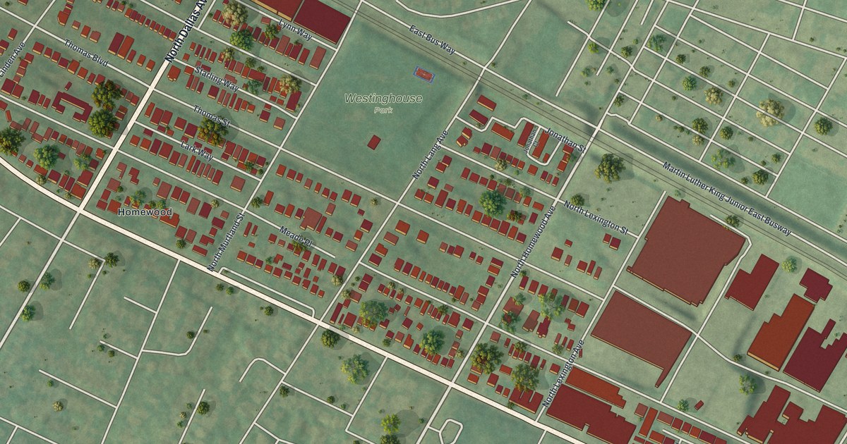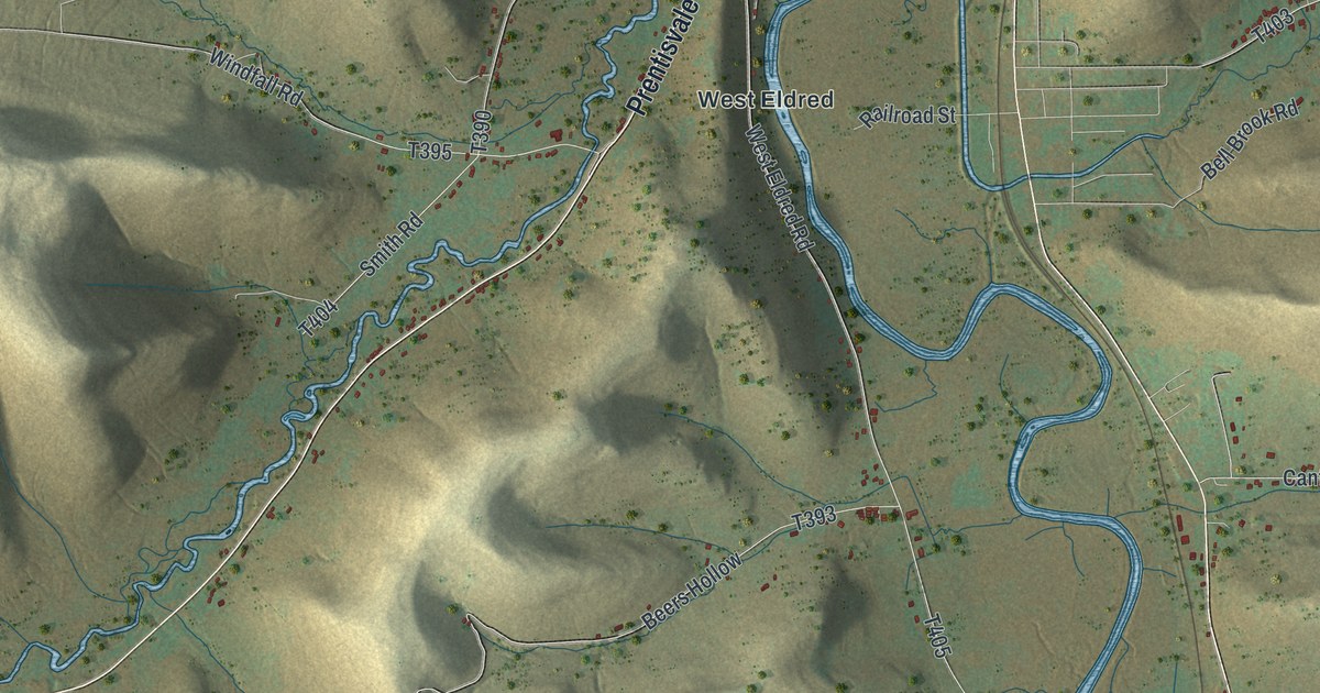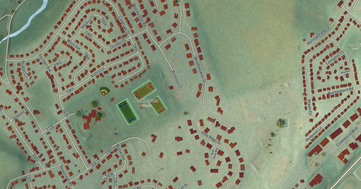
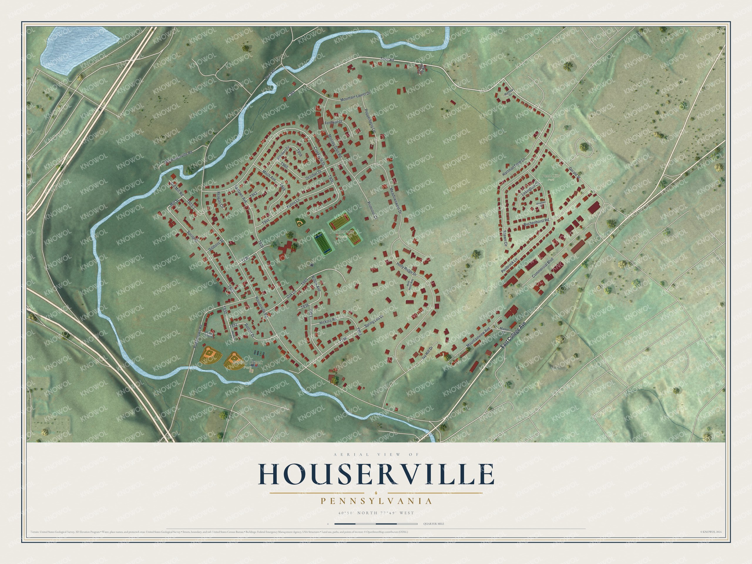
This beautifully detailed map of Houserville, Pennsylvania was created in 2026 using aerial imagery combined with modern topographical, census, street and landmark data. It's a modern aerial view of Houserville in Centre County, Pennsylvania, that combines modern data with a vintage aesthetic. The roads feature printed names, and if you look closely you can find your exact house accurately shown in its correct location.
Explore an aerial view of Houserville, Pennsylvania
On this map you'll find Fogleman Fields, Spring Creek Park, Penn Hills Park, East College Avenue, T365, Gerald Street, Hartman Farm Lane, Trout Road, Houserville Road, T720, T904, Creekside Drive, and more. Each red shape is a building, so zoom in on the preview and look for yours.
Houserville is a community in Centre County. The Census Bureau counted 1,978 people here in 2020. Houserville sits about 3 miles northeast of State College, 3 miles east of Toftrees and 3 miles southwest of Peru. The map prints the town name in its title panel, with the coordinates below it.
Take a closer look at the Houserville map
Names on this map
These names are printed on this map.
Places: Fogleman Fields, Spring Creek Park and Penn Hills Park.
Streets and roads: East College Avenue, Gerald Street, Hartman Farm Lane, Trout Road, Houserville Road, Creekside Drive, Buchenhorst Road, Holly Ridge Drive, Meadowsweet Drive, Puddintown Road, Penbrook Lane, Old Houserville Road.
More street names, A to Z
Bottorf Drive, College 08 Road, Commercial Boulevard, Fairlawn Avenue, Fernleaf Court, Gibbons Street, Heather Circle, Hickory Road, Ivy Hill Drive, Kuhns Lane, Lexington Circle, Manor Drive, Matthew Circle, Meadow Lane, Mill Street, Mitch Avenue, Mossey Glen Road, Mountain Laurel Drive, Mountainview Avenue, Oak Lane, October Drive, Old Mill Road, Pepperberry Lane, Primrose Court, Reagan Circle, Rhaubert Circle, Rock Road, Shawn Circle, Spring Creek Lane, Spring Lea Drive, Spring Street, Wild Rose Way, Willow Avenue.
See it on a wall
The Houserville map as a framed print. Swipe for more.


Created by KNOWOL in 2026. The buildings are small red shapes, the roads carry their printed names, and shaded relief shows the shape of the land. The title panel reads "AERIAL VIEW OF HOUSERVILLE, PENNSYLVANIA" with 40°50' NORTH 77°49' WEST.
It suits a den, a classroom or a front hall, and it makes a gift for anyone with Houserville roots. Open the preview and find the block you know. See sizes and frames for the Houserville map.