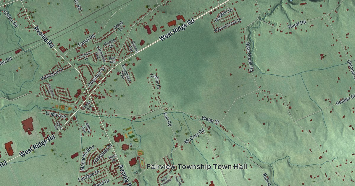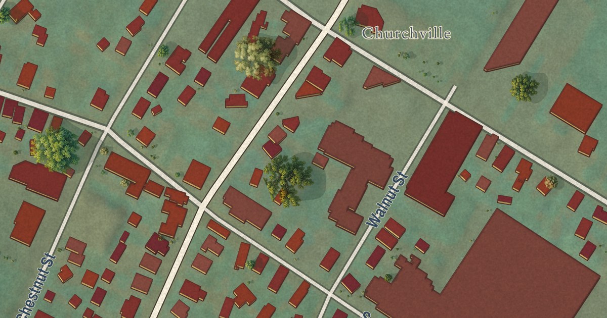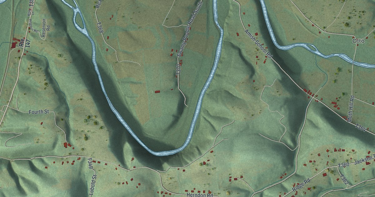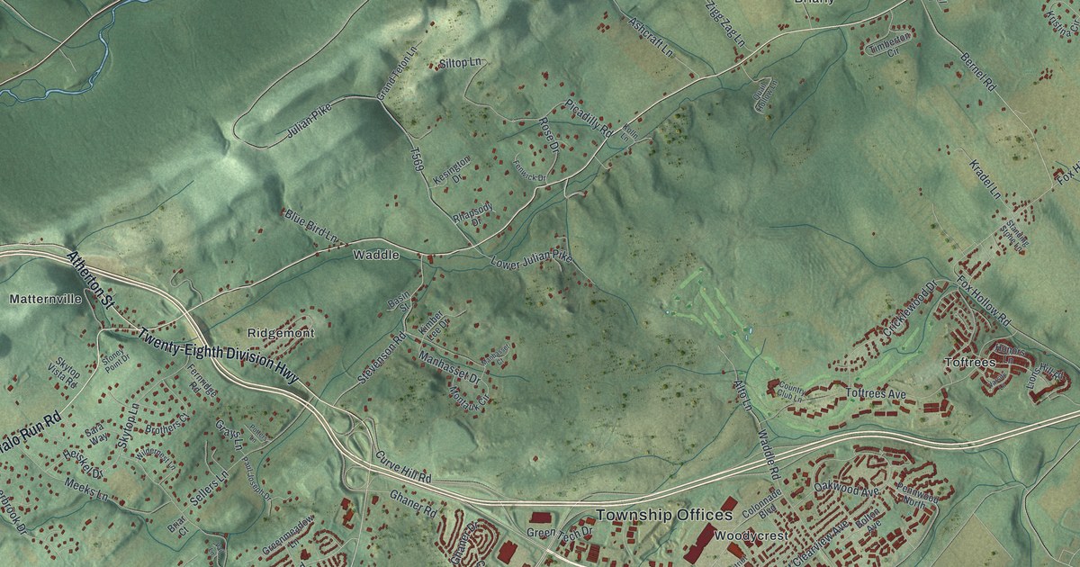
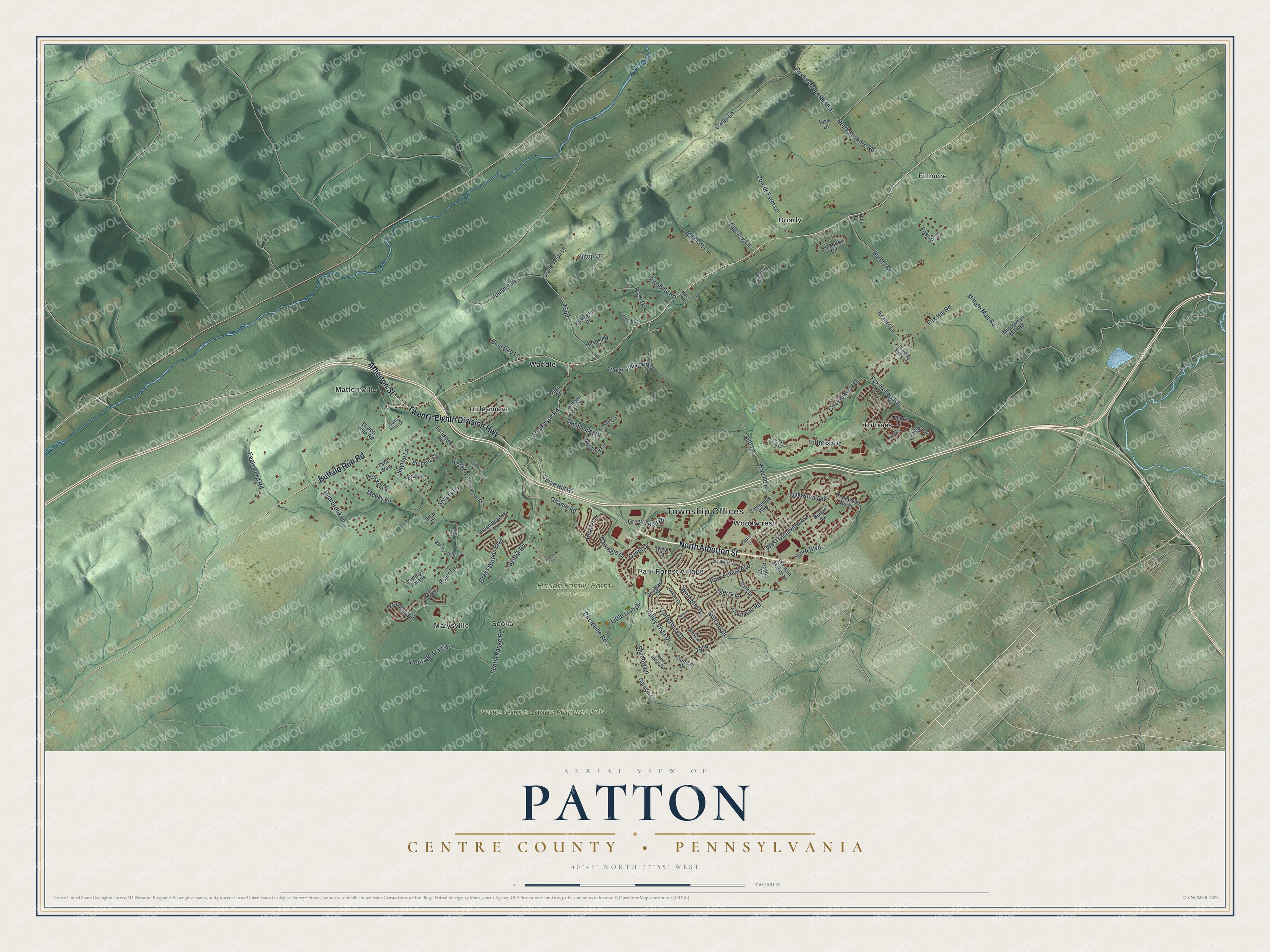
This beautifully detailed map of Patton, Centre County, Pennsylvania was created in 2026 using aerial imagery combined with modern topographical, census, street and landmark data. It’s a one-of-a-kind view of Patton that combines accurate data with a vintage aesthetic. The map shows every building in its true location, many of the roads carry their names, and the shaded topographic relief shows the shape of the land.
Explore an aerial view of Patton, Centre County, Pennsylvania
On the map you’ll find Township Offices, Haugh Family Farm Open Space, State Game Lands Number 176, Briarly, Fillmore, Marysville, Matternville, Park Forest Village, Ridgemont, Scotia, Toftrees, Waddle, and more. If you look closely you can even find your house accurately drawn in its correct location. Zoom in on the preview to look for yours.
Did you know this piece of Patton, Centre County, Pennsylvania history?
Patton Township was formed in 1794. It took its name from Colonel John Patton, an officer of the Revolution. Patton was a co-owner of Centre Furnace with Colonel Samuel Miles. Iron ore mined in the township fed that furnace.
Take a closer look at the Patton, Centre County map
Street and place names on the Patton, Centre County, Pennsylvania map
These names are printed on the map of Patton, Centre County, Pennsylvania.
Places: Township Offices, Haugh Family Farm Open Space, State Game Lands Number 176, Briarly, Fillmore, Marysville, Matternville, Park Forest Village, Ridgemont, Scotia, Toftrees, Waddle and Woodycrest.
Streets and roads: North Atherton Street, Atherton Street, Buffalo Run Road, Twenty-Eighth Division Highway, Grays Woods Boulevard, Circleville Road, Valley Vista Drive, Fox Hollow Road, Heiskel Drive, Meeks Lane, Scotia Range Road, Julian Pike.
More street names, A to Z
Alto Lane, Ashcraft Lane, Basin Street, Bernel Road, Blackberry Hill, Blue Bird Lane, Bolton Avenue, Briar Court, Brittany Drive, Brothers Court, Brynwood Drive, Camp Lane, Canterbury Drive, Carnegie Drive, Carogin Drive, Colonnade Boulevard, Confer Farm Lane, Cornwall Road, Country Club Lane, Crandall Drive, Cricklewood Drive, Curve Hill Road, Dahlia Drive, Deerbrook Drive, Douglas Drive, Eagle Field Road, Fenwick Drive, Fernridge Road, Fox Hill Road, Franklin Manor Lane, Galen Drive, Ghaner Drive, Ghaner Road, Grand Teton Lane, Grays Lane, Greenmeadow Lane, Green Tech Drive, Heritage Trail Road, Honors Lane, Horner Lane, Hull Lane, Hunter Wood Way, Kesington Drive, Kimber Lee Drive, Kline Lane, Kolln Lane, Kradel Lane, Kristina Circle, Lions Hill Road, Little Lion Drive, Lower Julian Pike, Manhasset Court, Manhasset Drive, Melissa Lane, Minuteman Man Road, Minute Man Road, Montauk Circle, North Fillmore Road, North Oak Lane, Oakley Drive, Oakwood Avenue, Pantops Parade, Park Forest Avenue, Park Lane, Patriot Lane, Paul Joseph Drive, Pennwood North, Picadilly Road, Piper Lane, Potters Lane, Purdue Mountain Road, Quail Hollow Lane, Rhapsody Drive, Rose Drive, Sandy Ridge Road, Sara Way, Scotia Road, Sellers Lane, Severn Drive, Shadow Lane, Sierra Lane, Siltop Lane, Skytop Lane, Skytop Vista Road, Standing Stone Lane, Stevenson Road, Stoney Point Drive, Sylvan Drive, Timberton Circle, Toftrees Avenue, Vail Lane, Vairo Boulevard, Varsity Lane, Waddle Road, West Clearview Avenue, Westgate Drive, Wildernest Lane, Zigg Zag Lane.
See the Patton, Centre County, Pennsylvania map on a wall
The Patton, Centre County map as an 18 x 24 inch print in a black frame.

This beautifully detailed map of Patton, Centre County makes an attractive addition to your office, library, or den, and it can even be used to teach children the geography and history of the area. It also makes a great gift for anyone who grew up in Patton or moved away. When you’re done exploring, click here to get your copy of the Patton, Centre County map.