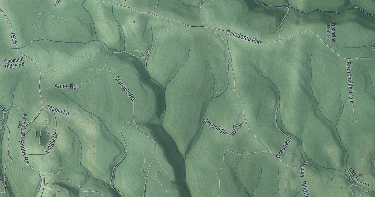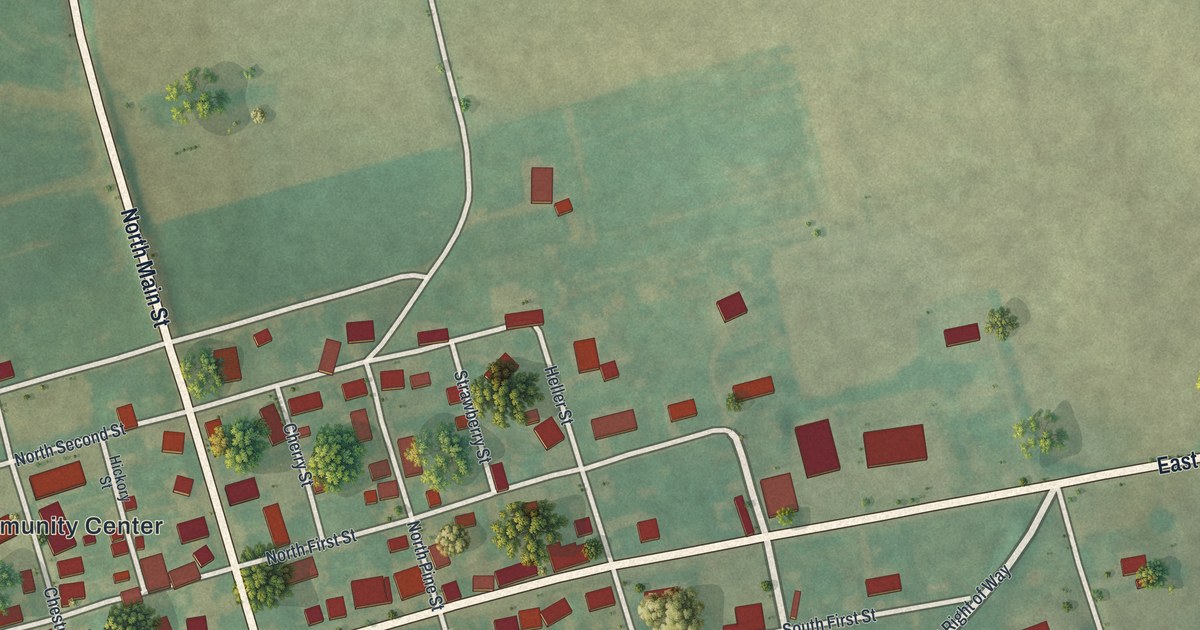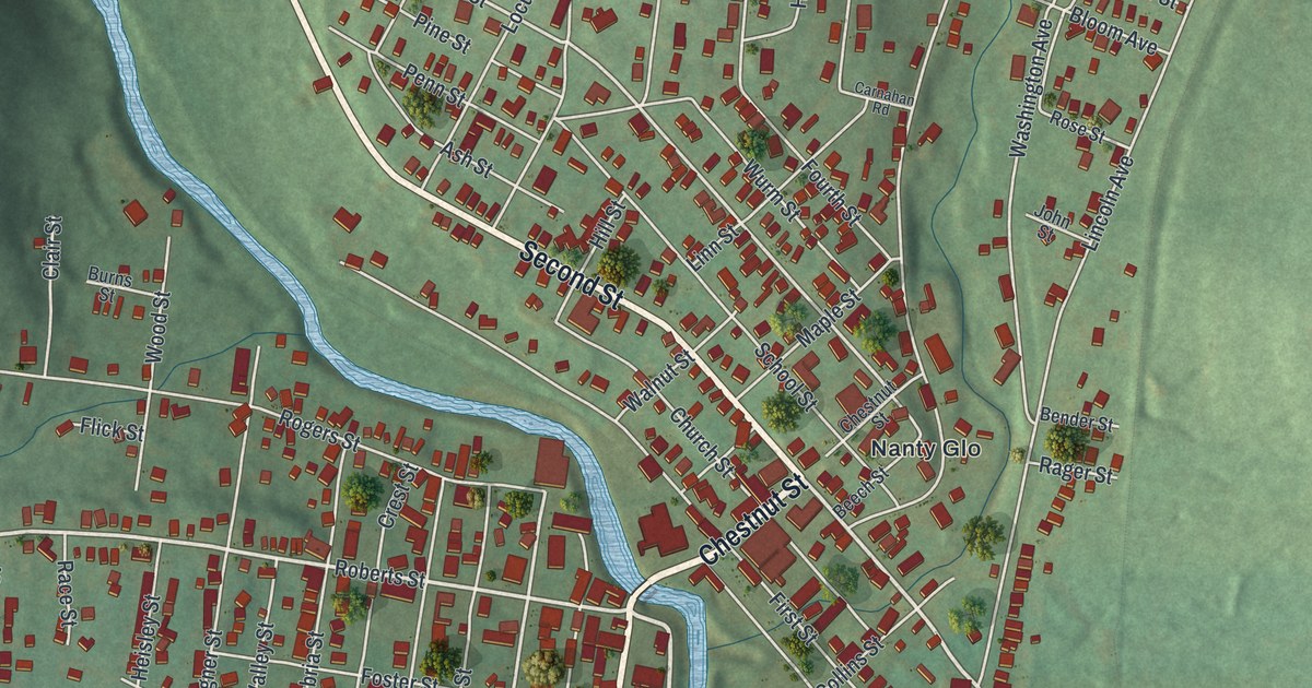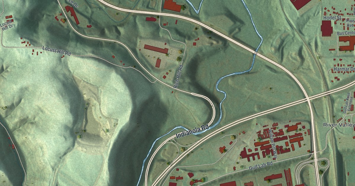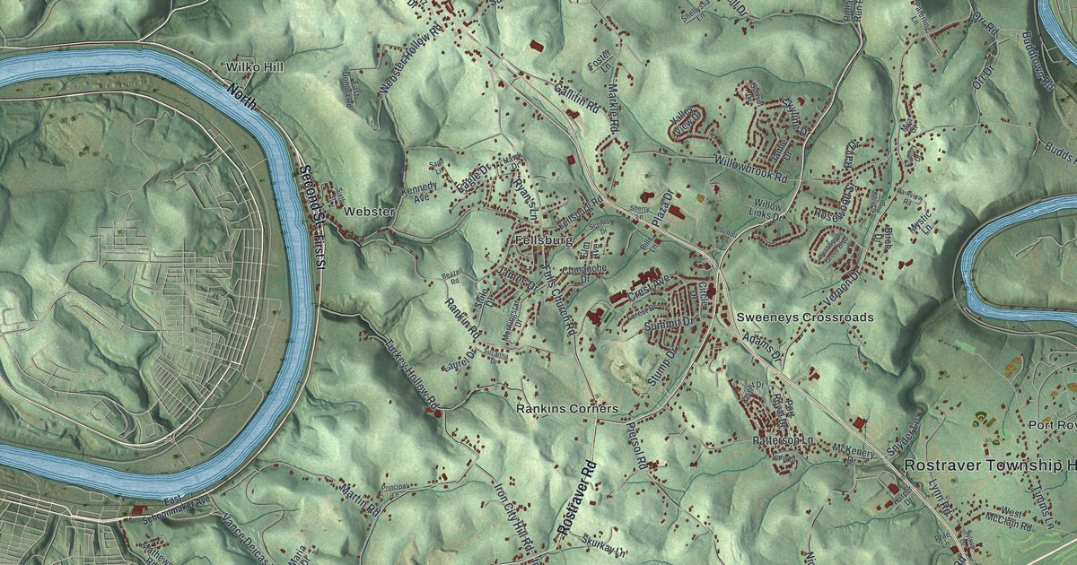
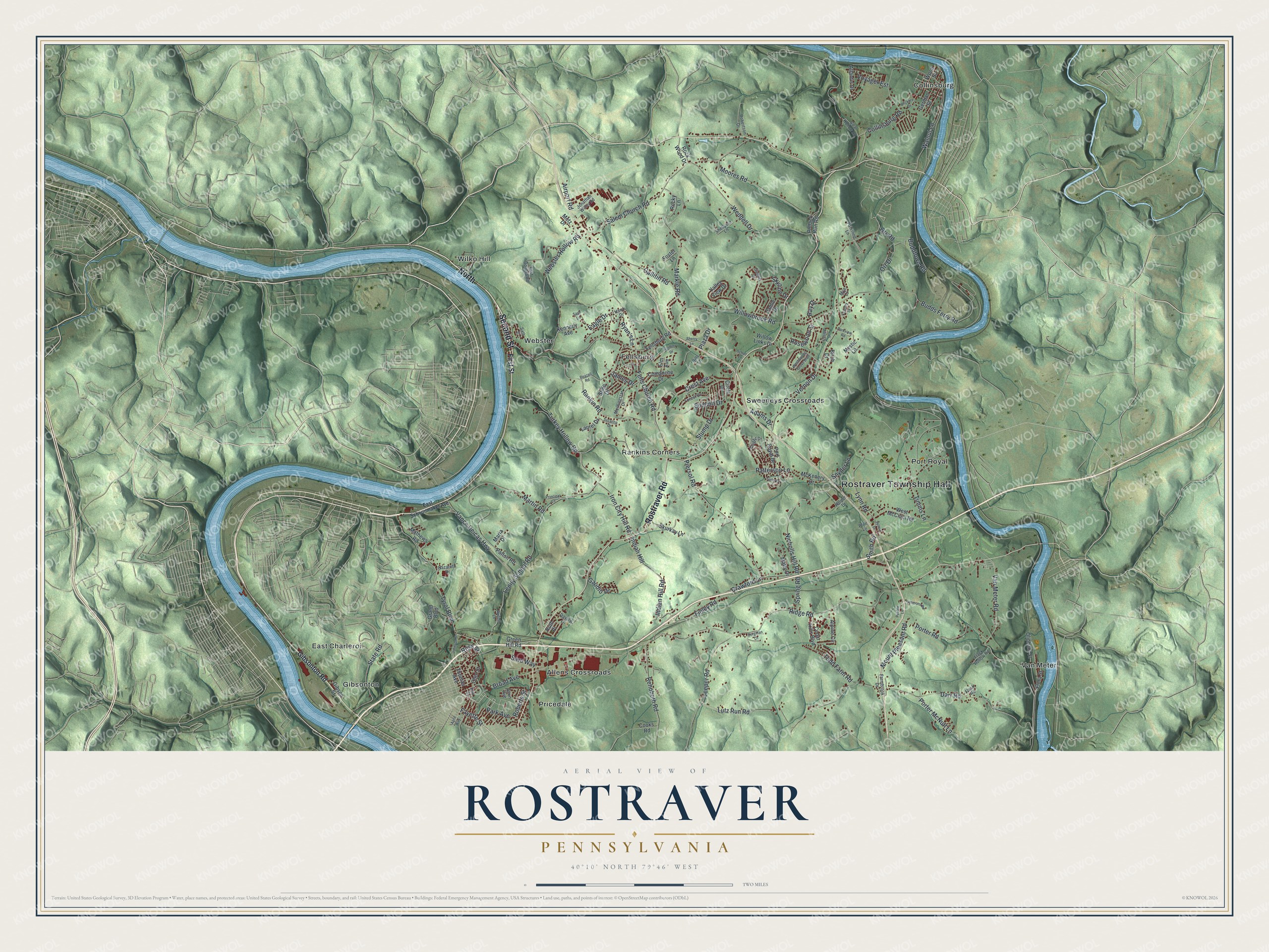
This beautifully detailed map of Rostraver, Pennsylvania was created in 2026 using aerial imagery combined with modern topographical, census, street and landmark data. It's a modern aerial view of Rostraver in Westmoreland County, Pennsylvania, that combines modern data with a vintage aesthetic. The roads feature printed names, and if you look closely you can find your exact house accurately shown in its correct location.
Explore an aerial view of Rostraver, Pennsylvania
On this map you'll find Rostraver Township Hall, Allens Crossroads, Collinsburg, East Charleroi, Fellsburg, Gibsonton, Port Royal, Pricedale, Rankins Corners, Sweeneys Crossroads, Van Meter, Webster, and more. Each red shape is a building, so zoom in on the preview and look for yours.
Rostraver has a story worth telling. The Internet Archive puts it this way: "The first year
after the adoption of the school law two new houses
were built, one at Leusty, and the other at Iowa."
Rostraver is a place in Westmoreland County. The Census Bureau counted 11,393 people here in 2020.
Take a closer look at the Rostraver map
Names on this map
These names are printed on this map.
Places: Rostraver Township Hall, Allens Crossroads, Collinsburg, East Charleroi, Fellsburg, Gibsonton, Port Royal, Pricedale, Rankins Corners, Sweeneys Crossroads, Van Meter, Webster and Wilko Hill.
Streets and roads: North, Second Street, Rostraver Road, Fayette Street, Lenity School Road, Broad Avenue, Lutz Run Road, Finley Road, Ridge Road, Vernon Drive, Willowbrook Road, Collinsburg Road.
More street names, A to Z
Adams Drive, Airport Road, Allen Avenue, Alpine Circle, April Way, Atlantis Drive, Beazell Road, Bergman Lane, Bills Lane, Birch Drive, Budds Ferry Road, Buddtown Road, Cedar Hills Boulevard, Circle Drive, Coal Hollow Road, Comanche Drive, Cooks Road, Country Drive, Crawford Lane, Crest Avenue, Darr Road, Daylily Lane, Eagle Drive, East Donora Road, East Schoonmaker Avenue, Elm Avenue, Farmbrook Drive, Fellsburg Road, Fells Church Road, First Street, Flack Hollow Road, Flack Road, Flora Street, Forest Drive, Foster Lane, Galileo Drive, Gallitin Road, Gaudio Drive, German Street, Gibson Street, Gibsonton Road, Grand Boulevard, Green Hill Road, Harper Drive, Hawk Drive, Hickory Drive, Indian Hill, Indian Hill Road, Iron City Hill Road, James Drive, Jamie Drive, Johnson Street, Jonathan Willey Road, Kennedy Avenue, Knight Drive, Laurel Drive, Leeper Road, Lynn Road, Maria Drive, Markle Road, Martin Road, Mathews Road, Matty Drive, McKenery Drive, Metz Drive, Moores Road, Morningstar Drive, Mount Pleasant Road, Mya Court, Mystic Lane, Nazareth Drive, Nicholls Hill Road, Ohio Street, Oliphant Street, Orr Drive, Orr Road, Park Avenue, Parkview Road, Paterline Lane, Patterson Lane, Patton Road, Pebble Lane, Pfile Lane, Piersol Road, Plaza Drive, Pollack Run Road, Porter McNutt Lane, Porter Road, Port Royal Drive, Principal Lane, Rankin Road, Ray Drive, Rehoboth Road, Robertson Drive, Roberts Street, Rock Wood Drive, Rocky Lane, Rosewood Street, Ross Street, Roy Street, Ruth Place, Ryan's Lane, Sage Lane, Salem Church Road, Sara Way, Scenery Drive, Scholl Lane, Shellyssa Lane, Sherry Lane, Shilo Drive, Simmons Road, Sixth Street, Skurkay Lane, Skyline Drive, Smith Road, Snyder Lane, Spring Road, State Road, Stump Drive, Summit Drive, Sunset Drive, Suzanna Drive, Sylvan Drive, Thomas Avenue, Timms Lane, Todd Farm Road, Tudor Drive, Turkey Hollow Road, Tyrol Boulevard, Valley View Drive, Vance Deicas Highway, Van Meter Road, Voyager Est, Walnut Lane, Webster Hollow Road, Weddell Drive, West McClain Road, West Spring Grove Boulevard, Willow Links Drive, Wood Street, Writing Lane.
Created by KNOWOL in 2026. The buildings are small red shapes, the roads carry their printed names, and shaded relief shows the shape of the land. The title panel reads "AERIAL VIEW OF ROSTRAVER PENNSYLVANIA" with 4, 0, °, 1, 0, ', , N, O, R, T, H, , 7, 9, °, 4, 6, ', , W, E, S, T.
It looks right in a kitchen, an office or a den, and it's a gift for anyone who grew up in Rostraver or moved away. Open the preview and find your street. See sizes and frames for the Rostraver map.