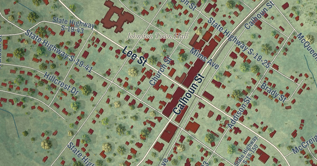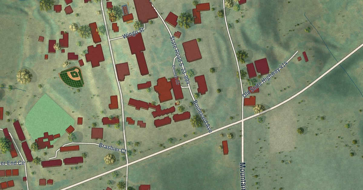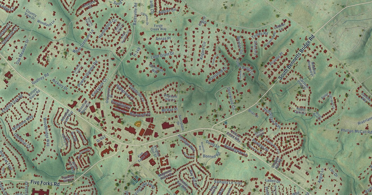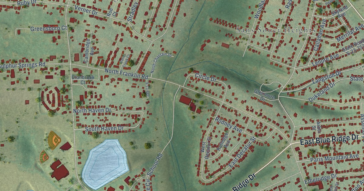
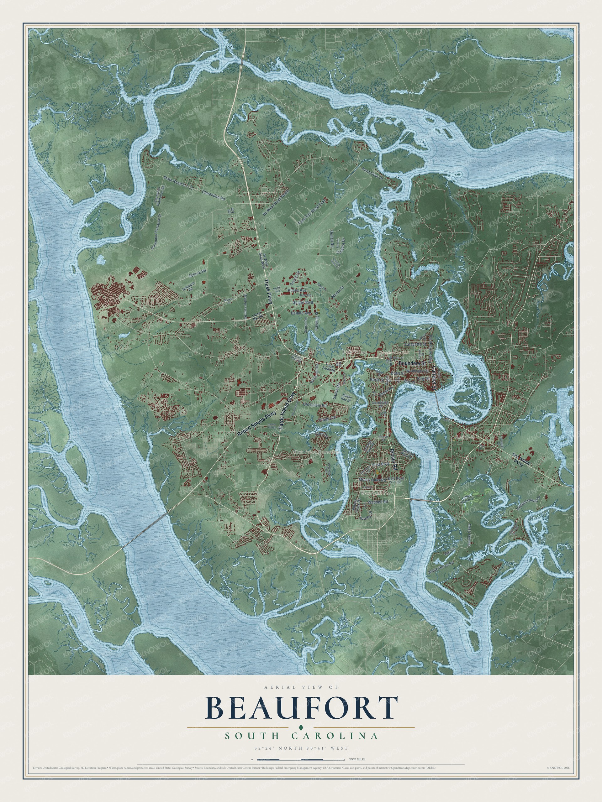
This beautifully detailed map of Beaufort, South Carolina was created in 2026 using aerial imagery combined with modern topographical, census, street and landmark data. It’s a one-of-a-kind view of Beaufort that combines accurate data with a vintage aesthetic. The map shows every building in its true location, many of the roads carry their names, and the shaded topographic relief shows the shape of the land.
Explore an aerial view of Beaufort, South Carolina
On the map you’ll find Beaufort City Hall, Colonial Heights, Mink Point Plantation, Polk Village, Red Oak, Salt Creek, Walsh, Waterford Place, and Parris Island Gtwy, along with Ribaut Road, Trask Parkway, Boundary Street, and more. If you look closely you can even find your house accurately drawn in its correct location. Zoom in on the preview to look for yours.
Did you know this piece of Beaufort, South Carolina history?
From Scencyclopedia.org: "Beaufort College, the second-oldest college in South Carolina, was founded in 1795."
Take a closer look at the Beaufort map
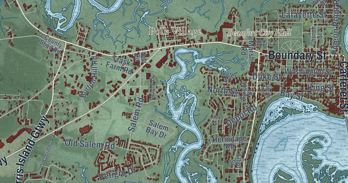
Street and place names on the Beaufort, South Carolina map
These names are printed on the map of Beaufort, South Carolina.
Places: Beaufort City Hall, Mink Point Plantation, Red Oak, Waterford Place and Polk Village.
Streets and roads: Parris Island Gtwy, Ribaut Road, Trask Parkway, Boundary Street, Carteret Street, Robert Smalls Parkway, Islands Causeway, Rc West Road North, Distant Island Drive, State Road S-7-71, Clarendon Road, Quilali Road.
More street names, A to Z
Allison Road, Azalea Drive, Battery Creek Road, Bay Drive, Bay Street, Broad Street, Burton Hill Road, Charlotte Amalie Drive, Church Street, Clarendon Plantation Drive, Clarendon Plantation Road, Cottage Farm Drive, Cougar Drive, County Shed Road, Culebra Drive, Deanne Drive, De la Gaye Point, Delalio Avenue, Depot Road, Drayton Street, Duke Street, East Street, Elliott Street, Esteli Drive, Ferry Drive, First Boulevard, Funa Futi Road East, Geiger Boulevard, Gibbs Island Drive, Glebe Street, Goethe Hill Road, Hay Street, Hermitage Road, Ihly Road, Itami Avenue, Ivy Lane, Kavieng Street, Kimes Avenue, King Street, Lafayette Street, Laurel Bay Road, Marsh Road, Moore Street, Morris Street, Mossy Oaks Road, Neil Road, North Street, Old Jericho Road, Old Salem Road, Otter Circle, Perryclear Drive, Petigru Drive, Pigeon Point Road, Rc West Road West, Reed Avenue, Salem Bay Drive, Salem Road, Schork Road, Schwartz Road, Sea Island Parkway, Shanklin Road, Simpson Street, Spanish Point Drive, Stanley Farm Road, State Road S-7-151, State Road S-7-159, State Road S-7-456, Sunset Road, Trask Farm Road, Waddell Road, Waight Street, Washington Street, Water Street, White Hall Drive, White Horse Road, Wilson Drive.
See the Beaufort, South Carolina map on a wall
The Beaufort map as an 18 x 24 inch print in a black frame.

This beautifully detailed map of Beaufort makes an attractive addition to your office, library, or den, and it can even be used to teach children the geography and history of the area. It also makes a great gift for someone who left Beaufort and still calls it home. When you’re done exploring, click here to get your copy of the Beaufort map.