The KNOWOL atlas South CarolinaFind your place
South Carolina Map Prints
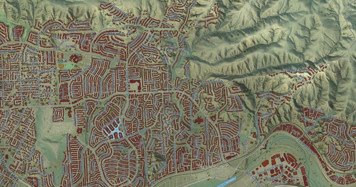
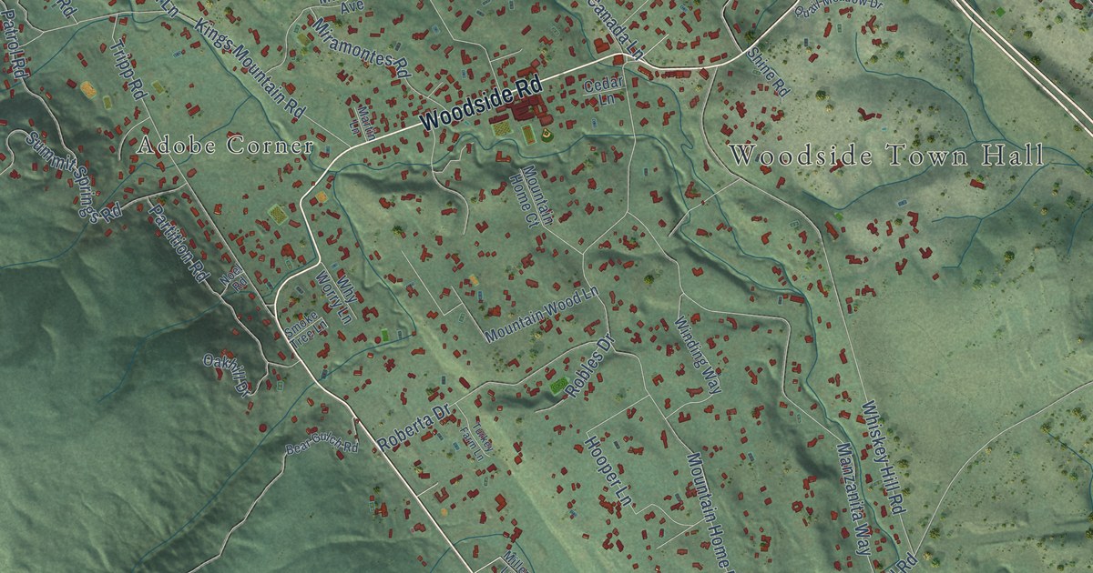
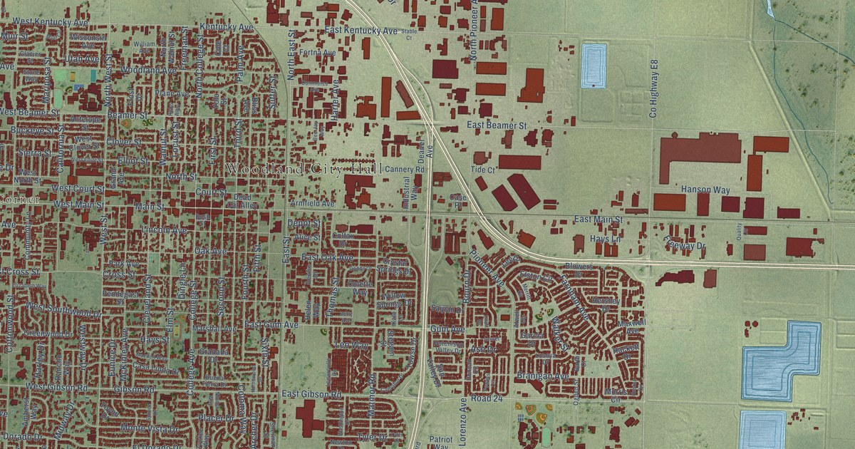
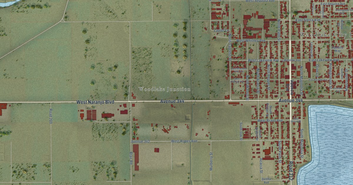
Find your town on this map of South Carolina, drawn with the detail and character of an old atlas, then look for your street.
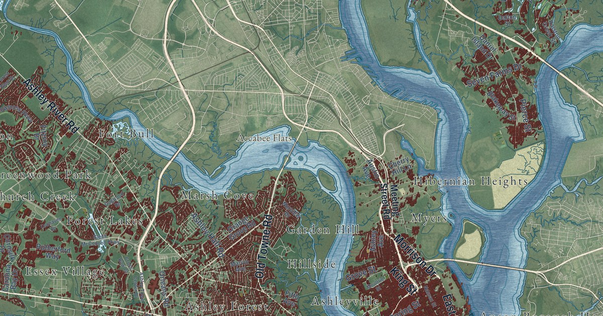
Charleston CountyCharleston
↗Every place has a story
Let’s find yours.
Find your town on the map,
or search it by name.
Abbeville County
Aiken County
Allendale County
Anderson County
Bamberg County
Barnwell County
Beaufort County
Berkeley County
Calhoun County
Charleston County
Cherokee County
Chester County
Chesterfield County
Clarendon County
Colleton County
Darlington County
Dillon County
Dorchester County
Edgefield County
Fairfield County
Florence County
Georgetown County
Greenville County
Greenwood County
Hampton County
Horry County
Jasper County
Kershaw County
Lancaster County
Laurens County
Lee County
Lexington County
Marion County
Marlboro County
McCormick County
Newberry County
Oconee County
Orangeburg County
Pickens County
Richland County
Saluda County
Spartanburg County
Sumter County
Union County
Williamsburg County
York County
Your place might still be on its way.
Try another spelling, choose a different county, or reset your search.
Request a map of your town ↗Each place opens its map.Take a little detour ↓
Worth a closer look
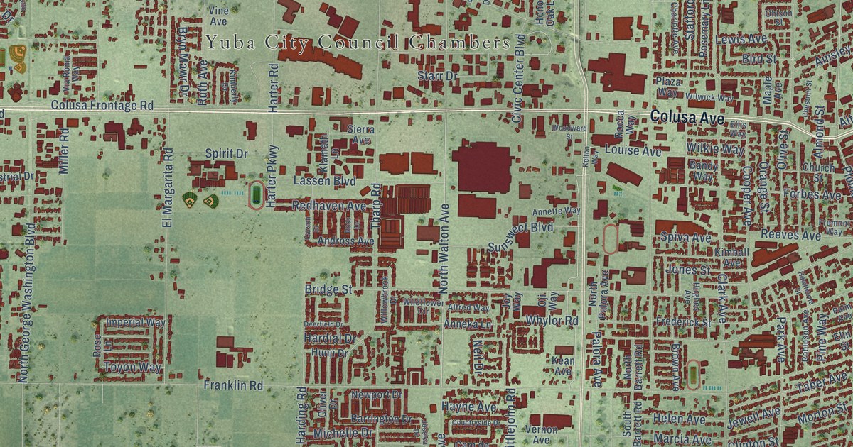
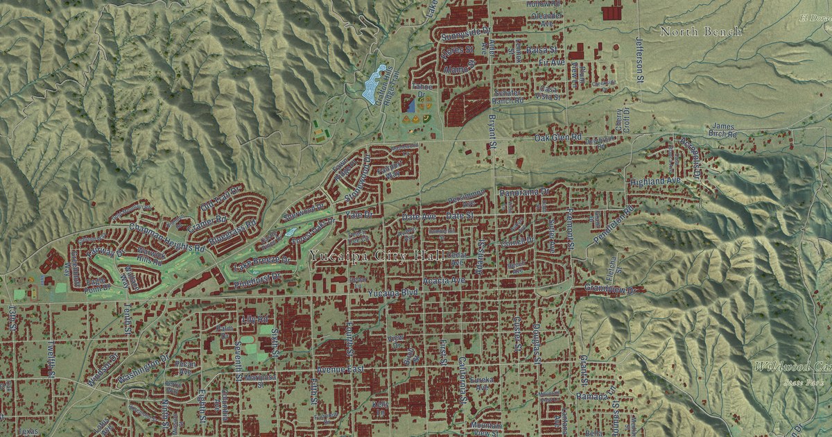
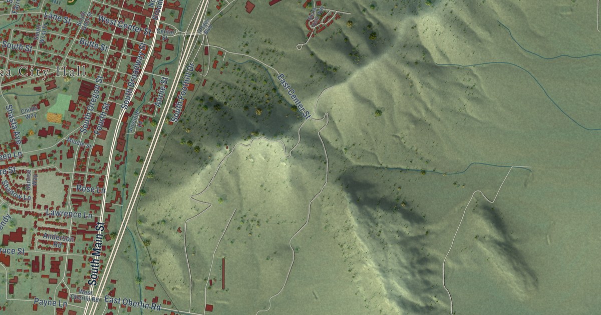
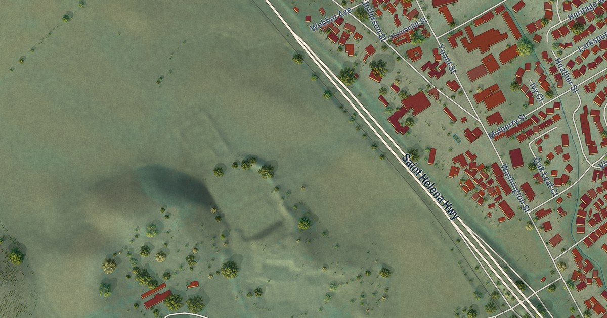
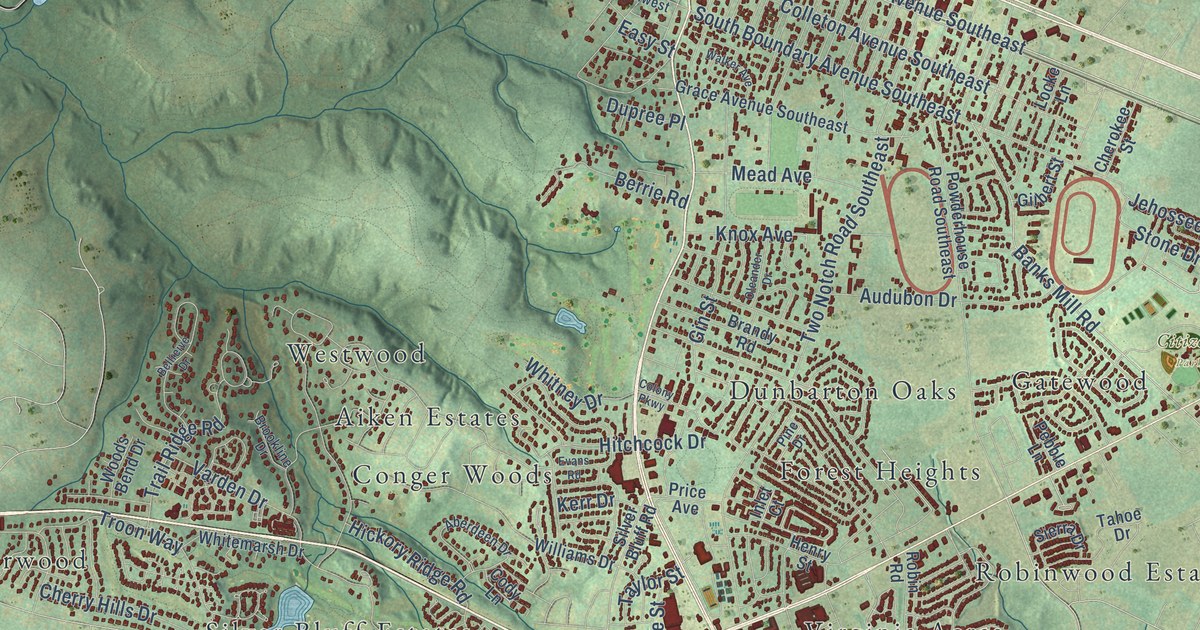
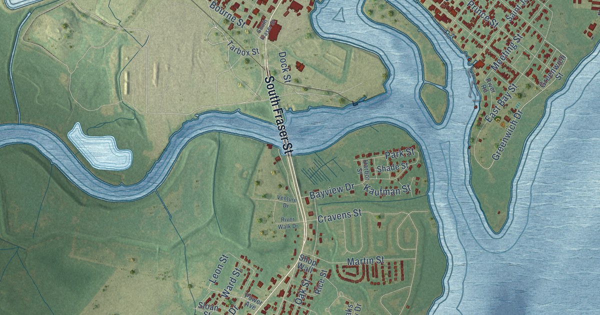
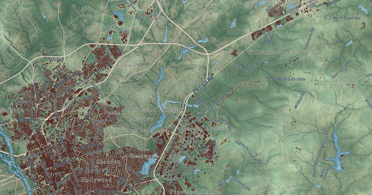
A few places to begin.
Follow a familiar street. Find a new favorite. There is a story in the detail.
Made for the place you love
A little closer.
A little more familiar.
A bend in the river. The street you grew up on. The shape of the town you still call home. A map brings those small, familiar things together in one place.
- 01Start with the real place.
Streets, buildings, terrain, and water form the map.
- 02Bring the details together.
Local research and an old atlas style give each place its character.
- 03Make room for home.
Explore the map, then choose a print to keep or give.
South Carolina, one place at a time.Find your town ↑