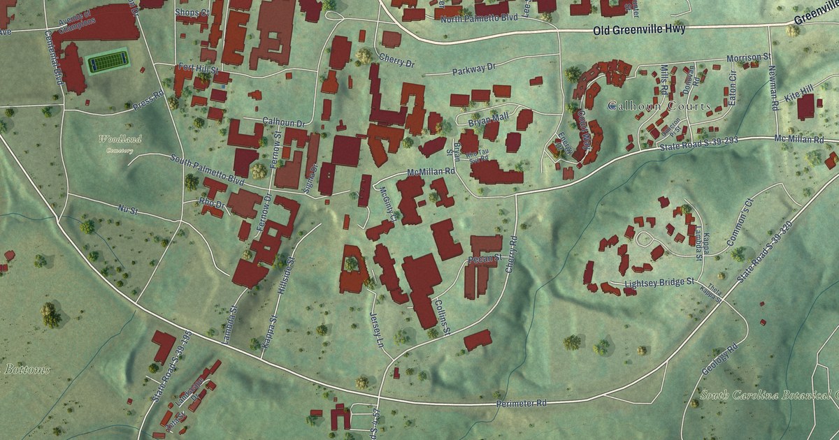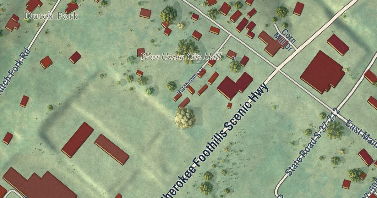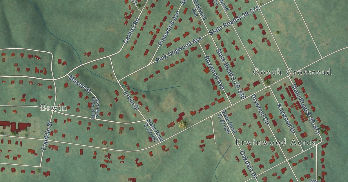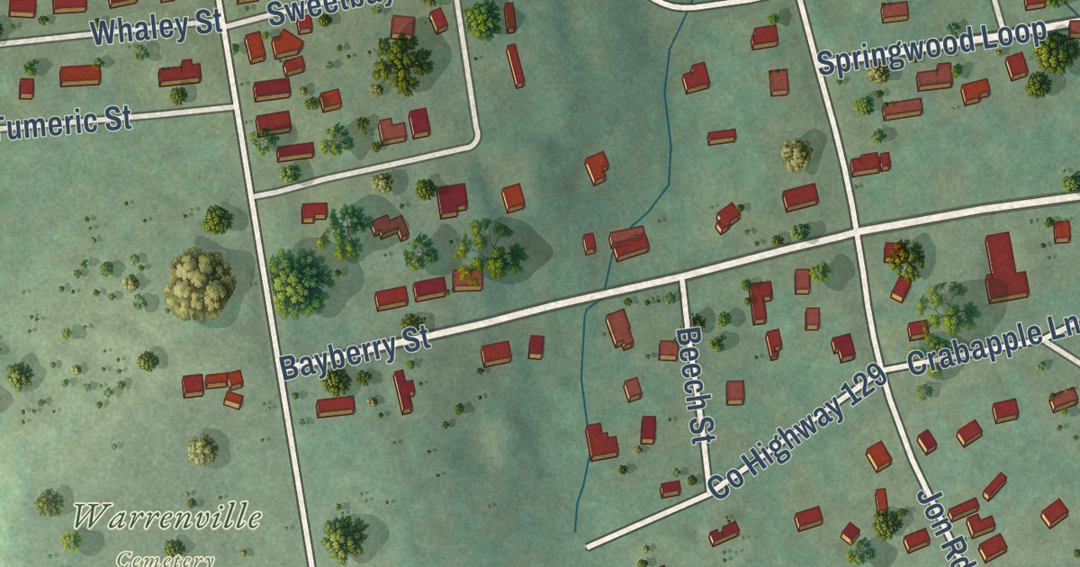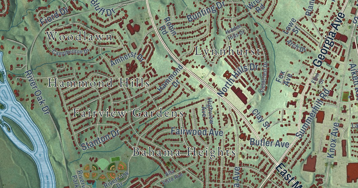
This beautifully detailed map of North Augusta, South Carolina was created in 2026 using aerial imagery combined with modern topographical, census, street and landmark data. It’s a one-of-a-kind view of North Augusta that combines accurate data with a vintage aesthetic. The map shows every building in its true location, many of the roads carry their names, and the shaded topographic relief shows the shape of the land.
Explore an aerial view of North Augusta, South Carolina
On the map you’ll find Bahama Heights, Brierfield, Brogden, Carolina Heights, Crestland, Edgefield Heights, Fairview Gardens, Hamburg, Hammond Hills, Lakewood, Lynnhurst, Martintowne, and more. If you look closely you can even find your house accurately drawn in its correct location. Zoom in on the preview to look for yours.
Did you know this piece of North Augusta, South Carolina history?
From Scencyclopedia.org: "Incorporated on April 11, 1906, the city grew on the site of the antebellum town of Hamburg."
Take a closer look at the North Augusta map
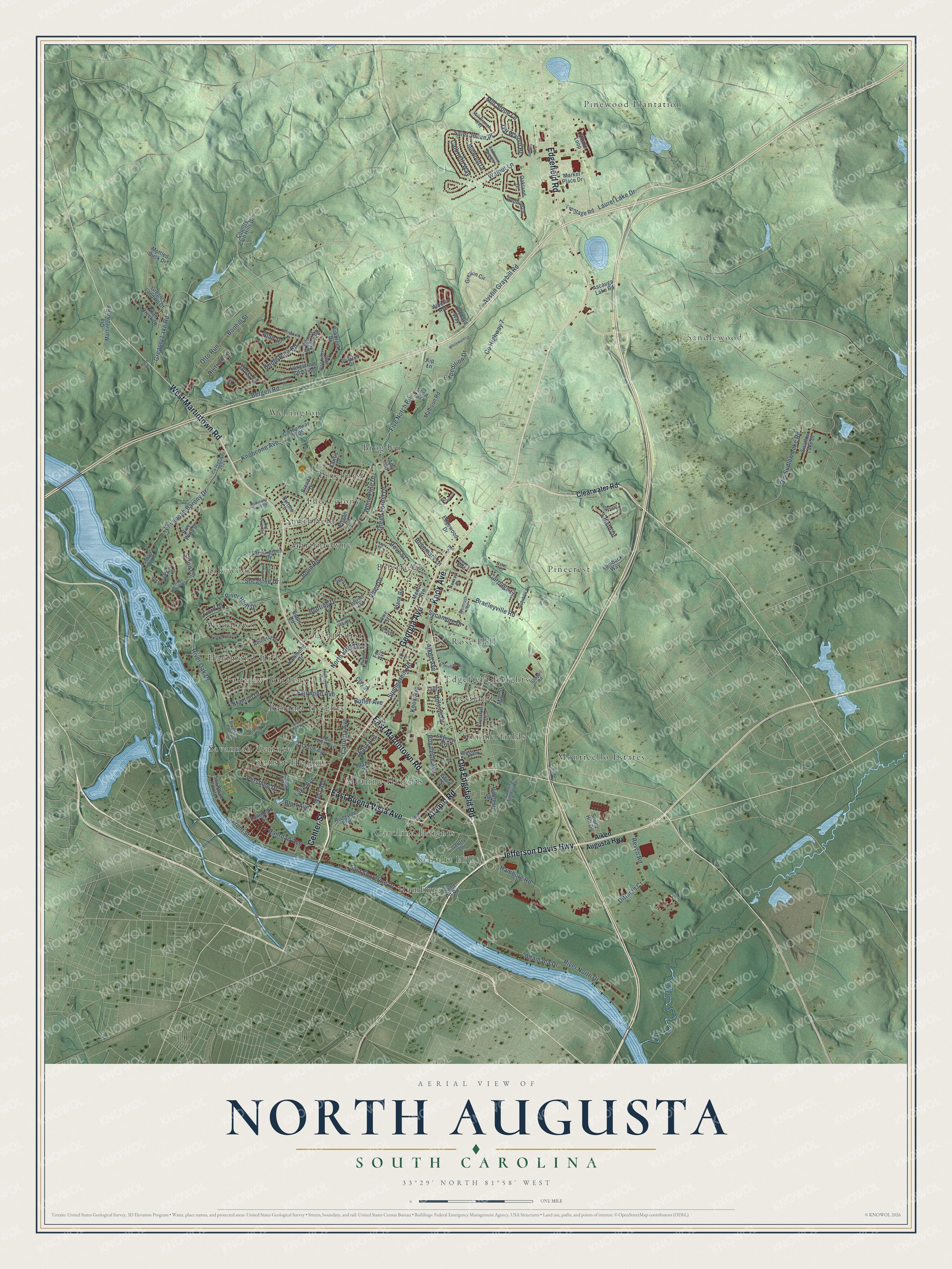
Street and place names on the North Augusta, South Carolina map
These names are printed on the map of North Augusta, South Carolina.
Places: Bahama Heights, Brierfield, Brogden, Carolina Heights, Crestland, Edgefield Heights, Fairview Gardens, Hamburg, Hammond Hills, Lakewood, Lynnhurst, Martintowne, Mealing Heights, Monticello Estates, Pinecrest, Pinehurst, Pinewood Plantation, Rose Hill, Sandlewood, Savannah Terrace, Schultz Hill, Smithfield, Summerfields, Sunset Heights, The Colony, Wellington and Woodlawn.
Streets and roads: Edgefield Road, Georgia Avenue, East Martintown Road, Old Edgefield Road, Knox Avenue, Atomic Road, West Martintown Road, Jefferson Davis Highway, East Buena Vista Avenue, Center Street, Carolina Avenue, Five Notch Road.
More street names, A to Z
Adams Branch Road, Aiken Augusta Highway, Aiken Avenue, Alberta Avenue, Albion Loop, Allen Court, Altamaha Drive, Alta Vista Avenue, Amherst Drive, Amy Circle, Andrews Branch, Arch Drive, Ascauga Lake Road, Audubon Circle, Austin Graybill Road, Belair Road, Bentley Drive, Bergen Road, Big Pine Road, Blair Drive, Bluff Avenue, Bolin Road, Bonhill Street, Bradley Drive, Bradleyville Road, Brenda Drive, Bridle Path Road, Brookgreen Drive, Broxten Drive, Bunting Drive, Butler Avenue, Byrnes Circle, Calbrieth Way, Campbellton Drive, Carolina Springs Road, Carriage Lane, Claypit Road, Clay Street, Clearwater Road, Country Club Hills Drive, County Highway 7, County Highway 2024, County Highway 2025, Crestlyn Drive, Crystal Lake Drive, Curtis Drive, Dietrich Lane, Dittman Court, Dove Street, Durst Drive, East Avenue, East Shoreline Drive, Edgewood Drive, Edisto Drive, Expedition Drive, Fairlane Drive, Fairwood Avenue, Fallmouth Street, Fieldcrest Drive, Fiord Drive, Flint Street, Fox Avenue, Frontage Road, Front Street, Gentry Lane, Green Forest Drive, Gregory Lake Road, Gregory Landing Drive, Greyton Circle, Groves Boulevard, Gustav Court, Hamburg Road, Hammond Drive, Hammond Pond Road, Heil Drive, Hidden Hills Drive, Highview Avenue, Hillcrest Drive, Hillside Drive, Hugh Street, Jackson Avenue, Kenilworth Drive, Kip Lane, Knobcone Avenue, Lady Street, Lake Avenue, Lamback Way, Laurel Lake Drive, Longstreet Crossing, Lowe Street, Macklin Lane, Madison Road, Mae Street, Marion Avenue, Market Place Drive, Metz Drive, Mill Branch Way, Mill Stone Lane, Millwood Lane, Mottled Duck Drive, North Hills Drive, Norway Drive, Oakbrook Drive, Oak Creek Drive, Oakland Drive, Old Martintown Road, Old Sudlow Lake Road, Old Walnut Br, Orchard Way, Osprey Point, Otto Run, Pershing Drive, Pisgah Road, Plank Road, Plaza Place, Radio Station Road, Railroad Avenue, Redbud Drive, Revco Road, Ridgefield Drive, River Bluff Drive, River Bluff Road, River North Drive, River Oak Drive, Riverside Boulevard, Riverview Drive, Riverview Park Drive, River Wind Drive, Robin Road, Rosemary Lane, Royalette Avenue, Saint Julian Place, Sand Pit Road, Savannah Barony Drive, Savannah Pointe, Scott Drive, Seton Circle, Shoals Way Court, Short Street, Shultz Hill Drive, Siskin Circle, Skyview Avenue, Socastee Drive, Stanton Drive, Summerhill Road, Swallow Lake Drive, Sycamore Drive, Talisman Drive, Vireo Drive, Walnut Lane, West Avenue, West Forest Avenue, Weston Street, White Pine Drive, Whitewater Drive, Winyah Drive, Womrath Road, Woodstone Way, Wren Road.
See the North Augusta, South Carolina map on a wall
The North Augusta map as an 18 x 24 inch print in a black frame.

This beautifully detailed map of North Augusta makes an attractive addition to your office, library, or den, and it can even be used to teach children the geography and history of the area. It also makes a great gift for anyone who grew up in North Augusta or moved away. When you’re done exploring, click here to get your copy of the North Augusta map.