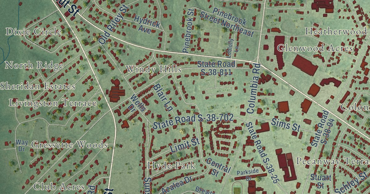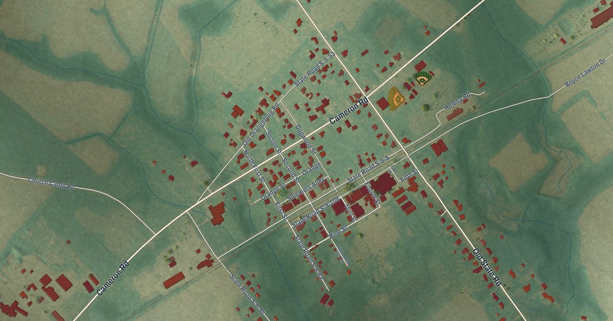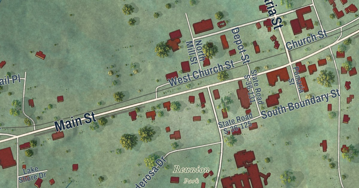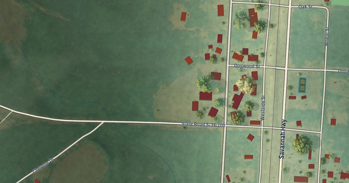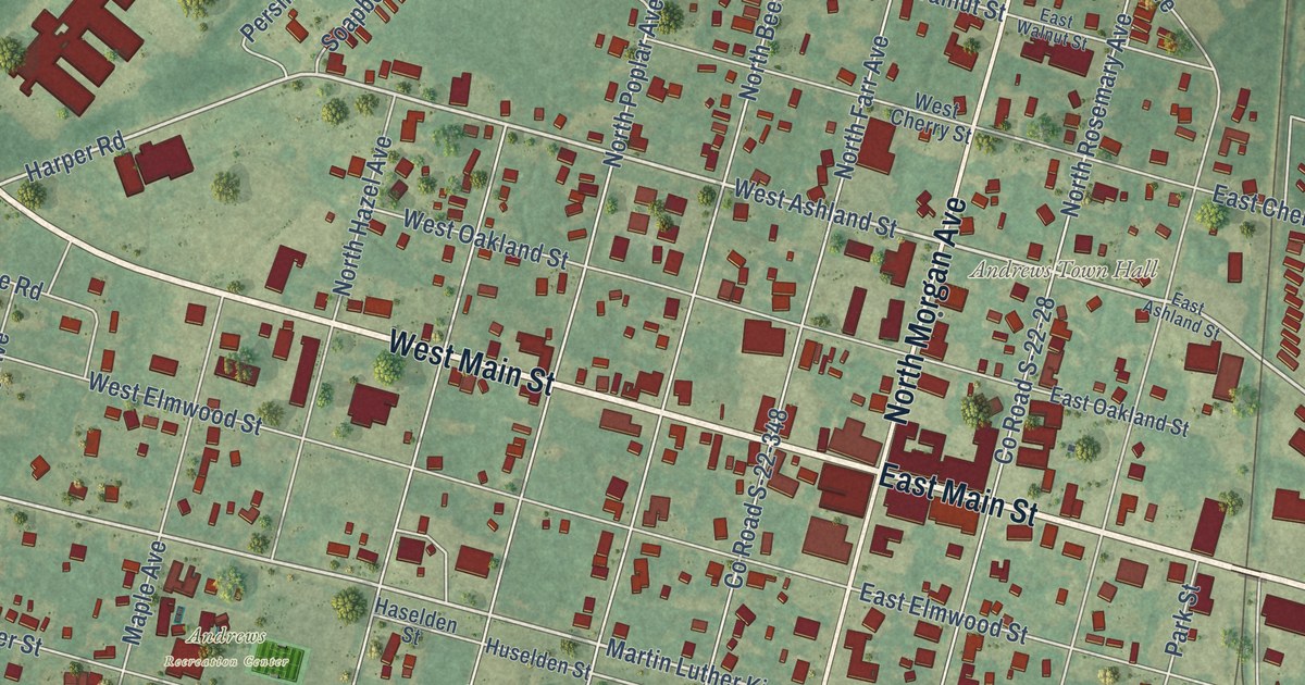
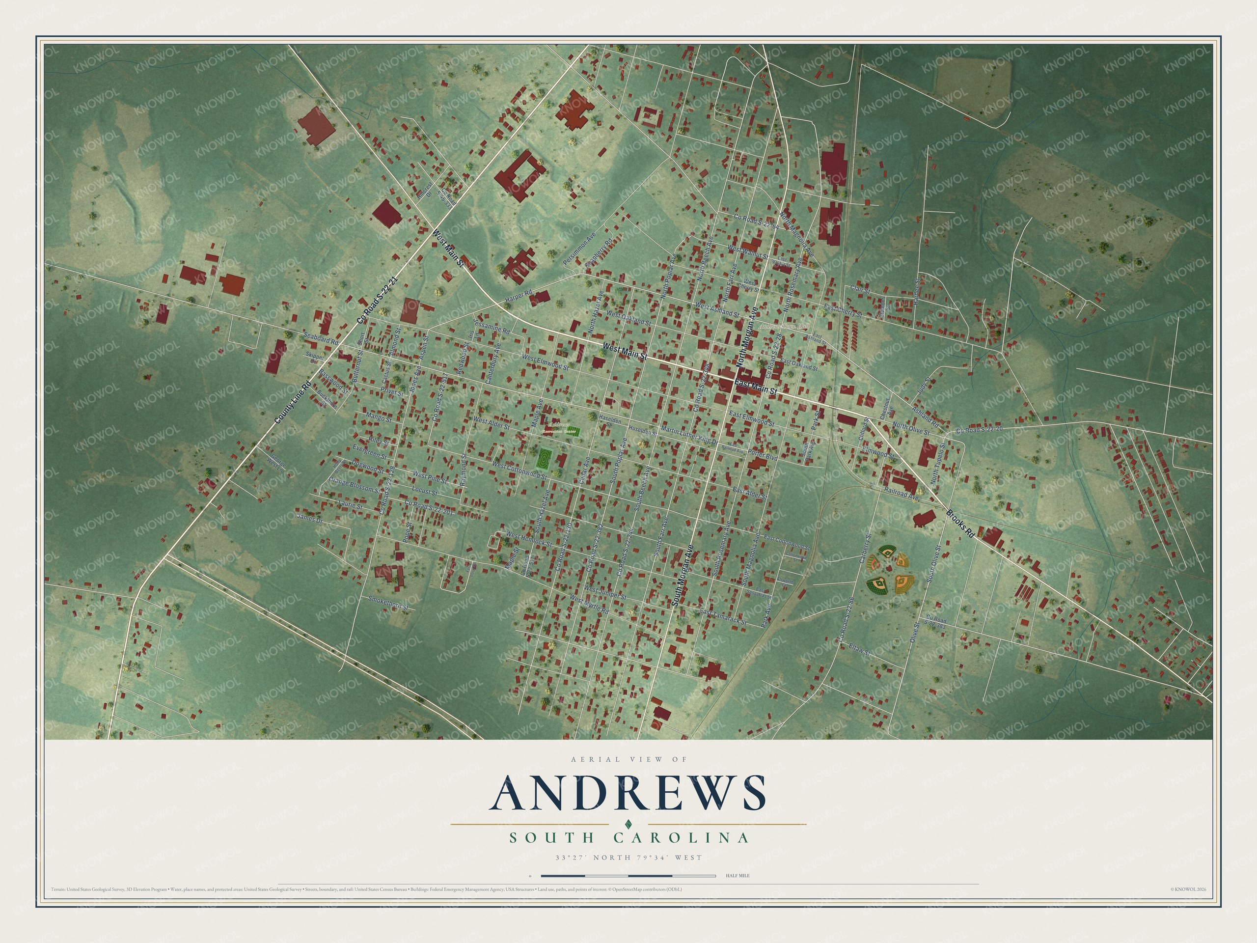
This beautifully detailed map of Andrews, South Carolina was created in 2026 using aerial imagery combined with modern topographical, census, street and landmark data. It’s a one-of-a-kind view of Andrews that combines accurate data with a vintage aesthetic. The map shows every building in its true location, many of the roads carry their names, and the shaded topographic relief shows the shape of the land.
Explore an aerial view of Andrews, South Carolina
On the map you’ll find Andrews Town Hall, West Andrews, and Andrews Recreation Center, along with West Main Street, East Main Street, Brooks Road, County Road S-22-21, County Line Road, South Morgan Avenue, North Morgan Avenue, South Olive Street, West Ashland Street, and more. If you look closely you can even find your house accurately drawn in its correct location. Zoom in on the preview to look for yours.
Did you know this about Andrews, South Carolina?
From Scencyclopedia.org: "At the end of World War II, citizens created the Andrews Development Board in an attempt to lure new business and create new jobs."
Take a closer look at the Andrews map
Street and place names on the Andrews, South Carolina map
These names are printed on the map of Andrews, South Carolina.
Places: Andrews Town Hall and Andrews Recreation Center.
Streets and roads: West Main Street, East Main Street, Brooks Road, County Road S-22-21, County Line Road, South Morgan Avenue, North Morgan Avenue, South Olive Street, West Ashland Street, Ashland Road, Olive Street, Martin Luther King Drive.
More street names, A to Z
Allworth Court, Almond Street, Aspen Street, Basswood Street, Buckthorn Street, Butternut Street, Cactus Street, Canterbury Avenue, Carberry Street, Cedar Avenue, Chestnut Avenue, Clair Street, Clemons Street, Clifford Street, Cottonwood Street, County Road S-22-20, County Road S-22-28, County Road S-22-64, County Road S-22-86, County Road S-22-129, County Road S-22-130, County Road S-22-201, County Road S-22-244, County Road S-22-348, County Road S-22-382, County Road S-22-383, County Road S-22-511, County Road S-22-517, County Road S-45-333, Dogwood Street, East Alder Street, East Ashland Street, East Cherry Street, East Cottonwood Street, East Elmwood Street, East Oakland Street, East Railroad Avenue, East Sassafras Street, East Tamarack Street, East Walnut Street, Elmwood Street, Eltaw Street, Evergreen Street, Fern Loop Road, George West Lane, Hardee Street, Harper Road, Haselden Street, Hillcrest Drive, Holly Berry Street, Huselden Street, Iris Lane, James Drive, Jessamine Road, Jones Avenue, Judy Street, Laurie Street, Locust Street, Mango Street, Maple Avenue, Maple Street, North Beech Avenue, North Farr Avenue, North Hazel Avenue, North Magnolia Avenue, North Olive Street, North Poplar Avenue, North Rosemary Avenue, North Tupelo Street, Orange Blossom Street, Park Avenue, Park Street, Persimmon Avenue, Pope Street, Porter Boulevard, Privet Street, Railroad Avenue, Raymond Street, Redwood Street, Riley Street, Seaboard Road, Short Street, Skipper Drive, Smokethorn Street, Soapberry Road, South Beech Avenue, South Farr Avenue, South Hazel Avenue, South Magnolia Avenue, South Park Avenue, South Poplar Avenue, South Rosemary Avenue, West Alder Street, West Cherry Street, West Cottonwood Street, West Elmwood Street, West Hemlock Street, West Juniper Street, West Myrtle Road, West Oakland Street, West Pine Street, West Walnut Street.
See the Andrews, South Carolina map on a wall
The Andrews map as an 18 x 24 inch print in a black frame.

This beautifully detailed map of Andrews makes an attractive addition to your office, library, or den, and it can even be used to teach children the geography and history of the area. It also makes a great gift for anyone with Andrews roots. When you’re done exploring, click here to get your copy of the Andrews map.