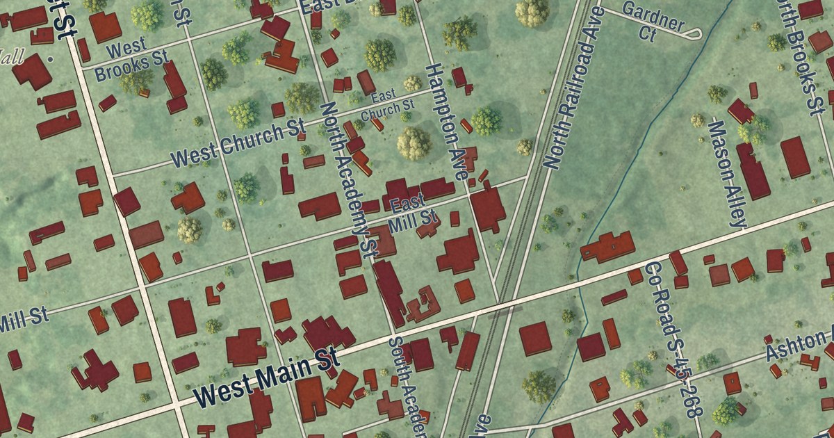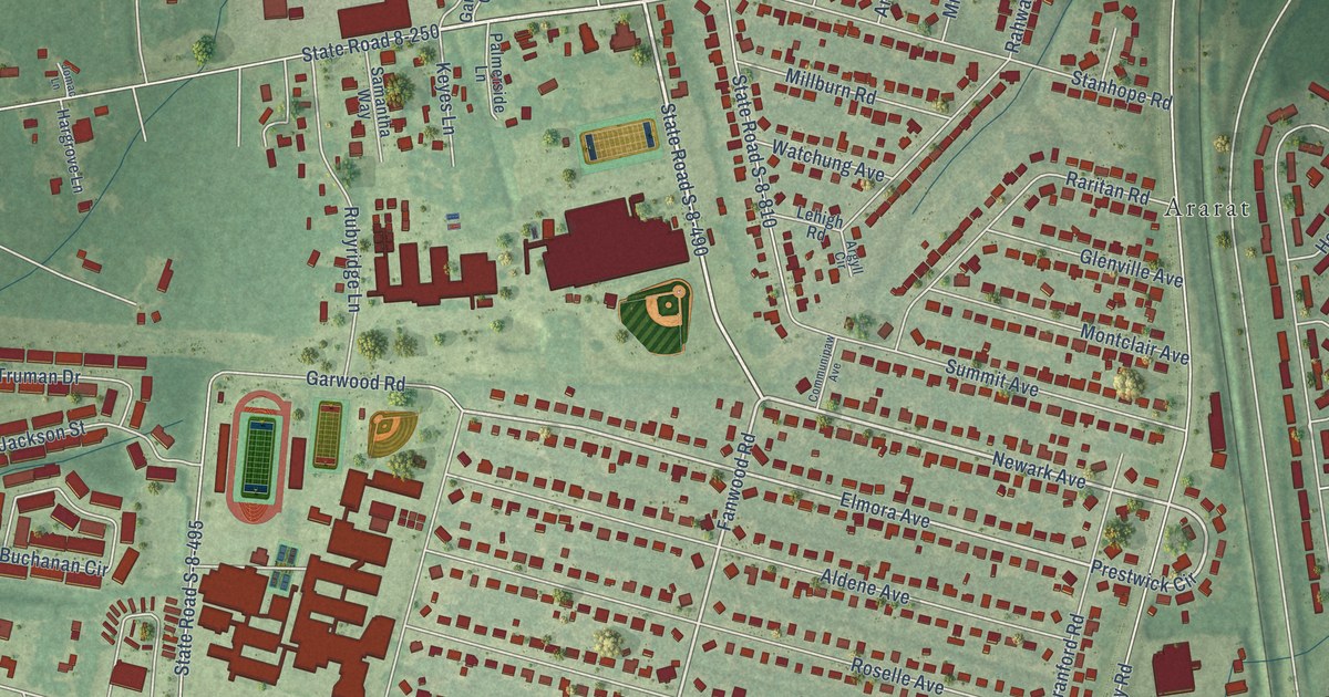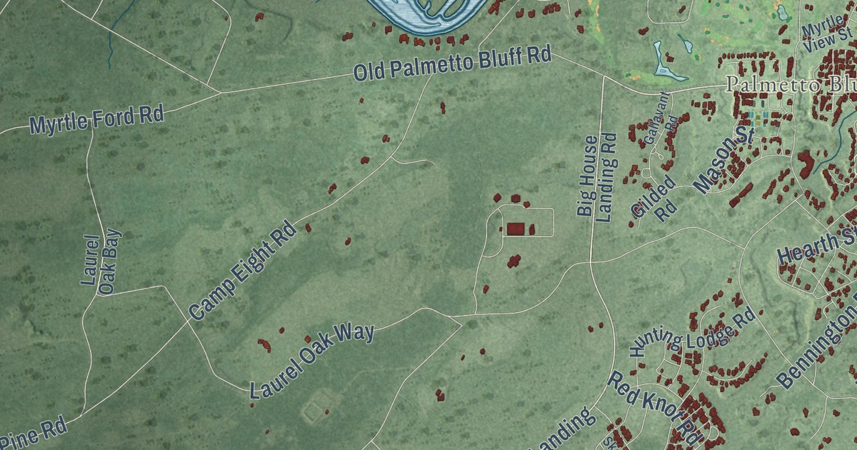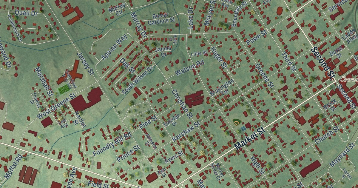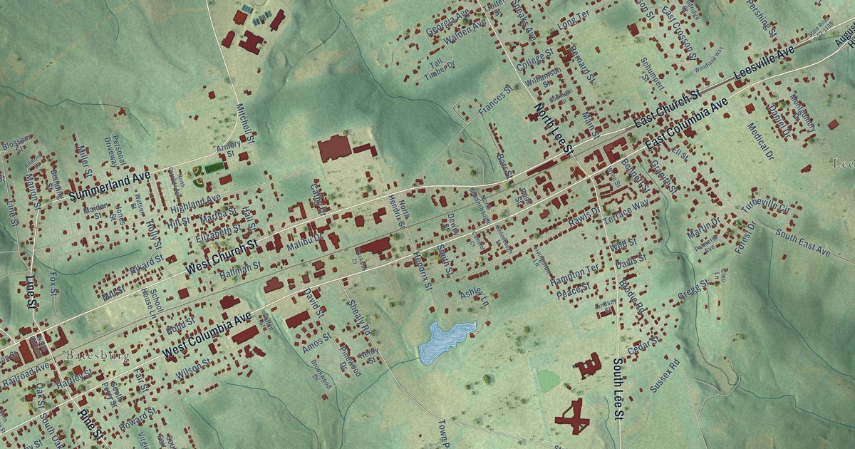
This beautifully detailed map of Batesburg-Leesville, South Carolina was created in 2026 using aerial imagery combined with modern topographical, census, street and landmark data. It’s a one-of-a-kind view of Batesburg-Leesville that combines accurate data with a vintage aesthetic. The map shows every building in its true location, many of the roads carry their names, and the shaded topographic relief shows the shape of the land.
Explore an aerial view of Batesburg-Leesville, South Carolina
On the map you’ll find Leesville and Batesburg, along with East Church Street, East Columbia Avenue, West Church Street, Church Street, West Columbia Avenue, Saluda Avenue, Saluda Highway, Summerland Avenue, Line Street, Pine Street, and more. If you look closely you can even find your house accurately drawn in its correct location. Zoom in on the preview to look for yours.
Did you know this piece of Batesburg-Leesville, South Carolina history?
Batesburg-Leesville joined two towns that grew up back to back on the Ridge in western Lexington County. In 1869 the railroad built a depot in each village. Batesburg became a market town for Ridge farmers, while Leesville became a college town. Voters approved joining the twins in 1992, and the merger was finished in 1993. That’s from the South Carolina Encyclopedia.
Take a closer look at the Batesburg-Leesville map
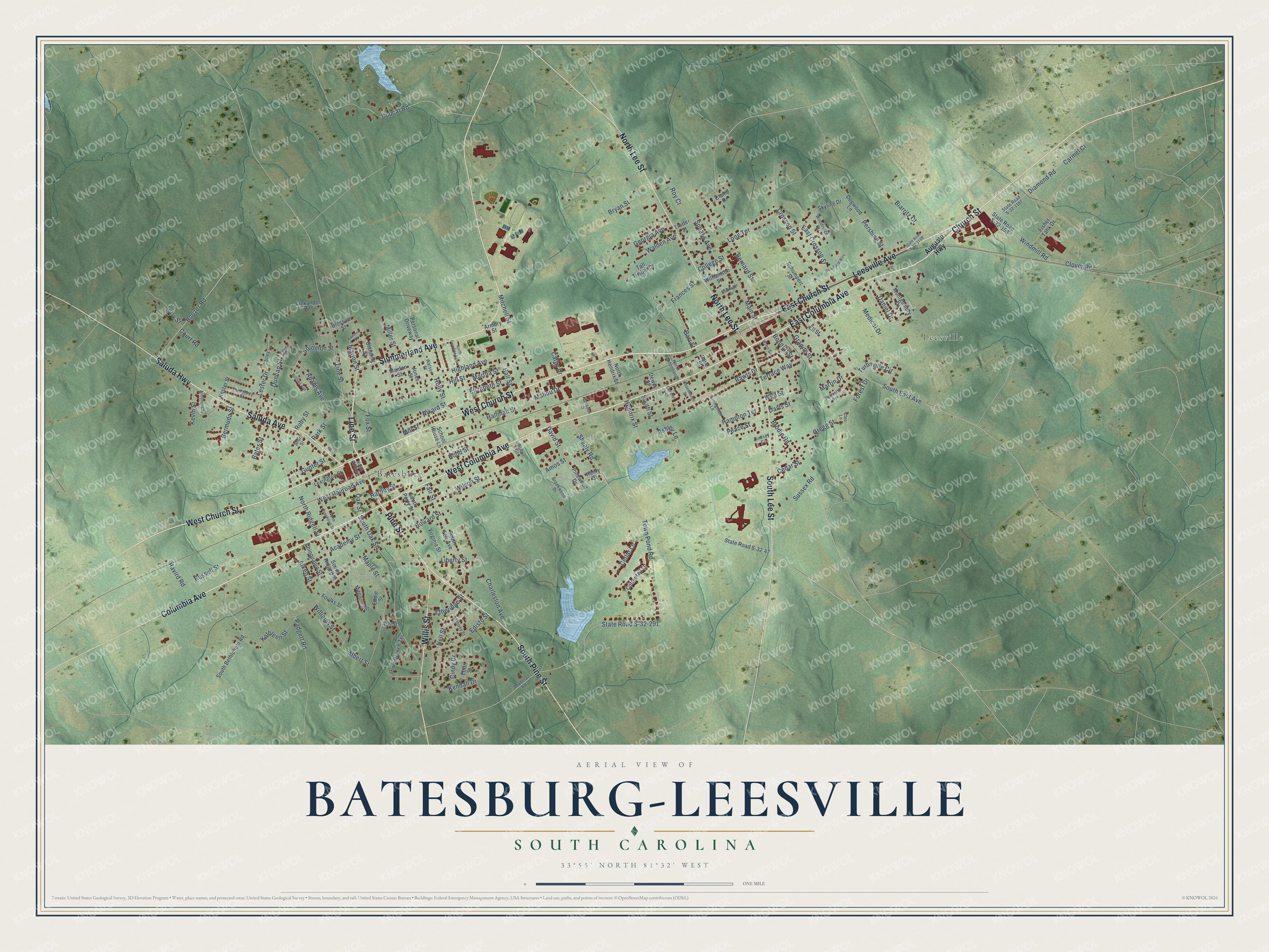
Street and place names on the Batesburg-Leesville, South Carolina map
These names are printed on the map of Batesburg-Leesville, South Carolina.
Places: Leesville and Batesburg.
Streets and roads: East Church Street, East Columbia Avenue, West Church Street, Church Street, West Columbia Avenue, Saluda Avenue, Saluda Highway, Summerland Avenue, Line Street, Pine Street, Leesville Avenue, North Lee Street.
More street names, A to Z
Academy Street, Adams Avenue, Aiken Street, Albert Street, Alexander Street, Amos Street, Anthony Street, Armory Street, Armstrong Street, Ashley Lane, Ash Street, Augusta Highway, Autry Street, Barr Street, Bates Street, Bedenbaugh Street, Beltline Avenue, Bennett Street, Bermuda Street, Bernard Street, Biarritz Court, Blanding Street, Blossom Street, Bobcat Road, Bond Street, Boozer Road, Bouknight Street, Brodie Road, Brookwood Drive, Bryan Street, Camelot Court, Carmel Court, Cathy Drive, Cedar Street, Cellar Lane, Charleston Avenue, Chinquapin Street, Cindy Drive, Clamp Drive, Cleo Lane, Clover Road, College Street, Columbia Avenue, Corley, Cottontail Lane, Court Road, Crosson Street, Daniel Drive, David Street, Davis Street, Dewey Street, Diamond Road, Dogwood Lane, Duncan Street, East Crosson Street, Eddie Street, Edisto Street, Edith Street, Edmond Drive, Elizabeth Street, Ell Street, Etheridge Street, Fair Street, Fisher Tank Drive, Forest Drive, Foulks Street, Fox Street, Frances Street, Georgia Avenue, Granite Street, Gregg Street, Gunter Street, Hallman Street, Hall Street, Hampton Terrace, Hartley Street, Havird Road, Hendrix Street, Henry Street, Highland Avenue, Hill Street, Holly Street, Howard Street, Humphrey Street, Jones Street, Kathleen Street, Kendall Drive, Kester Street, Kevin Street, Lester Drive, Lexington Street, Liberty Street, Lindsey Street, Livingston Lane, Long Terrace, Madera Road, Magnolia Street, Maiden Street, Main Street, Malibu Drive, Maple Street, Marion Street, Martha Street, Martin Drive, Medical Drive, Miller Street, Mill Street, Mitchell Street, Montgomery Drive, Nell Street, North Bendenbaugh, North Carolina Avenue, North Hendrix Street, North Peachtree Street, North Ridgell Street, North Rutland, Oak Street, Olive Branch Terrace, Padgett Road, Palmetto Avenue, Park Street, Peace Street, Pershing Street, Personal Driveway, Pinewood Drive, Rawls Drive, Rikard Street, Rose Street, Roy Court, Ruby Street, Russell Street, Saluda Street, School House Lane, Schumpert Street, Shealy Road, Short Street, Skyline Drive, Smith Street, Solomon Street, South Bethlehem Road, South East Avenue, South Fair Avenue, South Lee Street, South Oak Street, South Perry Street, South Pine Street, South Ridgell Street, Speaks Avenue, State Road S-32-47, State Road S-32-158, State Road S-32-291, State Road S-32-1187, State Road S-32-1198, Sulton Street, Sussex Road, Tall Timber Drive, Terrace Way, Town Pond Road, Trackside Court, Trotter Street, Turbeville Circle, Virginia Street, Walden Avenue, Watson Street, Well Street, West Railroad Avenue, Williamson Street, Williams Street, Willis Street, Wilson Street, Windmill Road, Woodland Way, Woodridge Court, Wren Street.
See the Batesburg-Leesville, South Carolina map on a wall
The Batesburg-Leesville map as an 18 x 24 inch print in a black frame.

This beautifully detailed map of Batesburg-Leesville makes an attractive addition to your office, library, or den, and it can even be used to teach children the geography and history of the area. It also makes a great gift for anyone with Batesburg-Leesville roots. When you’re done exploring, click here to get your copy of the Batesburg-Leesville map.