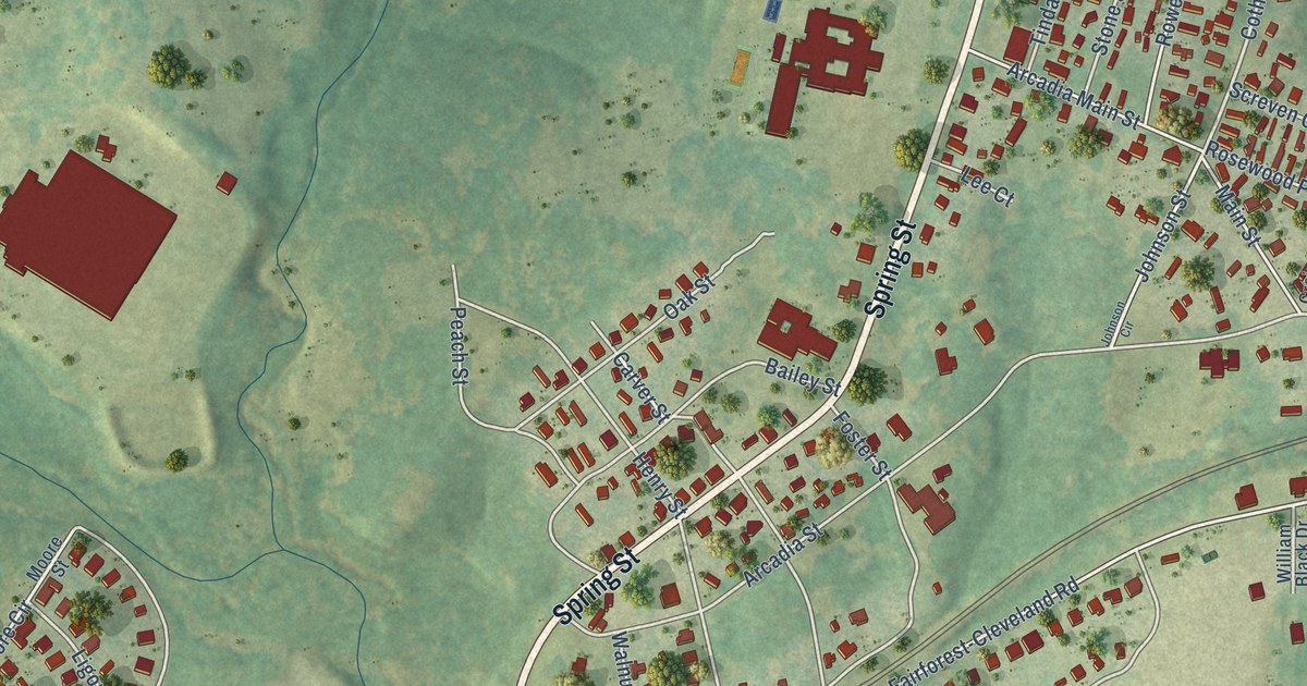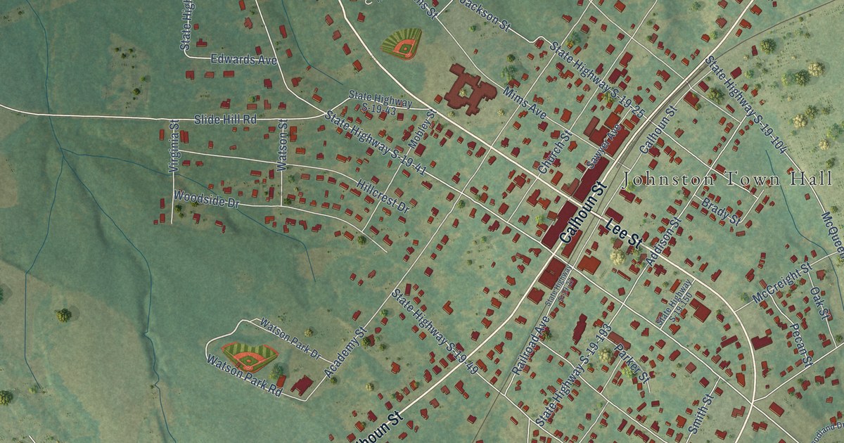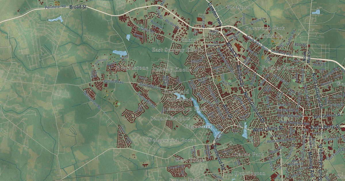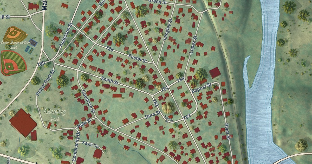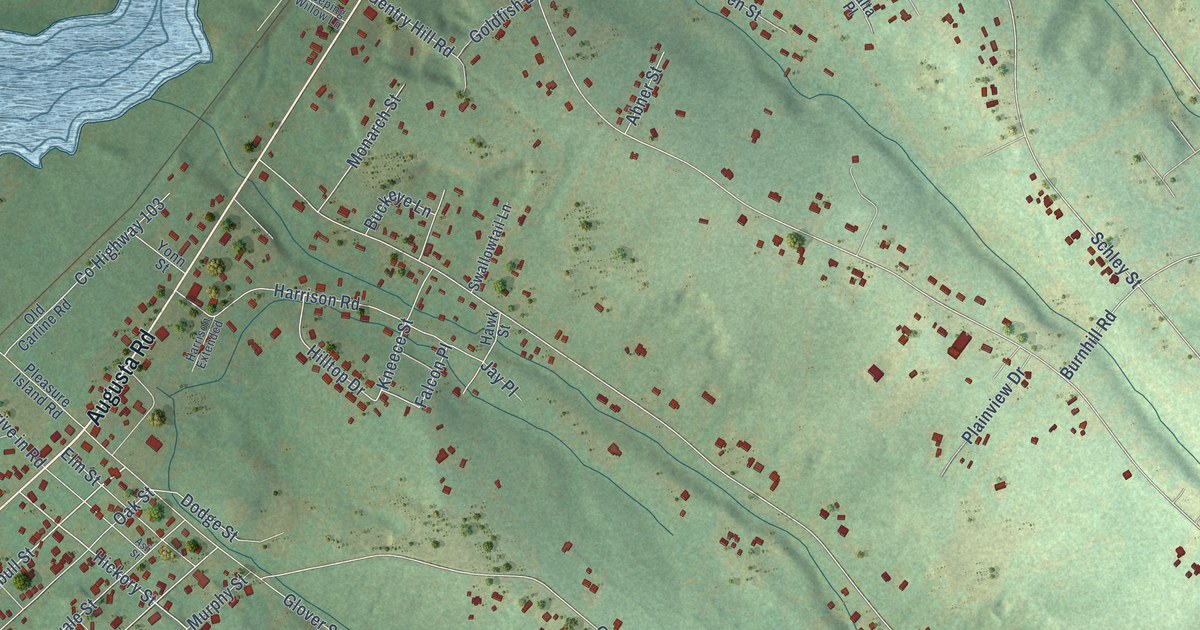
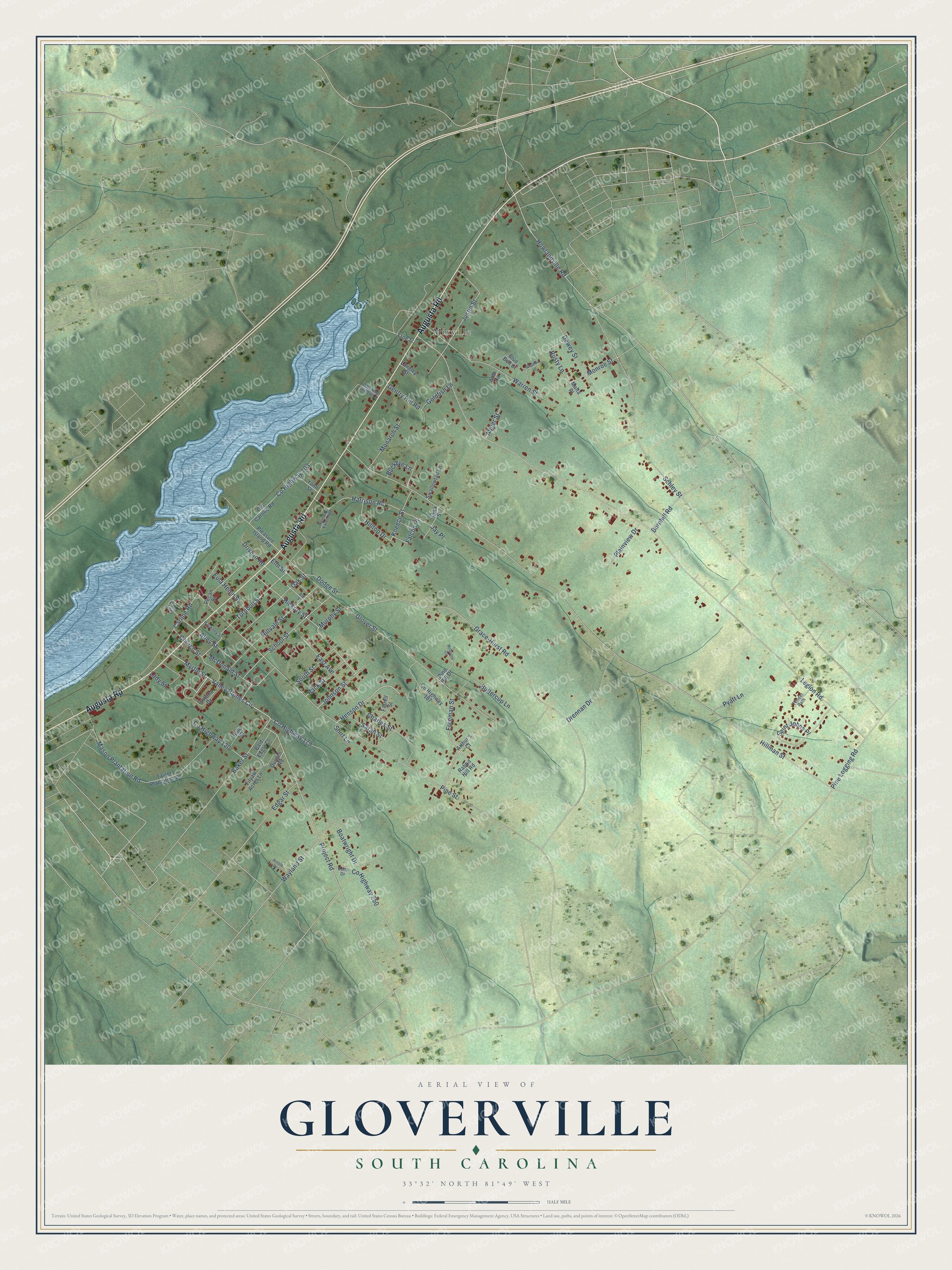
This beautifully detailed map of Gloverville, South Carolina was created in 2026 using aerial imagery combined with modern topographical, census, street and landmark data. It's a modern aerial view of Gloverville in Aiken County, South Carolina, that combines modern data with a vintage aesthetic. The roads feature printed names, and if you look closely you can find your exact house accurately shown in its correct location.
Explore an aerial view of Gloverville, South Carolina
On this map you'll find Mixville, Augusta Road, Valley Homes Circle, Rusty Lane, Hickory Street, Henson Drive, Oak Street, Howlandville Road, Mason Plantation Road, Legion Road, Hillman Street, Pine Street, and more. Each red shape is a building, so zoom in on the preview and look for yours.
Gloverville is a community in Aiken County. The Census Bureau counted 2,406 people here in 2020. Gloverville sits about 2 miles northeast of Langley, 2 miles southwest of Warrenville and 3 miles south of Graniteville. The map prints the town name in its title panel, with the coordinates below it.
Take a closer look at the Gloverville map
Names on this map
These names are printed on this map.
Places: Mixville.
Streets and roads: Augusta Road, Valley Homes Circle, Rusty Lane, Hickory Street, Henson Drive, Oak Street, Howlandville Road, Mason Plantation Road, Legion Road, Hillman Street, Pine Street, Glover Street.
More street names, A to Z
Abner Street, Alibi Lane, Alley Street, Arnold Drive, Arthur's Court, Ash Street, Back Street, Baker Street, Bald Eagle Court, Blue Bell Court, Boatwright Drive, Buckeye Lane, Burnhill Road, Buttercup Lane, Carline Road, Charles Street, Church Street, County Highway 103, County Highway 120, County Highway 179, County Highway 187, County Highway 250, Dewey Street, Dodge Street, Drennan Drive, Drive in Road, Durden Road, East Avenue, Edgar Street, Elm Street, Eula Helen Street, Falcon Place, Farrell Street, Filyaw Acres Lane, Freeman Street, Gentry Hill Road, Goldfish Lane, Grace-Hurst Road, Hackney Street, Harrison Extended, Harrison Road, Hawk Street, Hilltop Drive, Hillvale Street, Jay Place, Johnson Street, Justin Street, Keith Drive, Kneece Street, Lady Street, Langley Street, Lawana Drive, Line Street, Malta Place, McDonald Street, McGravy Circle, Monarch Street, Monroe Street, Murphy Street, Myrtle Street, Old Carline Road, Pecan Street, Pine Hill Drive, Pine Logging Road, Plainview Drive, Pleasure Island Road, Pond Alley, Project Road, Pyatt Lane, Rabbit Hill Road, Ruby Street, Saint Johns Place, Sarah Street, Schley Street, School Street, Shirt Lane, South Street, Swallowtail Lane, Taylor Plantation Lane, Tender Path, Turnbull Street, Warren Street, Wayland Street, Weeping Willow Lane, Wisteria Lane, Yonn Street.
See it on a wall
The Gloverville map as a framed print. Swipe for more.


Created by KNOWOL in 2026. The buildings are small red shapes, the roads carry their printed names, and shaded relief shows the shape of the land. The title panel reads "AERIAL VIEW OF GLOVERVILLE, SOUTH CAROLINA" with 33°32' NORTH 81°49' WEST.
Hang it in the hallway, the office or the cabin, or give it to someone who left Gloverville and still calls it home. Open the preview and look for a street you know. See sizes and frames for the Gloverville map.