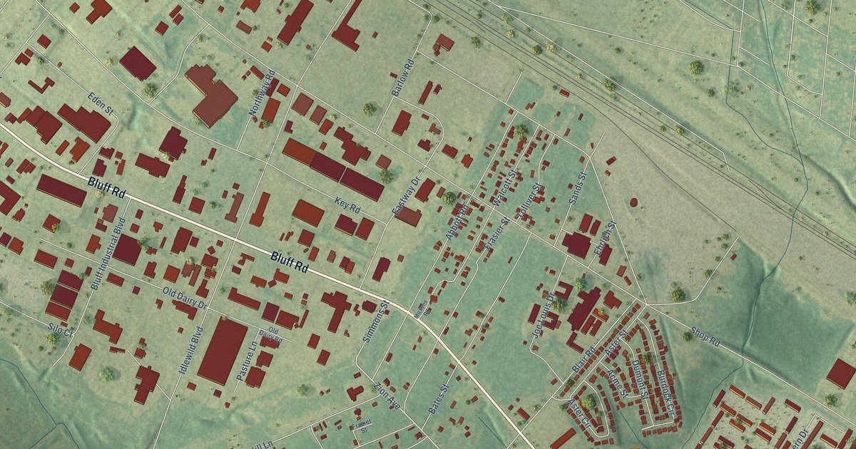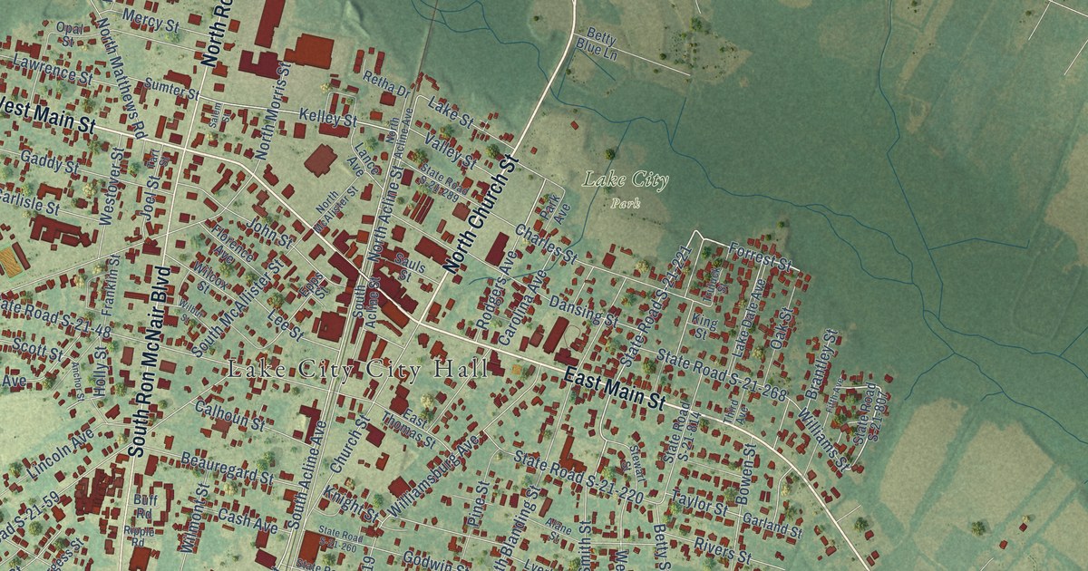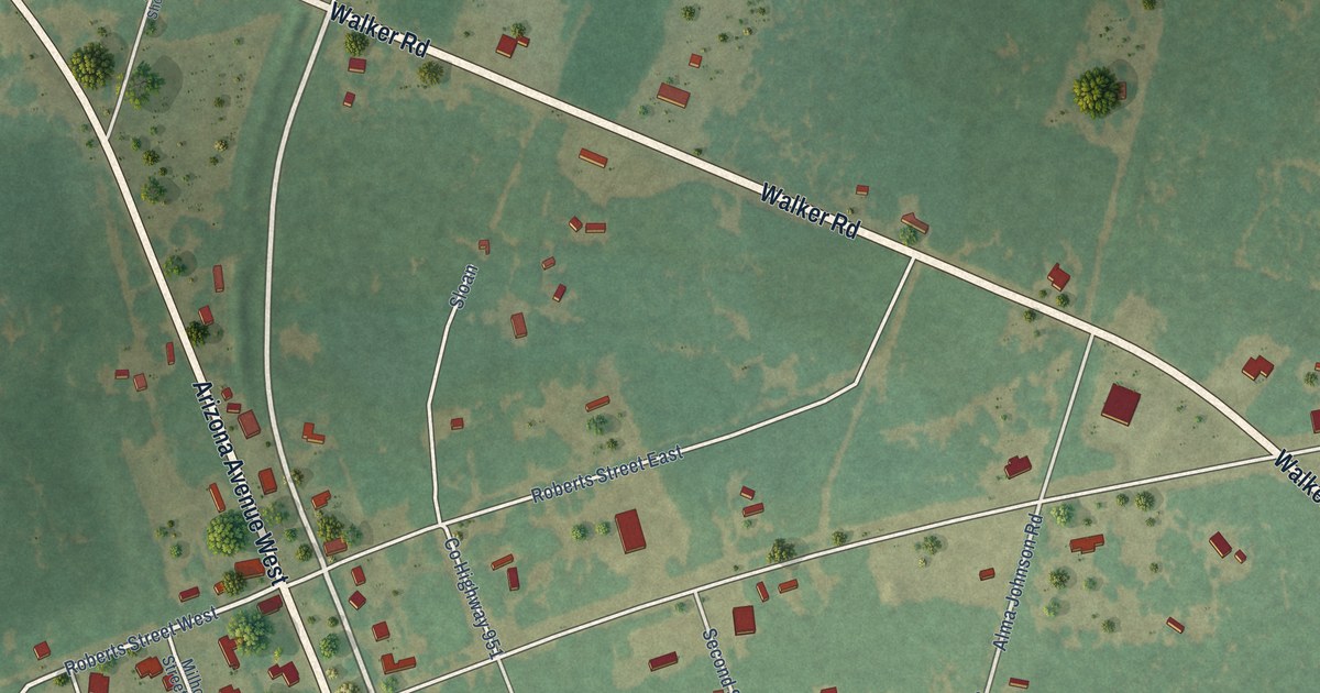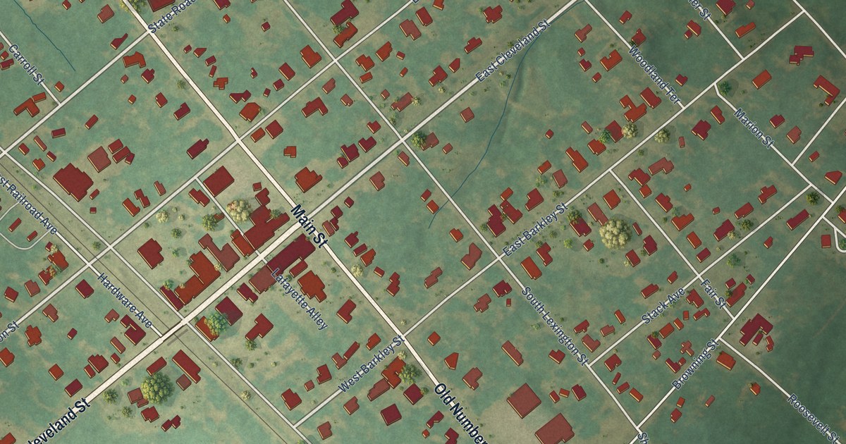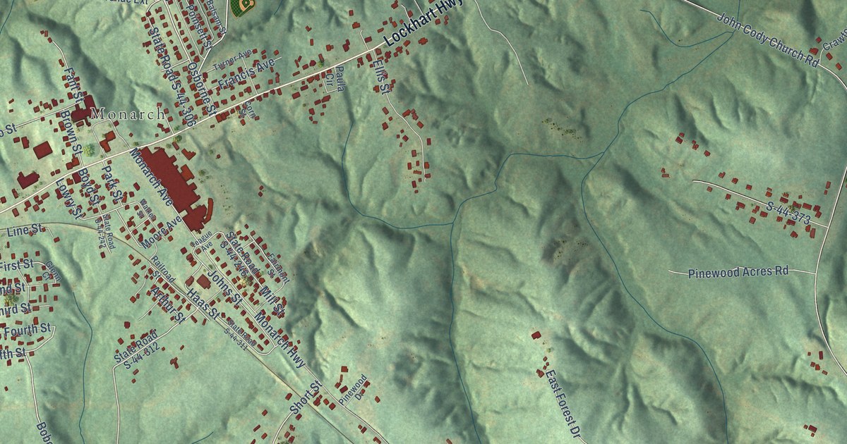
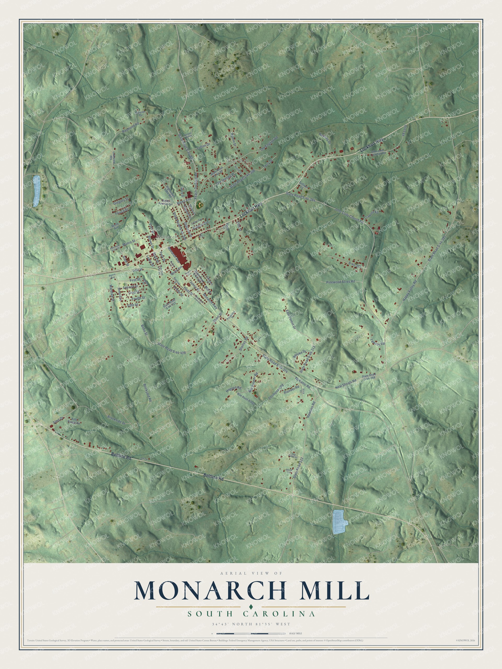
This beautifully detailed map of Monarch Mill, South Carolina was created in 2026 using aerial imagery combined with modern topographical, census, street and landmark data. It's a modern aerial view of Monarch Mill in Union County, South Carolina, that combines modern data with a vintage aesthetic. The roads feature printed names, and if you look closely you can find your exact house accurately shown in its correct location.
Explore an aerial view of Monarch Mill, South Carolina
On this map you'll find New Hill, Monarch, Lockhart Highway, Beltline Road, State Road S-44-69, Bates Avenue, First Street, Fifth Street, Peach Orchard Road, Bobo Street, Short Street, Monarch Avenue, and more. Each red shape is a building, so zoom in on the preview and look for yours.
Monarch Mill is a community in Union County. The Census Bureau counted 1,584 people here in 2020. Monarch Mill sits about 2 miles east of Union, 6 miles east of Buffalo and 9 miles southwest of Lockhart. The map prints the town name in its title panel, with the coordinates below it.
Take a closer look at the Monarch Mill map
Names on this map
These names are printed on this map.
Places: New Hill and Monarch.
Streets and roads: Lockhart Highway, Beltline Road, State Road S-44-69, Bates Avenue, First Street, Fifth Street, Peach Orchard Road, Bobo Street, Short Street, Monarch Avenue, Happy Valley Road, State Road S-44-391.
More street names, A to Z
49 Loop, Alice Lane, Arthur Street, Austin Street, Balsam Street, Bates Avenue Extension, Boyd Street, Brickyard Road, Brooke Drive, Brookside Drive, Brown Street, Corn Street, Crawford Road, Duncan Circle, East Forest Drive, Ellis Street, Fairmont Street, Fant Street, Fourth Street, Francis Avenue, Glenn Court, Gregory Street, Haas Street, Hamm Street, Hawkins Road, Hightower Lake Road, Hogpen Road, Jacob Lane, John Cody Church Road, Johns Street, Lakeview Heights, Lawson Road, Line Street, Lofton Drive, Log Cabin Drive, Lowry Street, Mark Street, McKanic Road, Mill Street, Monarch Highway, Moore Avenue, Munro Street, Neal Shoals Road, Nick's Place, Old English Road, Old Lower Lockhart Road, Old Shetley Place, Osborne Street, Park Street, Paula Circle, Perrin Avenue, Pinewood Acres Road, Pinewood Drive, Pioneer Road, Poinsett Street, Railroad Street, Ramsey Drive, Raymond Road, Rifle Range Road, Rim Rock Ridge, S-44-373, Second Street, Shetley Road, Siam Street, Sims Avenue, Sims Drive, State Road 522, State Road S-44-90, State Road S-44-242, State Road S-44-246, State Road S-44-268, State Road S-44-306, State Road S-44-311, State Road S-44-312, State Road S-44-313, State Road S-44-374, State Road S-44-384, State Road S-44-396, State Road S-44-428, State Road S-44-475, Stutts Avenue, Sullivan Circle, Teague Avenue, Terry Drive, Third Street, Thompson Road, Toluca Street, Turner Avenue, Vinson Ridge, Walker Street, Wardlaw Street, Will Palmer Road.
See it on a wall
The Monarch Mill map as a framed print. Swipe for more.


Created by KNOWOL in 2026. The buildings are small red shapes, the roads carry their printed names, and shaded relief shows the shape of the land. The title panel reads "AERIAL VIEW OF MONARCH MILL, SOUTH CAROLINA" with 34°43' NORTH 81°35' WEST.
It suits a den, a classroom or a front hall, and it makes a gift for anyone with Monarch Mill roots. Open the preview and find the block you know. See sizes and frames for the Monarch Mill map.