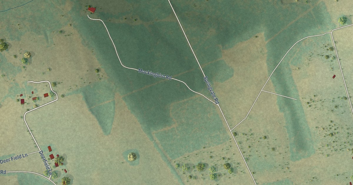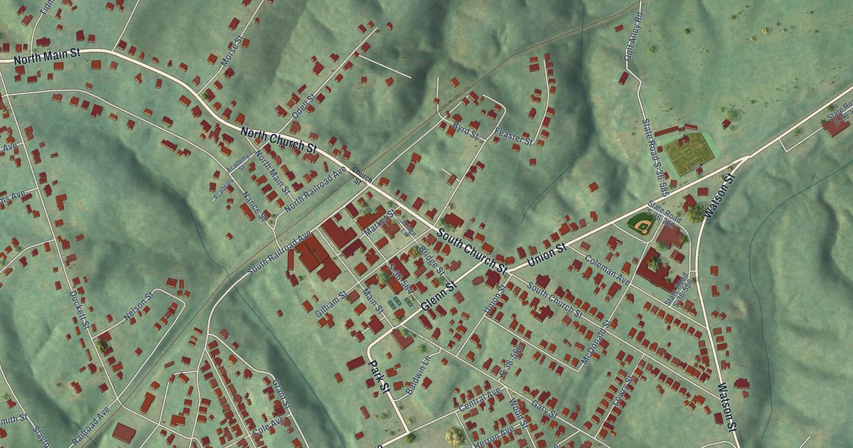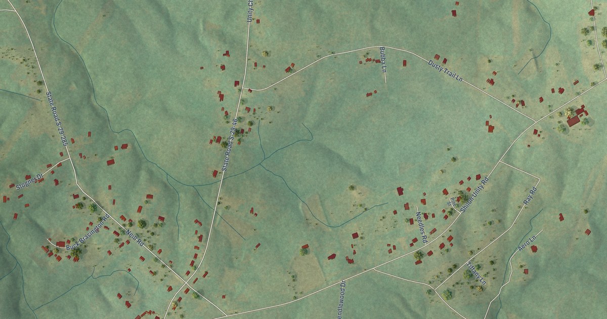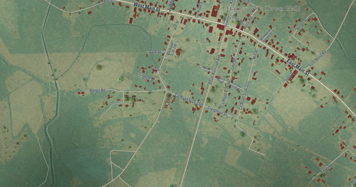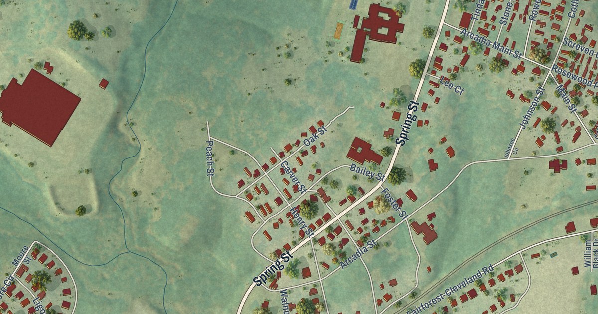
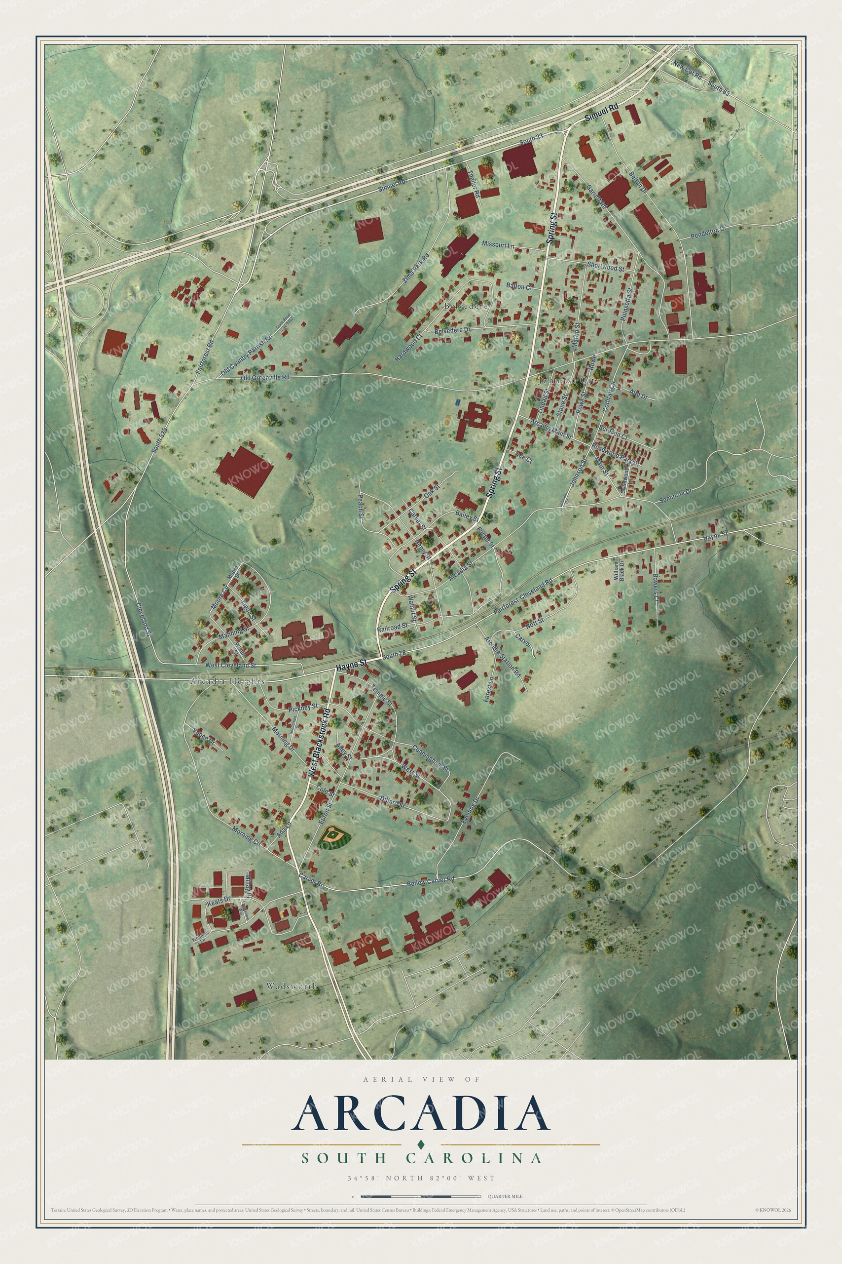
This beautifully detailed map of Arcadia, South Carolina was created in 2026 using aerial imagery combined with modern topographical, census, street and landmark data. It's a modern aerial view of Arcadia in Spartanburg County, South Carolina, that combines modern data with a vintage aesthetic. The roads feature printed names, and if you look closely you can find your exact house accurately shown in its correct location.
Explore an aerial view of Arcadia, South Carolina
On this map you'll find Arcadia Heights, Belvedere, Wadsworth, Johnson City, Spring Street, Hayne Street, West Blackstock Road, Simuel Road, South 23, Fairforest-Cleveland Road, South 78, South 525, and more. Each red shape is a building, so zoom in on the preview and look for yours.
Arcadia is a community in Spartanburg County. The Census Bureau counted 3,246 people here in 2020. Arcadia sits about 2 miles northeast of Fairforest, 2 miles southwest of Hilltop and 3 miles southwest of Valley Falls. The map prints the town name in its title panel, with the coordinates below it.
Take a closer look at the Arcadia map
Names on this map
These names are printed on this map.
Places: Arcadia Heights, Belvedere, Wadsworth and Johnson City.
Streets and roads: Spring Street, Hayne Street, West Blackstock Road, Simuel Road, South 23, Fairforest-Cleveland Road, South 78, South 525, Johnson Street, Cothran Circle, West Street, Moore Circle.
More street names, A to Z
Ada Lane, Alley Street, Alta Drive, Arcadia Main Street, Arcadia Station Road, Arcadia Street, Bailey Street, Balton Court, Bellew Carver Road, Belton Drive, Belvedere Drive, Bowers Court, Carver, Carver Road, Carver Street, Cleveland Street, Cole Street, Crainwood Lane, Cunningham Street, Dillard Street, Epton Street, Evening Drive, Fairforest Road, Forest Lane, Foster Street, Garrett Road, Hardwood Court, Henderson Street, Henry Street, Johnson Circle, Keats Drive, Lee Court, Ligon Street, Longfellow Way, Main Street, Manning Street, Martin Street, Millay Place, Missouri Lane, Moore Street, Morning Circle, Morning Drive, New Cut Road, Nott Street, Oak Street, Old Country Parrish Road, Old Greenville Road, Peach Street, Pendelton Drive, Pickney Street, Poinsetta Street, Railroad Street, Rosewood Park Drive, Rowe, Rowe Street, Screven Court, Seminole Drive, Shortwood Street, South 65, State Road S-42-9862, Stone Street, Temple Street, Theiler Road, Tindall Street, Vance Drive, Walnut Street, West Cleveland Street, Whitin Street, Whitman Lane, William Black Drive, Zima Park Road.
See it on a wall
The Arcadia map as a framed print. Swipe for more.


Created by KNOWOL in 2026. The buildings are small red shapes, the roads carry their printed names, and shaded relief shows the shape of the land. The title panel reads "AERIAL VIEW OF ARCADIA, SOUTH CAROLINA" with 34°58' NORTH 82°00' WEST.
It looks right in a kitchen, an office or a den, and it's a gift for anyone who grew up in Arcadia or moved away. Open the preview and find your street. See sizes and frames for the Arcadia map.