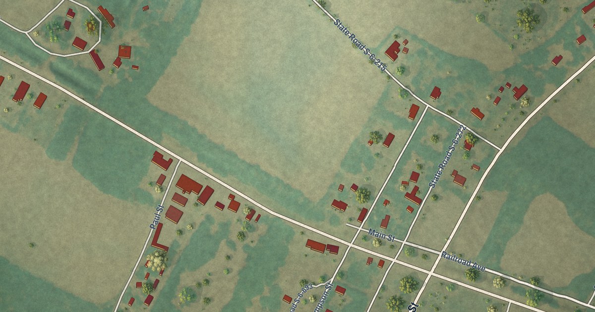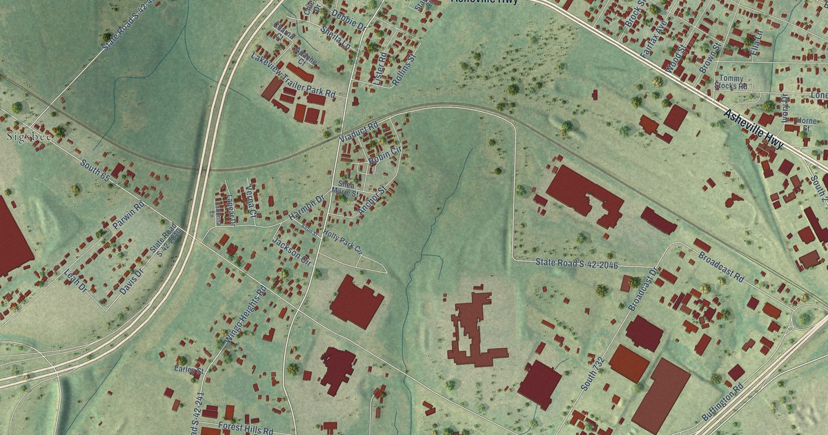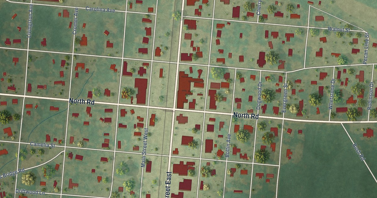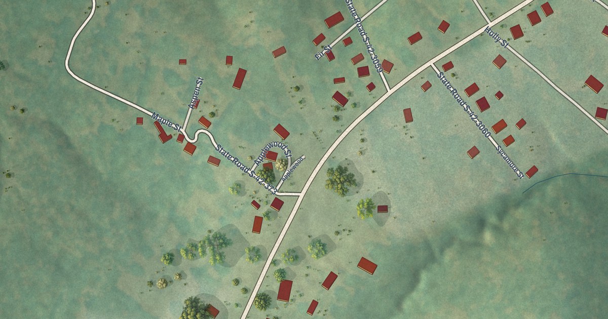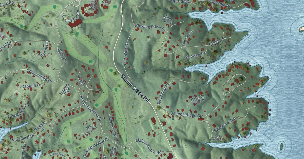
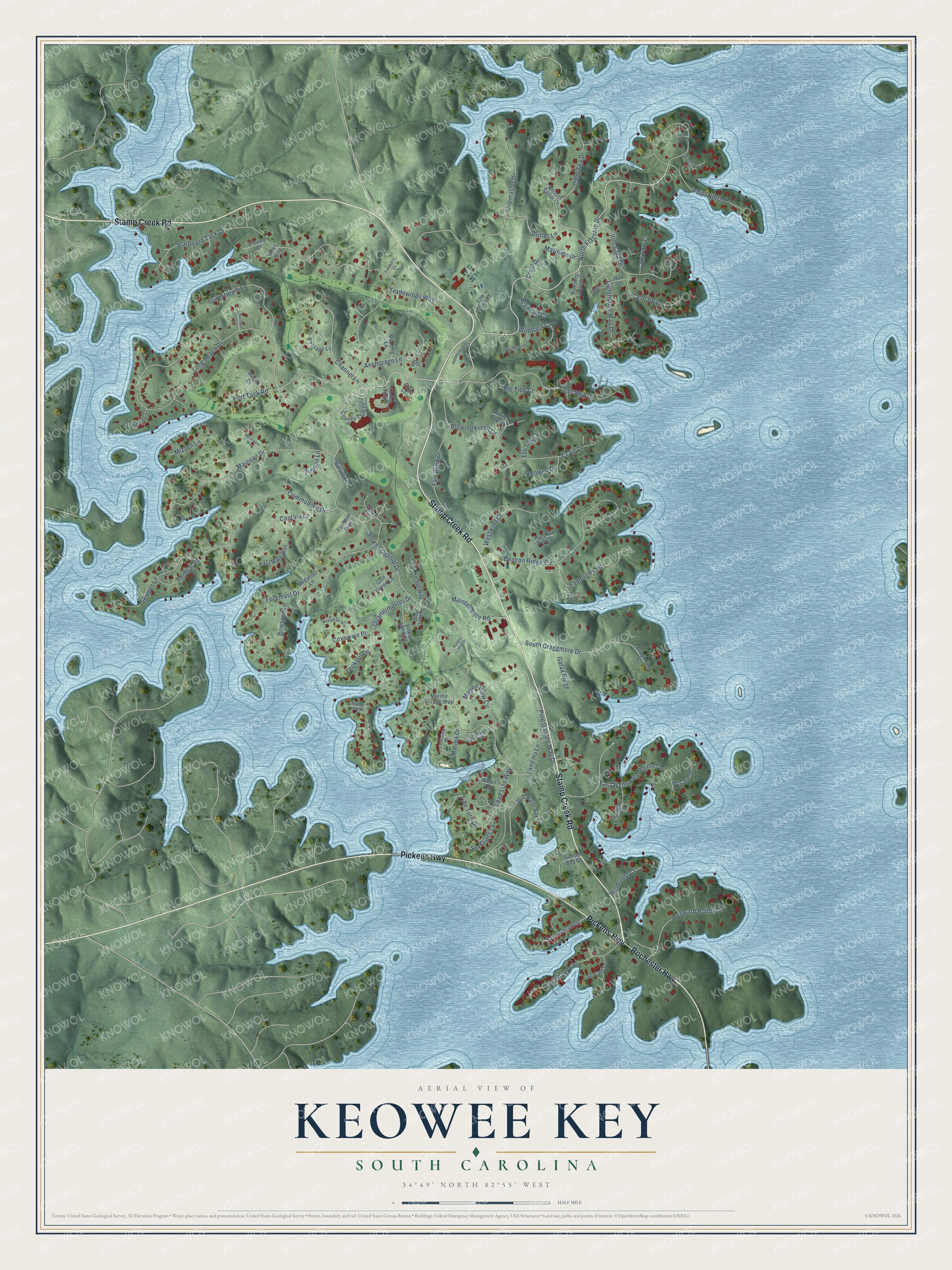
This beautifully detailed map of Keowee Key, South Carolina was created in 2026 using aerial imagery combined with modern topographical, census, street and landmark data. It's a modern aerial view of Keowee Key in Oconee County, South Carolina, that combines modern data with a vintage aesthetic. The roads feature printed names, and if you look closely you can find your exact house accurately shown in its correct location.
Explore an aerial view of Keowee Key, South Carolina
On this map you'll find Stamp Creek Road, Pickens Highway, Rochester Highway, South Flagship Drive, North Flagship Drive, Starboard Tack Drive, Long Reach Drive, Beacon Ridge Circle, Shipmaster Drive, Blowing Fresh Drive, Mainsail Drive, Quartermaster Drive, and more. Each red shape is a building, so zoom in on the preview and look for yours.
Keowee Key is a community in Oconee County. The Census Bureau counted 2,716 people here in 2020. Keowee Key sits about 6 miles west of Six Mile, 6 miles southeast of Salem and 7 miles north of Newry. The map prints the town name in its title panel, with the coordinates below it.
Take a closer look at the Keowee Key map
Names on this map
These names are printed on this map.
Streets and roads: Stamp Creek Road, Pickens Highway, Rochester Highway, South Flagship Drive, North Flagship Drive, Starboard Tack Drive, Long Reach Drive, Beacon Ridge Circle, Shipmaster Drive, Blowing Fresh Drive, Mainsail Drive, Quartermaster Drive.
More street names, A to Z
Admiral Lane, Anchorage Lane, Ballast Lane, Bay Court, Beach Court, Beacon Drive, Boatswain Way, Bowsprit Lane, Calm Sea Drive, Captain Lane, Cardinal Point, Cats Paw Court, Channel Lane, Club Court, Commodore Drive, Country Club Drive, Coveview Court, Coxswain Place, Craig Lane, Crest Drive, Cutter Lane, Day Beacon Court, Deck House Lane, Dinghy Court, Divot Landing, Drifter Lane, East Blue Heron Drive, Eastern Point, East Wynnward Pointe Drive, Ebb Tide Court, Ensign Lane, Estuary Court, Fair Wind Drive, First Mate Way, Foremast Drive, Galax Ridge, Golf Green Lane, Grapevine Court, Gulf Stream Lane, Gybe Ho Court, Harbor Lights Drive, Harbour View Drive, Helmsman Court, Hull Lane, Inlet Way, Iron Clad Drive, Iron Clad Road, Keepers Lantern Drive, Keowee Drive, Land Ho Lane, Lash Up Lane, Lead Line Way, Lighthouse Way Drive, Links Landing, Lookout Lane, Low Tide Court, Maintenance Road, Marina Drive, Marina View Circle, Marina Village Way, Maritime Drive, McCalls Drive, Midships Lane, Mizzen Lane, Mooring Lane, Narrows Court, Night Cap Lane, Par Harbor Way, Passage Lane, Pine Garden Way Drive, Plainsail Court, Point North Drive, Port Tack Road, Purser Point, Rip Tide Court, Safe Haven Court, Sextant Drive, Skipper Lane, Smooth Sailor Court, South Craggmore Drive, South Reach Lane, Spinnaker Way, Spy Glass Lane, Still Water Bay Drive, Sunset Bay Drive, Tall Ship Drive, Tide Turn Drive, Tidewater Court, Topsail Lane, Tradewinds Way, Westwind Court, Wharf Drive, White Cap Court, Windcrest Court, Windlass Court, Woodgreene Court, Wynward Pointe Drive, Yardarm Way.
See it on a wall
The Keowee Key map as a framed print. Swipe for more.


Created by KNOWOL in 2026. The buildings are small red shapes, the roads carry their printed names, and shaded relief shows the shape of the land. The title panel reads "AERIAL VIEW OF KEOWEE KEY, SOUTH CAROLINA" with 34°49' NORTH 82°55' WEST.
It suits a den, a classroom or a front hall, and it makes a gift for anyone with Keowee Key roots. Open the preview and find the block you know. See sizes and frames for the Keowee Key map.